World Continents Map

Map of USA

Geo Mapping Software Examples - World Map Outline

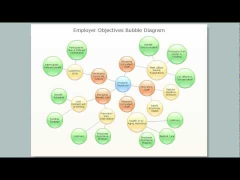
Bubble Map Maker

Map of UK

 Continent Maps
Continent Maps solution extends ConceptDraw DIAGRAM software with templates, samples and libraries of vector stencils for drawing the thematic maps of continents, state maps of USA and Australia.
Value Stream Mapping Software

Map of USA States

Vector Map of Germany

Typography Infographic Software

 Directional Maps
Directional Maps solution extends ConceptDraw DIAGRAM software with templates, samples and libraries of vector stencils for drawing the directional, location, site, transit, road and route maps, plans and schemes.
Geo Map — South America Continent

Geo Map Software

Maps and Directions

USA Map

 Customer Journey Mapping
Customer Journey Mapping Solution for ConceptDraw DIAGRAM opens incredibly broad opportunities for marketing and business specialists, product managers, designers, engineers, and other people interested in business development, increasing the product’s audience, its success and users' demand, providing them with capabilities of customer journey mapping. The included diagramming and customer journey mapping tools, predesigned vector customer journey mapping icons and charts, consumer journey mapping connectors, user journey and customer mapping figures, customer experience map icons and touchpoint icons, quick-start templates and samples provide excellent conditions for the customer journey mapping process, for creating Customer Journey Map and Customer Experience Map.
Map of UK — Isle of Man

Types of Map - Overview

 Soccer
The Soccer solution is ideal for using for all the ConceptDraw DIAGRAM users in order to make professionally-looking soccer-related drawings to use in documents, presentations and on the professional websites illustrating them with the scalable vector sports diagrams.
Best Diagramming

- World Continents Map | Soccer | Canada Map Color Coded
- World Continents Map | World Political Map Colored By Continent
- Design elements - Education maps ( World map ) | Education ...
- 7 Continents Map | Geo Mapping Software Examples - World Map ...
- How to Support Your Mind Map with Visual Elements - software tools
- ConceptDraw Solution Park | Geo Map Software | Continent Maps ...
- Idea Outline | Exam Preparation Mind Map | ConceptDraw Arrows10 ...
- Sales Process Flowchart Symbols | Concept Map Maker | Flowcharts ...
- Educational Technology Tools | Education World Map Download