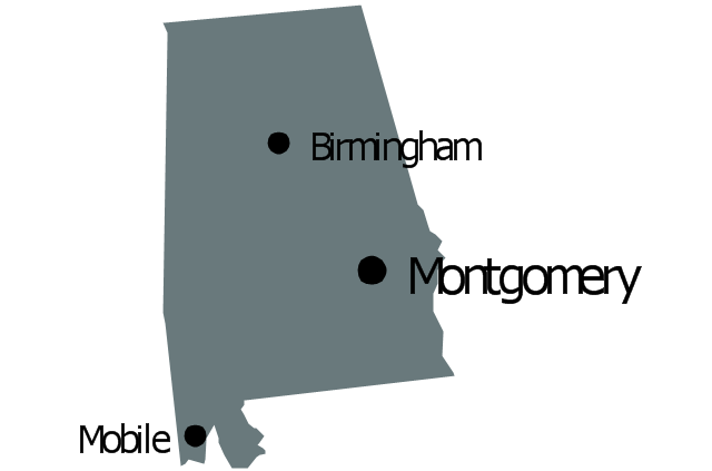
Geo Map - USA - New York

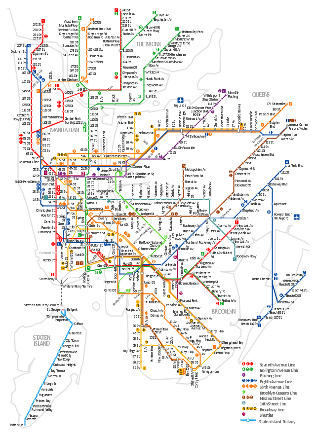
Infographic software: the sample of New York City Subway map

How to draw Metro Map style infographics? Moscow, New York, Los Angeles, London

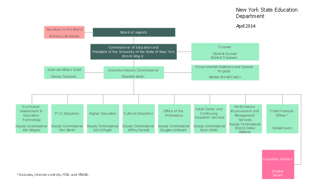
This organization chart sample was created on the base of the figure from the website of New York State Education Department (NYSED).
"The New York State Education Department is part of the University of the State of New York (USNY), one of the most complete, interconnected systems of educational services in the United States."
[oms.nysed.gov/ orgchart/ ]
The organizational chart example "New York State Education Department" was created using the ConceptDraw PRO diagramming and vector drawing software extended with the Organizational Charts solution from the Management area of ConceptDraw Solution Park.
Organizational chart
How to draw Metro Map style infographics? (New York)
</i> *")
"The New York City Subway is a rapid transit system owned by the City of New York and leased to the New York City Transit Authority, a subsidiary agency of the Metropolitan Transportation Authority. It is the most extensive public transportation system in the world by number of stations, with 468 stations in operation (421, if stations connected by transfers are counted as single stations). The New York City Subway is also one of the world's oldest public transit systems. Overall, the system contains 209 mi (337 km) of routes, translating into 656 miles (1,056 km) of revenue track; and a total of 842 miles (1,355 km) including non-revenue trackage." [New York City Subway. Wikipedia]
The transit map example "New York City Subway map" was created using the ConceptDraw PRO diagramming and vector drawing software extended with the Metro Map solution from the Maps area of ConceptDraw Solution Park.
The transit map example "New York City Subway map" was created using the ConceptDraw PRO diagramming and vector drawing software extended with the Metro Map solution from the Maps area of ConceptDraw Solution Park.
New York City Subway
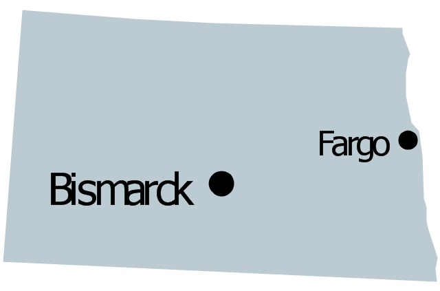
Geo Map - USA - New Hampshire

Map Infographic Design

Geo Map - USA - New Jersey

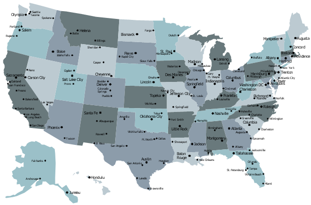
The vector stencils library "United States of America" contains 53 state map contours for drawing thematic maps of USA.
Use it for visual representation of geospatial information, statistics and quantitative data.
The state map contours example "United States of America - Vector stencils library" was created using the ConceptDraw PRO diagramming and vector drawing software extended with the Continent Maps solution from the Maps area of ConceptDraw Solution Park.
USA (color)
-united-states-of-america---vector-stencils-library.png--diagram-flowchart-example.png)
USA

Alabama

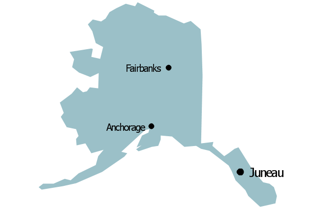
Alaska

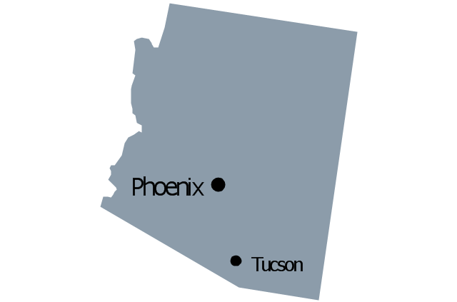
Arizona

Arkansas

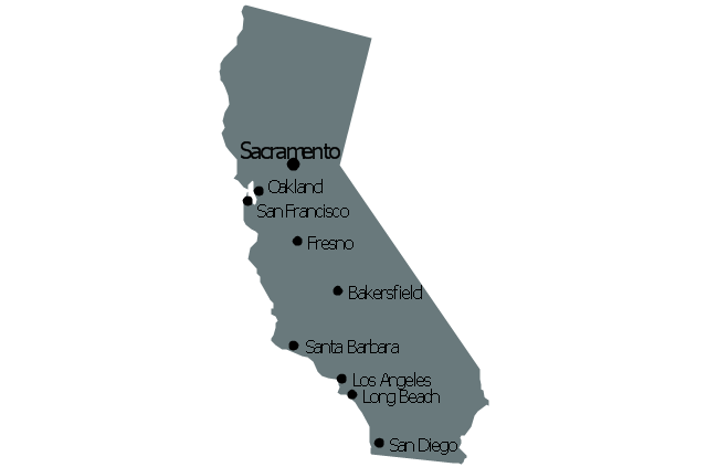
California

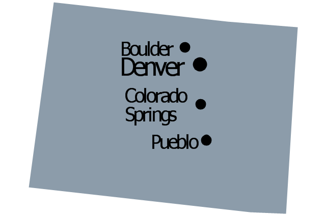
Colorado

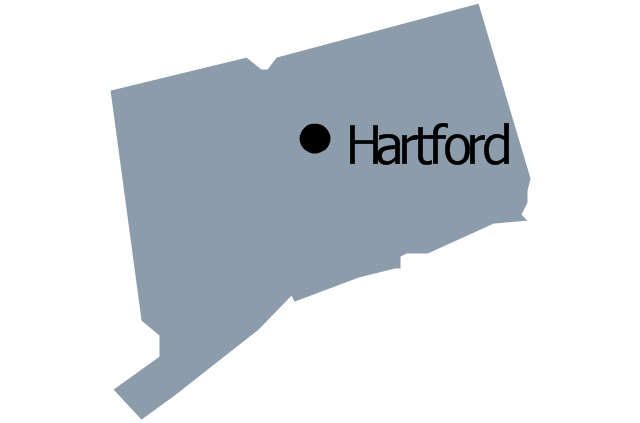
Connecticut

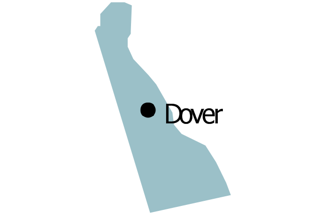
Delaware

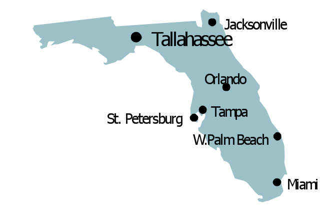
Florida

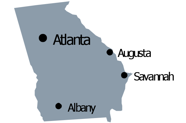
Georgia

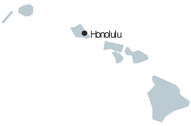
Hawaii

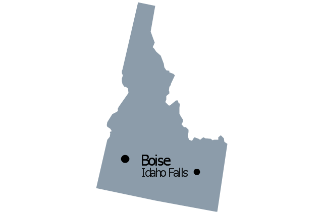
Idaho

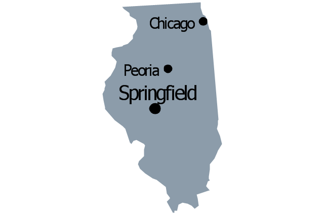
Illinois

Indiana

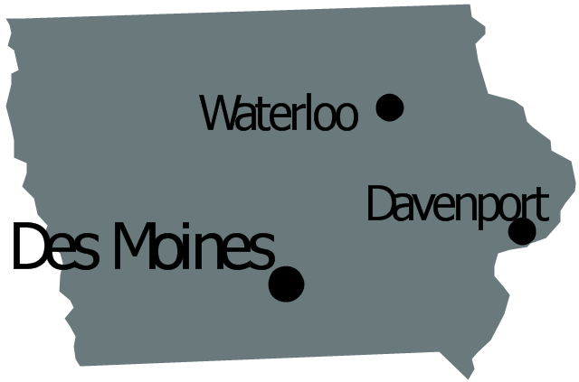
Iowa

Kansas

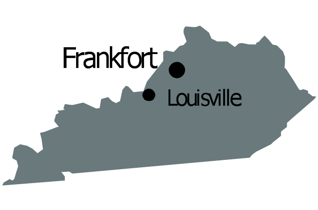
Kentucky

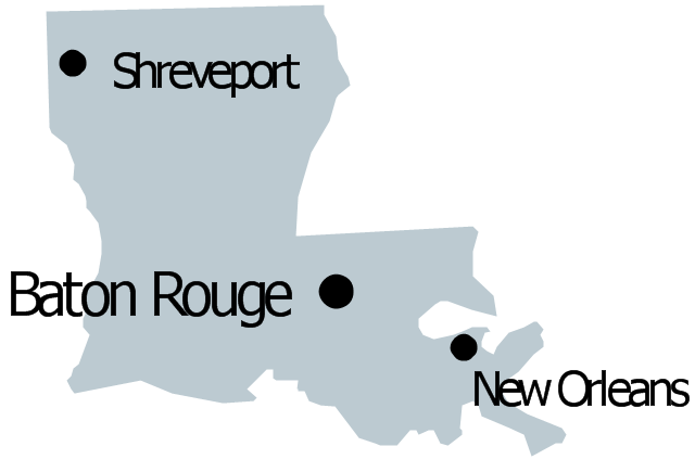
Louisiana

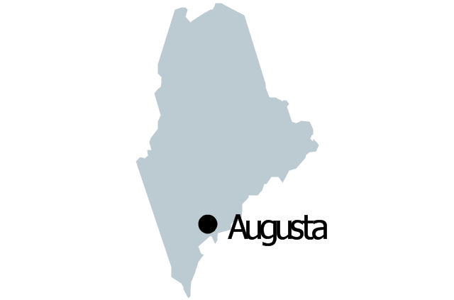
Maine

Maryland

Massachusetts

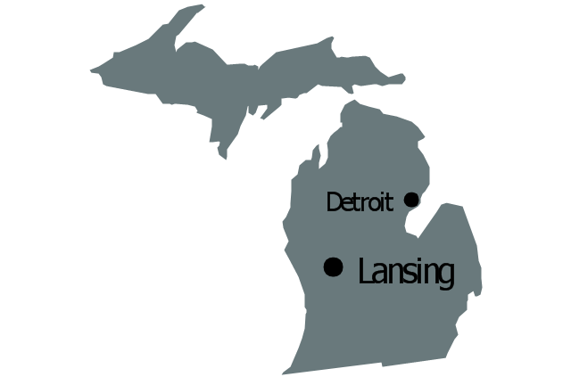
Michigan

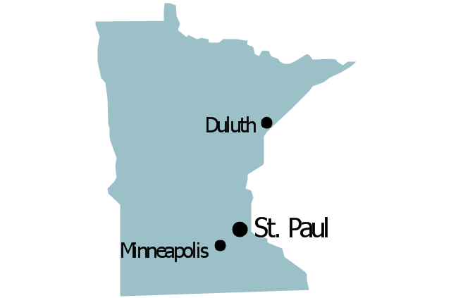
Minnesota

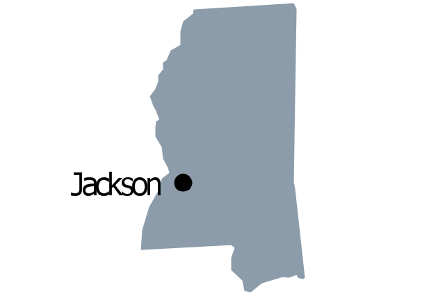
Mississippi

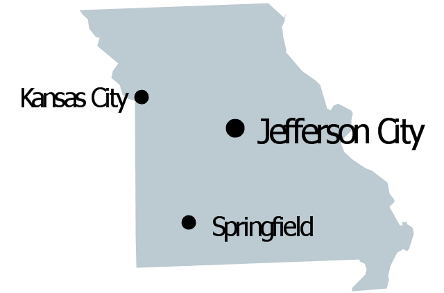
Missouri

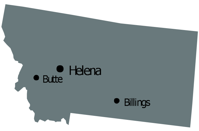
Montana

Nebraska

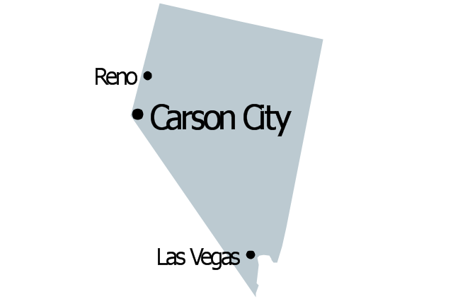
Nevada

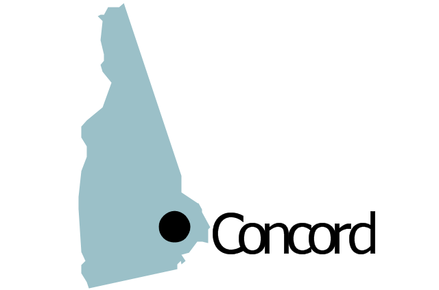
New Hampshire

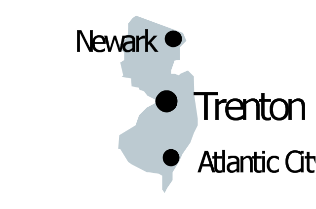
New Jersey

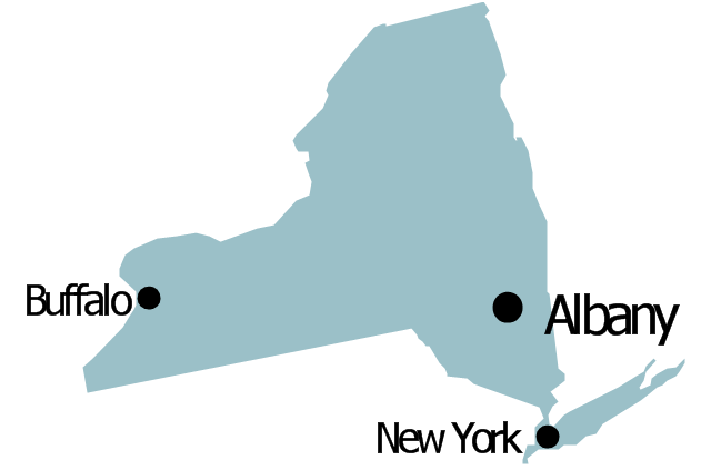
New York

New Mexico

North Dakota

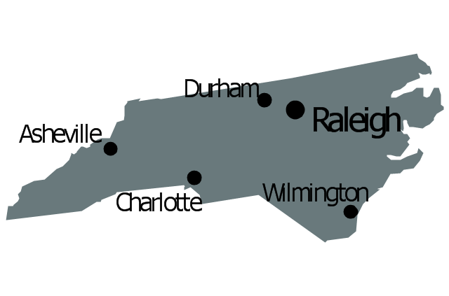
North Carolina

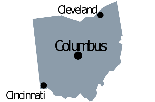
Ohio

Oklahoma

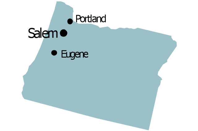
Oregon

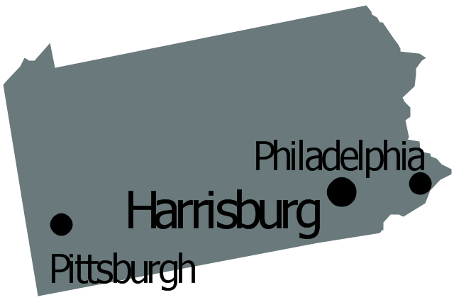
Pennsylvania

Rhode Island

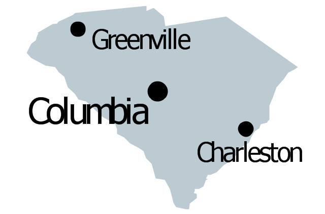
South Carolina

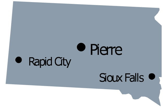
South Dakota

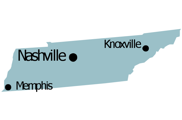
Tennessee

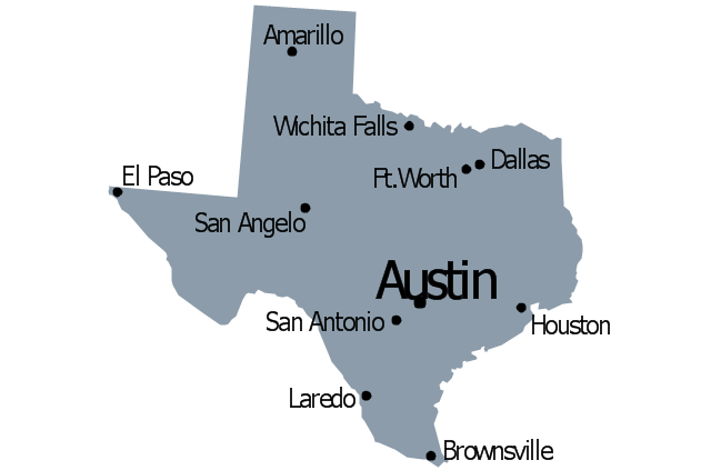
Texas

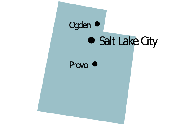
Utah

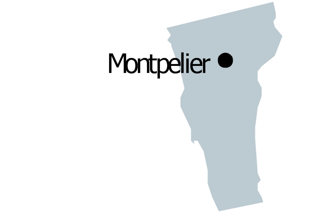
Vermont

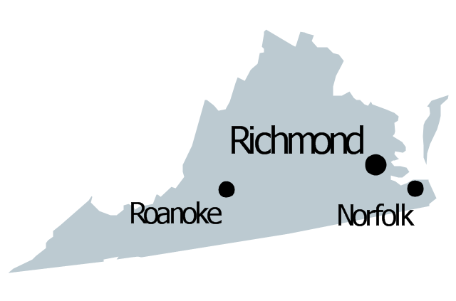
Virginia

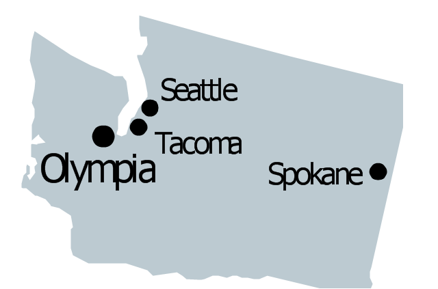
Washington

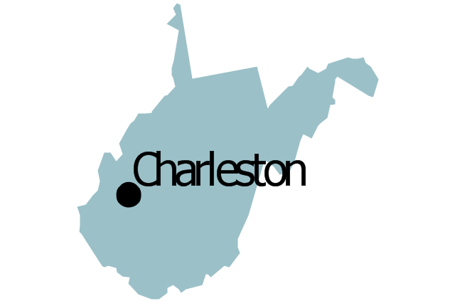
West Virginia

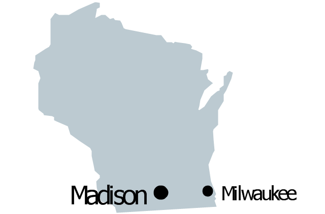
Wisconsin

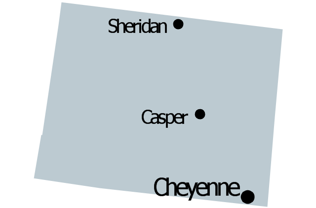
Wyoming

Great Lakes

Draw Company Structure with Organization Charting Software

Draw Company Structure Diagram - get the detailed information about the company structure and hierarchy - who execute what tasks and who is in charge at this company. This information shows the reasoning and success of business and is indispensable for investors and financial institutions.
Metro Map

The vector stencils library "North America" contains 70 contours for drawing thematic maps of North America in spatial infographics.
Use it for visual representation of geospatial information, statistics and quantitative data in the ConceptDraw PRO diagramming and vector drawing software extended with the Spatial Infographics solution from the area "What is Infographics" of ConceptDraw Solution Park.
Use it for visual representation of geospatial information, statistics and quantitative data in the ConceptDraw PRO diagramming and vector drawing software extended with the Spatial Infographics solution from the area "What is Infographics" of ConceptDraw Solution Park.
North America

Greenland (Denmark)
-north-america---vector-stencils-library.png--diagram-flowchart-example.png)
Canada

Canada (provinces and territories)
-north-america---vector-stencils-library.png--diagram-flowchart-example.png)
Alberta

British Columbia

Manitoba

New Brunswick

Newfoundland and Labrador

Northwest Territories

Nova Scotia

Nunavut

Ontario

Prince Edward Island

Quebec

Saskatchewan

Yukon

USA

US states

Alabama

Alaska

Arizona

Arkansas

California

Colorado

Connecticut

Delaware

Florida

Georgia

Hawaii

Idaho

Illinois

Indiana

Iowa

Kansas

Kentucky

Louisiana

Maine

Maryland

Massachusetts

Michigan

Minnesota

Mississippi

Missouri

Montana

Nebraska

Nevada

New Hampshire

New Jersey

New Mexico

New York

North Carolina

North Dakota

Ohio

Oklahoma

Oregon

Pennsylvania

Rhode Island

South Carolina

South Dakota

Tennessee

Texas

Utah

Vermont

Virginia

Washington

West Virginia

Wisconsin

Wyoming

Mexico

Subway infographic design elements - software tools

MTA Subway Map

The vector stencils library "Management map US" contains 51 state map contours of US.
Use it to create your management infogram in the ConceptDraw PRO diagramming and vector drawing software.
The state map contours example "Management map US - Vector stencils library" is included in the solution "Marketing infographics" from the "Business infographics" area of ConceptDraw Solution Park.
United States of America
Alabama
Alaska
Arizona
Arkansas

California
Colorado
Connecticut
Delaware
Florida
Georgia
Hawaii
Idaho
Illinois
Indiana

Iowa
Kansas

Kentucky
Louisiana
Maine
Maryland

Massachusetts

Michigan
Minnesota
Mississippi
Missouri
Montana
Nebraska

Nevada
New Hampshire
New Jersey
New Mexico

New York
North Dakota
North Carolina
Ohio
Oklahoma

Oregon
Pennsylvania
Rhode Island

South Carolina
South Dakota
Tennessee
Texas
Utah
Vermont
Virginia
Washington
West Virginia
Wisconsin
Wyoming
Geo Map - USA - Oregon

Geo Map - USA - Vermont

Map of USA States

How to draw Metro Map style infographics? (Moscow)
</i> *")
- New York City Subway map
- United States of America - Vector stencils library
- Organizational chart - New York State Education Department
- How to draw Metro Map style infographics? ( New York ) | Infographic ...
- How to draw Metro Map style infographics? ( New York ) | Map ...
- New York State In Map To Draw
- North America - Vector stencils library
- How to draw Metro Map style infographics? ( New York ) | How to ...
- Infographic software: the sample of New York City Subway map ...
- Metro Maps | How to draw Metro Map style infographics? ( New York ...
- Metro Maps | How to draw Metro Map style infographics? Moscow ...
- Hierarchical organization - Org chart | Organizational chart - New ...
- Management map US - Vector stencils library
- Ny State Vector Image
- How to draw Metro Map style infographics? ( New York ) | Subway ...
- How to draw Metro Map style infographics? Moscow, New York , Los ...
- Metro Map | How to draw Metro Map style infographics? ( New York ...
- How to draw Metro Map style infographics? Moscow, New York , Los ...
- Subway Map | How to draw Metro Map style infographics? Moscow ...