Visualization Spatial Data Using Thematic Maps Combined with Infographics
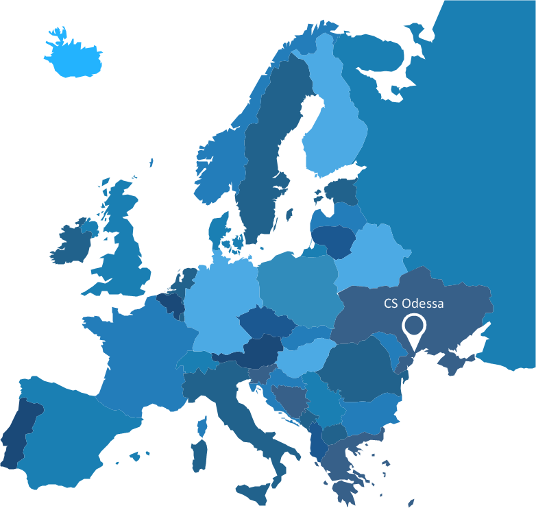
Now anyone can build an infographics from their data using ConceptDraw. Nice and simple, but the features it have are power-packed!Geo Map - Africa - Uganda
Uganda, officially the Republic of Uganda, is a landlocked country in East Africa. The vector stencils library Uganda contains contours for ConceptDraw PRO diagramming and vector drawing software. This library is contained in the Continent Maps solution from Maps area of ConceptDraw Solution Park.Excellent Examples of Infographic Maps
Create Spatial infographics with ConceptDraw using its excellent examples of infographic maps. We hope these can inspire and teach you!Vector Map of Germany
Vector map is the best way to visually present a world, continents, islands, to display location and boundaries of countries and cities. ConceptDraw PRO diagramming and vector drawing software offers the Germany Map Solution from the Maps Area of ConceptDraw Solution Park - the best tool for fast and easy drawing vector map of Germany of any degree of detailing, and thematic cartograms and maps of Germany on its base.Brilliant Examples of Infographics Map, Transport, Road
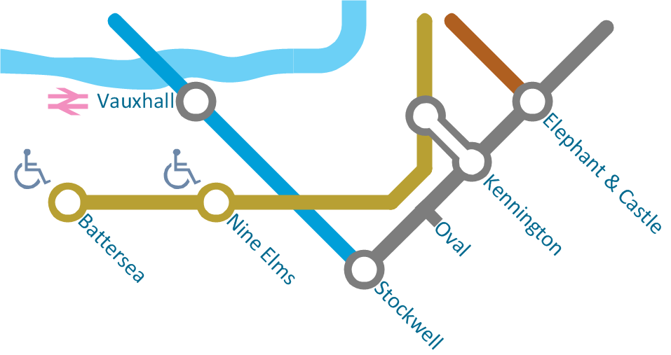
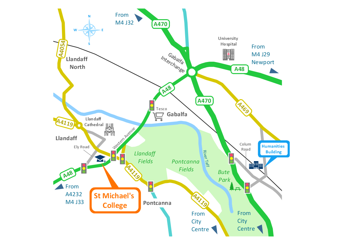
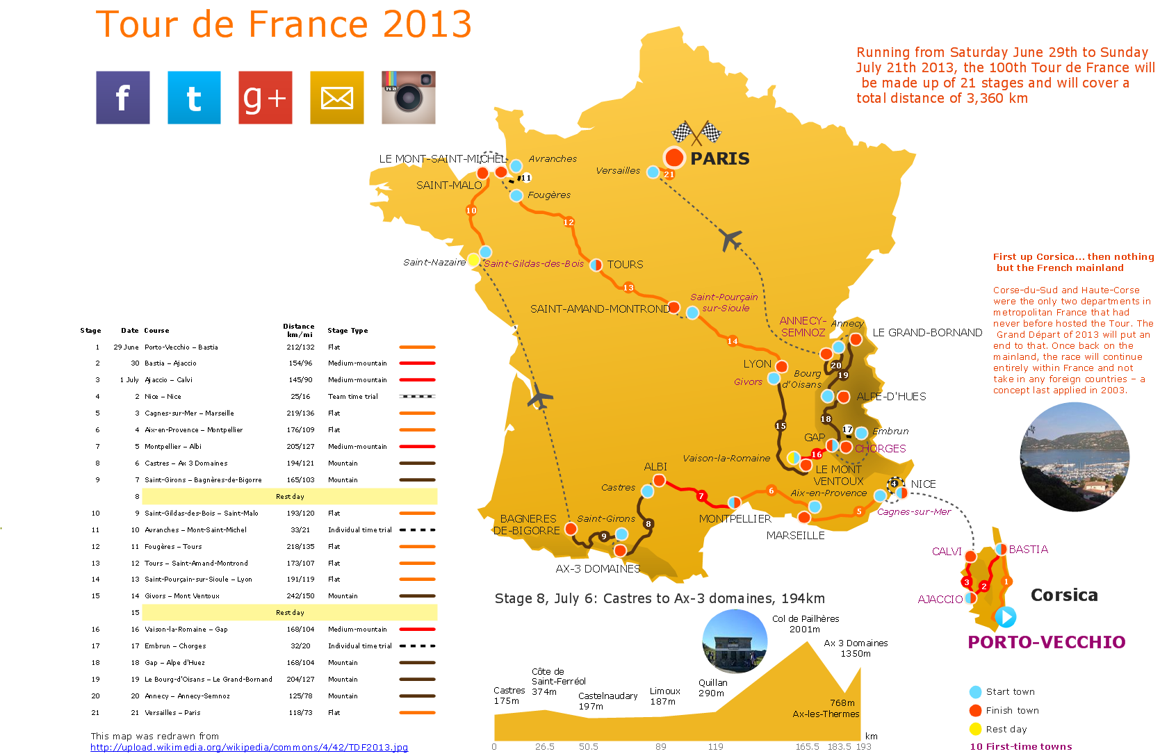
ConceptDraw PRO contains spatial infographics samples, map templates to be filled in, and libraries of vector stencils for main design elements of spatial infographics.USA Maps
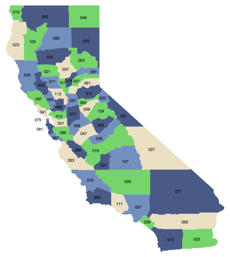
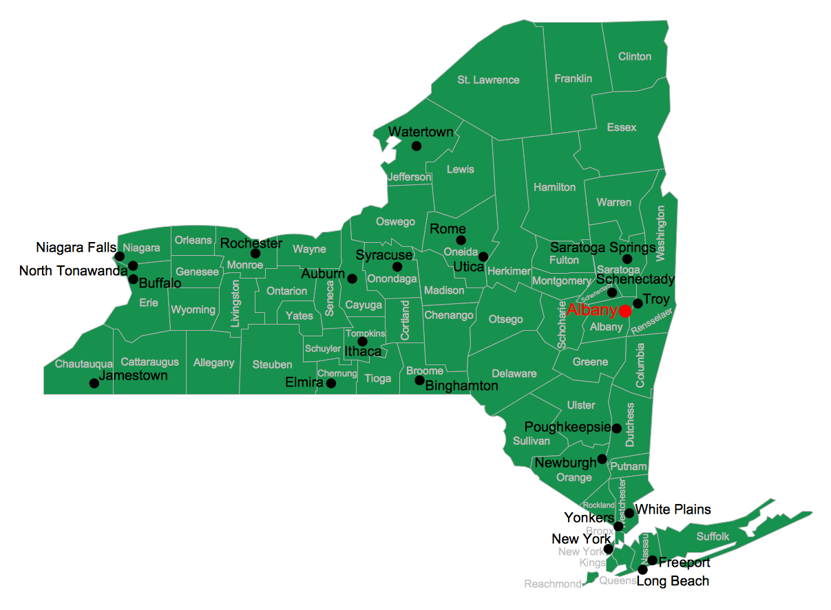
ConceptDraw PRO diagramming and vector drawing software enhanced with USA Maps Solution from the Maps Area of ConceptDraw Solution Park is the best for drawing various kinds of USA Maps, thematic maps of any detailing, pictorial map of USA states.Superb Examples of Infographic Maps
Great examples of Infographic Maps, they are needed for inspiration.Geo Mapping Software Examples - World Map Outline
An Example world map, showing a simple outline of world map. The world map is vector and can be edited or export to svg format.Map Australia
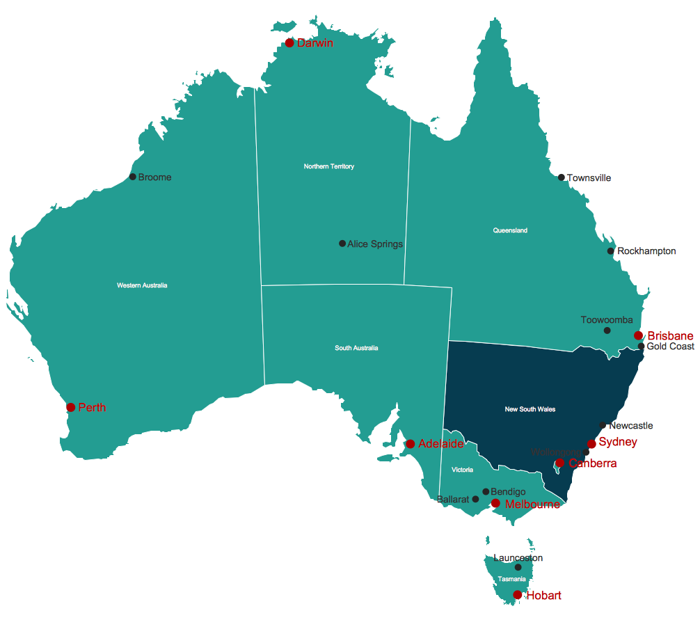
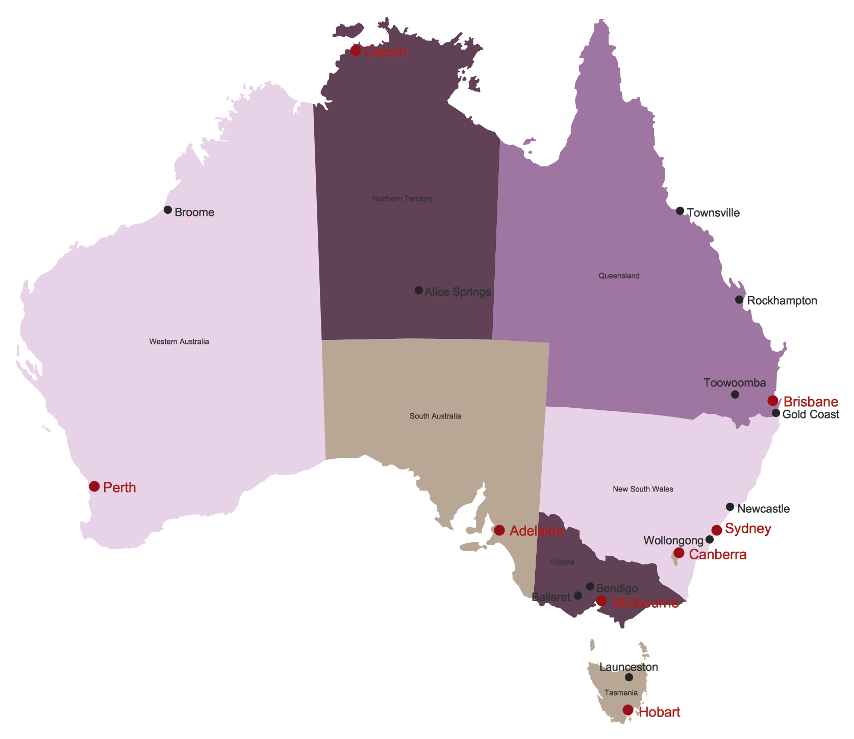
ConceptDraw PRO diagramming and vector drawing software offers the Australia Map Solution from the Maps Area of ConceptDraw Solution Park - the best tool for fast and easy drawing various types of Australia maps, maps of Australia states and islands, Map Australia with cities, thematic Australia maps and cartograms of any degree of detailing.World Continents Map
ConceptDraw PRO diagramming and vector drawing software enhanced with Continent Maps Solution from the Maps Area is the best for drawing geographic, topography, political, and many other kinds of maps for any of seven earth continents and also world continents map of any detailing.USA Map
Usually designing of maps, including the USA Map is a quite complex, long and labour-intensive process. But now we have an excellent possibility to make it easier with ConceptDraw PRO diagramming and vector drawing software extended with powerful USA Maps Solution from the Maps Area of ConceptDraw Solution Park.Australia Map
Maps surround us everywhere in our life, study, work, traveling, they are widely used in geography, history, politics, economics, and many other fields of science and life activity. But designing of maps is usually complex and labor-intensive process. Now we have the possibility to make easier this process - ConceptDraw PRO diagramming and vector drawing software extended with Australia Map Solution from the Maps Area of ConceptDraw Solution Park will help us in easy drawing detailed Australia map.Continents and Oceans Map
You need design a continent map, world continents map, continents and oceans map, or any other type of continent maps? Now, it's very easy thanks to the ConceptDraw PRO diagramming and vector drawing software supplied with Continent Maps Solution from the Maps Area of ConceptDraw Solution Park.Spatial infographics Design Elements: Continental Map
ConceptDraw PRO is a software for making infographics illustrations. You can work with various components to build really impressive and easy-to-understand infographics design.7 Continents Map
A continent is a large area of land washed by the seas. There are 7 continents on the Earth: Asia, Africa, North America, South America, Antarctica, Europe, and Australia. If you want create the 7 Continents Map, we offer you incredibly useful tool for this - ConceptDraw PRO diagramming and vector drawing software extended with Continent Maps Solution from the Maps Area of ConceptDraw Solution Park.- Visualization Spatial Data Using Thematic Maps Combined with ...
- Examples Of Thematic Maps In Uganda
- Geo Map - South America Continent | Geo Map - United States of ...
- South Asia - Political map | Thematic maps - Vector stencils library ...
- Languages of South America - Thematic map | North America map ...
- Presentation Drawings In Architecture Pdf
- North America Thematic Map
- Excellent Examples of Infographic Maps | Subway Map | How to ...
- Geo Mapping Software Examples - World Map Outline | Map ...
- Continent Map
- How to Draw a Map of North America Using ConceptDraw PRO ...
- Ghana Map Pdf
- Maps Of The Continents
- How to Draw a Map of North America Using ConceptDraw PRO ...
- Languages of South America - Thematic map | Geo Map - South ...
- Languages of South America - Thematic map | Geo Map - South ...
- Languages of South America - Thematic map | Geo Map - United ...
- Languages of South America - Thematic map | Geo Map - South ...
- France exports of goods and services | Food security assessment ...
- Geography Illustrations Download Pdf
