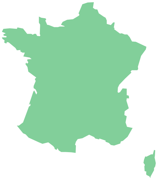
Geo Map - Europe - France
The vector stencils library France contains contours for ConceptDraw PRO diagramming and vector drawing software. This library is contained in the Continent Maps solution from Maps area of ConceptDraw Solution Park.Geo Map - South America - French Guiana
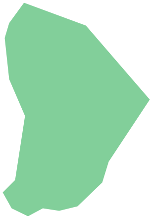
French Guiana, officially just Guiana, is an overseas department and region of France on the north Atlantic coast of South America.The vector stencils library French Guiana contains contours for ConceptDraw PRO diagramming and vector drawing software. This library is contained in the Continent Maps solution from Maps area of ConceptDraw Solution Park.
Geo Map - South America - Haiti
Haiti, officially the Republic of Haiti, is a Caribbean country.The vector stencils library Haiti contains contours for ConceptDraw PRO diagramming and vector drawing software. This library is contained in the Continent Maps solution from Maps area of ConceptDraw Solution Park.
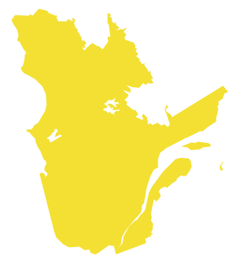
Geo Map - Canada - Quebec
Quebec is a province in east-central Canada.The vector stencils library Quebec contains contours for ConceptDraw PRO diagramming and vector drawing software. This library is contained in the Continent Maps solution from Maps area of ConceptDraw Solution Park.
Geo Map - South America Continent
South America includes 12 sovereign states.ConceptDraw PRO is idea to draw the geological maps of South America continent from the pre-designed vector geo map shapes.
Use Continent Maps solution from the Maps area of ConceptDraw Solution Park to draw thematic maps, geospatial infographics and vector illustrations for your business documents, presentations and websites.
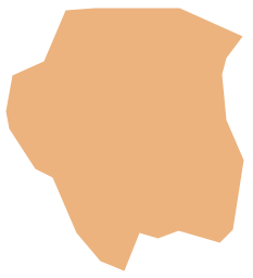
Geo Map - South America - Suriname
Suriname, officially known as the Republic of Suriname, is a country on the northeastern Atlantic coast of South America.The vector stencils library Suriname contains contours for ConceptDraw PRO diagramming and vector drawing software. This library is contained in the Continent Maps solution from Maps area of ConceptDraw Solution Park.
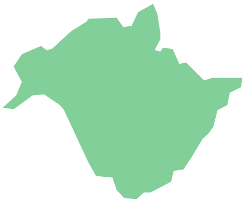
Geo Map - Canada - New Brunswick
New Brunswick is one of Canada's three Maritime provinces and is the only province in the Canadian federation that is constitutionally bilingual (English–French).The vector stencils library New Brunswick contains contours for ConceptDraw PRO diagramming and vector drawing software. This library is contained in the Continent Maps solution from Maps area of ConceptDraw Solution Park.
Geo Map - Africa - Cameroon
Cameroon, officially the Republic of Cameroon, is a country in the west Central Africa region.The vector stencils library Cameroon contains contours for ConceptDraw PRO diagramming and vector drawing software. This library is contained in the Continent Maps solution from Maps area of ConceptDraw Solution Park.
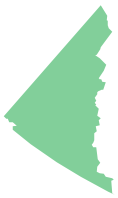
Geo Map - Canada - Yukon
Yukon is the westernmost and smallest of Canada's three federal territories. Whitehorse is the territorial capital.The vector stencils library Yukon contains contours for ConceptDraw PRO diagramming and vector drawing software. This library is contained in the Continent Maps solution from Maps area of ConceptDraw Solution Park.
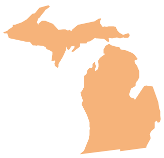
Geo Map - USA - Michigan
Michigan is a state in the Great Lakes region of the Midwestern United States.The vector stencils library Michigan contains contours for ConceptDraw PRO diagramming and vector drawing software. This library is contained in the Continent Maps solution from Maps area of ConceptDraw Solution Park.
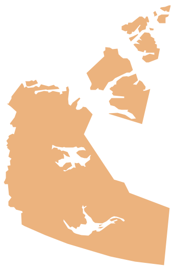
Geo Map - Canada - Northwest Territories
The Northwest Territories (NWT; French: les Territoires du Nord-Ouest, TNO) is one of three federal territories of Canada.The vector stencils library Northwest Territories contains contours for ConceptDraw PRO diagramming and vector drawing software. This library is contained in the Continent Maps solution from Maps area of ConceptDraw Solution Park.
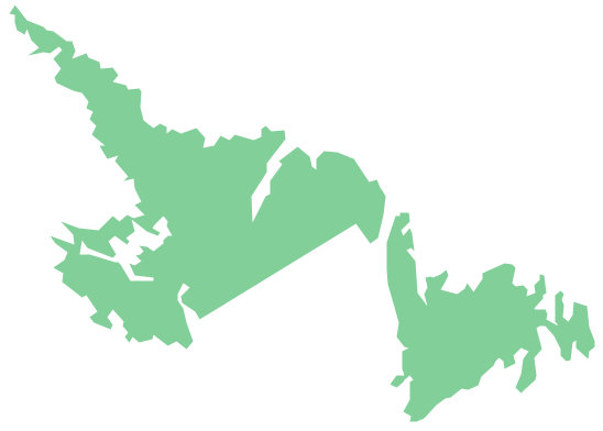
Geo Map - Canada - Newfoundland and Labrador
Newfoundland and Labrador is the easternmost province of Canada.The vector stencils library Newfoundland and Labrador contains contours for ConceptDraw PRO diagramming and vector drawing software. This library is contained in the Continent Maps solution from Maps area of ConceptDraw Solution Park.
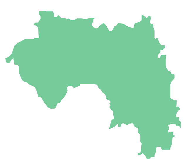
Geo Map - Africa - Guinea
Guinea, officially the Republic of Guinea, is a country in West Africa.The vector stencils library Guinea contains contours for ConceptDraw PRO diagramming and vector drawing software. This library is contained in the Continent Maps solution from Maps area of ConceptDraw Solution Park
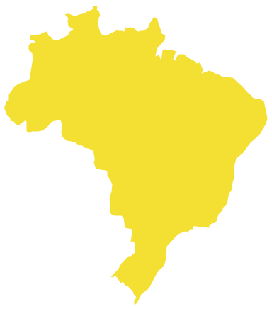
Geo Map - South America - Brazil
Brazi, officially the Federative Republic of Brazil, is the largest country in both South America and the Latin American region.The vector stencils library Brazil contains contours for ConceptDraw PRO diagramming and vector drawing software. This library is contained in the Continent Maps solution from Maps area of ConceptDraw Solution Park.
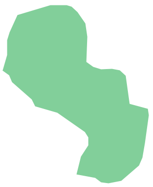
Geo Map - South America - Paraguay
Paraguay, officially the Republic of Paraguay, is a landlocked country in South America, bordered by Argentina to the south and southwest, Brazil to the east and northeast, and Bolivia to the northwest.The vector stencils library Paraguay contains contours for ConceptDraw PRO diagramming and vector drawing software. This library is contained in the Continent Maps solution from Maps area of ConceptDraw Solution Park.
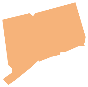
Geo Map - USA - Connecticut
Connecticut is the southernmost state in the northeastern region of the United States known as New England.The vector stencils library Connecticut contains contours for ConceptDraw PRO diagramming and vector drawing software. This library is contained in the Continent Maps solution from Maps area of ConceptDraw Solution Park.
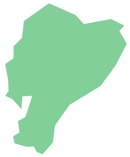
Geo Map - South America - Ecuador
Ecuador, officially the Republic of Ecuador, which literally translates as "Republic of the Equator") is a representative democratic republic in South America, bordered by Colombia on the north, Peru on the east and south, and the Pacific Ocean to the west.The vector stencils library Ecuador contains contours for ConceptDraw PRO diagramming and vector drawing software. This library is contained in the Continent Maps solution from Maps area of ConceptDraw Solution Park.
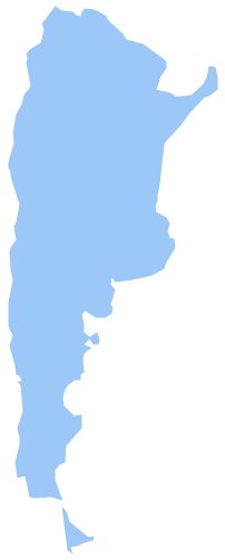
Geo Map - South America - Argentina
Argentina, officially the Argentine Republic, is a federal republic located in southeastern South America.The vector stencils library Argentina contains contours for ConceptDraw PRO diagramming and vector drawing software. This library is contained in the Continent Maps solution from Maps area of ConceptDraw Solution Park.
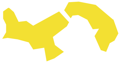
Geo Map - South America - Panama
Panama, officially Republic of Panama, is the southernmost country of Central America and the whole of North America.The vector stencils library Panama contains contours for ConceptDraw PRO diagramming and vector drawing software. This library is contained in the Continent Maps solution from Maps area of ConceptDraw Solution Park.
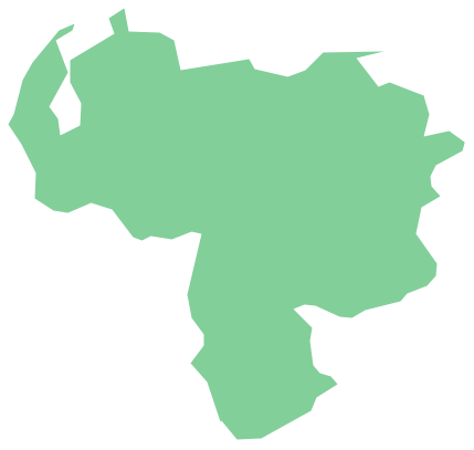
Geo Map - South America - Venezuela
Venezuela, officially called the Bolivarian Republic of Venezuela, is a country on the northern coast of South America.The vector stencils library Venezuela contains contours for ConceptDraw PRO diagramming and vector drawing software. This library is contained in the Continent Maps solution from Maps area of ConceptDraw Solution Park.
- Geo Map - Europe - France | Geo Map - South America - French ...
- Geo Map - Europe - France | Geo Map - South America - French ...
- Geo Map - Europe - Conceptdraw.com
- Geo Map - Europe - France - Conceptdraw.com
- Geo Map - Europe - Conceptdraw.com
- Geo Map - Europe - Italy - Conceptdraw.com
- Geo Map - South America - Suriname
- Design elements - Thematic maps | Australia map template | Europe ...
- North America map template | Geo Map - America | Maps |
- Geo Map - South America
- Geo Map
- East Africa countries map | EU 28: Candidate countries map ...
- Continent Maps | Spatial infographics Design Elements: Location ...
- Geo Map - Canada
- Geo Map Software | East Africa countries map | West Africa countries ...
- Currency - Vector stencils library | Design elements - Currency and ...
- Line graph - France exports of goods and services | How to Create a ...
- Geo Map - Canada
- Geo Map - Canada - Ontario | Geo Map - USA - Pennsylvania | Geo ...
- Continent Maps | Spatial infographics Design Elements: Location ...
