 Australia Map
For graphic artists creating accurate maps of Australia. The Australia Map solution - allows designers to map Australia for their needs, offers a collection of scalable graphics representing the political geography of Australia, split into distinct state
Geo Map - Australia

Geo Map — Australia — New Zealand

HelpDesk
How to Draw Maps of Australia

Geo Map - Australia - Victoria

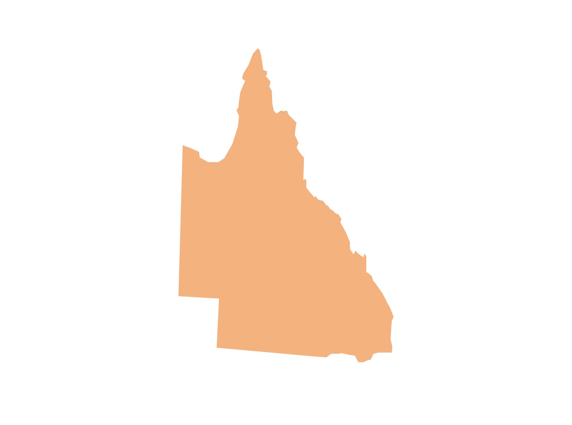
Geo Map - Australia - Queensland
Geo Map - Australia - Tasmania

Australia Map — Victoria
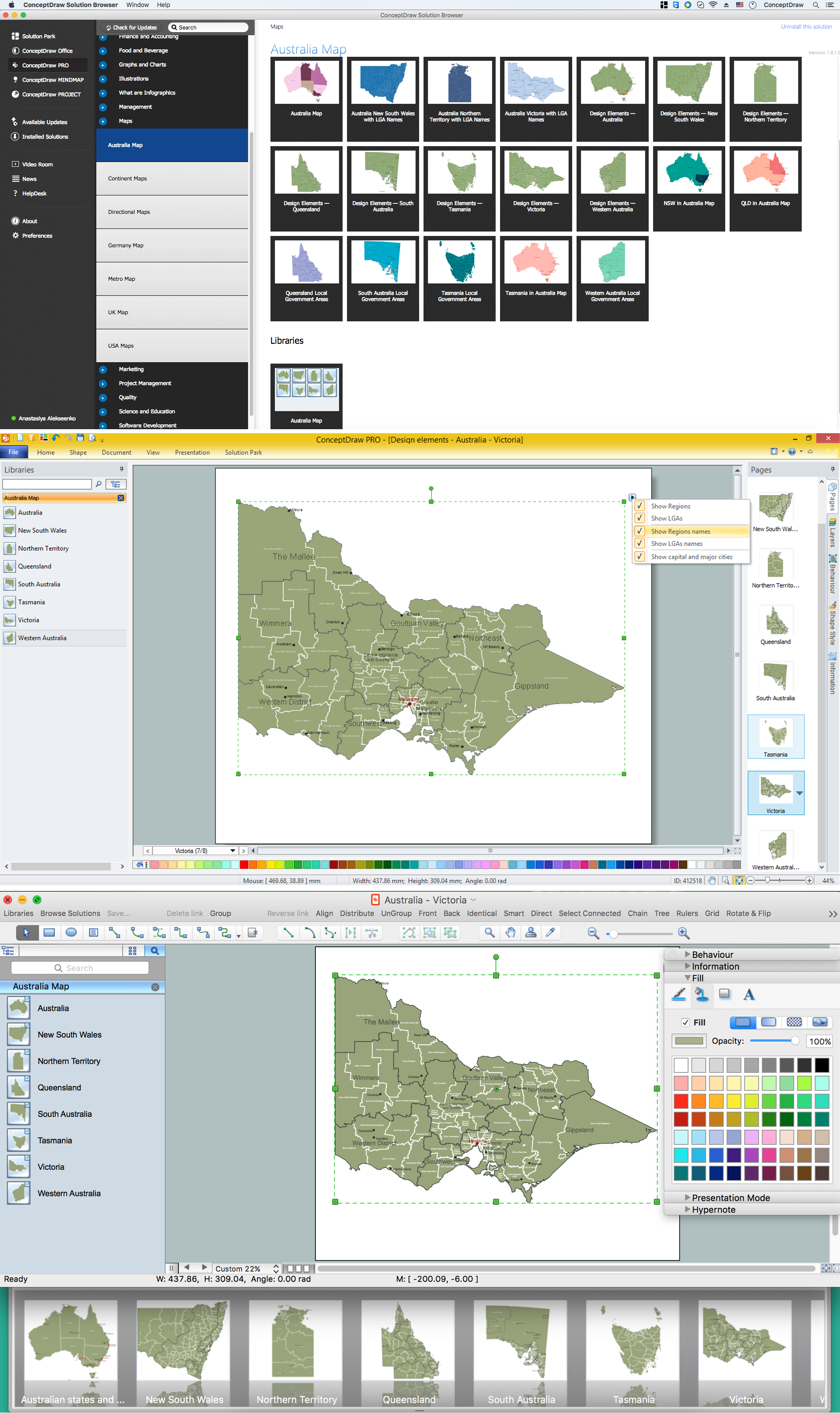
Maps surround us everywhere in our life, study, work, traveling, they are widely used in geography, history, politics, economics, and many other fields of science and life activity. But designing of maps is usually complex and labor-intensive process. Now we have the possibility to make easier this process - ConceptDraw DIAGRAM diagramming and vector drawing software extended with Australia Map Solution from the Maps Area of ConceptDraw Solution Park will help us in easy drawing detailed Australia map.
Geo Map - Australia - South Australia

Geo Map - Australia - Nothern Territory

- Australia Map | How to Draw Maps of Australia Using ConceptDraw ...
- Geo Map - Australia
- CS Odessa Releases a Paid Australia Map Solution
- Outline Map Of Australia And New Zealand
- Network Layout Floor Plans | How to Draw Maps of Australia Using ...
- Map Of Australia And Newzealand
- Geo Map - Australia | Continent Maps | Design elements - Australia ...
- Australia map with cities - Template | Australia map - Template ...
- Geo Map - Australia - New Zealand
- Map Australia | Geo Map - Asia - Israel | Competitor Analysis | Name ...
- ERD | Entity Relationship Diagrams, ERD Software for Mac and Win
- Flowchart | Basic Flowchart Symbols and Meaning
- Flowchart | Flowchart Design - Symbols, Shapes, Stencils and Icons
- Flowchart | Flow Chart Symbols
- Electrical | Electrical Drawing - Wiring and Circuits Schematics
- Flowchart | Common Flowchart Symbols
- Flowchart | Common Flowchart Symbols