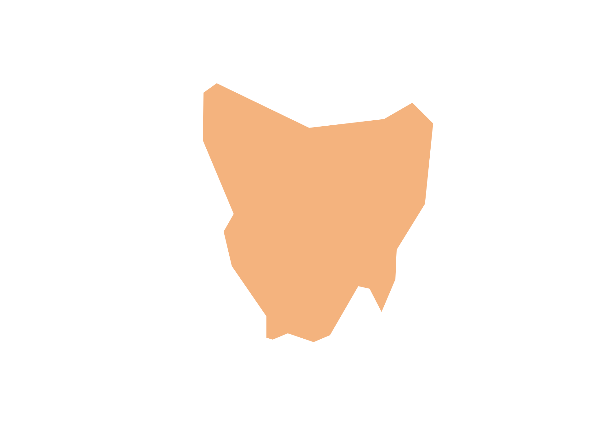
Geo Map - Australia - Tasmania
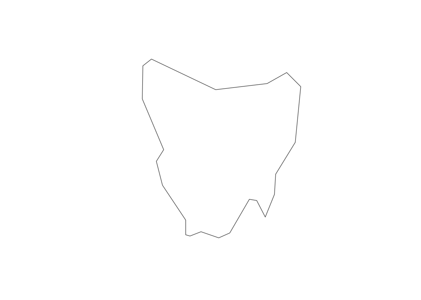
Australia map contours - Tasmania
"Tasmania (abbreviated as Tas and known colloquially as "Tassie") is an island state, part of the Commonwealth of Australia, located 240 kilometres (150 mi) to the south of the Australian continent, separated by Bass Strait. The state includes the island of Tasmania, the 26th largest island in the world, and the surrounding 334 islands." [Tasmania. Wikipedia]
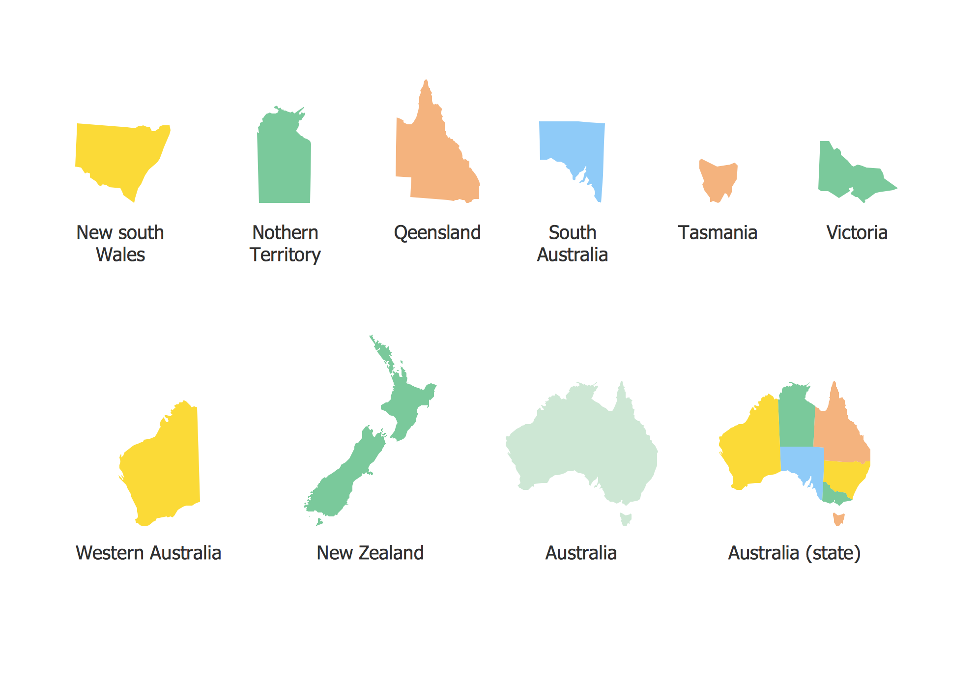
The vector stencils library Australia contains contours of the Australian states and mainland territories for ConceptDraw DIAGRAM diagramming and vector drawing software. This library is contained in the Continent Maps solution from Maps area of ConceptDraw Solution Park.

Use the Australia library to draw thematic maps, geospatial infographics and vector illustrations for your business documents, presentations and websites.
Geo Map - Australia - Tasmania
Geo Map - Australia - Tasmania Contour
Geo Map - Australia and New Zealand

Geo Map - Australia and New Zealand Contour
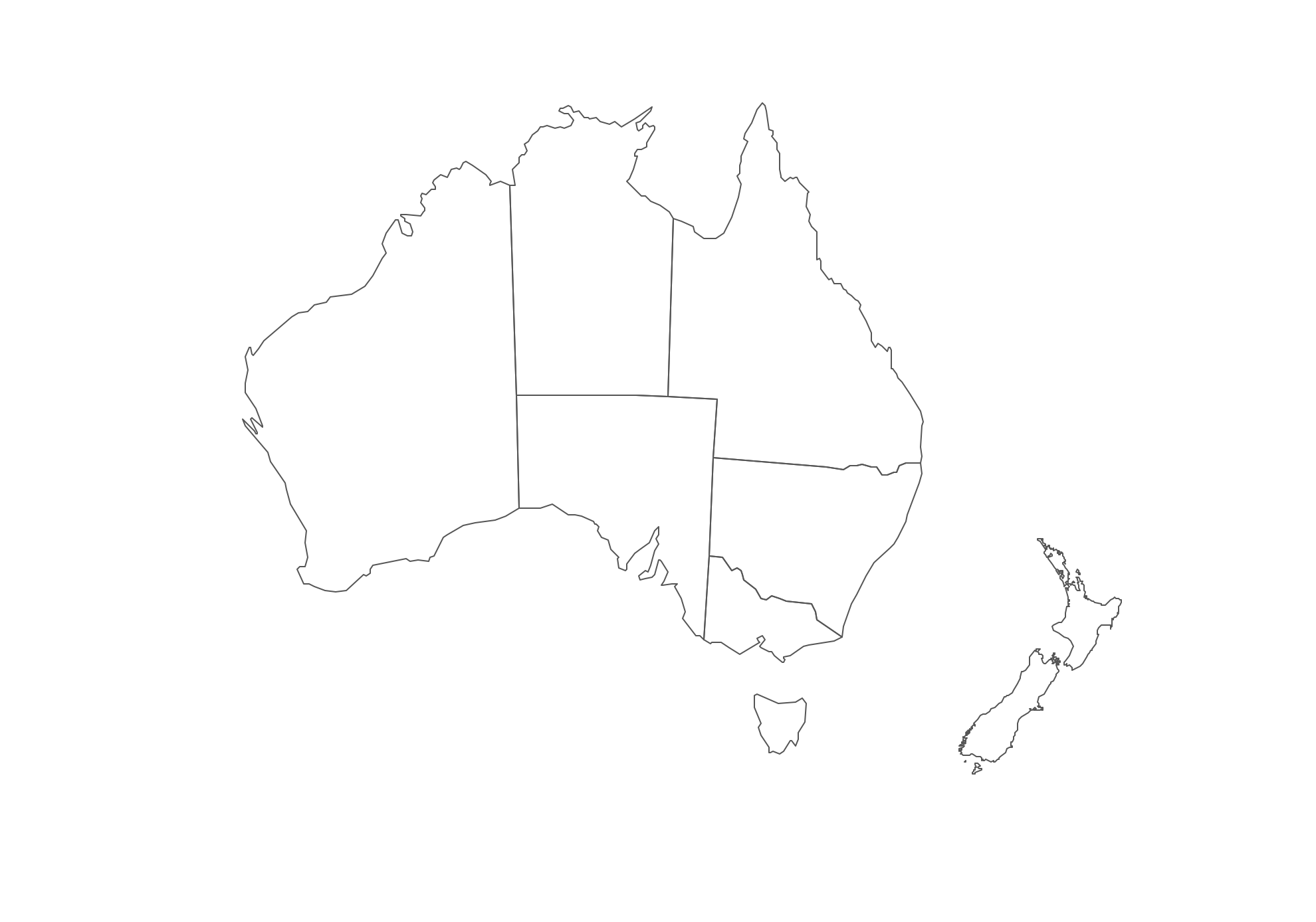
Geo Map - contours of Australian states and mainland territories and New Zealand
THREE RELATED HOW TO's:
Queensland (abbreviated as QLD) is the second-largest and third-most populous state in Australia.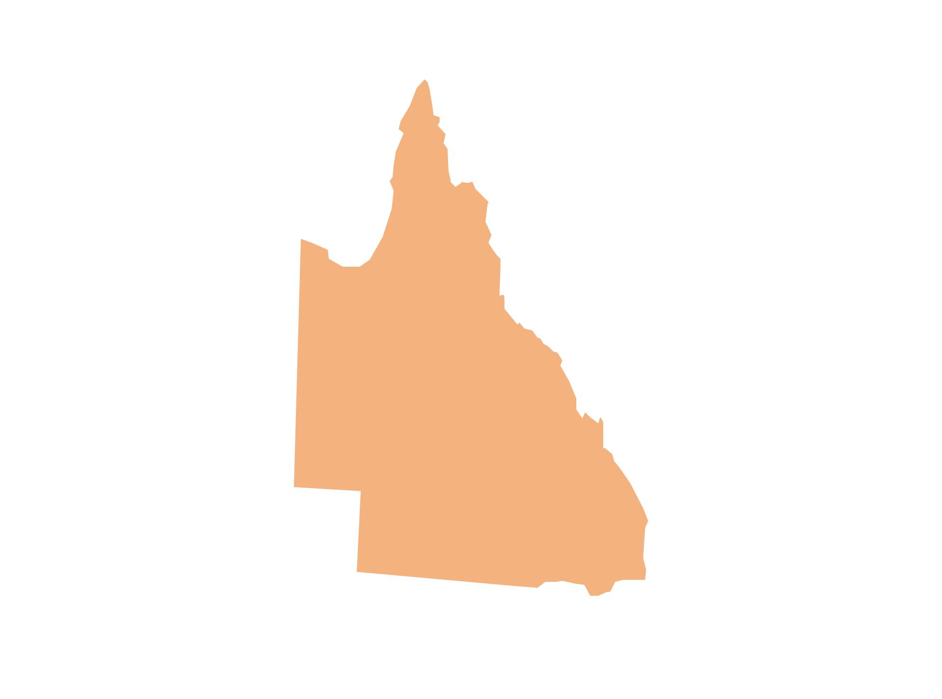
Picture: Geo Map - Australia - Queensland
Related Solution:
Puerto Rico, officially the Commonwealth of Puerto Rico, is an unincorporated territory of the United States, located in the northeastern Caribbean east of the Dominican Republic and west of both the United States Virgin Islands and the British Virgin Islands.
The vector stencils library Puerto Rico contains contours for ConceptDraw DIAGRAM diagramming and vector drawing software. This library is contained in the Continent Maps solution from Maps area of ConceptDraw Solution Park.
Picture: Geo Map - South America - Puerto Rico
Related Solution:
Victoria (abbreviated as Vic) is a state in the south-east of Australia. Victoria is Australia's most densely populated state and its second-most populous state overall.
Maps surround us everywhere in our life, study, work, traveling, they are widely used in geography, history, politics, economics, and many other fields of science and life activity. But designing of maps is usually complex and labor-intensive process. Now we have the possibility to make easier this process - ConceptDraw DIAGRAM diagramming and vector drawing software extended with Australia Map Solution from the Maps Area of ConceptDraw Solution Park will help us in easy drawing detailed Australia map.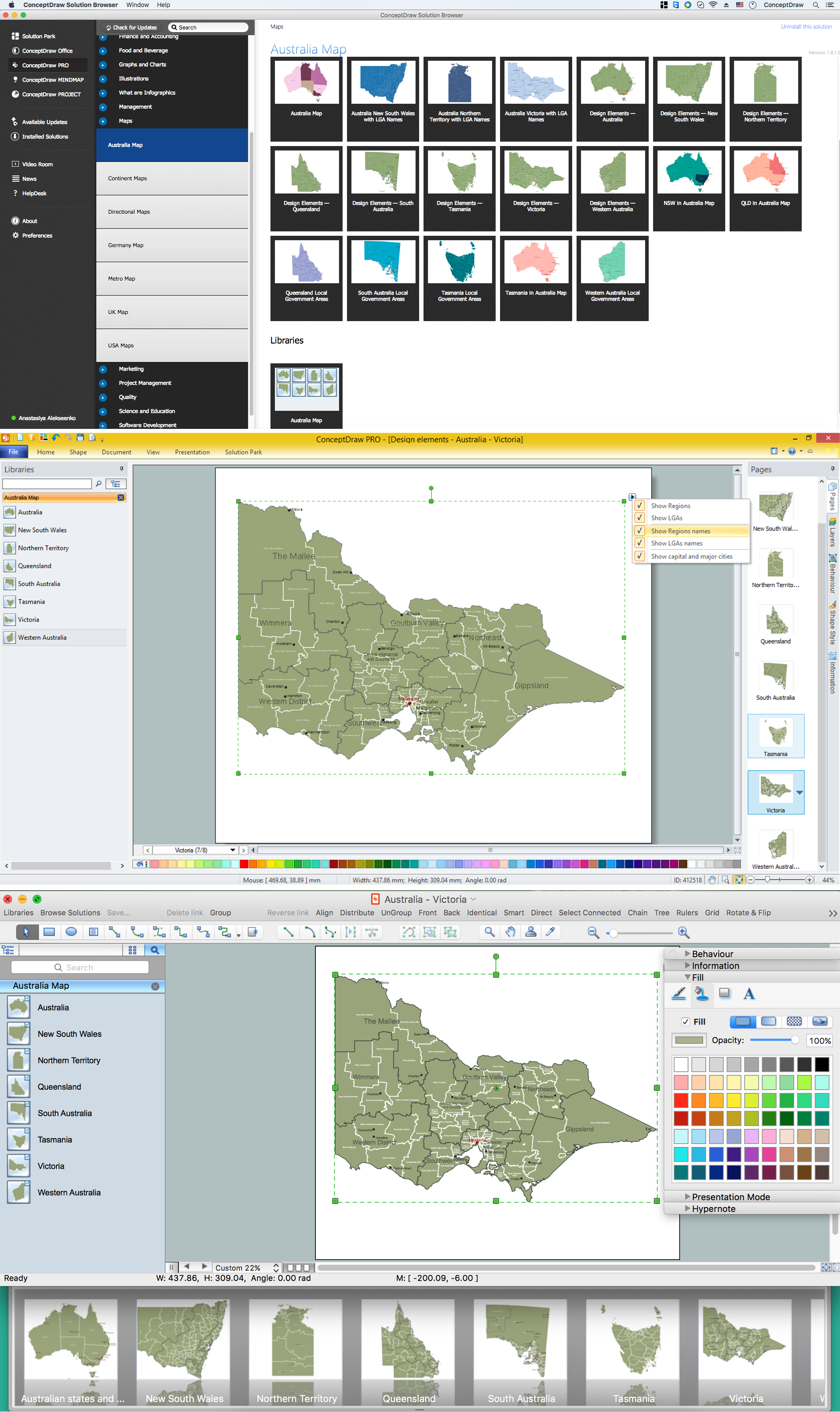
Picture: Australia Map — Victoria
Related Solution:


