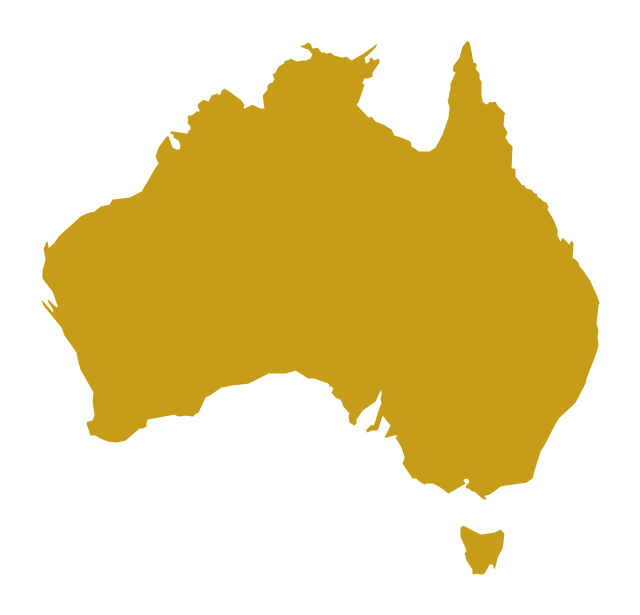
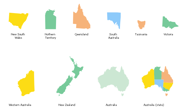
The vector stencils library "Australia and New Zealand" contains 10 contours for drawing thematic maps of Australia and New Zealand.
Use it in your spatial infographics for visual representation of geospatial information, statistics and quantitative data in the ConceptDraw PRO diagramming and vector drawing software extended with the Spatial Infographics solution from the area "What is Infographics" of ConceptDraw Solution Park.
Use it in your spatial infographics for visual representation of geospatial information, statistics and quantitative data in the ConceptDraw PRO diagramming and vector drawing software extended with the Spatial Infographics solution from the area "What is Infographics" of ConceptDraw Solution Park.
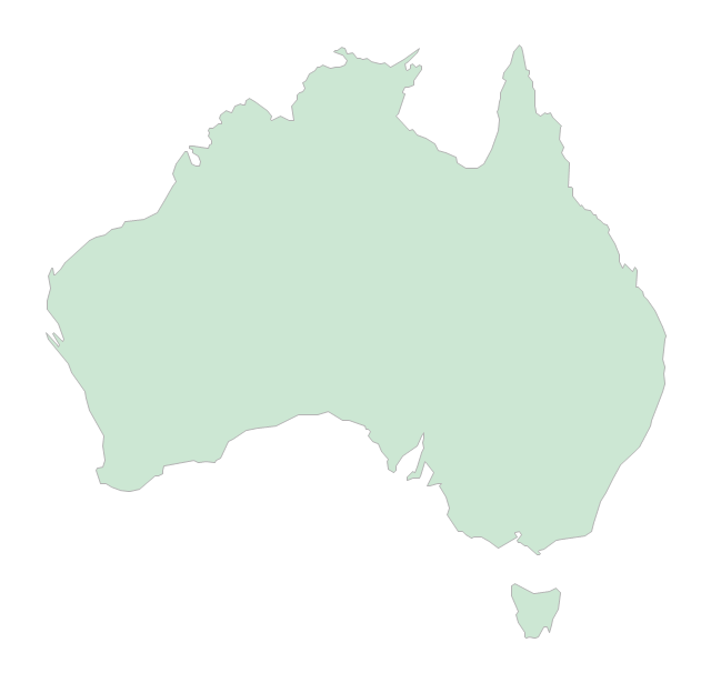
Australia
Australia (states)
-australia-and-new-zealand---vector-stencils-library.png--diagram-flowchart-example.png)
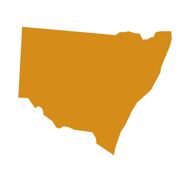
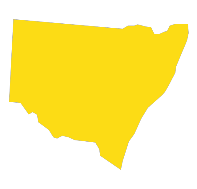
New South Wales
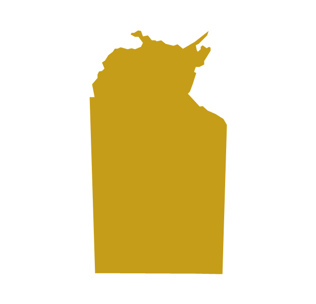
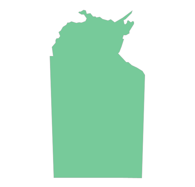
Northern Territory
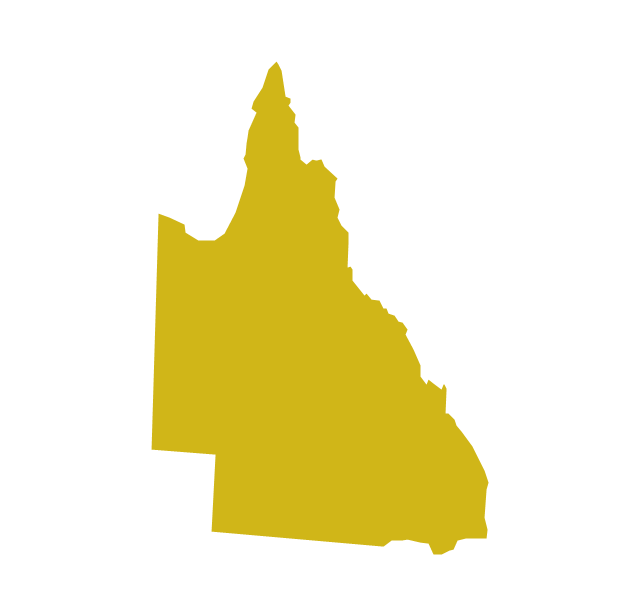
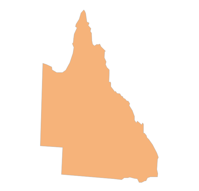
Queensland
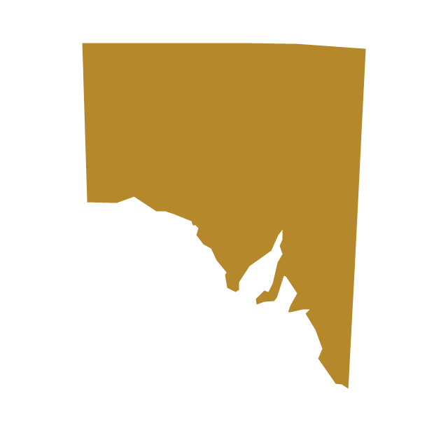
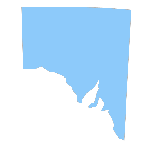
South Australia
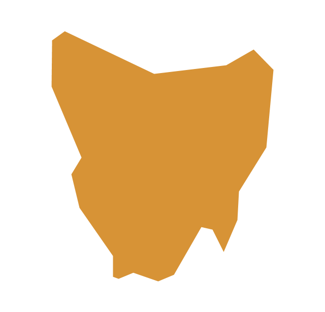
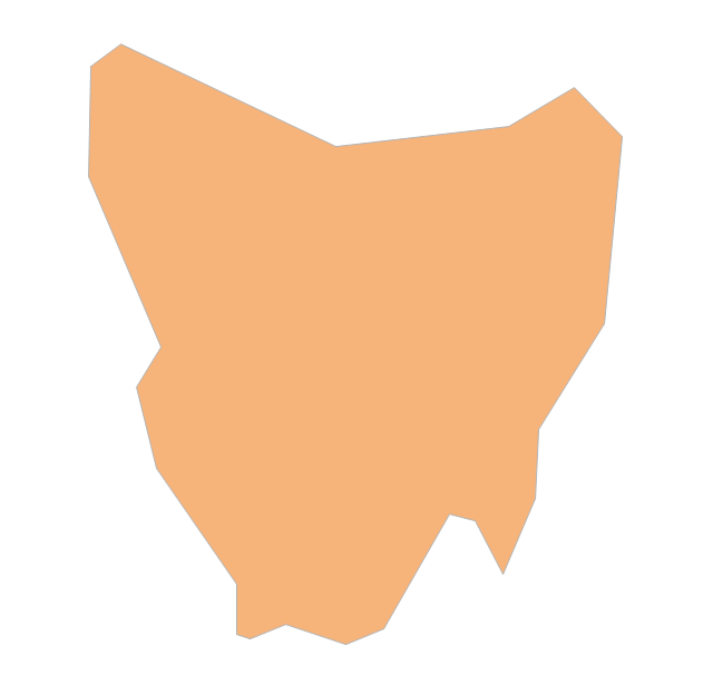
Tasmania
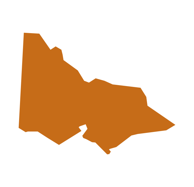
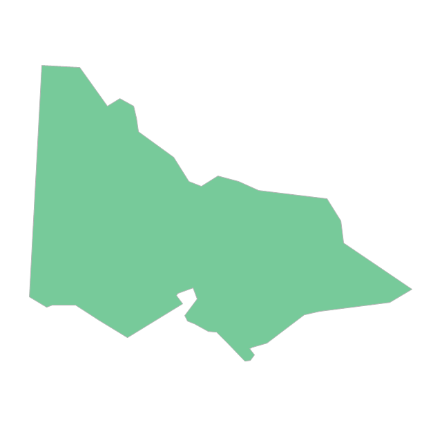
Victoria
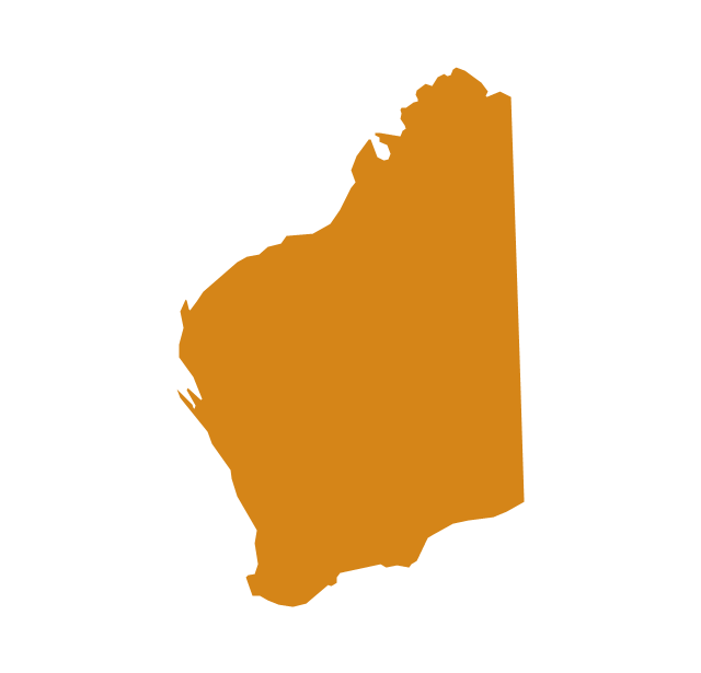
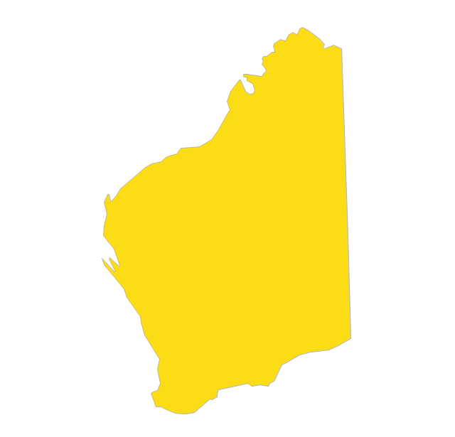
Western Australia
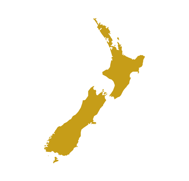
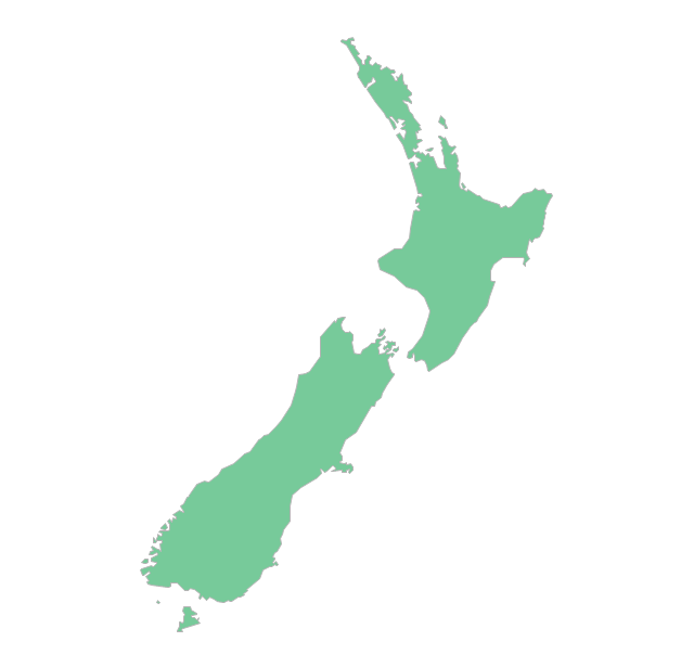
New Zealand
The vector stencils library "Australia" contains 10 Australian states and territories, and New Zealand map contours for drawing thematic maps of Australia and New Zealand. Use it for visual representation of geospatial information, statistics and quantitative data.
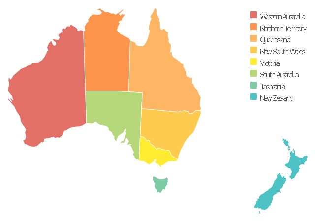
"Australia has six states - New South Wales (NSW), Queensland (QLD), South Australia (SA), Tasmania (TAS), Victoria (VIC) and Western Australia (WA) - and two major mainland territories - the Australian Capital Territory (ACT) and the Northern Territory (NT)." [Australia. Wikipedia]
The map contours example "Australia and New Zealand - Vector stencils library" was created using the ConceptDraw PRO diagramming and vector drawing software extended with the Continent Maps solution from the Maps area of ConceptDraw Solution Park.
Australia
Australia (state)
-australia-and-new-zealand---vector-stencils-library.png--diagram-flowchart-example.png)
New South Wales
Northern Territory
Queensland
South Australia
Tasmania
Victoria
Western Australia
New Zealand
Geo Map - Australia - New Zealand

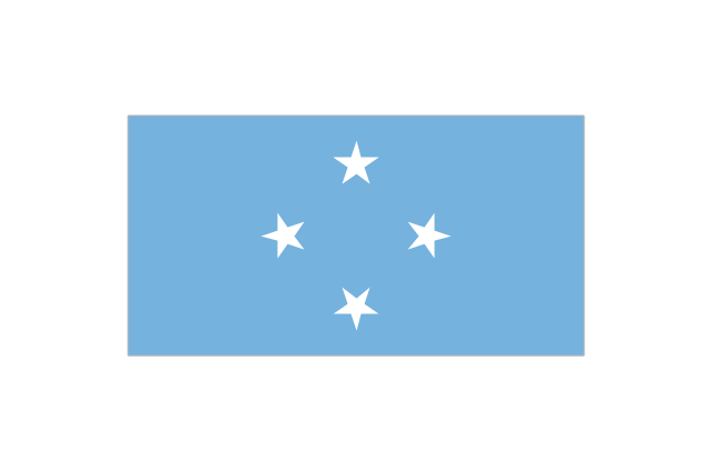
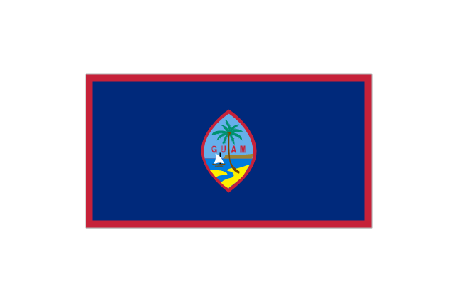
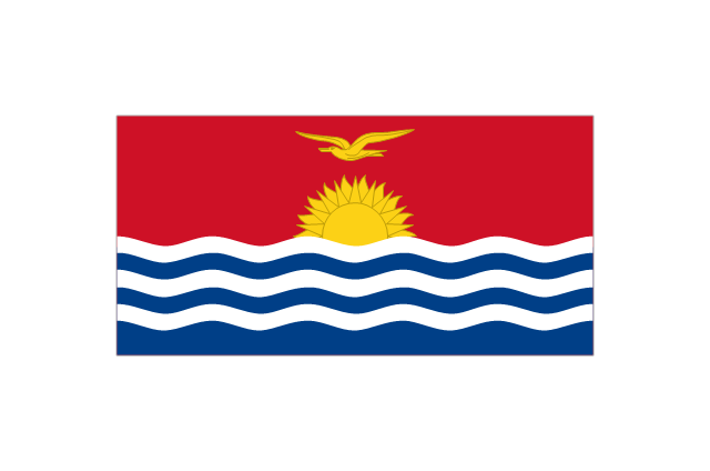
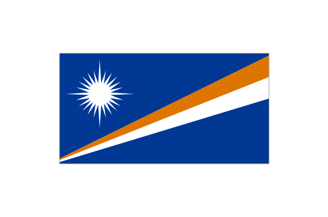
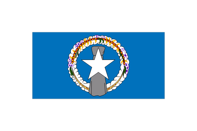
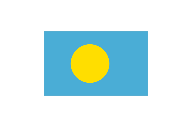
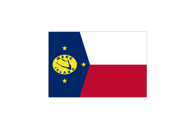
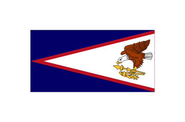
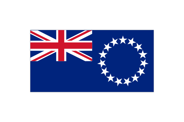
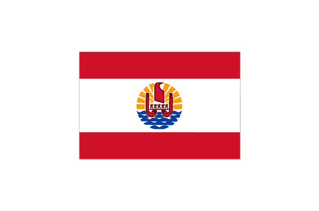
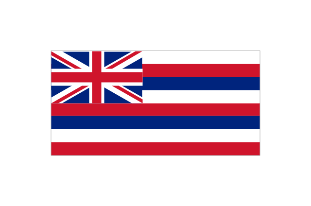
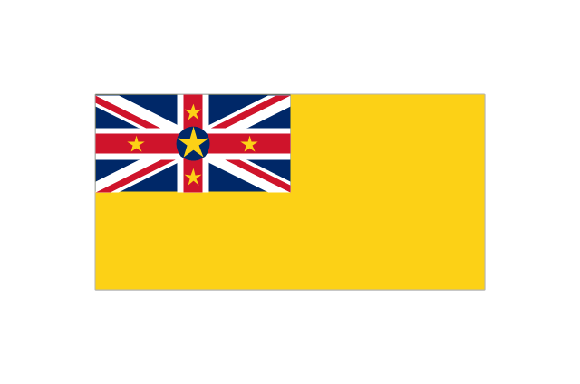
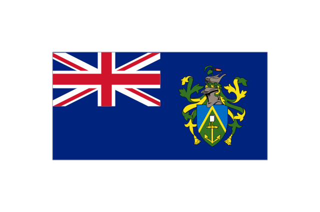
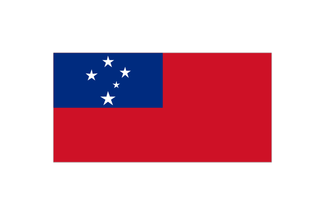
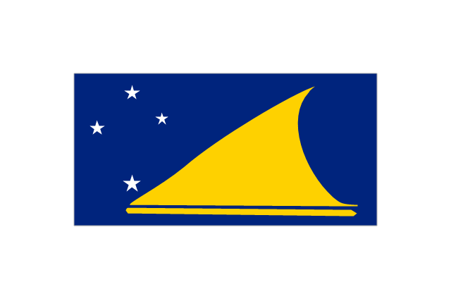
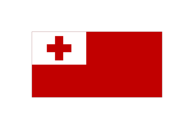
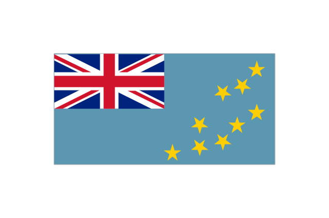
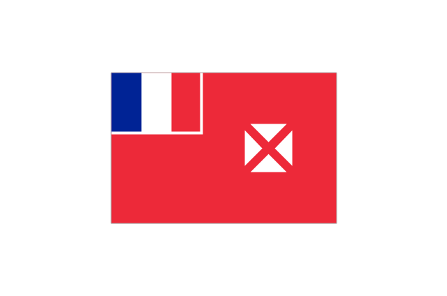
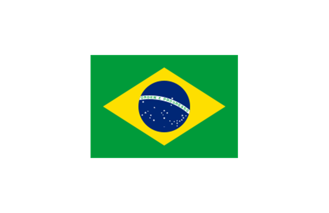
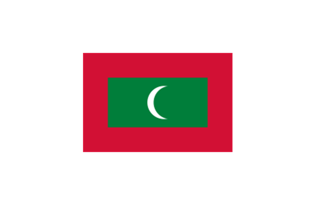
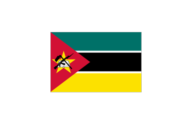
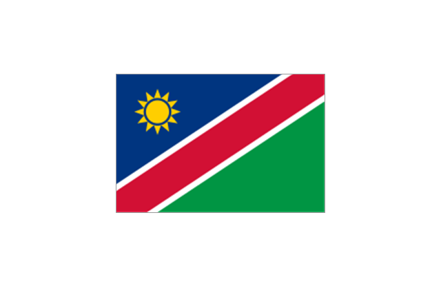
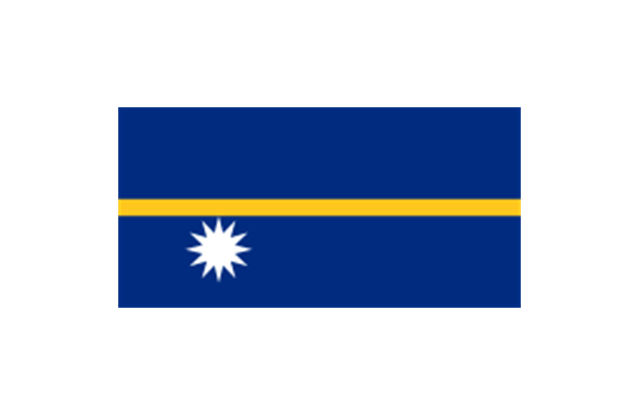
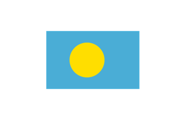
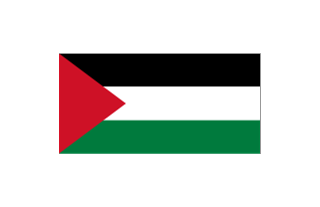
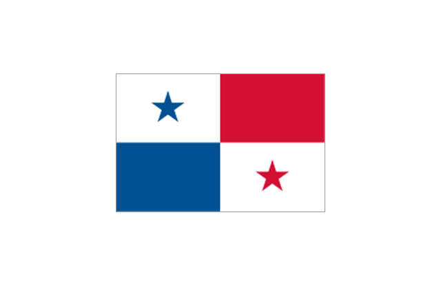
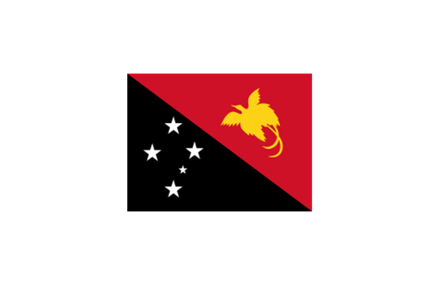
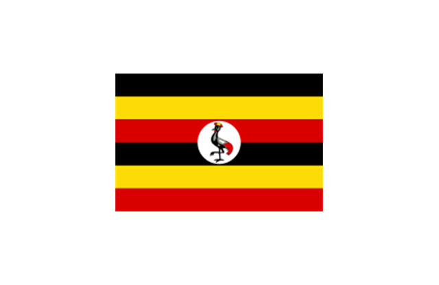
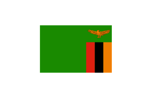
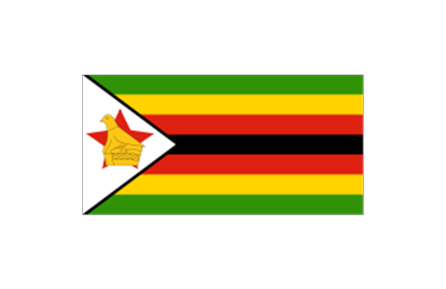
The vector stencils library "Oceania country flags" contains 31 clipart images of Oceanian state flags. Use the Oceania country flags clip art to illustrate your business documents, presentation slides, web pages, geo maps and infographics. The clip art example "Oceania country flags - Vector stencils library" was created using the ConceptDraw PRO diagramming and vector drawing software extended with the Artwork solution from the Illustration area of ConceptDraw Solution Park.
Australia
Christmas Island
Cocos (Keeling) Islands
-islands-oceania-flags---vector-stencils-library.png--diagram-flowchart-example.png)
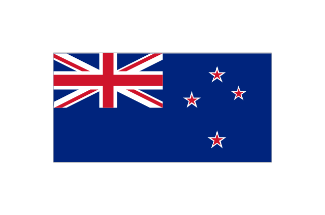
New Zealand
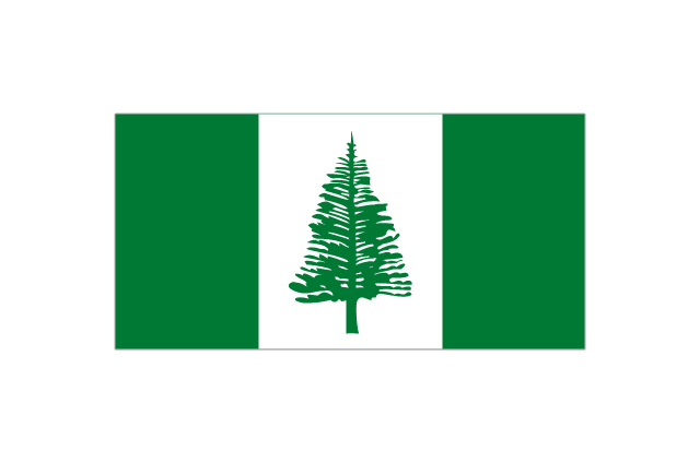
Norfolk Island
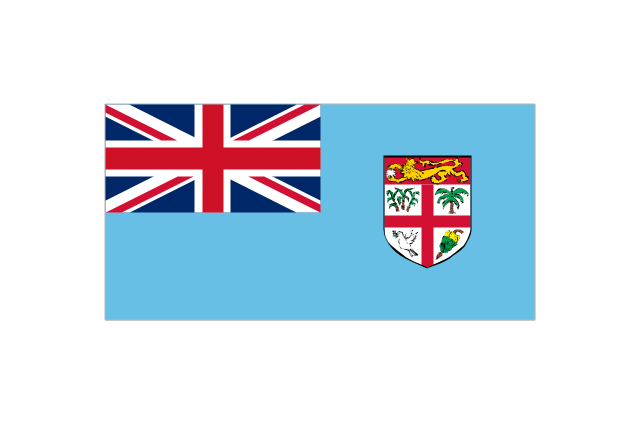
Fiji
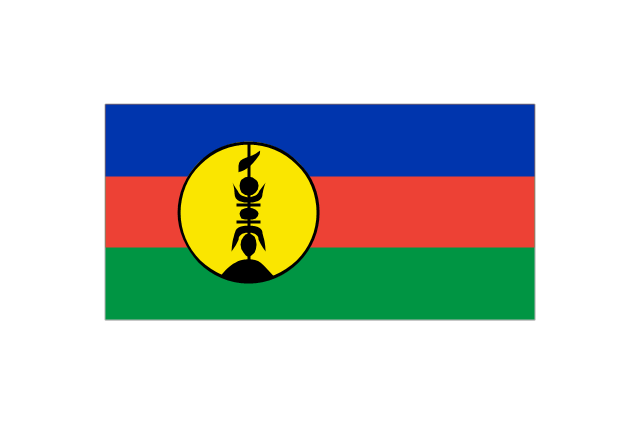
New Caledonia
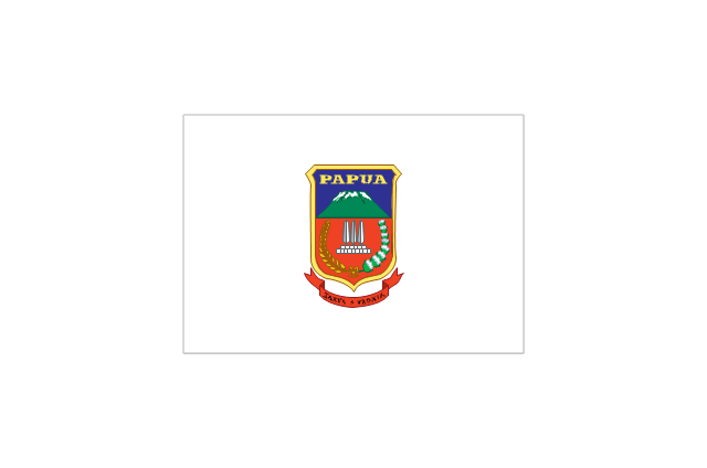
Papua
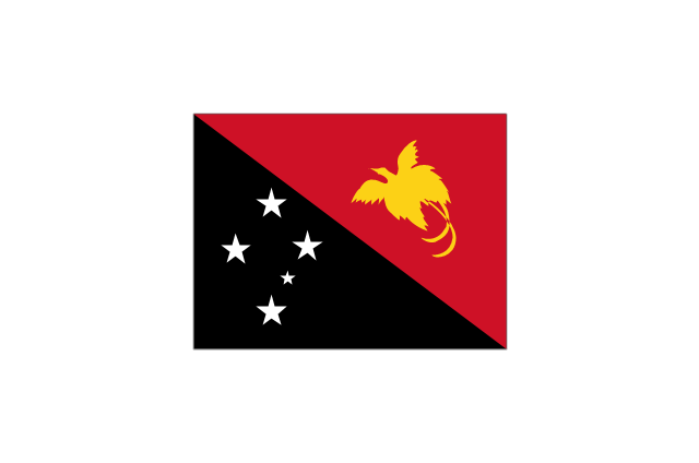
Papua New Guinea
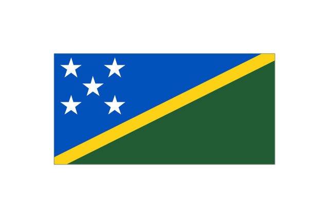
Solomon Islands
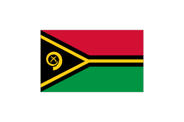
Vanuatu
Federated States of Micronesia
Guam
Kiribati
Marshall Islands
Nauru
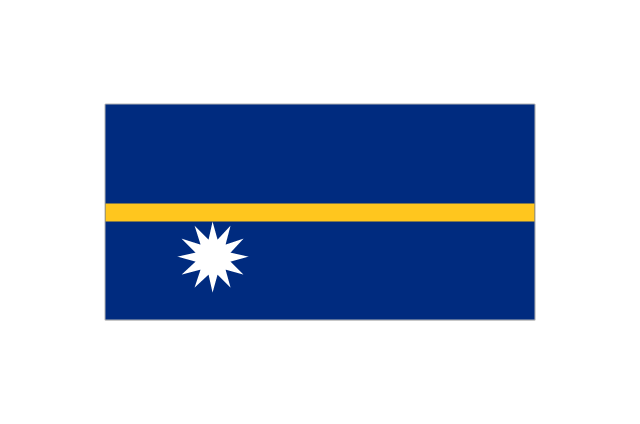
Northern Mariana Islands
Palau
Wake Island
American Samoa
Cook Islands
Easter Island
French Polynesia
Hawaii
Niue
Pitcairn Islands
Samoa
Tokelau
Tonga
Tuvalu
Wallis and Futuna
Geo Map - Australia

Geo Map - Australia - Tasmania

Geo Map - Australia - New South Wales

Geo Map - Australia - South Australia

Geo Map - Australia - Victoria

Geo Map - Australia - Queensland

Geo Map - Australia - Nothern Territory

Geo Map - Australia - Western Australia

Use the map contours library "Australia" to design thematic maps using the ConceptDraw PRO diagramming and vector drawing software.
The vector stencils library "Australia" contains 10 map contours: Australia continent contour, Australia political maps, map contours of New Zealand and Australian states and mainland territories: New South Wales, Nothern Territory, Qeensland, Tasmania, Victoria, Western Australia.
The map contours example "Design elements - Australia" is included in the Continent Maps solution from the Maps area of ConceptDraw Solution Park.
Australia and New Zealand map contours
How To Create Onion Diagram

But how to create Onion Diagram? Now, it's very easy thanks to the ConceptDraw PRO diagramming and vector drawing software extended with Stakeholder Onion Diagrams Solution from the Management Area of ConceptDraw Solution Park.
Use this template to design your Australia political map, cartogram or thematic map, to visualize your spatial business information connected with geographic areas, locations or ways.
This Australia map template for the ConceptDraw PRO diagramming and vector drawing software is included in the Continent Maps solution from the Maps area of ConceptDraw Solution Park.
This Australia map template for the ConceptDraw PRO diagramming and vector drawing software is included in the Continent Maps solution from the Maps area of ConceptDraw Solution Park.
Australia thematic map template
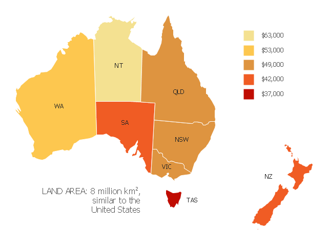
"Household income is a measure of the combined incomes of all people sharing a particular household or place of residence. It includes every form of income, e.g., salaries and wages, retirement income, near cash government transfers like food stamps, and investment gains.
Average household income can be used as an indicator for the monetary well-being of a country's citizens. Mean or median net household income, after taxes and mandatory contributions, are good indicators of standard of living, because they include only disposable income and acknowledge people sharing accommodation benefit from pooling at least some of their living costs.
Average household incomes need not map directly to measures of an individual's earnings such as per capita income as numbers of people sharing households and numbers of income earners per household can vary significantly between regions and over time." [Household income. Wikipedia]
This map example shows 2007 median household incomes in the states and mainland territories of the Commonwealth of Australia.
The thematic map example "Map of median household income in Australia" was redesigned from the Wikimedia Commons file: Map of median household income in Australia.PNG.
[commons.wikimedia.org/ wiki/ File:Map_ of_ median_ household_ income_ in_ Australia.PNG]
The example "Map of median household income in Australia" was created using the ConceptDraw PRO diagramming and vector drawing software extended with the Continent Map solution from the Maps area of ConceptDraw Solution Park.
Thematic map - Australia
Geo Map - Oceania

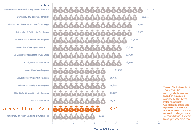
This image chart sample was drawn on the base of data from the website of the Office of Information Management and Analysis of the University of Texas at Austin.
"Undergraduate tuition and fees are based on 30 credit hours enrolled per academic year or full-time tuition as defined by the institution."
[utexas.edu/ tuition/ attach/ 2013-14_ NCG_ Tuition_ and_ Fees_ Table_ 20131122.pdf]
"Tuition payments, known primarily as tuition in American English and as tuition fees in British English, Canadian English, Australian English, New Zealand English and Indian English, refers to a fee charged for educational instruction during higher education.
Tuition payments are charged by educational institutions in some countries to assist with funding of staff and faculty, course offerings, lab equipment, computer systems, libraries, facility upkeep and to provide a comfortable student learning experience. In most countries, especially in non-English-speaking countries, there are no or only nominal tuition fees for all forms of education, including university and other higher education." [Tuition payments. Wikipedia]
The picture graph example "Resident undergraduate tuition and fees at national comparison group institutions, academic year 2013-14" was created using the ConceptDraw PRO diagramming and vector drawing software extended with the Picture Graphs solution from the Graphs and Charts area of ConceptDraw Solution Park.
Pictorial chart
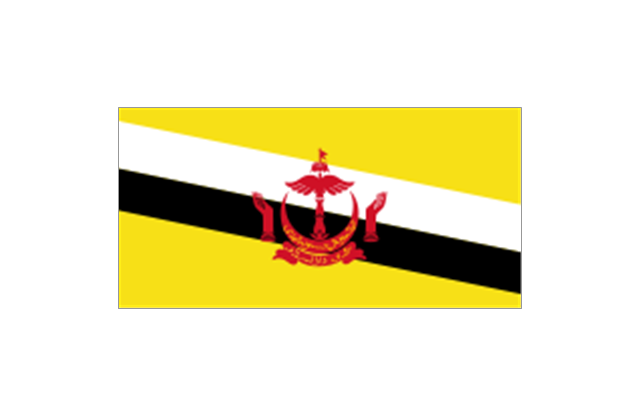
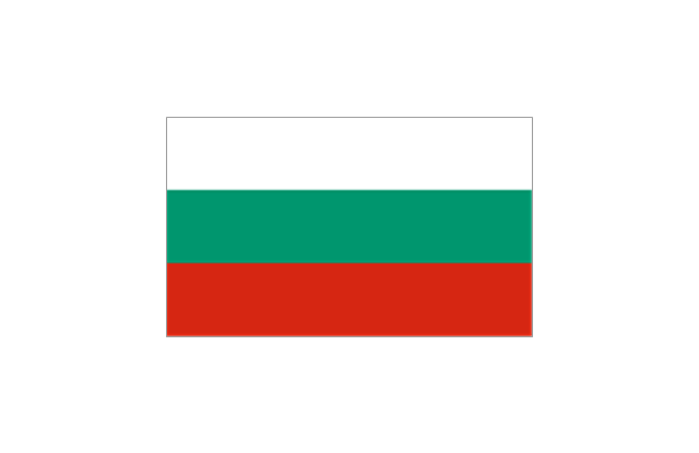
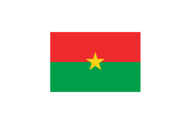
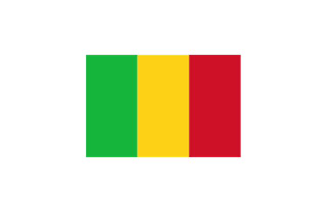
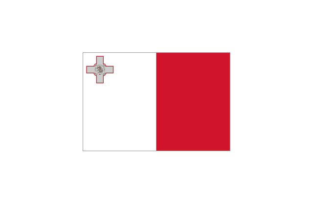
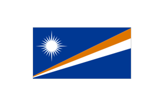
The stencils library "Flags" contains 204 clipart images of state flags.
"There are two separate meanings for the term state flag in vexillology - the flag of the government of a sovereign state, and the flag of an individual subnational state, such as a U.S. state, or a Russian oblast. ...
A state flag is a variant of a national flag (or occasionally a completely different design) specifically designated and restricted by law or custom (theoretically or actually) to use by a country's government or its agencies. For this reason they are sometimes referred to as government flags. In many countries the state flag and the civil flag (as flown by the general public) are identical, but in other countries, notably those in Latin America, central Europe, and Scandinavia, the state flag is a more complex version of the national flag, often featuring the national coat of arms or some other emblem as part of the design. Scandinavian countries also use swallowtailed state flags, to further differentiate them from civil flags.
In addition, some countries have state ensigns, separate flags for use by non-military government ships such as guard vessels. For example, government ships in the United Kingdom fly the blue ensign." [State flag. Wikipedia]
The clip art example "Flags - Stencils library" was created using the ConceptDraw PRO diagramming and vector drawing software extended with the Continent Maps solution from the Maps area of ConceptDraw Solution Park.
www.conceptdraw.com/ solution-park/ maps-continent
European Union
United Nations
Afghanistan
Albania
Algeria
Andorra
Angola
Antigua and Barbuda
Argentina
Armenia
Australia
Austria
Azerbaijan
Bahamas
Bahrain
Bangladesh
Barbados
Belarus
Belgium
Belize
Benin
Bolivia
Bosnia and Herzegovina
Botswana
Brazil
Brunei
Bulgaria
Burkina Faso
Burma
Burundi
Cambodia
Cameroon
Canada
Cape Verde
Central African Republic
Chad

Chile
China
Colombia
Comoros
Congo
Congo
Costa Rica
C??te d'Ivoire
Croatia
Cuba
Cyprus
Czech Republic
Denmark
Djibouti
Dominica
Dominican Republic
Ecuador
England
Egypt
El Salvador
Equatorial Guinea
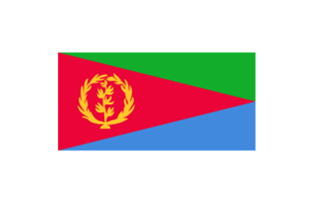
Eritrea
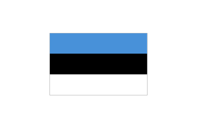
Estonia
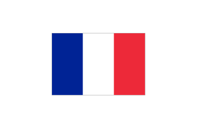
France
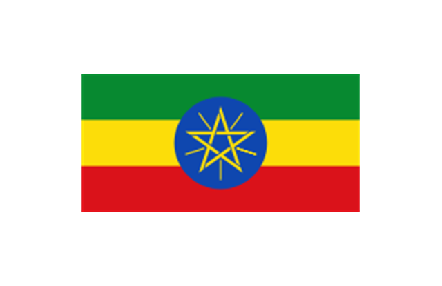
Ethiopia
Finland
Gabon
Gambia
Georgia
Germany
Ghana
Greece
Greenland
Grenada
Guatemala
Guinea
Guinea-Bissau
Guyana
Haiti
Honduras
Hong Kong
Hungary
Iceland
India
Indonesia
Iran
Iraq
Ireland
Israel
Italy
Jamaica
Jordan
Japan
Kazakhstan
Kenya
Kiribati
North Korea
South Korea
Kosovo
Laos
Kuwait
Kyrgyzstan
Latvia

Lebanon
Lesotho
Liberia
Libya
Liechtenstein
Lithuania
Luxembourg
Macedonia
Madagascar
Malawi
Malaysia
Maldives
Mali
Malta
Marshall Islands
Mauritius
Mauritania
Mexico

Micronesia
Moldova
Monaco
Mongolia
Montenegro
Morocco
Mozambique
Namibia
Nauru
Nepal
Netherlands
New Zealand
Nicaragua
Niger
Nigeria
Norway
Oman
Pakistan
Palau
Palestine
Panama
Papua New Guinea
Paraguay
Peru
Philippines
Poland
Portugal
Puerto Rico
Qatar
Romania
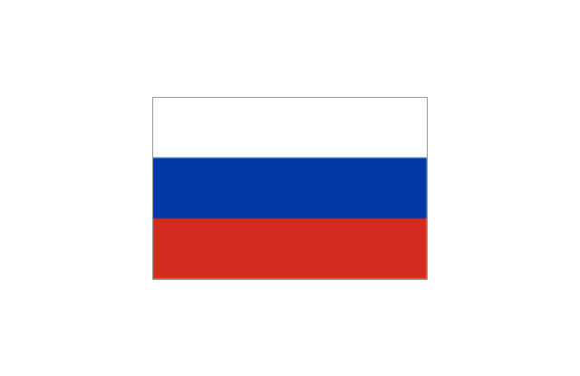
Russia
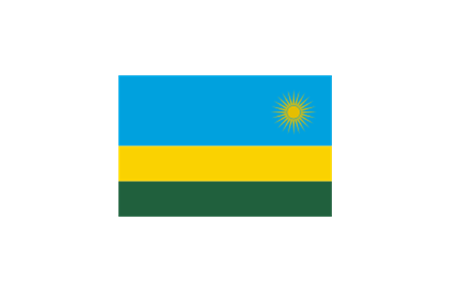
Rwanda
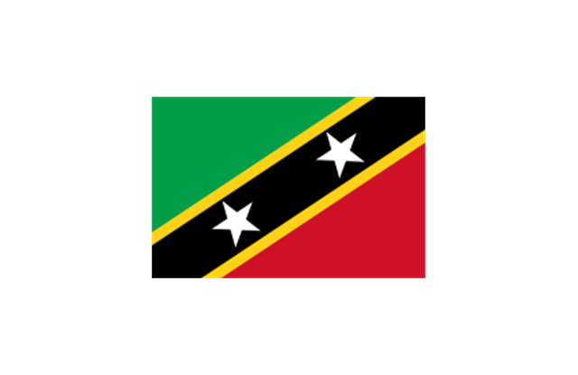
St. Kitts and Nevis
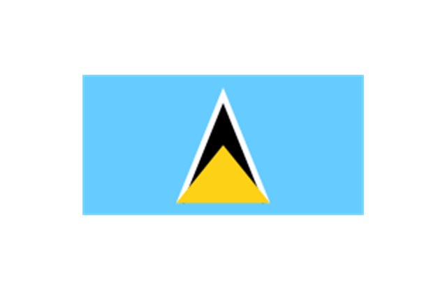
St. Lucia
St. Pierre and Miquelon
St. Vincent and the Grenadines
Samoa
San Marino
S??o Tom?? and Pr??ncipe
Saudi Arabia
Scotland
Senegal
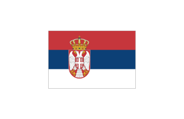
Serbia
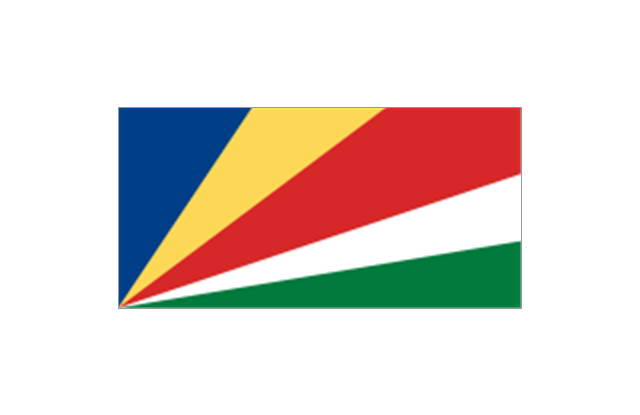
Seychelles
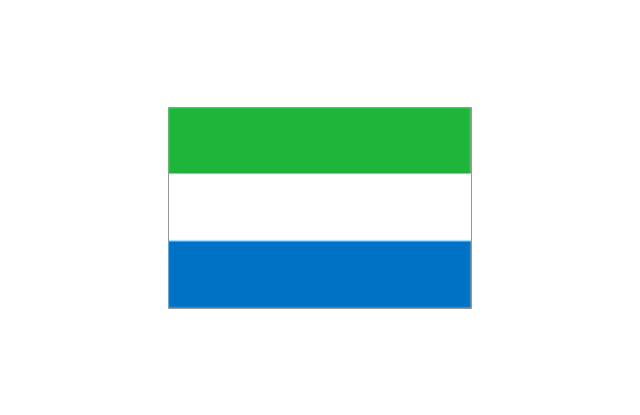
Sierra Leone
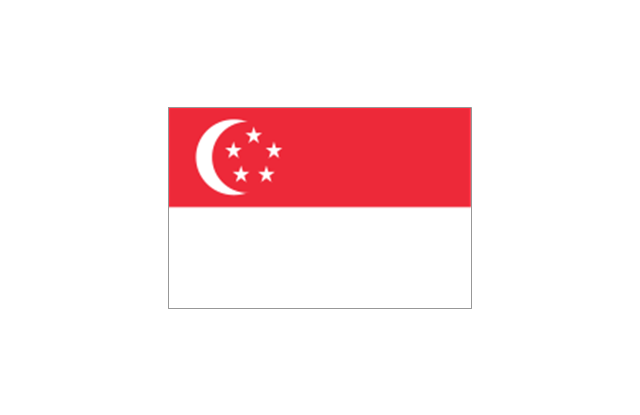
Singapore
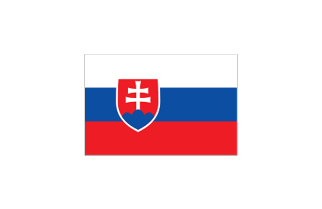
Slovakia
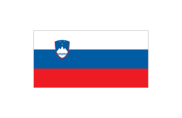
Slovenia
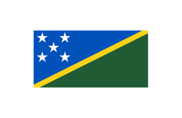
Solomon Islands
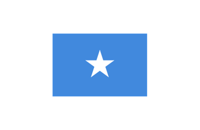
Somalia
South Africa

Spain
Sri Lanka
Sudan
South Sudan
Suriname
Swaziland
Sweden
Switzerland

Syria
Taiwan
Tajikistan
Tanzania
Thailand
Timor Leste

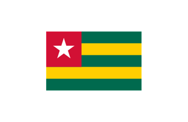
Togo
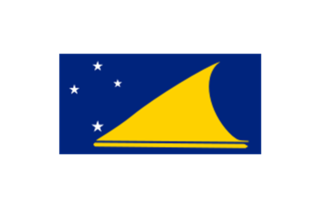
Tokelau
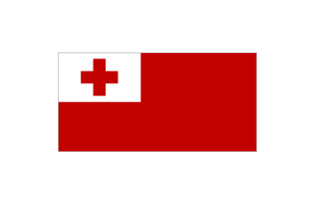
Tonga
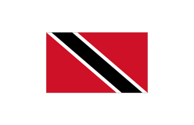
Trinidad and Tobago
Tunisia
Turkey
Turkmenistan
Tuvalu
Uganda
Ukraine
United Arab Emirates
United Kingdom
United States
Uruguay
Uzbekistan
Vanuatu
Venezuela
Vietnam
Western Sahara
Yemen
Zambia
Zimbabwe
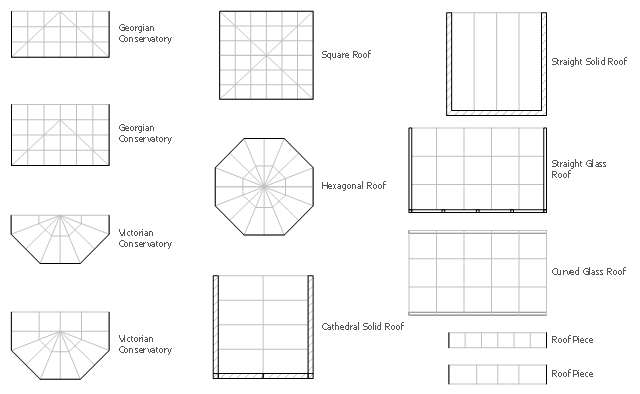
The design elements library Sunrooms contains 12 symbols of glass roof and conservatory.
Use the vector stencils library Sunrooms to draw the sunroom design plans, home layouts, architectural and construction documents.
"A sunroom, sun parlor, sun porch, or sun lounge is a structure usually constructed onto the side of a house which allows enjoyment of the surrounding landscape while being sheltered from adverse weather conditions such as rain and wind. It can be referred to as a patio room, solarium, conservatory or Florida room. The concept is popular in the United States, Europe, Canada, Australia, and New Zealand.
In Great Britain, the term conservatory is usually used to refer to a sunroom despite not being used as a greenhouse as traditional conservatories were. However, sunrooms with opaque roofs may be considered distinct from conservatories with transparent or semi-transparent roofs." [Sunroom. Wikipedia]
The shapes library Sunrooms is provided by the Floor Plans solution from the Building Plans area of ConceptDraw Solution Park.
Sunroom symbols
- Geo Map - Australia - New Zealand
- Australia and New Zealand - Vector stencils library
- Australia and New Zealand - Vector stencils library | Australia and ...
- Australia and New Zealand - Vector stencils library | Geo Map ...
- Australia and New Zealand - Vector stencils library | Kingston
- Map Of Australia And Newzealand
- Australia and New Zealand - Vector stencils library
- Geo Map - Australia - Nothern Territory | Australia and New Zealand ...
- Australia New Zealand Map Outline
- Australia and New Zealand - Vector stencils library | Design ...
- Geo Map - Australia | Geo Map - Australia - New Zealand | Geo Map ...
- Geo Map - Australia - New Zealand | Geo Map - Australia | Geo Map ...
- Geo Map - Australia - Tasmania | Australia - Vector stencils library ...
- Oceania flags - Vector stencils library
- Geo Map - Australia
- Australia Map | Geo Map - Australia | How to Draw Maps of Australia ...
- Continent Map Australia
- Infographic design elements, software tools Subway and Metro style ...
- Oceania flags - Vector stencils library | Oceania flags - Vector ...
- How to draw Metro Map style infographics? Moscow, New York, Los ...