Vector Map of Germany

Geo Map - Europe

Geo Map - Europe - Iceland

Map of UK — Channel Islands

Geo Map - Europe - France

Geo Map - Europe - Belarus

Geo Map - Europe - Portugal

Geo Map - Europe - Serbia

Geo Map - Asia - Kazakhstan

Geo Map - Canada - Quebec

Geo Map - South America Continent

Geo Map - Australia - New Zealand

Geo Map - Africa - Algeria

Geo Map - Africa

The vector stencils library "Concept maps" contains 16 geometrical shapes.
Use it to create your concept maps, mindmaps, idea maps, tree diagrams, omega maps, cluster diagrams and spider diagrams.
The symbols example "Concept maps - Vector stencils library" was created using the ConceptDraw PRO diagramming and vector drawing software extended with the Concept Maps solution from the area "What is a Diagram" of ConceptDraw Solution Park.
Rectangle

Rounded rectangle

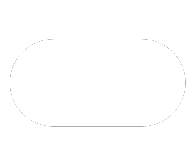
Stadium
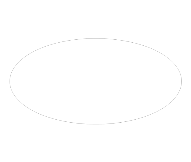
Oval
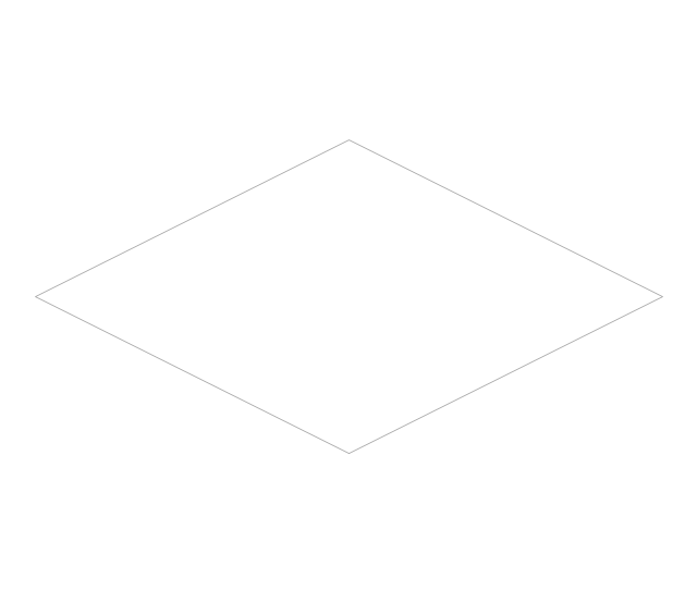
Diamond
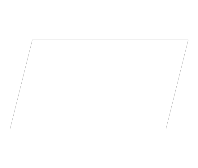
Parallelogram
Circle
Star

Hexagon
Cloud
Starburst
Arrow
Envelope

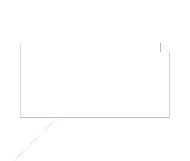
Note
Callout

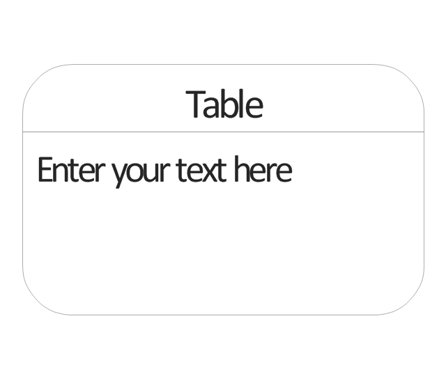
Table
- Concept maps - Vector stencils library | How To Make a Concept ...
- Geo Map - Asia - Philippines | Map of Continents | Map of Germany ...
- Vector Map of Germany | Geo Map - Europe | Geo Map - South ...
- Geo Map - South America - Suriname | South America - Vector ...
- New Zealand Map Vector
- Vector Map of Germany | MTA Subway Map | Fire Exit Plan. Building ...
- Metro Map Vector Free
- Germany Maps Design Vector Samples
- Geo Map - Europe
- Geo Map - Asia
- Geo Map - Asia - Indonesia | Asia - Vector stencils library | Education ...
- Geo Mapping Software Examples - World Map Outline | Geo Map ...
- Europe - Vector stencils library | Geo Map - Europe - Poland | Geo ...
- Concept Map Of Vectors
- Maps | Geo Map - Africa | Africa - Vector stencils library | Drawings ...
- European City Maps
- Geo Map - Canada - Newfoundland and Labrador | Management ...
- Concept maps - Vector stencils library | Concept Maps | Concept ...
- Vector Map of Germany | Process Flowchart | Geo Map - United ...