The vector stencils library "Geography" contains 14 clipart images of natural landscapes and water features for drawing illustrations.
"A natural landscape is a landscape that is unaffected by human activity. A natural landscape is intact when all living and nonliving elements are free to move and change. The nonliving elements distinguish a natural landscape from a wilderness. A wilderness includes areas within which natural processes operate without human interference, but a wilderness must contain life. As implied, a natural landscape may contain either the living or nonliving or both." [Natural landscape. Wikipedia]
The clip art example "Geography - Vector stencils library" was created using the ConceptDraw PRO diagramming and vector drawing software extended with the Nature solution from the Illustration area of ConceptDraw Solution Park.
www.conceptdraw.com/ solution-park/ illustrations-nature
Ocean

Forest

River

Lake

Waterfall

Mountains

Mountain

Ravine

Volcano

Desert

Hills

Iceberg

Conifer tree

Tree

Geo Map - South America - Peru

Geo Map - USA - Montana

Geo Map - Asia - Iraq

Geo Map - Asia - Japan

Geo Map - Asia - United Arab Emirates

Geo Map - Europe - Belgium

Geo Map - South America - Chile

Geo Map - South America - Belize

Geo Map - South America - Bolivia

Geo Map - South America - Suriname

Geo Map of Americas

The vector stencils library "Geography" contains 14 clipart images of natural landscapes and water features for drawing illustrations.
"A natural landscape is a landscape that is unaffected by human activity. A natural landscape is intact when all living and nonliving elements are free to move and change. The nonliving elements distinguish a natural landscape from a wilderness. A wilderness includes areas within which natural processes operate without human interference, but a wilderness must contain life. As implied, a natural landscape may contain either the living or nonliving or both." [Natural landscape. Wikipedia]
The clip art example "Geography - Vector stencils library" was created using the ConceptDraw PRO diagramming and vector drawing software extended with the Nature solution from the Illustration area of ConceptDraw Solution Park.
www.conceptdraw.com/ solution-park/ illustrations-nature
"A natural landscape is a landscape that is unaffected by human activity. A natural landscape is intact when all living and nonliving elements are free to move and change. The nonliving elements distinguish a natural landscape from a wilderness. A wilderness includes areas within which natural processes operate without human interference, but a wilderness must contain life. As implied, a natural landscape may contain either the living or nonliving or both." [Natural landscape. Wikipedia]
The clip art example "Geography - Vector stencils library" was created using the ConceptDraw PRO diagramming and vector drawing software extended with the Nature solution from the Illustration area of ConceptDraw Solution Park.
www.conceptdraw.com/ solution-park/ illustrations-nature
Ocean
Forest
River
Lake
Waterfall
Mountains
Mountain
Ravine
Volcano
Desert
Hills
Iceberg
Conifer tree
Tree
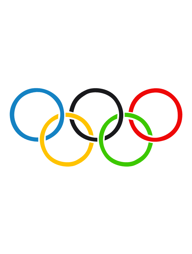
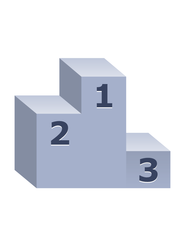
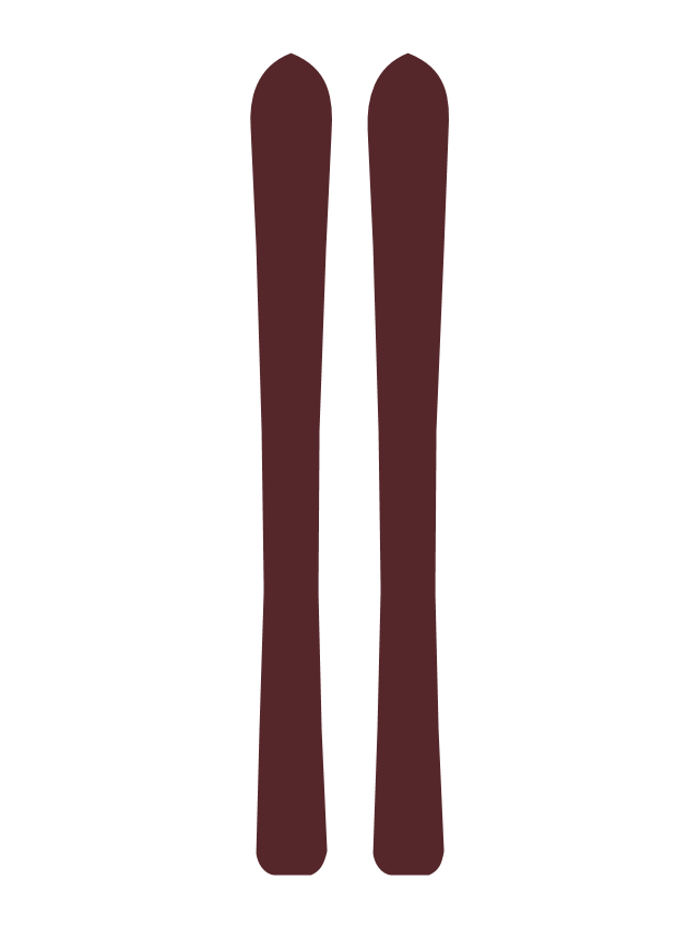
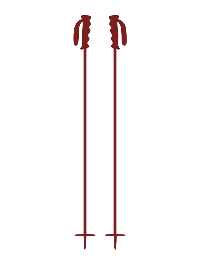
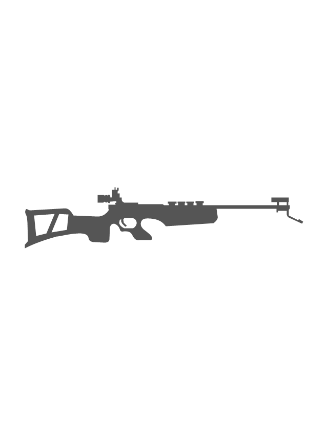
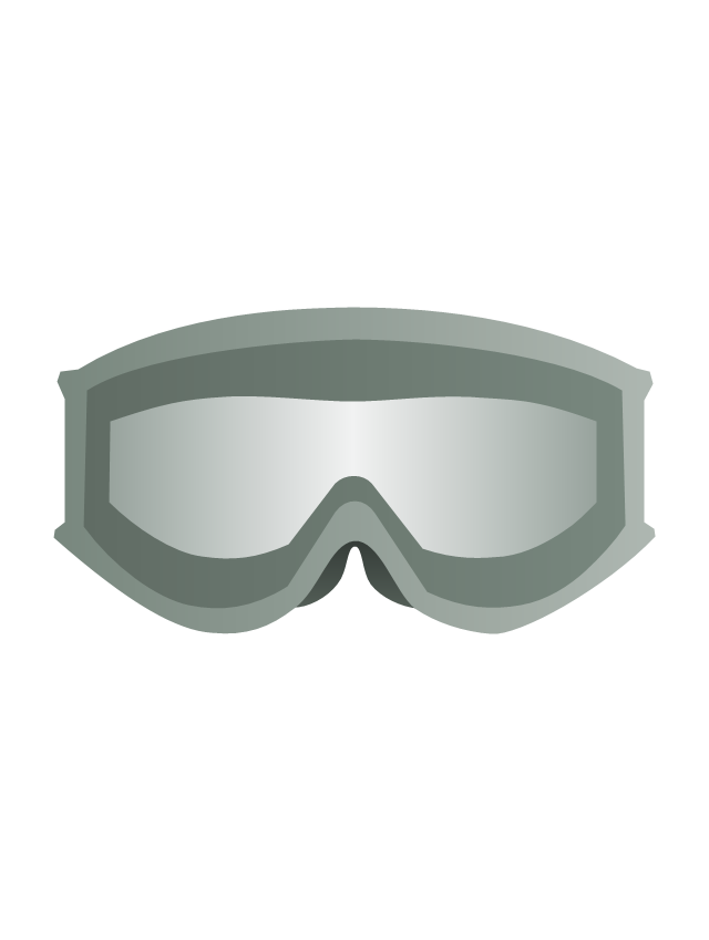
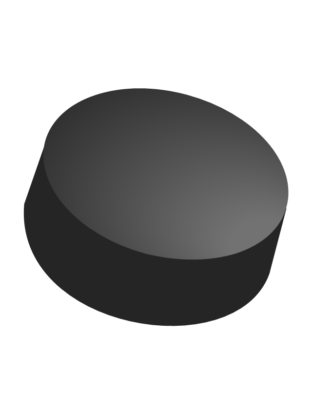
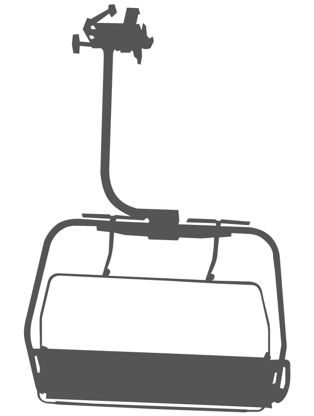
The vector stencils library "Winter Olympics pictograms" contains 29 pictograms and silhouettes.
Use it for drawing Winter Olympics diagrams, infographics and illustrations in the ConceptDraw PRO diagramming and vector drawing software extended with the Winter Sports solution from the Sport area of ConceptDraw Solution Park.
Use it for drawing Winter Olympics diagrams, infographics and illustrations in the ConceptDraw PRO diagramming and vector drawing software extended with the Winter Sports solution from the Sport area of ConceptDraw Solution Park.
Olympic rings
Olympic torch

Olympic medal pedestal
Olympic medal, gold

Olympic medal, silver

Olympic medal, bronze

Olympic medal with ribbon, gold

Olympic medal with ribbon, silver

Olympic medal with ribbon, bronze

Skis
Ski poles
Biathlon rifle
Snowboard

Ski goggles
Ski gloves

Ice hockey helmet

Hockey stick

Hockey puck
Ice hockey skates

Ice skates

Luge

Bobsleigh sled

Curling stone

Curling broom

Mountains

Mountains 2

Snowflake

Fir-tree

Ski lift
How can you illustrate the weather condition

- Mountain Range Vector Png
- Mountain Range Vector
- Mountain Range Illustrations
- Mountain Range Pictogram
- Design elements - Geography | Geography - Vector stencils library ...
- Geography - Vector stencils library
- Geography - Vector stencils library | Map Software | How to Draw a ...
- Geography - Vector stencils library
- Offshore Visio Stencil
- Geography - Vector stencils library | Weather - Vector stencils library ...
- Geography - Vector stencils library
- Mountain Map Vector
- Mountain зтп
- Design elements - Geography | Geography - Vector stencils library ...
- Geography - Vector stencils library
- Mountain Location Png Vector
- Geography - Vector stencils library | Geo Map - Europe - Bulgaria ...
- Geography - Vector stencils library | Geography - Vector stencils ...
- Geography - Vector stencils library | Sea Waves Png
- Mountain Drawing Stencils