Process Flow Diagram Symbols

The vector stencils library "Computers and network isometric" contains 56 3D clipart images of computer and network devices and equipment for drawing network diagrams.
The clip art example "Computers and network isometric - Vector stencils library" was created using the ConceptDraw PRO diagramming and vector drawing software extended with the Computer and Networks solution from the Computer and Networks area of ConceptDraw Solution Park.
The clip art example "Computers and network isometric - Vector stencils library" was created using the ConceptDraw PRO diagramming and vector drawing software extended with the Computer and Networks solution from the Computer and Networks area of ConceptDraw Solution Park.
Laptop

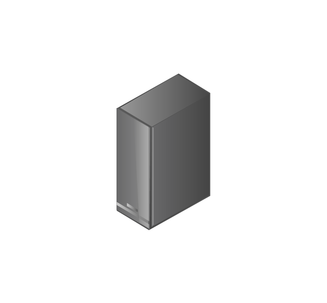
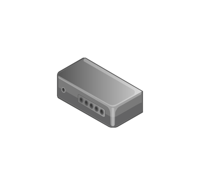
DDCS

Server
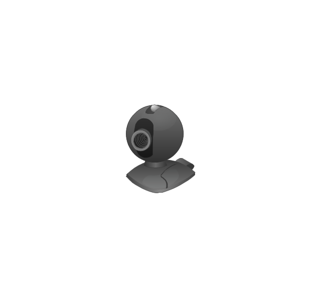
Webcam
Wireless Network Storage
Personal computer

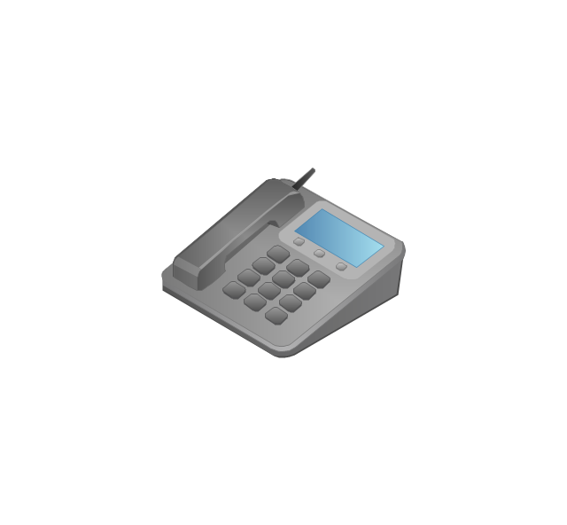
VoIP phone
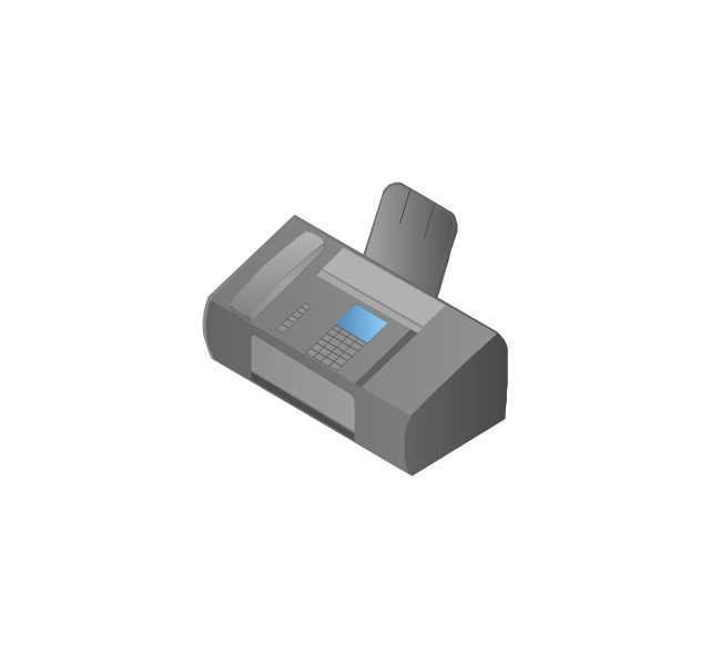
Fax
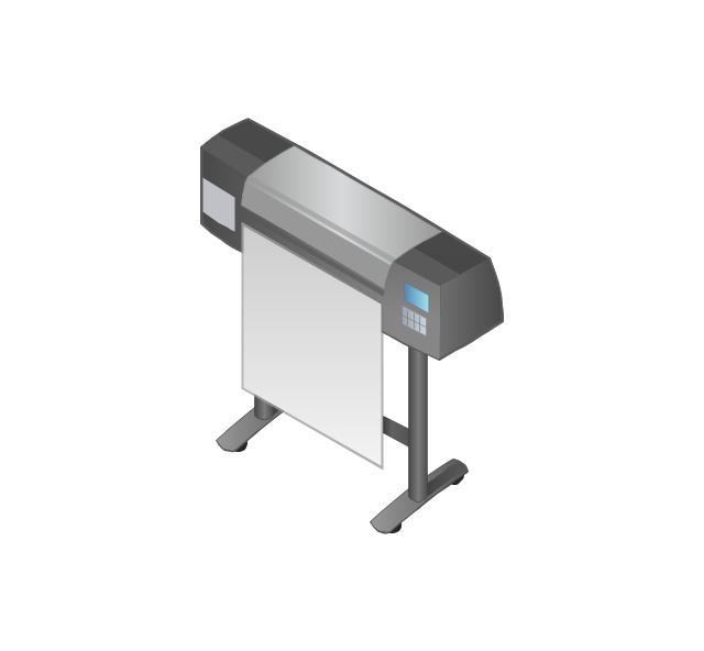
Plotter
Mobile phone
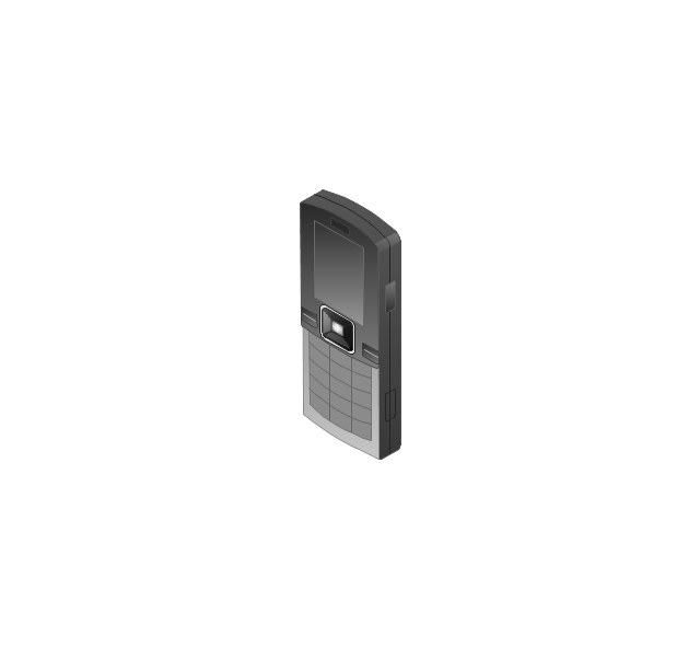
Feature phone

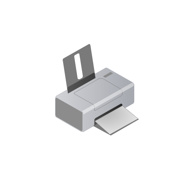
Printer
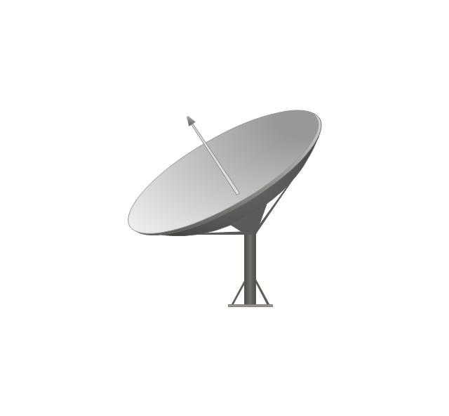
Satellite dish
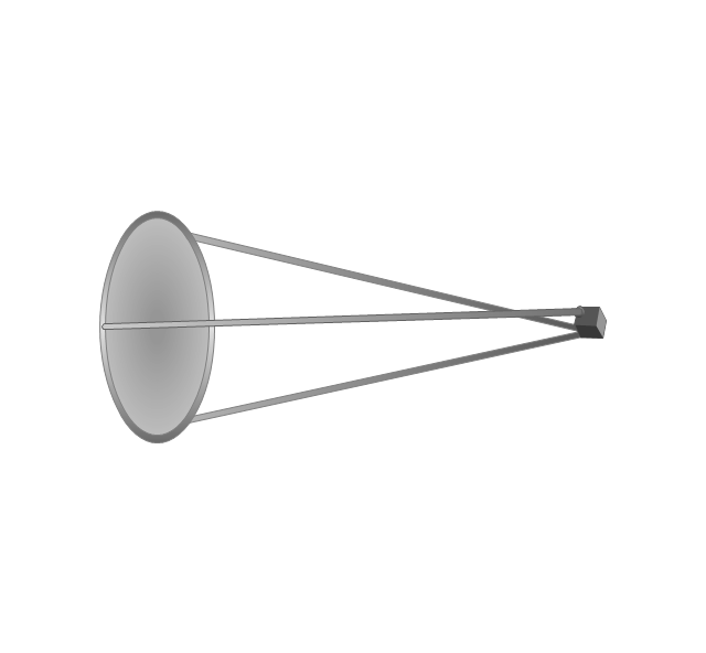
Satellite antenna
Automatic-tracking satellite dish
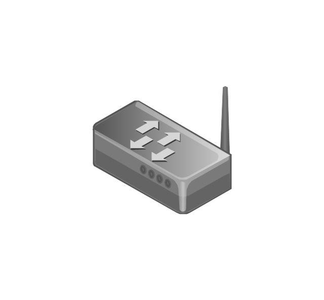
Wireless access point
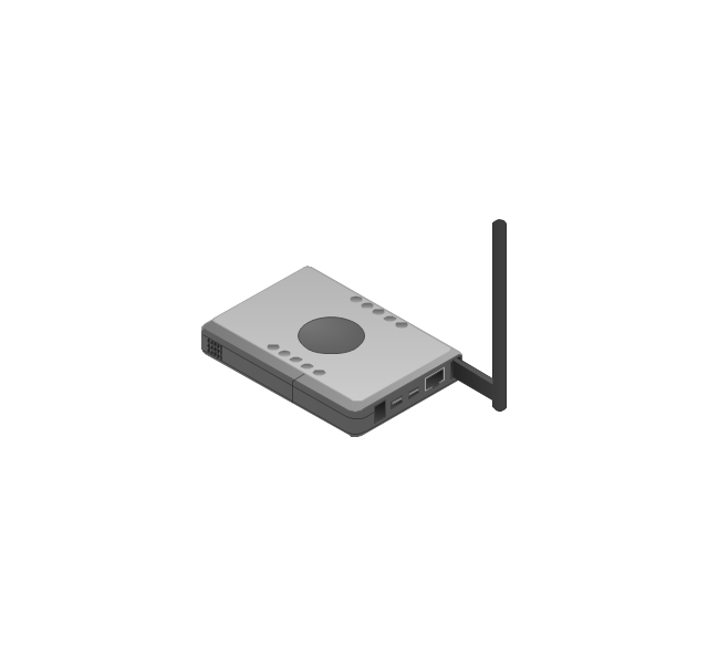
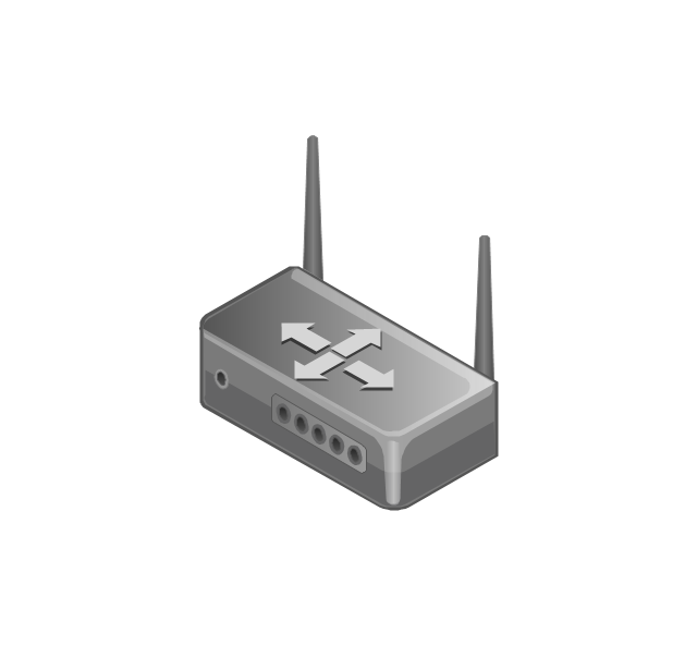
Wireless router
Router
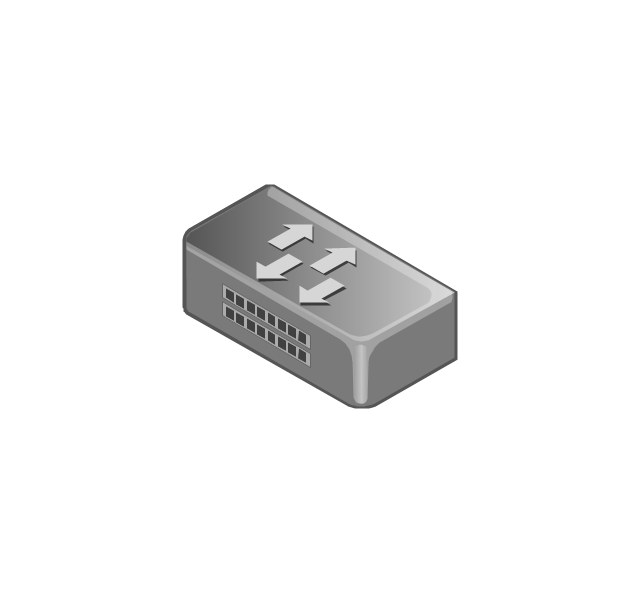
Network switch
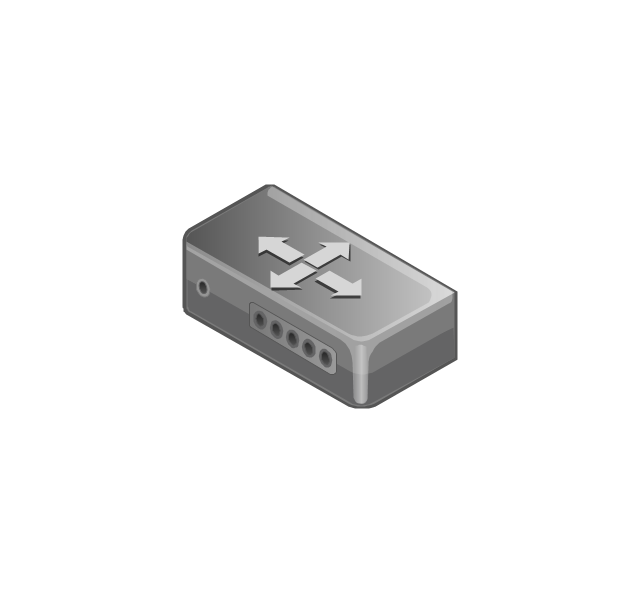
Network device
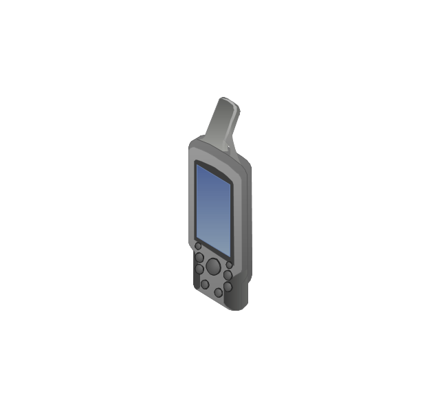
Mobile GPS Terminal
GPS phone
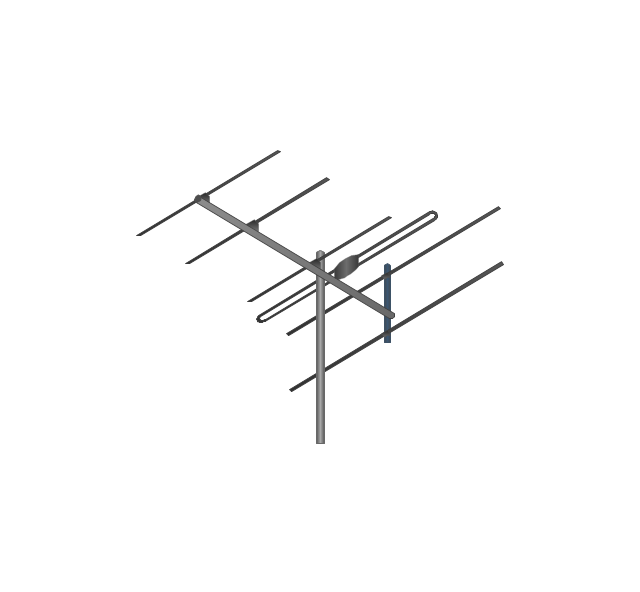
Television antenna
Radio tower

Base station

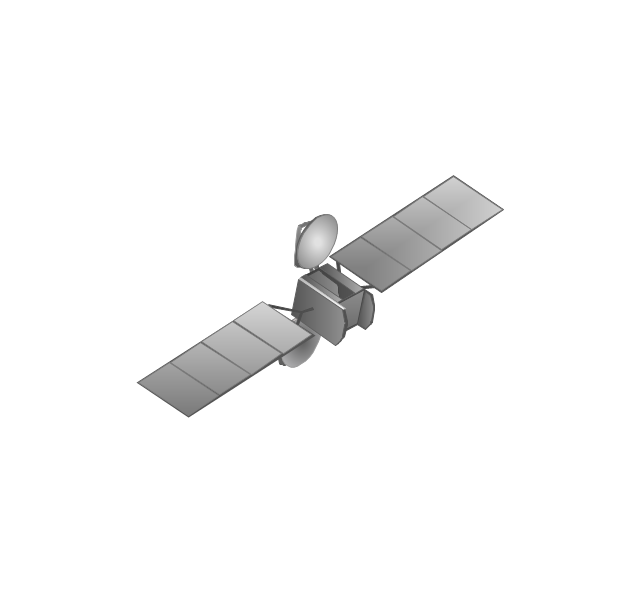
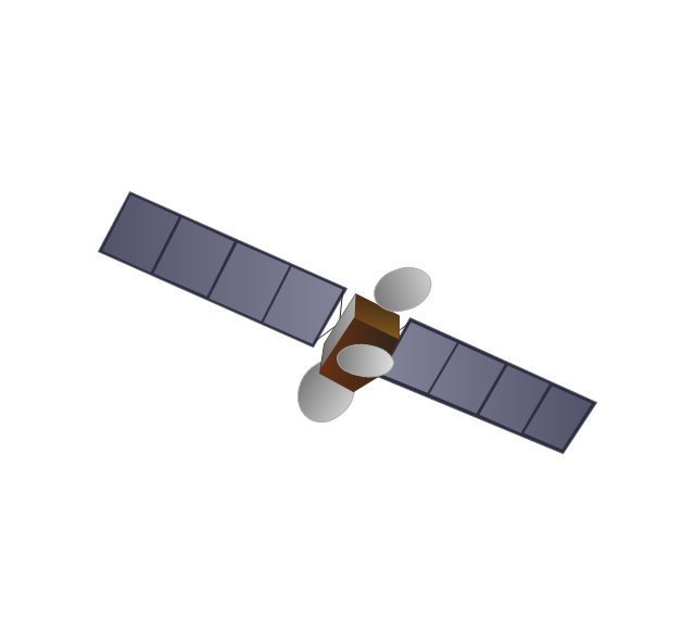
Satellite
In-vehicle satellite telecommunication

Satellite dishes on ship

Airplane

Internet

Man

Woman

Call-center

Honeycomb

Mountain

Radio waves

Radio waves

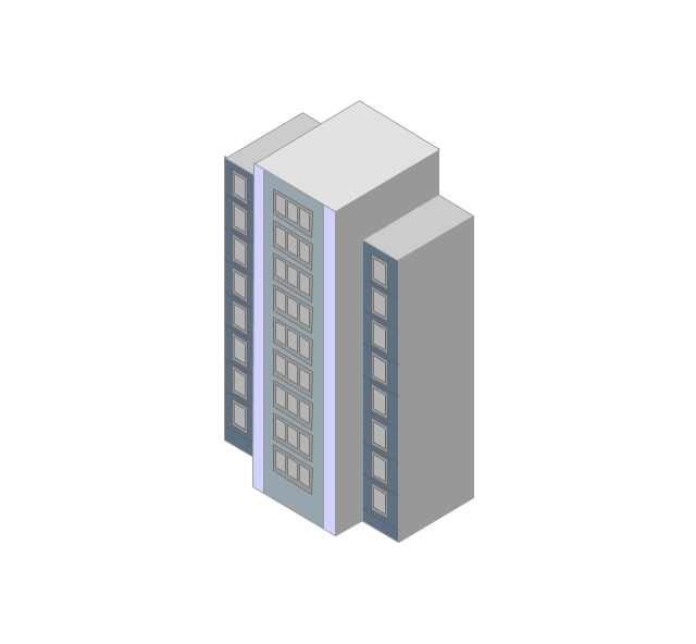
Tower block
Office building

House

House

Globe

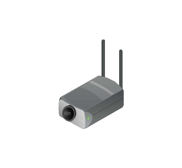
Wireless security camera
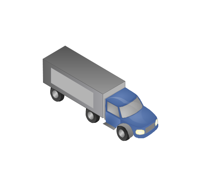
Truck
Tree

Conifer tree

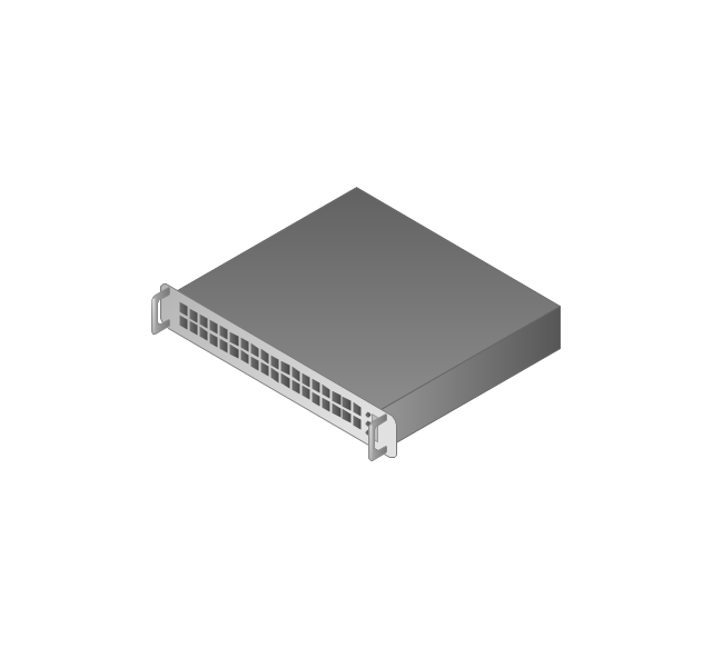
1U hub / switch
2U hub / switch
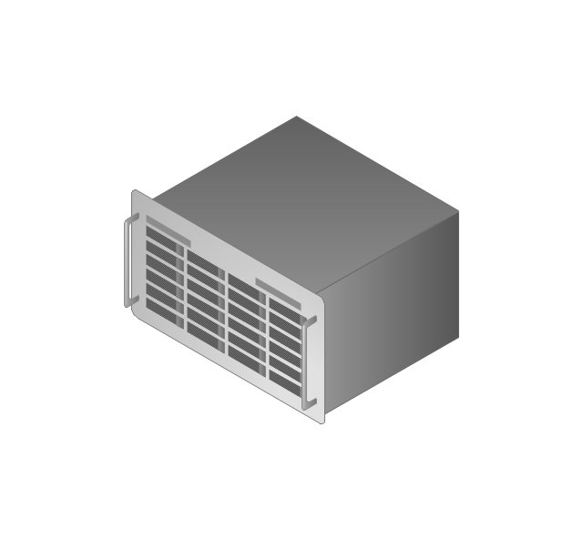
1U server

2U Server
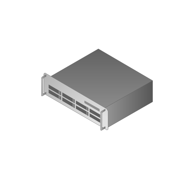
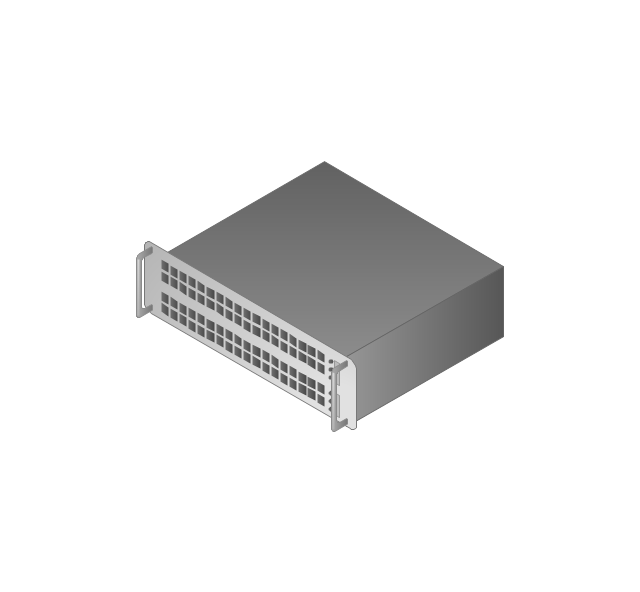
3U Server
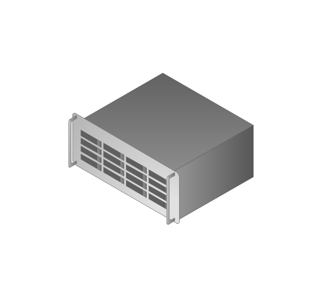
4U Server
Communications satellite
Car
Radio waves

Firewall

Map of USA

Geo Mapping Software Examples - World Map Outline

Export from ConceptDraw PRO Document to a Graphic File


Geo Map of Americas

Map of USA States

Geo Map - South America - Peru

Geo Map - USA - Mexico

Map of Continents

Geo Map - USA - New York

Geo Map - USA - Florida

Geo Map - World

Building Drawing . Design Element: School Layout


Physics Symbols

- Globe Visio
- Visio Stencils Radio
- Blue Globe Visio
- Visio Symbol Web Application Firewall
- Telecommunication networks. Computer and Network Examples ...
- How To Import Shape Data from Visio to ConceptDraw PRO | How to ...
- Amar Opening (Paris Gambit) | Visio Files and ConceptDraw ...
- Earth Symbol Visio
- Visio Shape Contact Centre
- Visio Boat Stencils
- Radar Visio Shape
- Magnifying Glass Shape In Visio
- Shape Visio Ship
- Visio Shapes Ships
- Blue Earth Visio
- Visio Stencil Tv Antenna
- Ip Camera Visio Shape
- Block Diagram | Cloud clipart - Vector stencils library | Lego Visio
- Visio Shape Library Vessel
- Voip Visio Stencils