The vector stencils library "Geography" contains 14 clipart images of natural landscapes and water features for drawing illustrations.
"A natural landscape is a landscape that is unaffected by human activity. A natural landscape is intact when all living and nonliving elements are free to move and change. The nonliving elements distinguish a natural landscape from a wilderness. A wilderness includes areas within which natural processes operate without human interference, but a wilderness must contain life. As implied, a natural landscape may contain either the living or nonliving or both." [Natural landscape. Wikipedia]
The clip art example "Geography - Vector stencils library" was created using the ConceptDraw PRO diagramming and vector drawing software extended with the Nature solution from the Illustration area of ConceptDraw Solution Park.
www.conceptdraw.com/ solution-park/ illustrations-nature
Ocean

Forest

River

Lake

Waterfall

Mountains

Mountain

Ravine

Volcano

Desert

Hills

Iceberg

Conifer tree

Tree

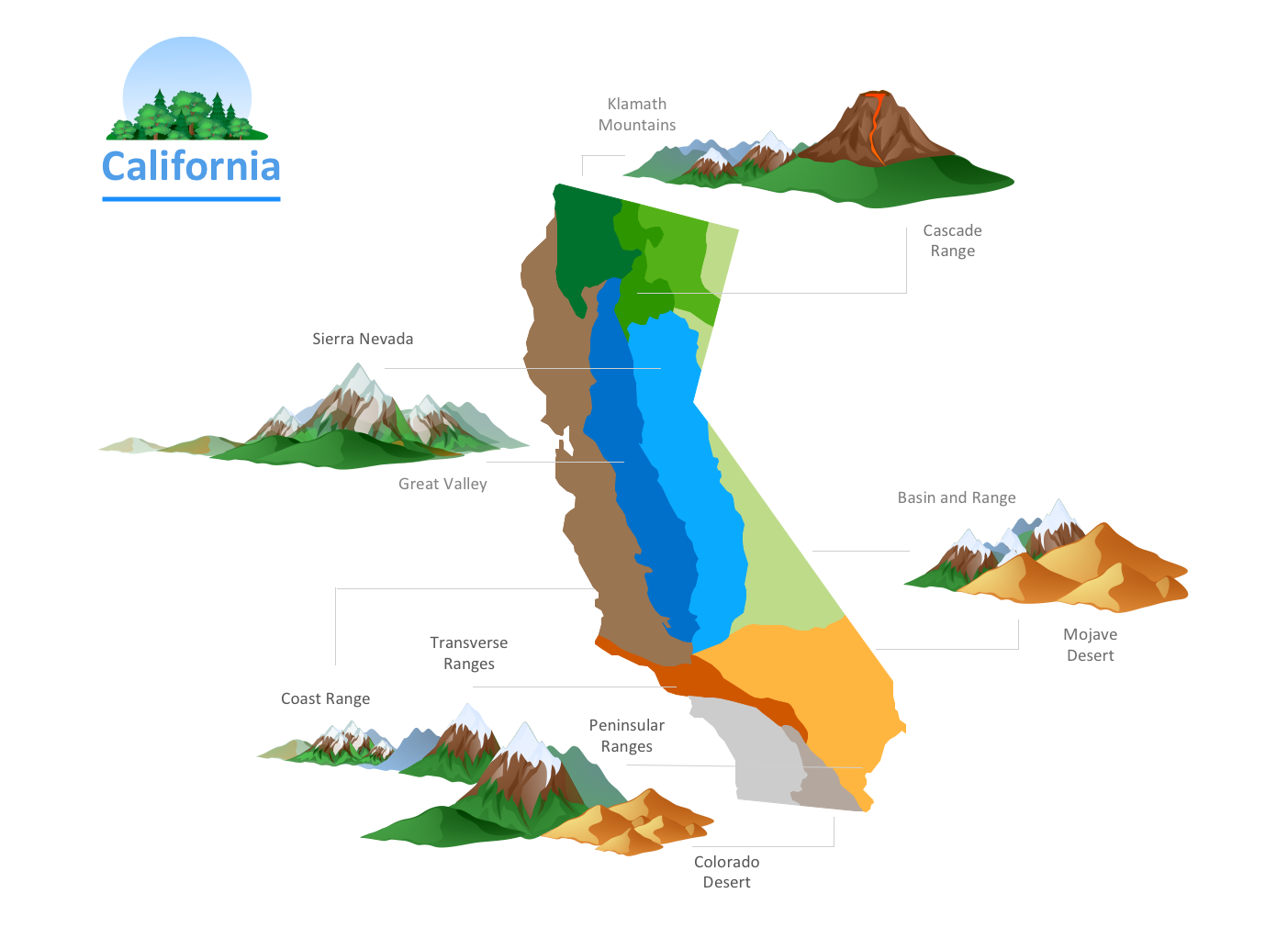
How to Draw a Natural Landscape

Map Software

HelpDesk
How to Draw a Map of North America

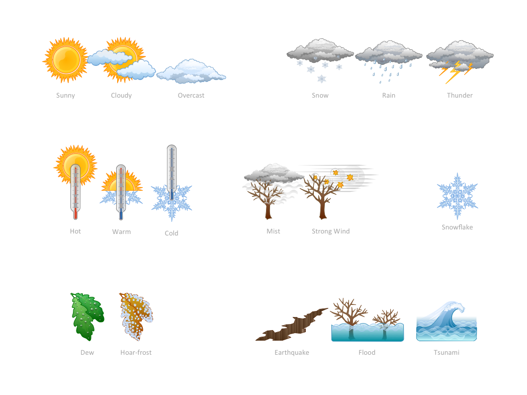
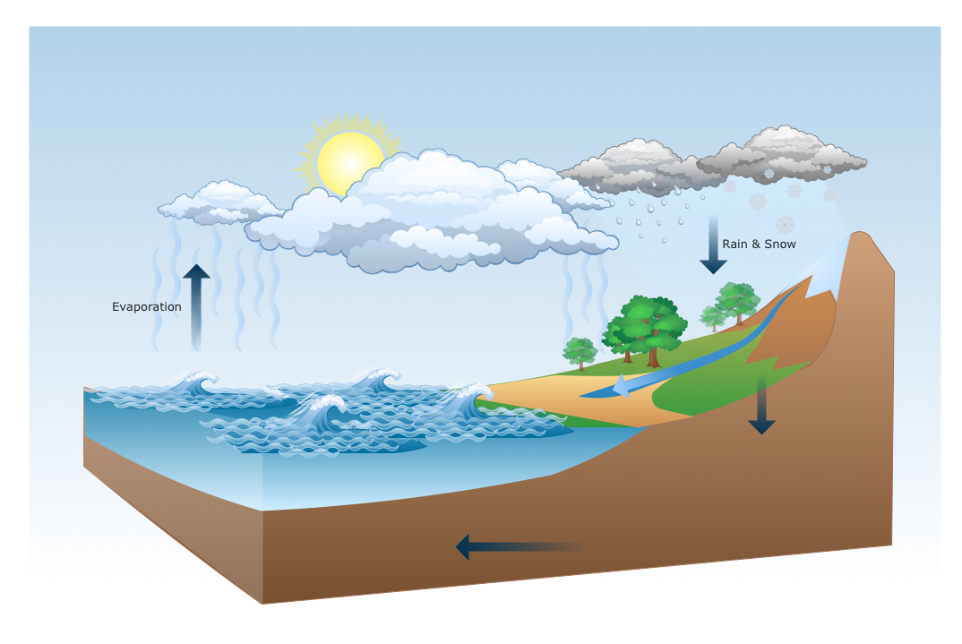
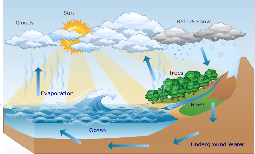
How can you illustrate the weather condition
Drawing Illustration
Nature Drawings - How to Draw
Beauty in nature Illustrations and Clipart
Geo Map - Africa

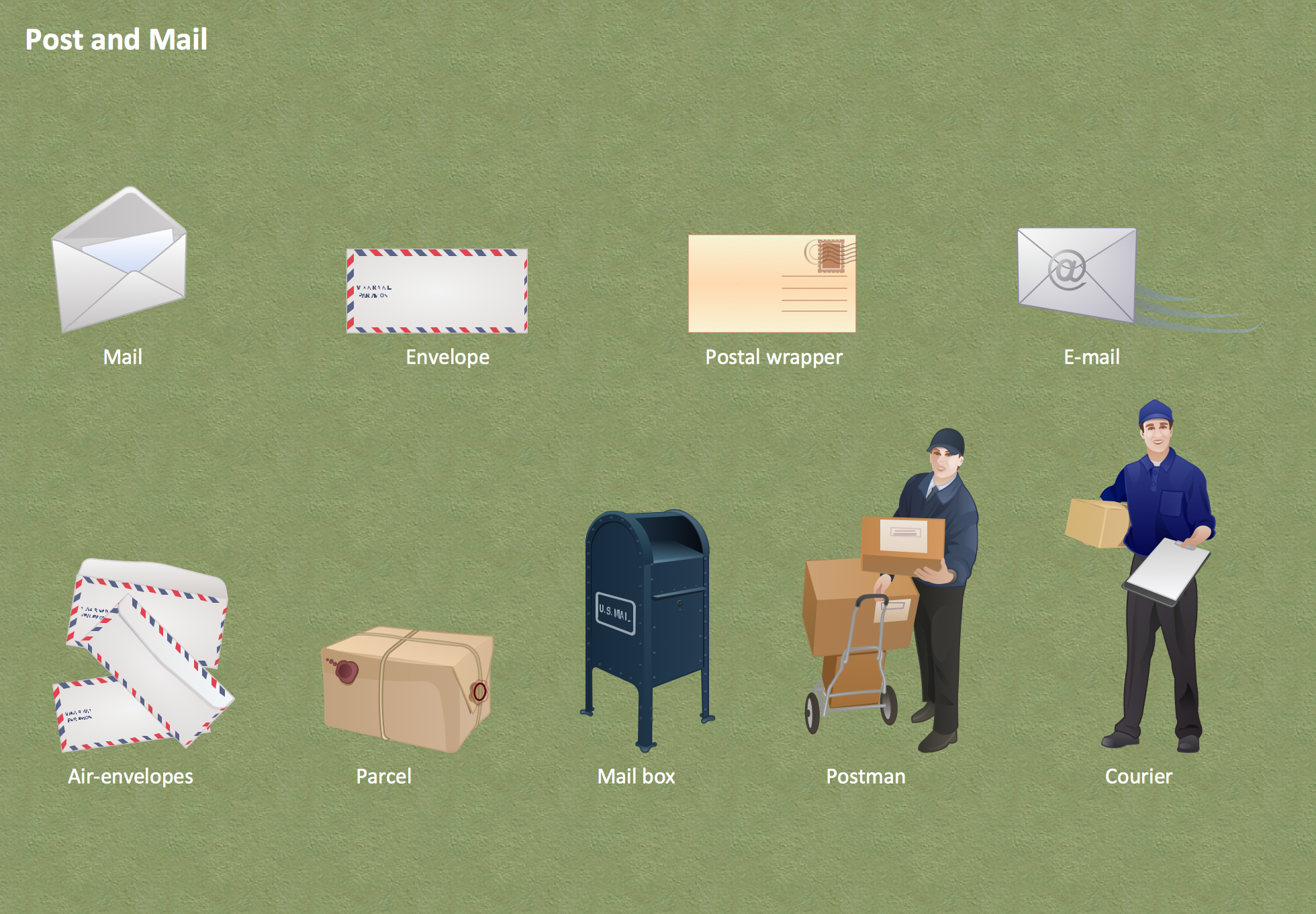
Post and Mail - Design Elements
Geo Map - Asia - Philippines

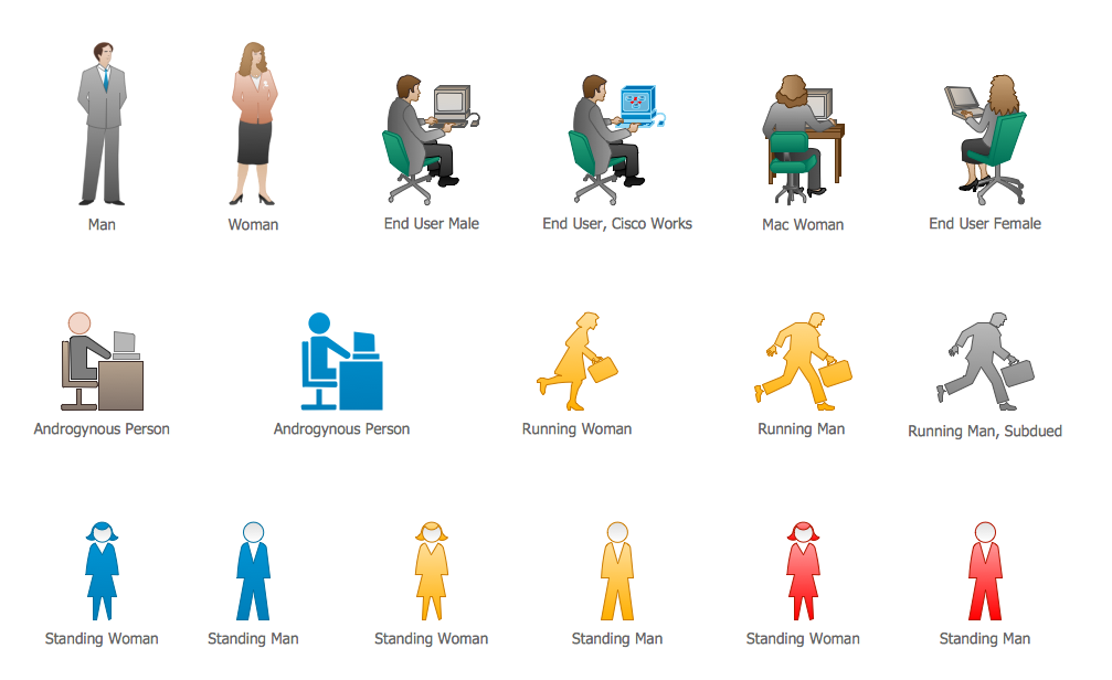
Cisco People. Cisco icons, shapes, stencils and symbols
Wide area network (WAN) topology. Computer and Network Examples

The vector stencils library "Cisco WAN" contains 15 symbols of wide area network (WAN) devices and equipment for drawing Cisco WAN diagrams.
"A wide area network (WAN) is a network that covers a broad area (i.e., any telecommunications network that links across metropolitan, regional, or national boundaries) using leased telecommunication lines. Business and government entities utilize WANs to relay data among employees, clients, buyers, and suppliers from various geographical locations. ...
Related terms for other types of networks are personal area networks (PANs), local area networks (LANs), campus area networks (CANs), or metropolitan area networks (MANs) which are usually limited to a room, building, campus or specific metropolitan area (e.g., a city) respectively.
... it may be best to view WANs as computer networking technologies used to transmit data over long distances, and between different LANs, MANs and other localised computer networking architectures. ...
WANs are often built using leased lines. At each end of the leased line, a router connects the LAN on one side with a second router within the LAN on the other. Leased lines can be very expensive. Instead of using leased lines, WANs can also be built using less costly circuit switching or packet switching methods. Network protocols including TCP/ IP deliver transport and addressing functions. Protocols including Packet over SONET/ SDH, MPLS, ATM and Frame relay are often used by service providers to deliver the links that are used in WANs." [Wide area network. Wikipedia]
The symbols example "Cisco WAN - Vector stencils library" was created using the ConceptDraw PRO diagramming and vector drawing software extended with the Cisco Network Diagrams solution from the Computer and Networks area of ConceptDraw Solution Park.
www.conceptdraw.com/ solution-park/ computer-networks-cisco
CSU/DSU
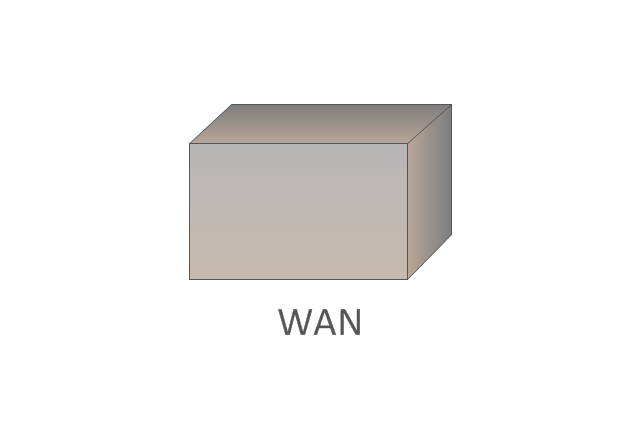
WAN
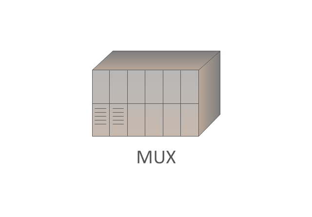
MUX
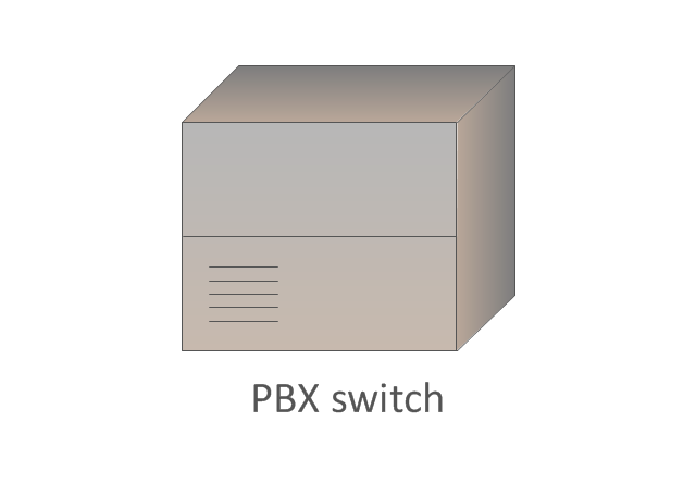
PBX switch
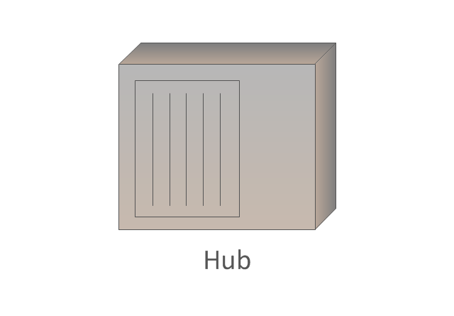
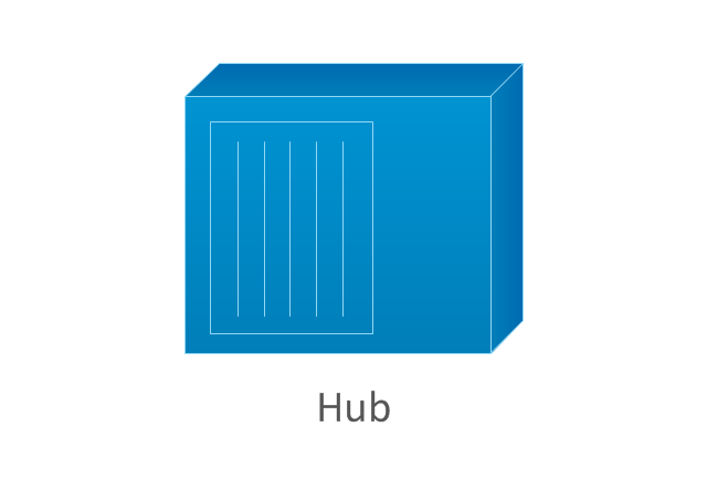
Hub
Hub, blue
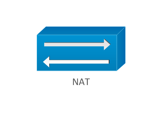
NAT
Network cloud, dark
Network cloud, gold
Network cloud, white
Network cloud, standard color
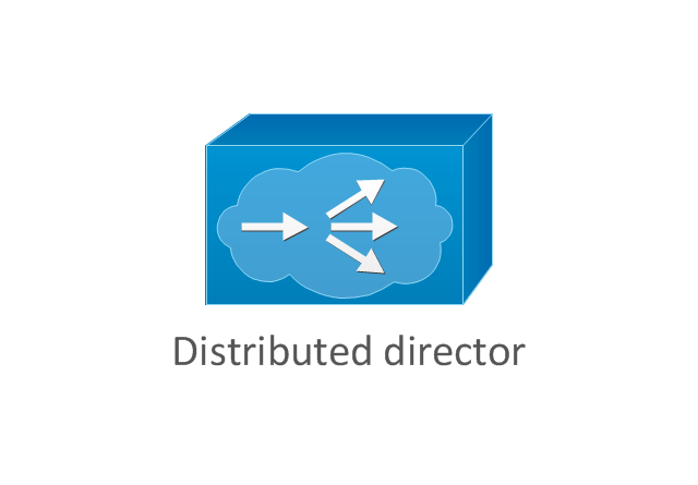
Distributed director
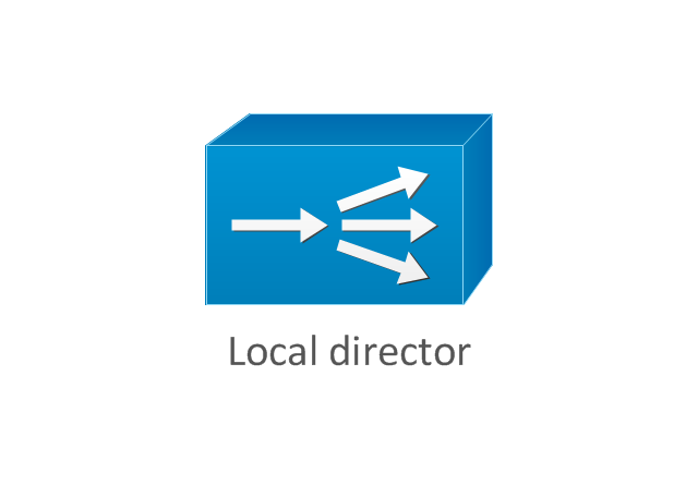
Local director
PBX
DPT
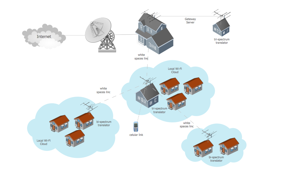
Metropolitan area networks (MAN). Computer and Network Examples
. Computer and Network Examples")
- Geography - Vector stencils library | How to Draw a Natural ...
- Geography - Vector stencils library | Metropolitan area networks ...
- Geography - Vector stencils library
- How To Use Stencil In Geography
- Geography - Vector stencils library | Design elements - Geography ...
- Design elements - Geography | Geography - Vector stencils library ...
- Geography - Vector stencils library | Cisco Products Additional ...
- Geography - Vector stencils library | ConceptDraw Solution Park ...
- Use Of Stencil In Geography
- Geography - Vector stencils library | Map Software | How to Draw a ...
- Geography - Vector stencils library | Buildings and green spaces ...
- Geography - Vector stencils library | Winter Olympics pictograms ...
- Geography - Vector stencils library | Travel and tourism pictograms ...
- Ski lift in the snow capped mountains | Geography - Vector stencils ...
- Geography - Vector stencils library | How to Draw a Map of North ...
- Geography - Vector stencils library | How To use Landscape Design ...
- Geography - Vector stencils library | Photos Of River Flowing From ...
- Design elements - Geography | Watercraft - Design Elements ...
- Landscape Plan | Geography - Vector stencils library | Design ...
- Geography - Vector stencils library | Mathematics | Picture Graphs ...