HelpDesk
How to Create a Map Depicting the United Kingdom Counties and Regions

Step Area Graph

HelpDesk
How to Draw a Map of North America

Decision Making Software For Small Business

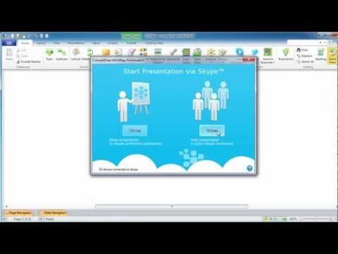
 Business Intelligence Dashboard
Business Intelligence Dashboard solution extends the ConceptDraw DIAGRAM functionality with exclusive tools, numerous ready-to-use vector objects, samples and quick-start templates for creation professional Business Intelligence Dashboards, Business Intelligence Graphics, Business Intelligence Charts and Maps of different kinds. Design easy the BI dashboard, BI model or Dynamic chart in ConceptDraw DIAGRAM to monitor the company's work, to track the indicators corresponding your company's data, to display and analyze key performance indicators, to evaluate the trends and regularities of the processes occurring at the company.
Geo Map — USA — Virginia

Business Mapping Software

HelpDesk
How to Create a Directional Map

HelpDesk
How to Create a SIPOC Diagram

Learn how to create a current state value stream map

 Germany Map
The Germany Map solution contains collection of samples, templates and scalable vector stencil graphic maps, representing map of Germany and all 16 states of Germany. Use the ConceptDraw DIAGRAM diagramming and drawing software makes it possible to create any needed map of Germany from a scratch but using the Germany Map solution may enable any ConceptDraw DIAGRAM user to design it quicker by providing the collection of the pre-made examples, templates of the maps and the vector stencil graphic maps of Germany, including all its 16 states. The Germany Map solution can be used as the base for making various thematic maps that can reflect any needed information concerning Germany by all the ConceptDraw DIAGRAM users.
 UK Map
Making a map of the UK can be as simple as to create any other needed drawing by using the pre-made examples and templates from the Map of UK solution. The last-mentioned application may increase the opportunities for all users of the ConceptDraw DIAGRAM charting and drawing software by providing the collection of the professionally designed samples and vector stencil graphics of the maps which represent the United Kingdom counties, cities, and regions. The Map of UK solution can be used while working in the ConceptDraw DIAGRAM application enabling its users to have the pre-made templates as the base for some other, unique-looking UK maps of many different levels of detail. It is useful for visualizing business and other UK-related thematic information mentioning the UK geographic areas for either reference guides, presentations or other purposes.
Metro Map

Create a Cross-Functional Flowchart

Physical Activity Plan

Business and Finance Illustrations

Map of Germany

HelpDesk
How to Create a Customer Journey Map?

Create Graphs and Charts

Lean Manufacturing Diagrams

- Map of Germany — Bremen - Europe | Regions Of Germany Map
- Marketing | Football | How to Create a Map Depicting the United ...
- Business Process Mapping — How to Map a Work Process | How to ...
- Flowchart example - Making breakfast | Business Process Mapping ...
- Management | Business Productivity Area | Quality Mind Map ...
- Design elements - Thematic maps | How to Create a Directional Map ...
- Positioning map | Marketing | How to Create a Map Depicting the ...
- Concept Mapping | Concept Maps | How To Create a Concept Map ...
- How to Create a Map Depicting the United Kingdom Counties and ...