Defensive Formation – 4-3 Defense Diagram

Offensive Strategy – Spread Offense Diagram

Geo Map - South America - Brazil

The vector stencils library "Cisco" contains 27 icons of Cisco telecommunication devices: wireless bridge, access point, antenna, wireless internet video camera, telepresence system, IP video phone, video conferencing system.
Use it for drawing computer network diagrams and equipment layouts.
"Cisco Systems, Inc. is an American multinational corporation headquartered in San Jose, California, that designs, manufactures, and sells networking equipment. ... Cisco's products and services focus upon three market segments - Enterprise and Service Provider, Small Business and the Home." [Cisco Systems. Wikipedia]
The clip art example "Cisco - Vector stencils library" was created using the ConceptDraw PRO diagramming and vector drawing software extended with the Telecommunication Network Diagrams solution from the Computer and Networks area of ConceptDraw Solution Park.
Cisco Aironet 1410 wireless bridge with antenna
Cisco Aironet 1300 series outdoor access point or bridge with antenna

Cisco Aironet 1232 Access Point AP1200
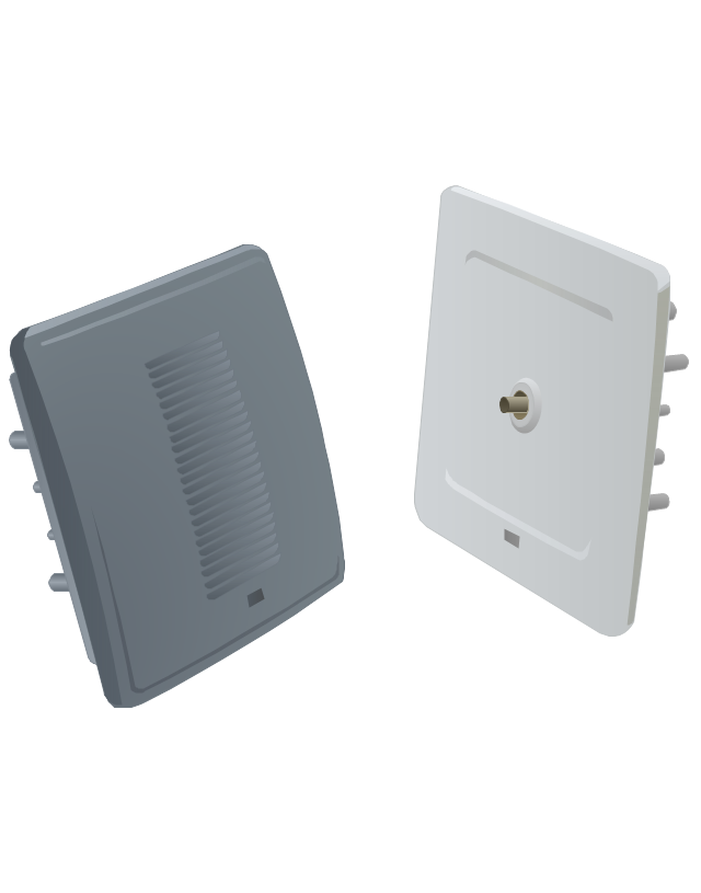
Cisco Aironet 1200 AP access point.
Cisco Aironet AIR-AP1231G-A-K9 access point
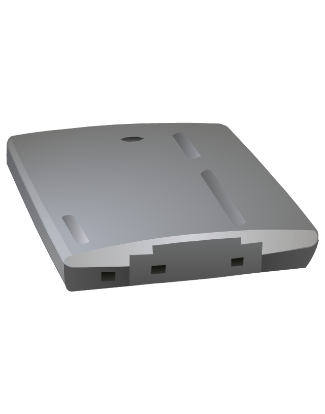
Cisco Aironet 1120 access point

Cisco Aironet AP antenna ANT1729

Cisco Aitonet AP antenna ANT2012

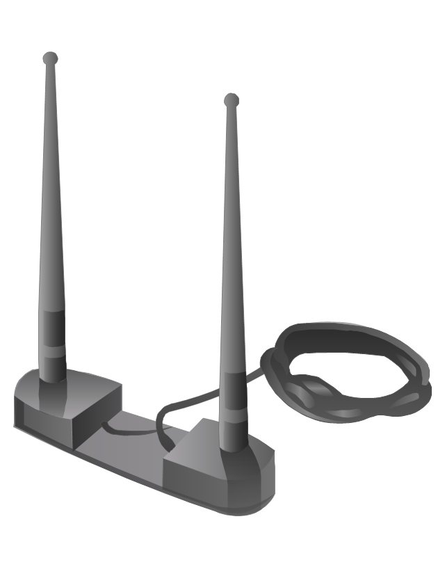
Cisco Aironet network adaptor antenna
Cisco WVC210 wireless video camera (front)
-cisco---vector-stencils-library.png--diagram-flowchart-example.png)
Cisco WVC210 wireless video camera (bottom)
-cisco---vector-stencils-library.png--diagram-flowchart-example.png)
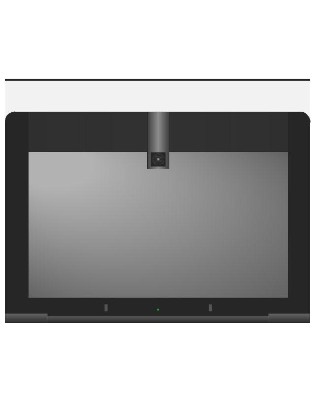
Cisco TelePresence System 1100
Cisco TelePresence System 1300-47 (front)
-cisco---vector-stencils-library.png--diagram-flowchart-example.png)
Cisco TelePresence System 1300-47 (Rear)
-cisco---vector-stencils-library.png--diagram-flowchart-example.png)
Cisco TelePresence System 1300-65 (front)
-cisco---vector-stencils-library.png--diagram-flowchart-example.png)
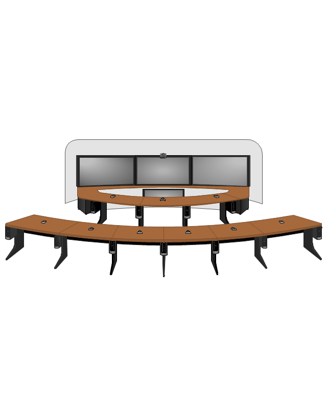
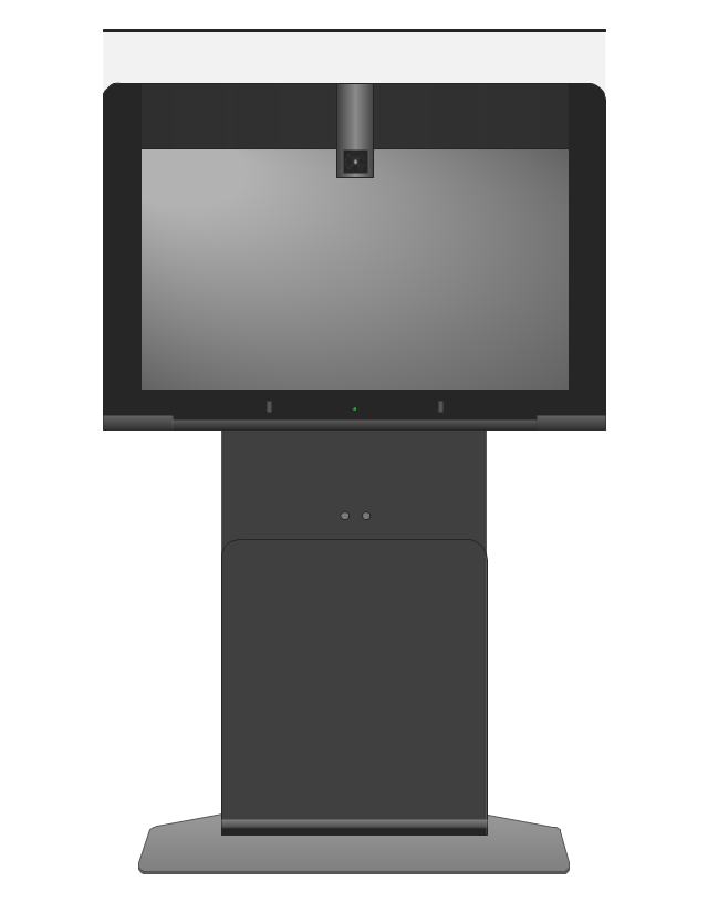
Cisco TelePresence System 3010
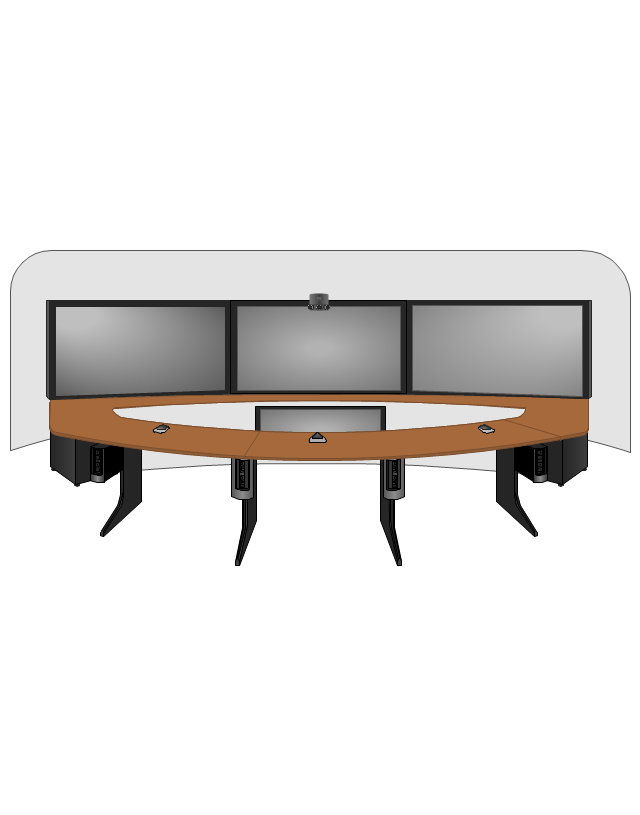
Cisco TelePresence System 3210
Cisco IP Video Phone E20 (front)
-cisco---vector-stencils-library.png--diagram-flowchart-example.png)
Cisco TelePresence System 500-32 (front)
-cisco---vector-stencils-library.png--diagram-flowchart-example.png)
Cisco EX60 Video Conferencing System (front)
-cisco---vector-stencils-library.png--diagram-flowchart-example.png)
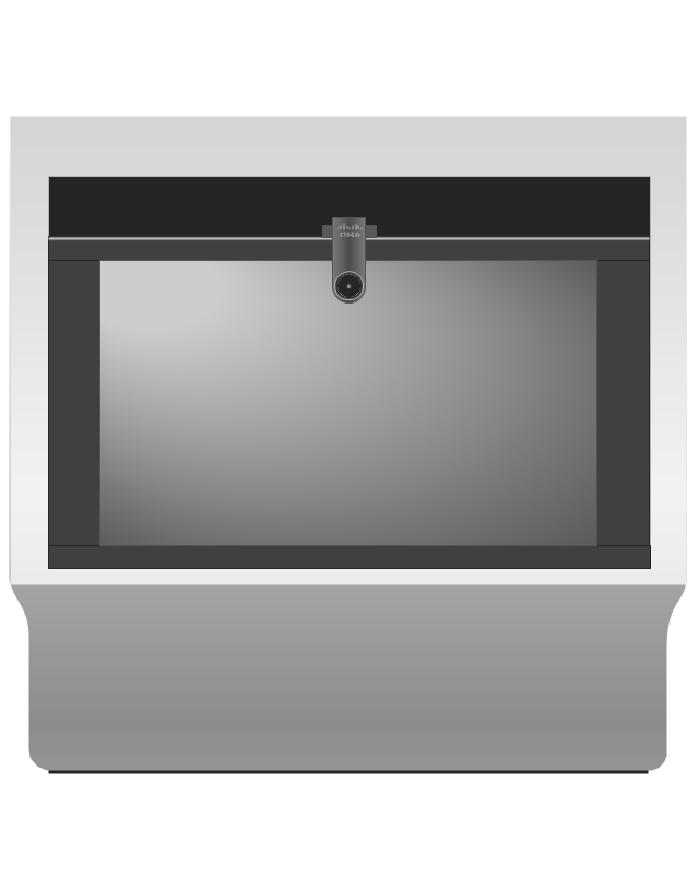
Cisco EX90 Video Conferencing System (Front)
-cisco---vector-stencils-library.png--diagram-flowchart-example.png)
Cisco TelePresence System 1000 MXP (Front)
-cisco---vector-stencils-library.png--diagram-flowchart-example.png)
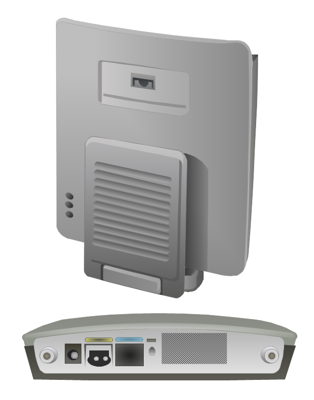
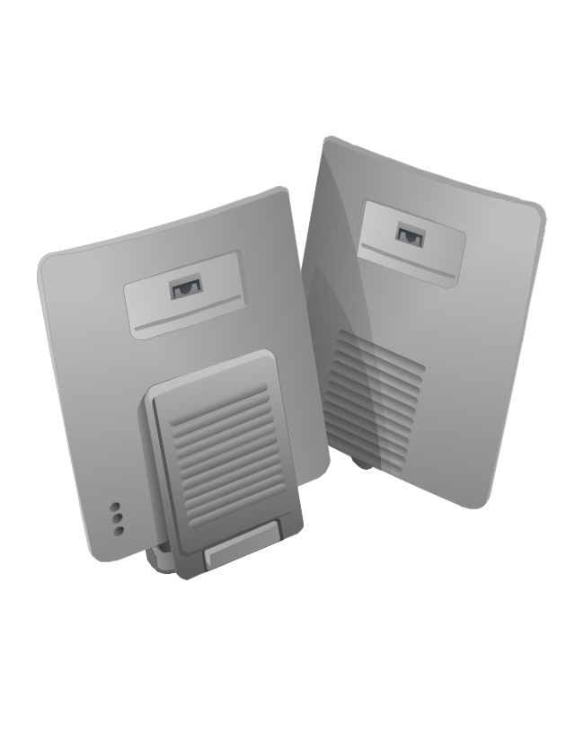
Cisco TelePresence System 500-37 pedestal
Cisco TelePresence System 500-37 wall
Cisco TelePresence 1700 MXP (front)
-cisco---vector-stencils-library.png--diagram-flowchart-example.png)
Cisco TelePresence System MX200 42-inch (front)
-cisco---vector-stencils-library.png--diagram-flowchart-example.png)
Cisco TelePresence System MX300 55-inch (front)
-cisco---vector-stencils-library.png--diagram-flowchart-example.png)
Geo Map - South America Continent

Ice Hockey Diagram – Defensive Strategy – Neutral Zone Trap

Geo Map - South America - Peru

HelpDesk
How to Change Measurement Units in ConceptDraw Drawing

Ice Hockey Rink Dimensions

Geo Map - South America - Suriname

 Continent Maps
Continent Maps solution extends ConceptDraw PRO software with templates, samples and libraries of vector stencils for drawing the thematic maps of continents, state maps of USA and Australia.
Geo Map - South America - Guyana

Geo Map - South America - Paraguay

Geo Map of Americas

Ansoff Matrix

- Entity-Relationship Diagram (ERD) | Football | Er Schema For ...
- Offensive Strategy – Spread Offense Diagram | Defensive Strategy ...
- Telecommunication Network Diagrams | Telecommunication ...
- Network Diagramming Software for Design Cisco Network Diagrams ...
- ConceptDraw PRO Network Diagram Tool | Design Element: Rack ...
- American Football Ground Diagram
- Draw An Example Of A Corporate Strategy
- Offensive Play – Double Wing Wedge – Vector Graphic Diagram ...
- Soccer (Football) Diagram Software | Football | Soccer (Football ...
- 3-4 Defense Diagram | Soccer (Football) Diagram Software | Soccer ...
- | | | American Football Field
- Storage area networks (SAN). Computer and Network Examples ...
- Network Diagramming Software for Design Cisco Network Diagrams ...
- 3-4 Defense Diagram
- Cisco Network Diagrams | Cisco Network Topology. Cisco icons ...
- SWOT Matrix Template | Defensive Strategy Diagram – 46 Defence ...
- Total value of manufacturers' shipments - Arrow graph ...
- Abc Corporate Flow Chart
- (Football) Positions
- Cisco Network Topology. Cisco icons, shapes, stencils and symbols ...