The vector stencils library "North America" contains 70 contours for drawing thematic maps of North America in spatial infographics.
Use it for visual representation of geospatial information, statistics and quantitative data in the ConceptDraw PRO diagramming and vector drawing software extended with the Spatial Infographics solution from the area "What is Infographics" of ConceptDraw Solution Park.
Use it for visual representation of geospatial information, statistics and quantitative data in the ConceptDraw PRO diagramming and vector drawing software extended with the Spatial Infographics solution from the area "What is Infographics" of ConceptDraw Solution Park.
North America

Greenland (Denmark)
-north-america---vector-stencils-library.png--diagram-flowchart-example.png)
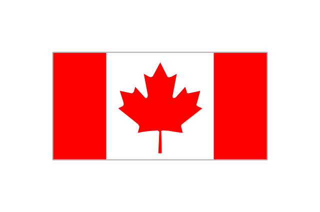
Canada

Canada (provinces and territories)
-north-america---vector-stencils-library.png--diagram-flowchart-example.png)
Alberta

British Columbia

Manitoba

New Brunswick

Newfoundland and Labrador

Northwest Territories

Nova Scotia

Nunavut

Ontario

Prince Edward Island

Quebec

Saskatchewan

Yukon

USA

US states

Alabama

Alaska

Arizona

Arkansas

California

Colorado

Connecticut

Delaware

Florida

Georgia

Hawaii

Idaho

Illinois

Indiana

Iowa

Kansas

Kentucky

Louisiana

Maine

Maryland

Massachusetts

Michigan

Minnesota

Mississippi

Missouri

Montana

Nebraska

Nevada

New Hampshire

New Jersey

New Mexico

New York

North Carolina

North Dakota

Ohio

Oklahoma

Oregon

Pennsylvania

Rhode Island

South Carolina

South Dakota

Tennessee

Texas

Utah

Vermont

Virginia

Washington

West Virginia

Wisconsin

Wyoming

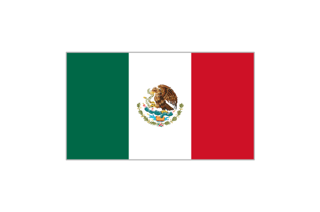
Mexico

Geo Map of Americas

Geo Map - Europe - Norway

Geo Map - Europe - Denmark

Geo Map - World

Types of Map - Overview

Map Software

Continents Map

Map of Germany

Geo Mapping Software Examples - World Map Outline

Geo Map Software

HelpDesk
How to Draw a Map of North America Using ConceptDraw PRO

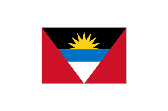
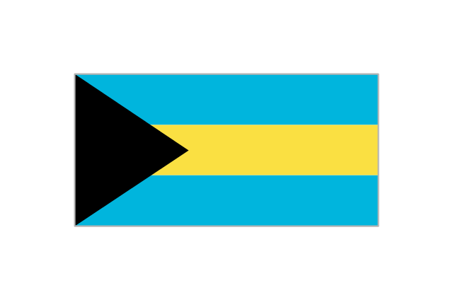
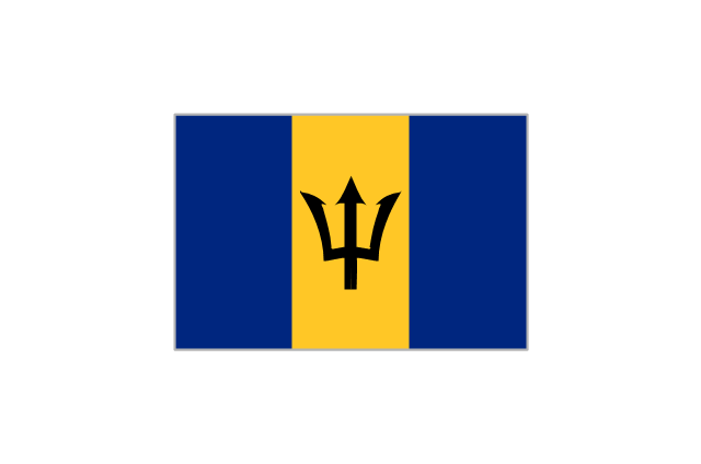
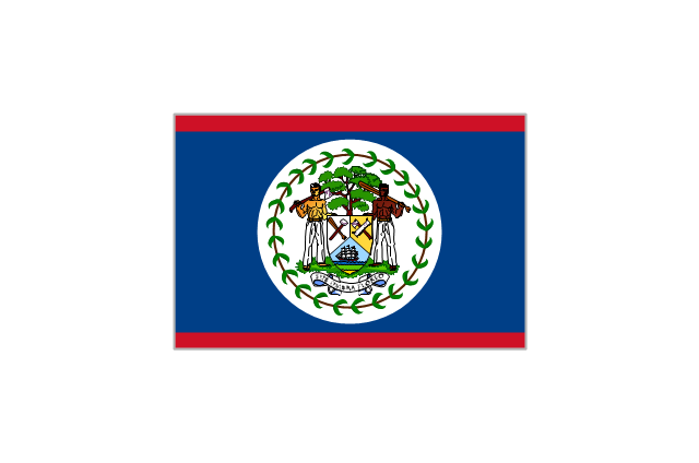
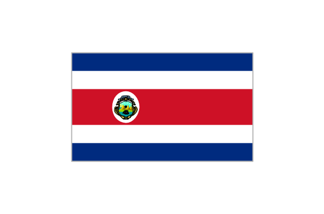
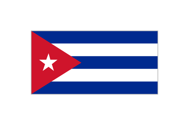
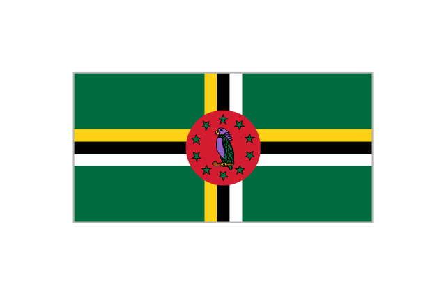
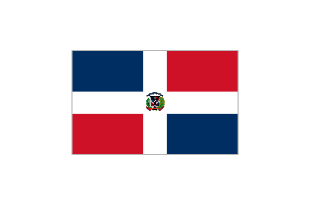
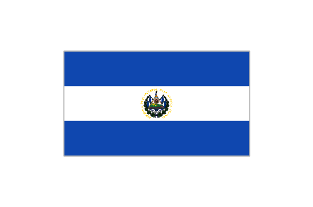
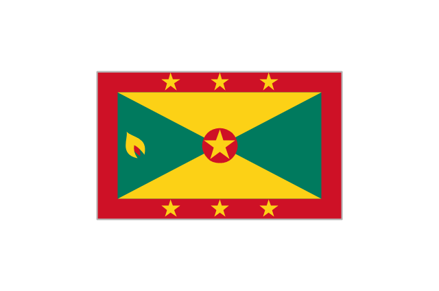
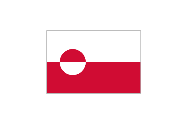
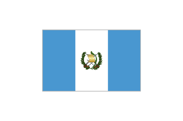
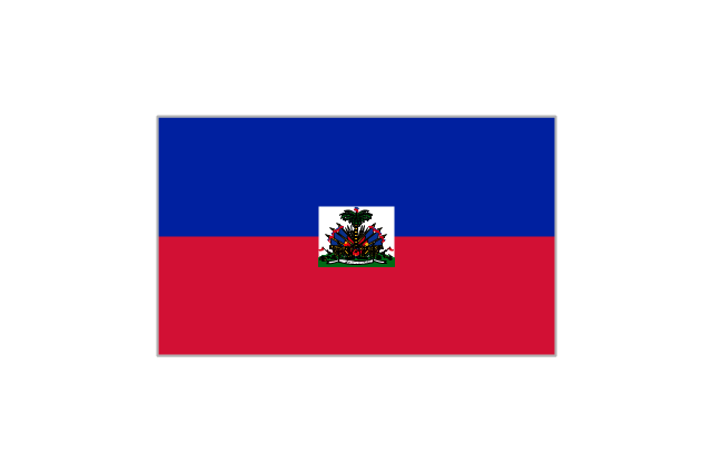
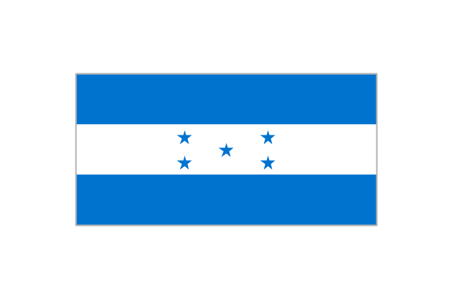
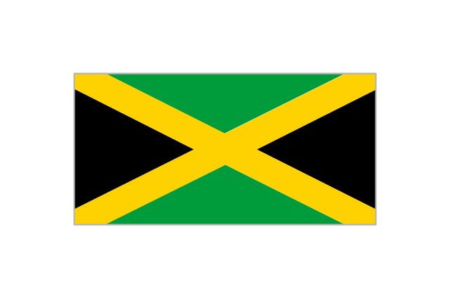
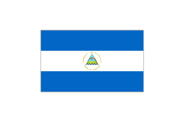
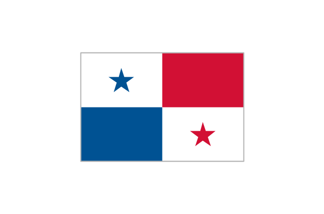
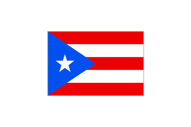
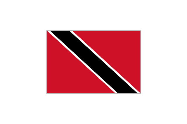
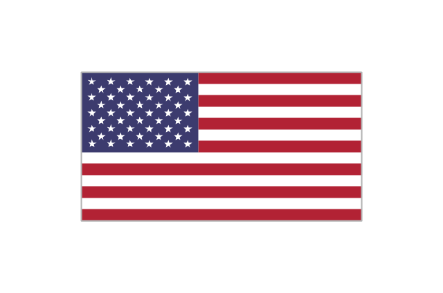
The vector stencils library "North and Central America country flags" contains 26 clipart images of North and Central American state flags. Use the North and Central American country flags clip art to illustrate your business documents, presentation slides, web pages, geo maps and infographics. The clip art example "North and Central America country flags - Vector stencils library" was created using the ConceptDraw PRO diagramming and vector drawing software extended with the Artwork solution from the Illustration area of ConceptDraw Solution Park.
Antigua and Barbuda
Bahamas
Barbados
Belize
Canada
Costa Rica
Cuba
Dominica
Dominican Republic
El Salvador
Grenada
Greenland
Guatemala
Haiti
Honduras
Jamaica
Mexico
Nicaragua
Panama
Puerto Rico
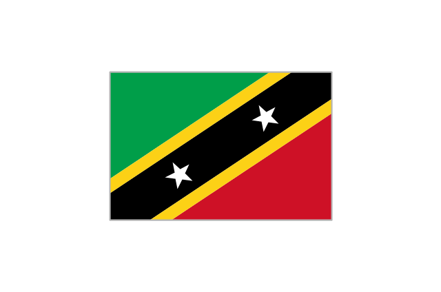
St. Kitts and Nevis
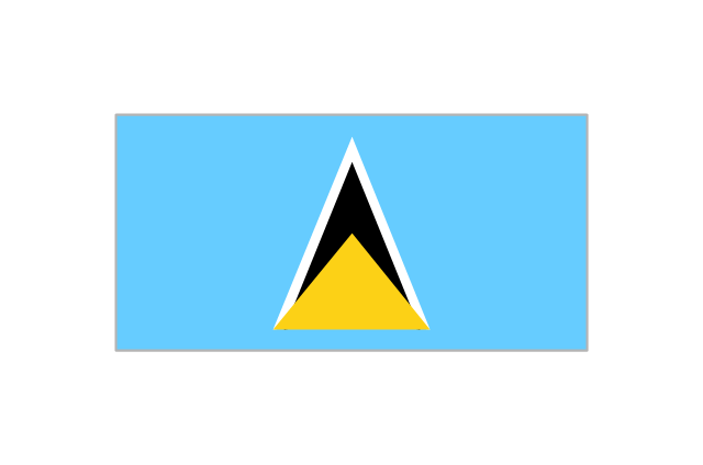
St. Lucia
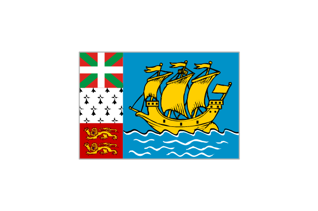
St. Pierre and Miquelon
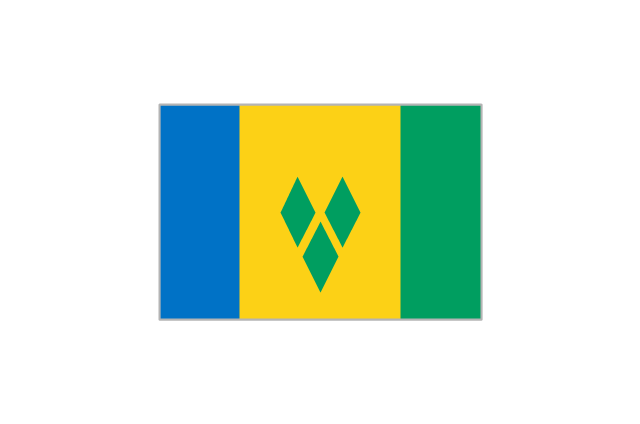
St. Vincent and the Grenadines
Trinidad and Tobago
United States
 Education Package
Education Package is a comprehensive set of multifarious graphical solutions from ConceptDraw Solution Park, collected together in help to ConceptDraw PRO users working in a field of science, education and training, which is aimed at improving the quality of education and helping to design with ease variety of interesting and colorful educational materials, diagrams, charts and maps. Use it to present the information and knowledge in an interesting, clear, structured and simple form to achieve a success in education and pedagogy, to maintain the interest of students and pupils throughout the whole learning process, at the lectures, lessons and even during independent work with additional materials, to contribute to better perception of scientific information by listeners during the conferences and reports.
Use this template of North America map with contours of North American countries, capitals and main cities to design your political or thematic map. This North America map template for the ConceptDraw PRO diagramming and vector drawing software is included in the Continent Maps solution from the Maps area of ConceptDraw Solution Park.
North America map template

- North America - Vector stencils library | North America map with ...
- Canada The United States And Greenland Political Map Nova Scotia
- Geo Map - Canada - Newfoundland and Labrador | North America ...
- Geo Map - South America Continent | North America - Vector ...
- Geo Map - USA - North Carolina
- Geo Map - South America Continent | North America - Vector ...
- North America - Vector stencils library | Geo Map - United States of ...
- North America - Vector stencils library | Geo Map - Canada | Geo ...
- Minnesota measures - Infogram | Geo Map - USA - Minnesota ...
- Geo Map - Canada - New Brunswick | Canada - Vector stencils ...
- Geo Map - Canada - Northwest Territories | Canada - Vector stencils ...
- Continent Maps | North America - Vector stencils library | Map of ...
- North America - Vector stencils library | Geo Map - South America ...
- Geo Map - USA - Maryland | North America - Vector stencils library ...
- North America - Vector stencils library | Simple Map Of Newfoundland
- Geo Map - Canada - Northwest Territories | Geo Map - USA - Alaska ...
- Geo Map - USA - Maine | North America - Vector stencils library ...
- Geo Map - USA - Kentucky | North America - Vector stencils library ...
- Canada regions - Political map | Geo Map - World | North America ...
- Geo Map - USA - Utah | North America - Vector stencils library ...