Building Drawing Software for Design Site Plan


 Site Plans
The Site Plans solution extends ConceptDraw DIAGRAM with samples, templates and numerous libraries of design elements making it powerful site plan software, ideal for landscape drawing, designing Site Plans, Site Layout Plans, Landscape Design Drawings, Home Site Plans, Hotel Site Plans, Park Site Plans, for developing the residential and commercial landscape design drawings and site plan, parks planning, landscaping territories, lighting trails, for creating drainage facilities, yard layouts, plant maps, outdoor recreational facilities, and irrigation systems plans.
Site Plan

Road Transport - Design Elements
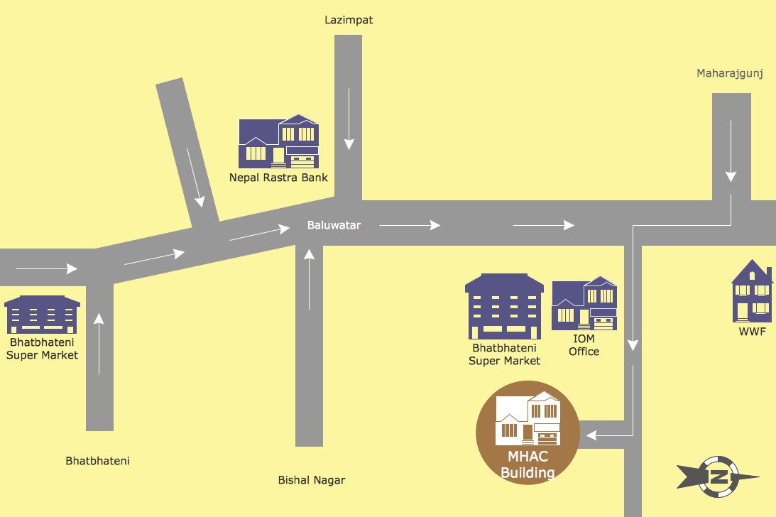
Map Directions
Building Drawing. Design Element Site Plan
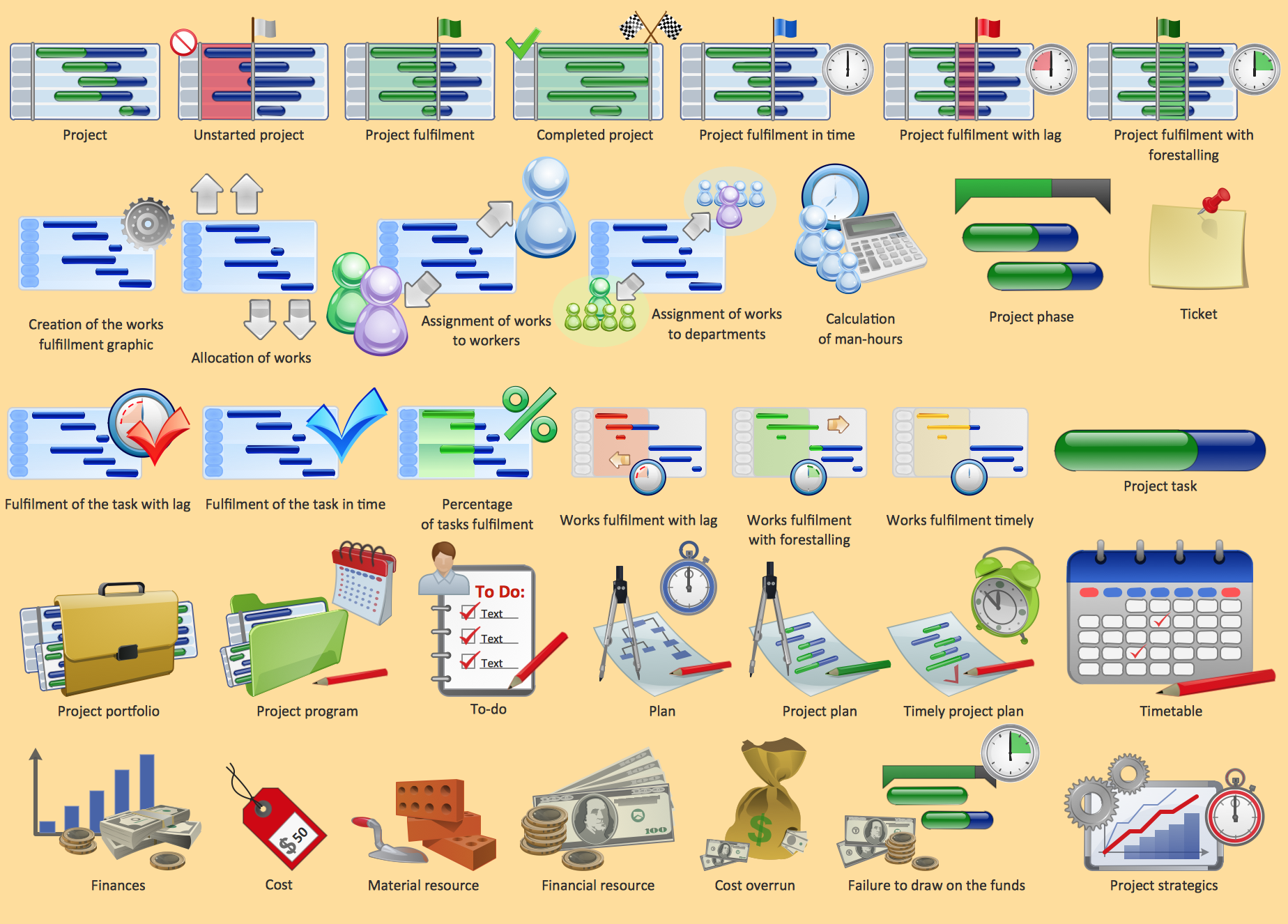
Project management - Design Elements
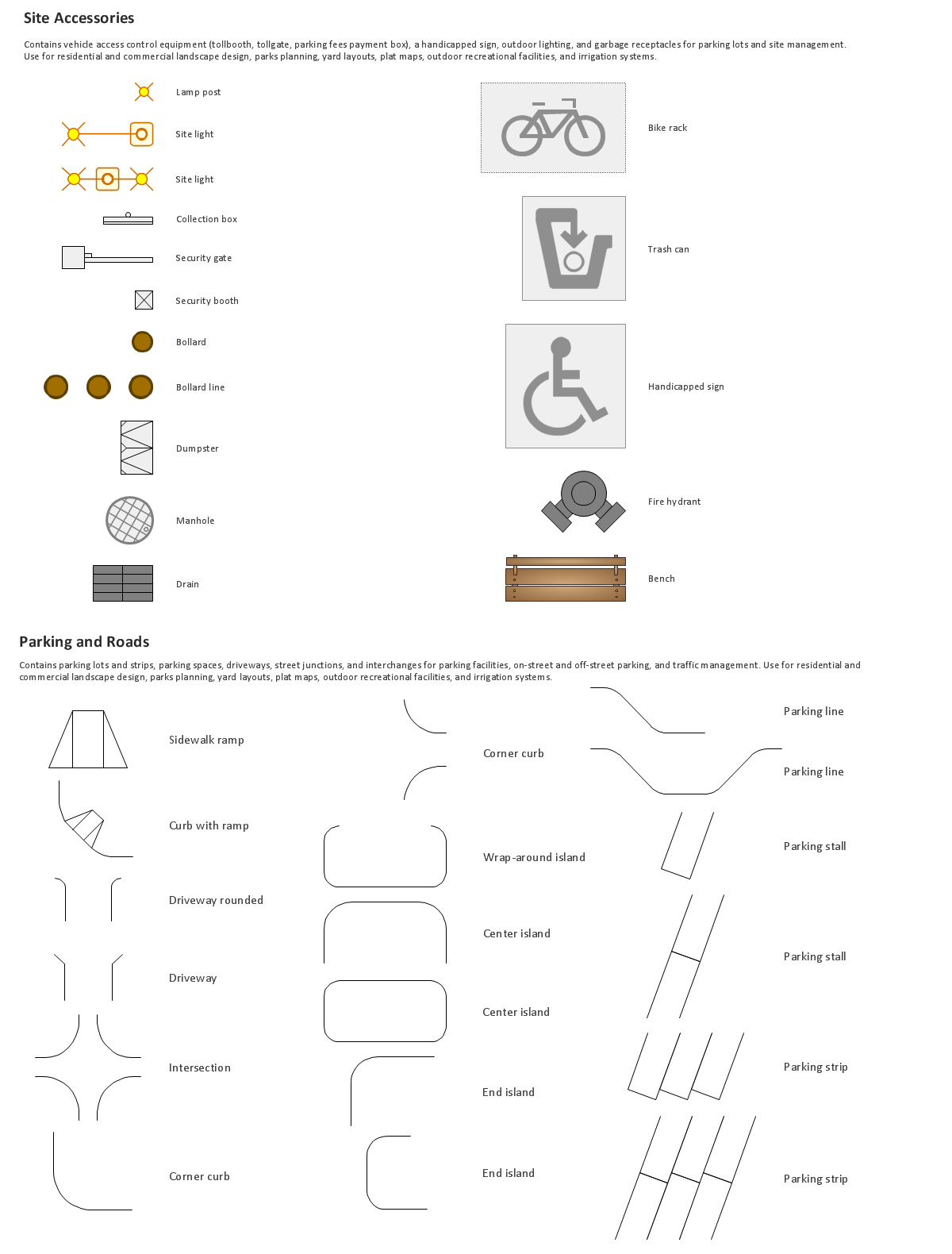
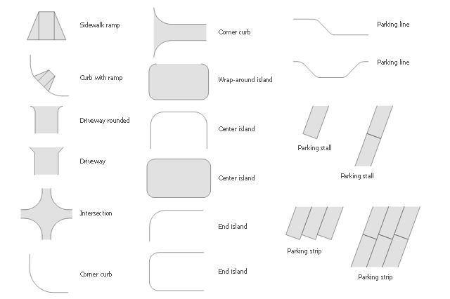
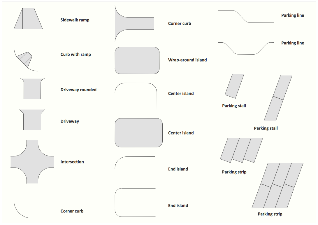
The vector stencils library Parking and roads contains 18 symbols of parking lots and strips, parking spaces, driveways, street junctions, and interchanges for parking facilities, on-street and off-street parking, and traffic management.
"A parking space is a location that is designated for parking, either paved or unpaved.
Parking spaces can be in a parking garage, in a parking lot or on a city street. It is usually designated by a white-paint-on-tar rectangle indicated by three lines at the top, left and right of the designated area. The automobile fits inside the space, either by parallel parking, perpendicular parking or angled parking." [Parking space. Wikipedia]
Use the design elements library Parking and roads to draw residential and commercial landscape design, parks planning, yard layouts, plat maps, outdoor recreational facilities, and irrigation systems using the ConceptDraw PRO diagramming and vector drawing software.
The shapes library Parking and roads is contained in the Site Plans solution from the Building Plans area of ConceptDraw Solution Park.
Interior Design. Site Plan — Design Elements
 Maps
Maps
This solution extends ConceptDraw DIAGRAM.4 with the specific tools necessary to help you draw continental, directional, road, or transit maps, to represent international, business, or professional information visually.
HelpDesk
How to Create a Directional Map

How to Draw a Landscape Design Plan
Brilliant Examples of Infographics Map, Transport, Road
Transportation Infographics
 Maps Area
Solutions from the Maps Area of ConceptDraw Solution Park collect templates, samples and libraries of vector stencils for drawing geographical, directional and transport maps.
- Software To Draw Plan And Road Map
- Building Drawing Software for Design Site Plan | Road Transport ...
- Site Plans | Building Drawing Software for Design Site Plan | Road ...
- Road Transport - Design Elements | Building Drawing Software for ...
- Road Transport - Design Elements | Building Drawing Software for ...
- Directional Map Drawing Software
- Directions Maps | Maps and Directions | Maps | 3d Drawing Maps
- Site Plans | Building Drawing Software for Design Site Plan ...
- Building Drawing Software for Design Site Plan | Landscape ...
- Building Drawing Software for Design Site Plan | Site Plan | Interior ...
- Design elements - Road signs | Interior Design Site Plan - Design ...
- 3D pictorial street map | 3D pictorial road map | How To Create ...
- Building Drawing Design Element Site Plan | Design elements ...
- Design elements - Road signs | Road Transport - Design Elements ...
- Directional Maps | Tree Road In 3d To Draw
- Fire Exit Plan . Building Plan Examples | Basic Flowchart Symbols ...
- 3d Neighborhood Plan Drawing
- Building Drawing Software for Design Site Plan | Interior Design Site ...
- Building Drawing Design Element Site Plan | Building Drawing ...
- Interior Design Site Plan - Design Elements | Building Drawing ...