 Australia Map
For graphic artists creating accurate maps of Australia. The Australia Map solution - allows designers to map Australia for their needs, offers a collection of scalable graphics representing the political geography of Australia, split into distinct state
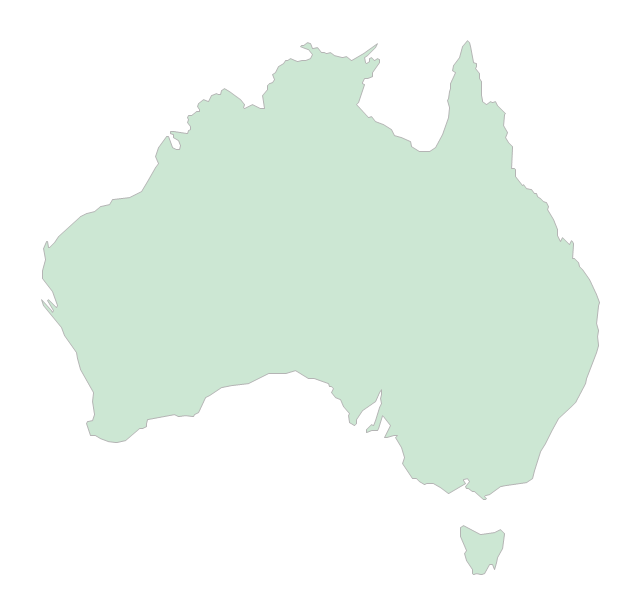
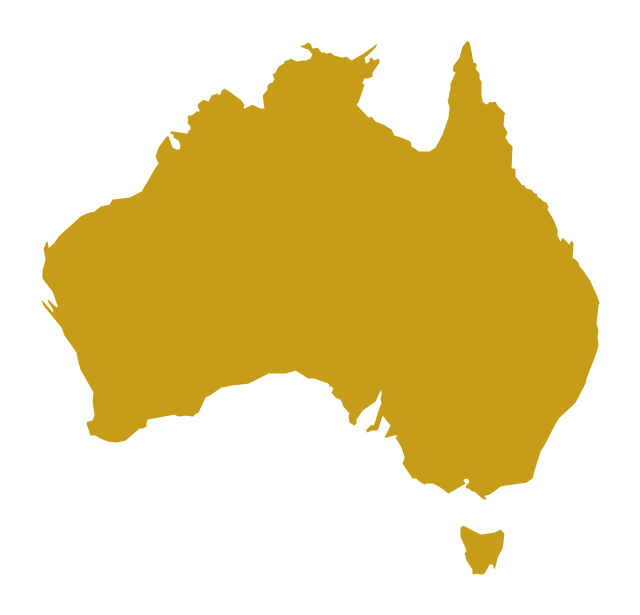
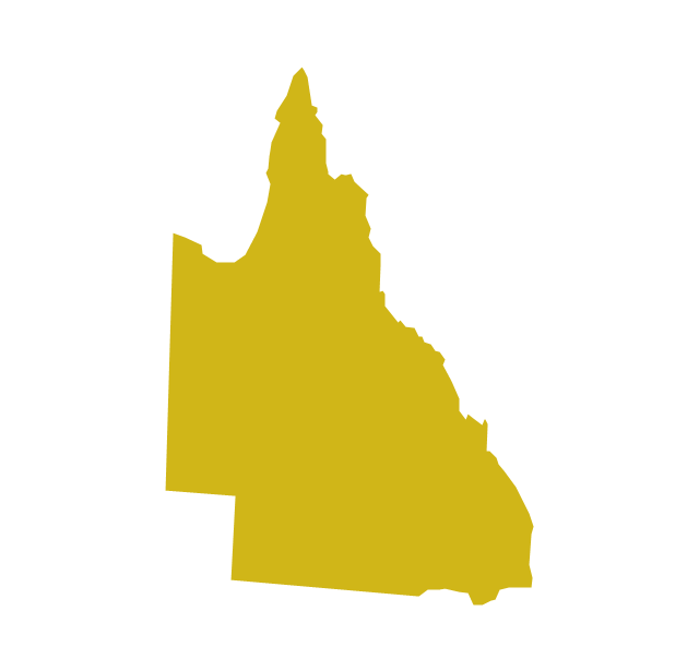
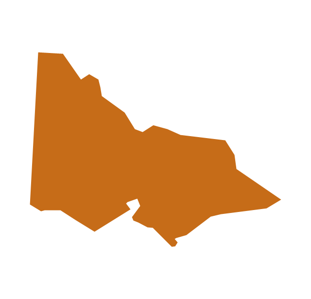
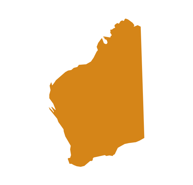
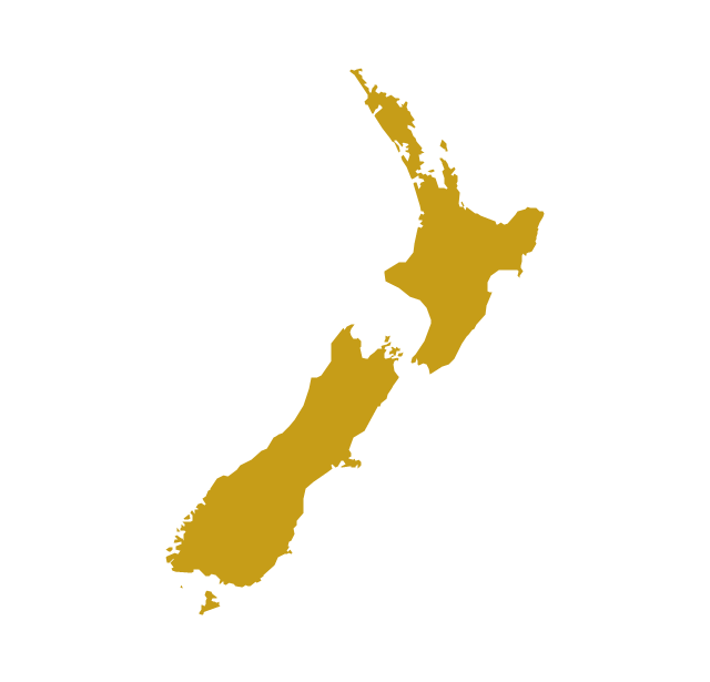
The vector stencils library "Australia" contains 10 Australian states and territories, and New Zealand map contours for drawing thematic maps of Australia and New Zealand. Use it for visual representation of geospatial information, statistics and quantitative data.
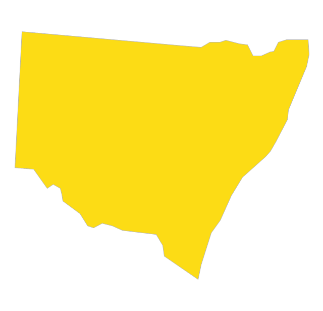
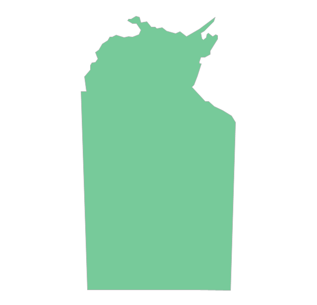
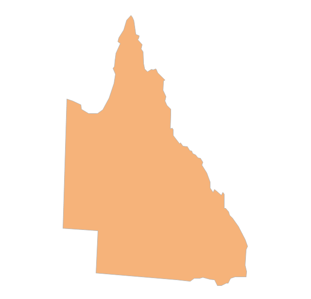
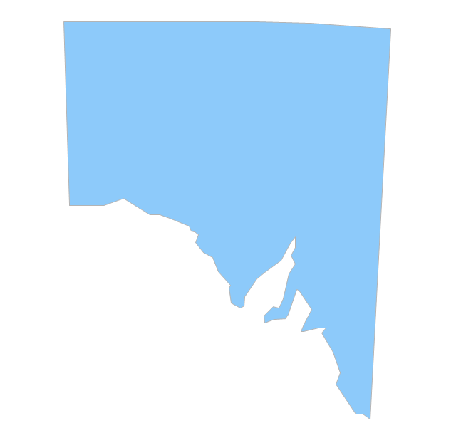
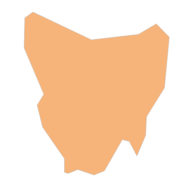
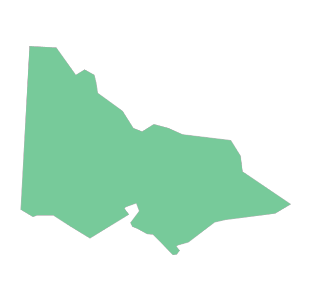
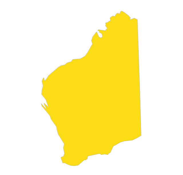
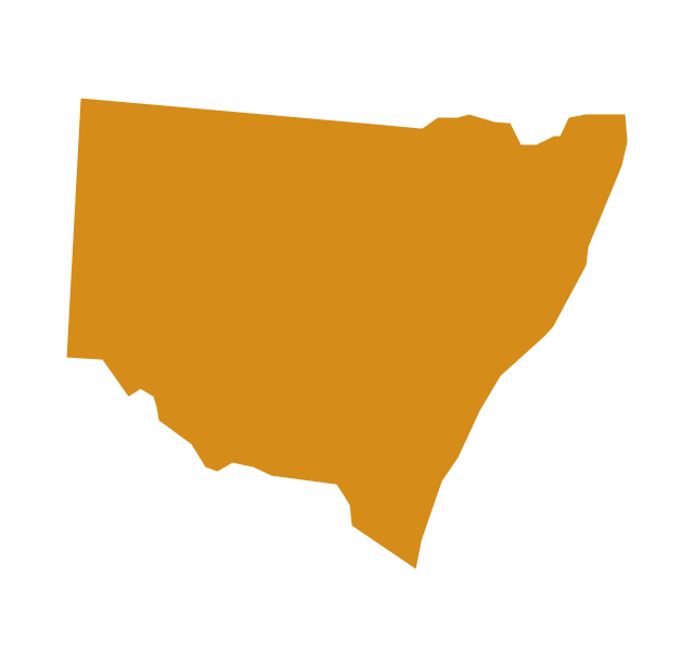
"Australia has six states - New South Wales (NSW), Queensland (QLD), South Australia (SA), Tasmania (TAS), Victoria (VIC) and Western Australia (WA) - and two major mainland territories - the Australian Capital Territory (ACT) and the Northern Territory (NT)." [Australia. Wikipedia]
The map contours example "Australia and New Zealand - Vector stencils library" was created using the ConceptDraw PRO diagramming and vector drawing software extended with the Continent Maps solution from the Maps area of ConceptDraw Solution Park.
Australia
Australia (state)
-australia-and-new-zealand---vector-stencils-library.png--diagram-flowchart-example.png)
New South Wales
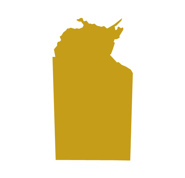
Northern Territory
Queensland
South Australia
Tasmania
Victoria
Western Australia
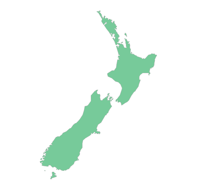
New Zealand
Geo Map - Australia - Nothern Territory

Geo Map - Australia

Geo Map - Australia - South Australia

Geo Map - Australia - Victoria

The vector stencils library "Australia and New Zealand" contains 10 contours for drawing thematic maps of Australia and New Zealand.
Use it in your spatial infographics for visual representation of geospatial information, statistics and quantitative data in the ConceptDraw PRO diagramming and vector drawing software extended with the Spatial Infographics solution from the area "What is Infographics" of ConceptDraw Solution Park.
Use it in your spatial infographics for visual representation of geospatial information, statistics and quantitative data in the ConceptDraw PRO diagramming and vector drawing software extended with the Spatial Infographics solution from the area "What is Infographics" of ConceptDraw Solution Park.
Australia
Australia (states)
-australia-and-new-zealand---vector-stencils-library.png--diagram-flowchart-example.png)
New South Wales
Northern Territory
Queensland
South Australia

Tasmania

Victoria
Western Australia
New Zealand
Geo Map - Australia - New Zealand

Geo Map - World

Geo Map - South America Continent

Geo Map of Americas

Types of Map - Overview

Geo Map - Canada

Continents Map

 UK Map
The Map of UK solution contains collection of professionally designed samples and scalable vector stencil graphics maps, representing the United Kingdom counties, regions and cities. Use the Map of UK solution from ConceptDraw Solution Park as the base fo
- Northern Territory Outline
- Geo Map - Australia - New Zealand | Map Software | Australia and ...
- Australia New Zealand Map Outline
- South Australia Map Outline
- Outline Map Of Australia And New Zealand
- Australia Map | Australia and New Zealand - Vector stencils library ...
- Australian States Outline Blank
- Outline Of South Australia
- Western Australia Map Outline Png
- Australia and New Zealand - Vector stencils library | Australia and ...
- Australia and New Zealand - Vector stencils library | Australia and ...
- Geo Map - Australia - New South Wales | Australia Map | Geo Map ...
- Map Of Australia Tasmania And New Zealand
- Map Of Australia And Newzealand
- Map Of Australia And New Zealand
- Geo Map - Australia - New Zealand
- Geo Map - Australia - New Zealand
- Geo Map - Australia - Tasmania | Australia Map — Tasmania ...
- Australia With States Vector
- Geo Map - Australia - New South Wales | Australia and New ...