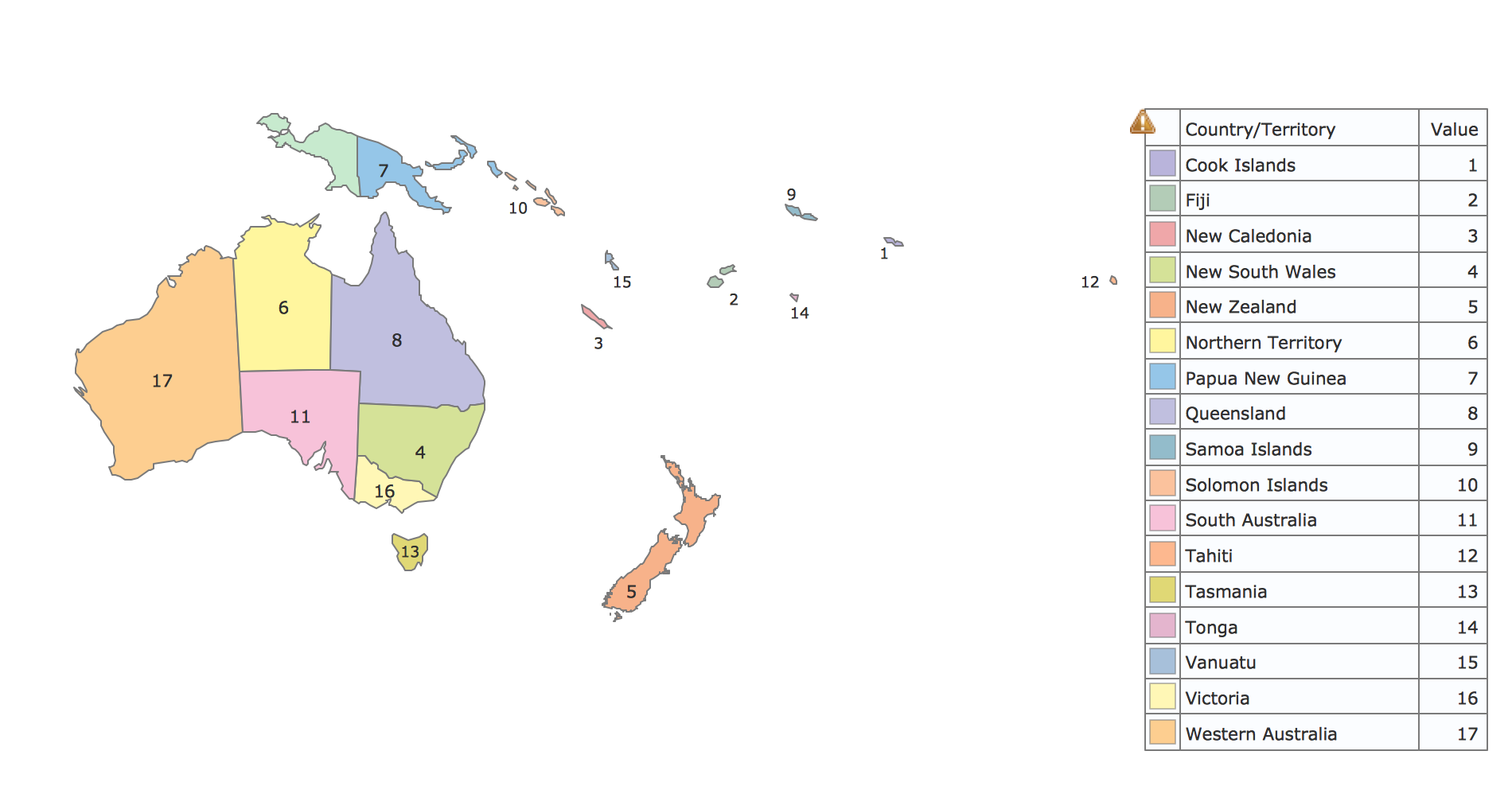
Geo Map - Oceania
The vector stencils library Oceania contains contours for ConceptDraw PRO diagramming and vector drawing software."A thematic map is a type of map or chart especially designed to show a particular theme connected with a specific geographic area. ...
A thematic map is a map that focuses on a specific theme or subject area, whereas in a general map the variety of phenomena - geological, geographical, political - regularly appear together. ...
Thematic maps emphasize spatial variation of one or a small number of geographic distributions. These distributions may be physical phenomena such as climate or human characteristics such as population density and health issues. ...
Thematic map are sometimes referred to as graphic essays that portray spatial variations and interrelationships of geographical distributions. Location, of course, is important to provide a reference base of where selected phenomena are occurring. ...
Thematic maps serve three primary purposes.
First, they provide specific information about particular locations.
Second, they provide general information about spatial patterns.
Third, they can be used to compare patterns on two or more maps." [Thematic map. Wikipedia]
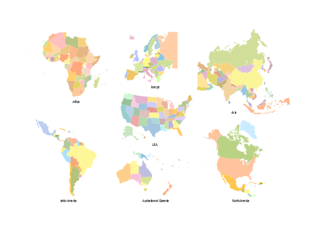
The vector stencils library "Thematic maps" contains 7 continent map contours for creating the thematic maps of geographic regions displaying the metric values by countries, states and territories marked by different colors.
Use the design elements library "Thematic maps" to create spatial dashboards using the ConceptDraw PRO diagramming and vector drawing software for your Spatial Intelligence and Location Intelligence business practice.
The example "Design elements - Thematic maps" is included in the Spatial Dashboard solution from the area "What is a Dashboard" of ConceptDraw Solution Park.
Geo Map - Asia - Papua New Guinea
Papua New Guinea, officially named the Independent State of Papua New Guinea, is a country in Oceania that occupies the eastern half of the island of New Guinea (the western portion of the island is a part of the Indonesian provinces of Papua and West Papua) and numerous offshore islands.The vector stencils library Papua New Guinea contains contours for ConceptDraw PRO diagramming and vector drawing software. This library is contained in the Continent Maps solution from Maps area of ConceptDraw Solution Park.
Geo Map - Asia
ConceptDraw is idea to draw the geological maps of Asia from the pre-designed vector geo map shapes.Use Geo Map Asia to draw thematic maps, geospatial infographics and vector illustrations for your business documents, presentations and websites.
Geo Map - South America - Paraguay
Paraguay, officially the Republic of Paraguay, is a landlocked country in South America, bordered by Argentina to the south and southwest, Brazil to the east and northeast, and Bolivia to the northwest.The vector stencils library Paraguay contains contours for ConceptDraw PRO diagramming and vector drawing software. This library is contained in the Continent Maps solution from Maps area of ConceptDraw Solution Park.
Geo Map - South America Continent
South America includes 12 sovereign states.ConceptDraw PRO is idea to draw the geological maps of South America continent from the pre-designed vector geo map shapes.
Use Continent Maps solution from the Maps area of ConceptDraw Solution Park to draw thematic maps, geospatial infographics and vector illustrations for your business documents, presentations and websites.
Geo Map of Americas
The Americas are the combined continental landmasses of North America and South America, in the Western Hemisphere. There are 35 sovereign states in the Americas.ConceptDraw is idea to draw the geological maps of America from the pre-designed vector geo map shapes and vector images map of america.
Use Continent Maps solution from the Maps area of ConceptDraw Solution Park to draw thematic maps, geospatial infographics and vector illustrations for your business documents, presentations and websites.
Geo Map - USA - Nebraska
Nebraska is a state on the Great Plains of the Midwestern United States.The vector stencils library Nebraska contains contours for ConceptDraw PRO diagramming and vector drawing software. This library is contained in the Continent Maps solution from Maps area of ConceptDraw Solution Park.
Geo Map - South America - Belize
Belize is a country on the northeastern coast of Central America.The vector stencils library Belize contains contours for ConceptDraw PRO diagramming and vector drawing software. This library is contained in the Continent Maps solution from Maps area of ConceptDraw Solution Park.
Geo Map - South America - Guyana
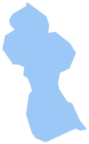
Guyana, officially the Co-operative Republic of Guyana, is a sovereign state on the northern coast of South America.The vector stencils library Guyana contains contours for ConceptDraw PRO diagramming and vector drawing software. This library is contained in the Continent Maps solution from Maps area of ConceptDraw Solution Park.
Geo Map - South America - Puerto Rico
Puerto Rico, officially the Commonwealth of Puerto Rico, is an unincorporated territory of the United States, located in the northeastern Caribbean east of the Dominican Republic and west of both the United States Virgin Islands and the British Virgin Islands.The vector stencils library Puerto Rico contains contours for ConceptDraw PRO diagramming and vector drawing software. This library is contained in the Continent Maps solution from Maps area of ConceptDraw Solution Park.
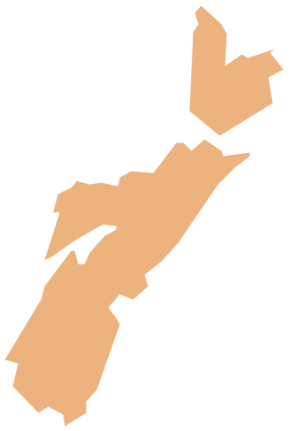
Geo Map - Canada - Nova Scotia
Nova Scotia is one of Canada's three Maritime provinces and constitutes one of the four Atlantic Canada provinces.The vector stencils library Nova Scotia contains contours for ConceptDraw PRO diagramming and vector drawing software. This library is contained in the Continent Maps solution from Maps area of ConceptDraw Solution Park.
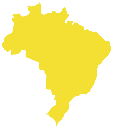
Geo Map - South America - Brazil
Brazi, officially the Federative Republic of Brazil, is the largest country in both South America and the Latin American region.The vector stencils library Brazil contains contours for ConceptDraw PRO diagramming and vector drawing software. This library is contained in the Continent Maps solution from Maps area of ConceptDraw Solution Park.
Geo Map - World
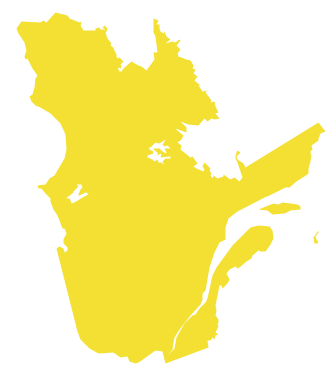
ConceptDraw PRO is idea to draw the geological maps of World from the pre-designed vector geo map shapes.Geo Map - Canada - Quebec
Quebec is a province in east-central Canada.The vector stencils library Quebec contains contours for ConceptDraw PRO diagramming and vector drawing software. This library is contained in the Continent Maps solution from Maps area of ConceptDraw Solution Park.
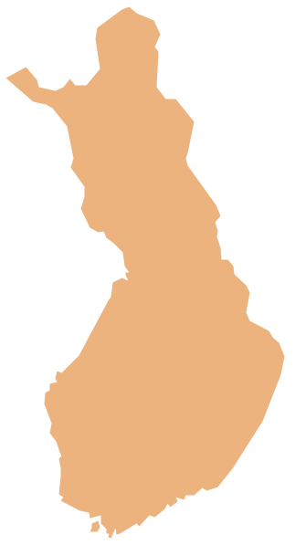
Geo Map - Europe - Finland
The vector stencils library Finland contains contours for ConceptDraw PRO diagramming and vector drawing software. This library is contained in the Continent Maps solution from Maps area of ConceptDraw Solution Park.Geo Map - South America - Ecuador
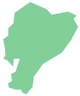
Ecuador, officially the Republic of Ecuador, which literally translates as "Republic of the Equator") is a representative democratic republic in South America, bordered by Colombia on the north, Peru on the east and south, and the Pacific Ocean to the west.The vector stencils library Ecuador contains contours for ConceptDraw PRO diagramming and vector drawing software. This library is contained in the Continent Maps solution from Maps area of ConceptDraw Solution Park.
Geo Map - Europe - Ireland
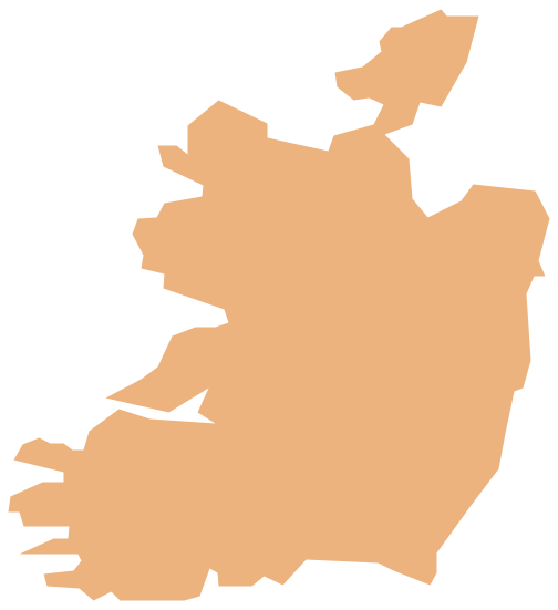
The vector stencils library Ireland contains contours for ConceptDraw PRO diagramming and vector drawing software. This library is contained in the Continent Maps solution from Maps area of ConceptDraw Solution Park.Geo Map - South America - Peru
Peru, officially the Republic of Peru, is a country in western South America.The history of Peru goes back to the distant past and its divided into several main stages. Geography of Peru is also diverse - there is a desert, as well as the ocean coast, and of course the mountain ranges.
The Continent Maps solution from Maps area of ConceptDraw Solution Park provides stencil library Peru, which is made up of well-designed vector shapes delivering easy experience in creating diagrams with ConceptDraw Pro software.
All ConceptDraw PRO documents are vector graphic files and are available for reviewing, modifying, and converting to a variety of formats: image, HTML, PDF file, MS PowerPoint Presentation, Adobe Flash, MS Visio (.VDX, .VSDX).
Geo Map - South America - Panama
Panama, officially Republic of Panama, is the southernmost country of Central America and the whole of North America.The vector stencils library Panama contains contours for ConceptDraw PRO diagramming and vector drawing software. This library is contained in the Continent Maps solution from Maps area of ConceptDraw Solution Park.
- Geo Map - Oceania | Geo Map - Asia - Papua New Guinea | Geo ...
- Geo Map - Oceania - Conceptdraw.com
- What Constitutes a Project? | IDEF9 Standard | Geo Map - Oceania |
- Geo Map - Oceania | Design elements - Thematic maps | Geo Map ...
- Geo Map - Australia
- Geo Map - America
- Geo Map - Australia - New Zealand - Conceptdraw.com
- Geo Map - Africa - Guinea - Conceptdraw.com
- Geo Map - Australia - Conceptdraw.com
- Geo Map - Australia | Continent Maps | Map of median household ...
- Geo Map - Asia
- Geo Map - Australia - Victoria | Geo Map - Asia - Qatar | Geo Map ...
- Design elements - Thematic maps | Australia map template | Europe ...
- Geo Map - Asia
- Map of Australia depicting time zones offsets from UTC by state ...
- Geo Map - Asia - Thailand
- Geo Map - Australia - New Zealand
- Geo Map - South America
- Map of Australia depicting time zones offsets from UTC by state ...
- Geo Map - Australia
