The vector clipart library Geography contains 14 images of geographical features: ocean, forest, river, lake, waterfall, mountains, ravine, volcano, desert, hills, iceberg, trees.
Use the design elements library Geography to draw illustrations with landform images using the ConceptDraw PRO diagramming and vector drawing software.
"A landform in the earth sciences comprises a geomorphological unit, and is largely defined by its surface form and location in the landscape. As part of the terrain a landform is an element of topography. Landform elements also include land such as hills, mountains, plateaus,canyons,valleys, seascape and oceanic waterbody interface features such as bays, peninsulas, seas and so forth, including sub-aqueous terrain features such as mid-ocean ridges, volcanoes,and the great ocean basins." [Landform. Wikipedia]
This landscape illustration example is included in the Nature solution from the Illustration area of ConceptDraw Solution Park.
Vector illustration

The vector stencils library "Geography" contains 14 clipart images of natural landscapes and water features for drawing illustrations.
"A natural landscape is a landscape that is unaffected by human activity. A natural landscape is intact when all living and nonliving elements are free to move and change. The nonliving elements distinguish a natural landscape from a wilderness. A wilderness includes areas within which natural processes operate without human interference, but a wilderness must contain life. As implied, a natural landscape may contain either the living or nonliving or both." [Natural landscape. Wikipedia]
The clip art example "Geography - Vector stencils library" was created using the ConceptDraw PRO diagramming and vector drawing software extended with the Nature solution from the Illustration area of ConceptDraw Solution Park.
www.conceptdraw.com/ solution-park/ illustrations-nature
Ocean

Forest

River

Lake

Waterfall

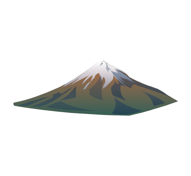
Mountains

Mountain

Ravine

Volcano

Desert

Hills

Iceberg

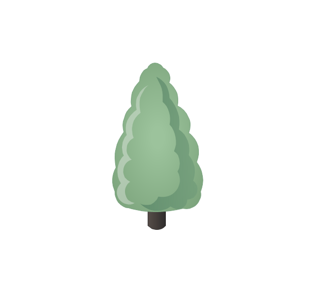
Conifer tree

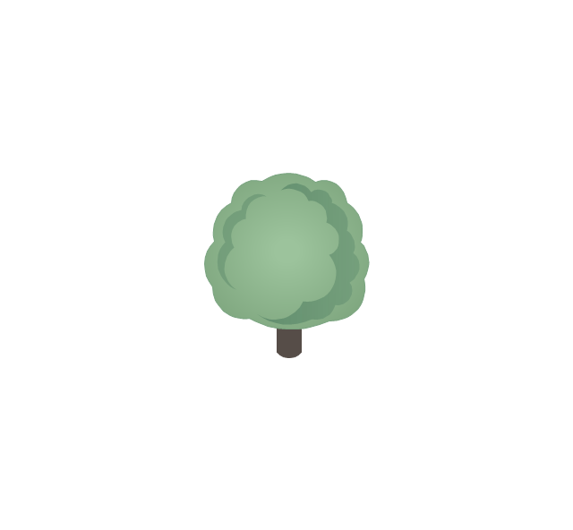
Tree

The vector stencils library "Geography" contains 14 clipart images of natural landscapes and water features for drawing illustrations.
"A natural landscape is a landscape that is unaffected by human activity. A natural landscape is intact when all living and nonliving elements are free to move and change. The nonliving elements distinguish a natural landscape from a wilderness. A wilderness includes areas within which natural processes operate without human interference, but a wilderness must contain life. As implied, a natural landscape may contain either the living or nonliving or both." [Natural landscape. Wikipedia]
The clip art example "Geography - Vector stencils library" was created using the ConceptDraw PRO diagramming and vector drawing software extended with the Nature solution from the Illustration area of ConceptDraw Solution Park.
www.conceptdraw.com/ solution-park/ illustrations-nature
"A natural landscape is a landscape that is unaffected by human activity. A natural landscape is intact when all living and nonliving elements are free to move and change. The nonliving elements distinguish a natural landscape from a wilderness. A wilderness includes areas within which natural processes operate without human interference, but a wilderness must contain life. As implied, a natural landscape may contain either the living or nonliving or both." [Natural landscape. Wikipedia]
The clip art example "Geography - Vector stencils library" was created using the ConceptDraw PRO diagramming and vector drawing software extended with the Nature solution from the Illustration area of ConceptDraw Solution Park.
www.conceptdraw.com/ solution-park/ illustrations-nature
Ocean
Forest
River
Lake
Waterfall
Mountains
Mountain
Ravine
Volcano
Desert
Hills
Iceberg
Conifer tree
Tree
Geo Map - Europe - Portugal

Geo Map - Europe

Geo Map - Europe - Bulgaria

Geo Map - Europe - Russia

Geo Map - Europe - Greece

Geo Map - Europe - Iceland

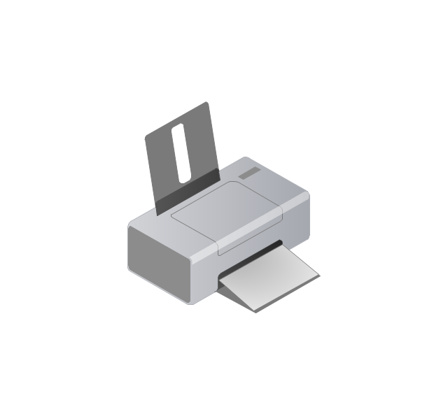
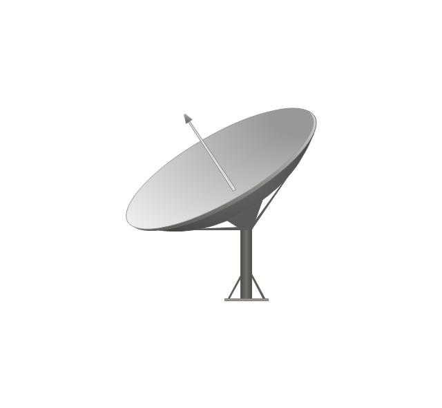
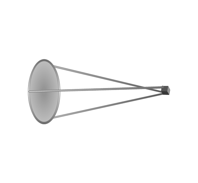
The vector stencils library "Computers and network isometric" contains 56 3D clipart images of computer and network devices and equipment for drawing network diagrams.
The clip art example "Computers and network isometric - Vector stencils library" was created using the ConceptDraw PRO diagramming and vector drawing software extended with the Computer and Networks solution from the Computer and Networks area of ConceptDraw Solution Park.
The clip art example "Computers and network isometric - Vector stencils library" was created using the ConceptDraw PRO diagramming and vector drawing software extended with the Computer and Networks solution from the Computer and Networks area of ConceptDraw Solution Park.
Laptop

DDCS
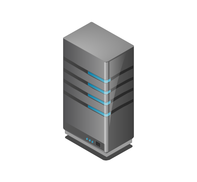
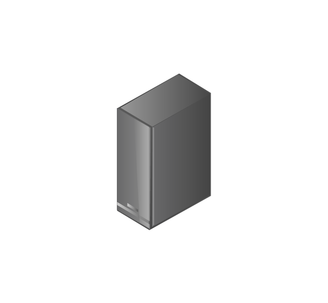
Server
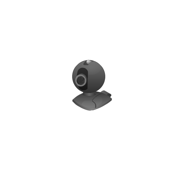
Webcam
Wireless Network Storage
Personal computer

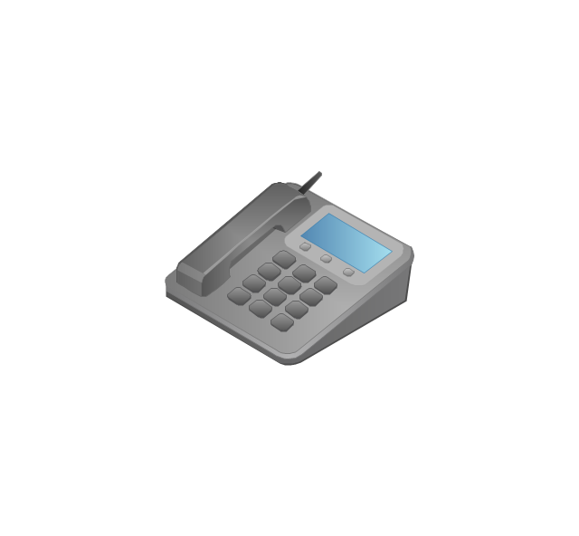
VoIP phone
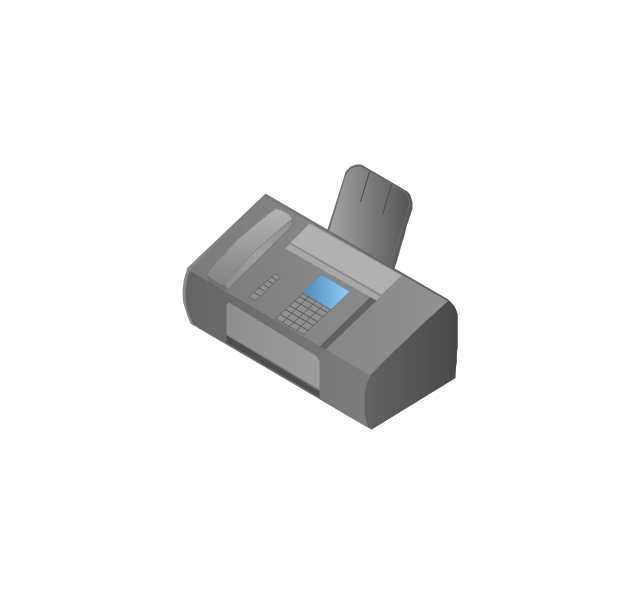
Fax
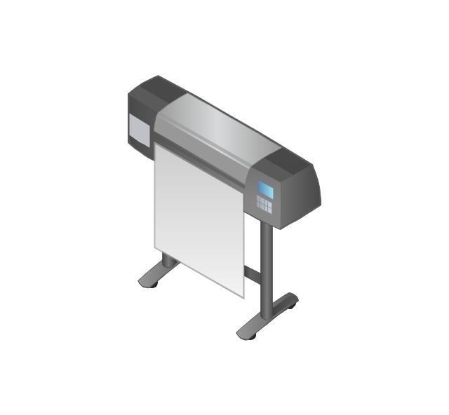
Plotter
Mobile phone
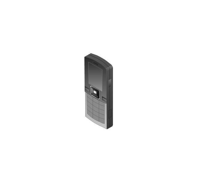
Feature phone

Printer
Satellite dish
Satellite antenna
Automatic-tracking satellite dish
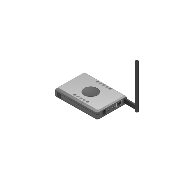
Wireless access point
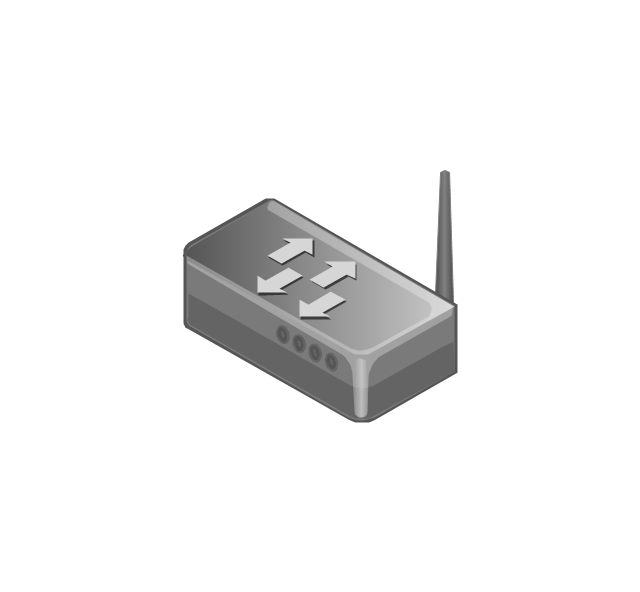
Wireless router
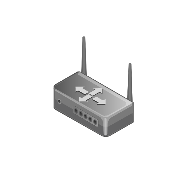
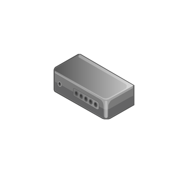
Router
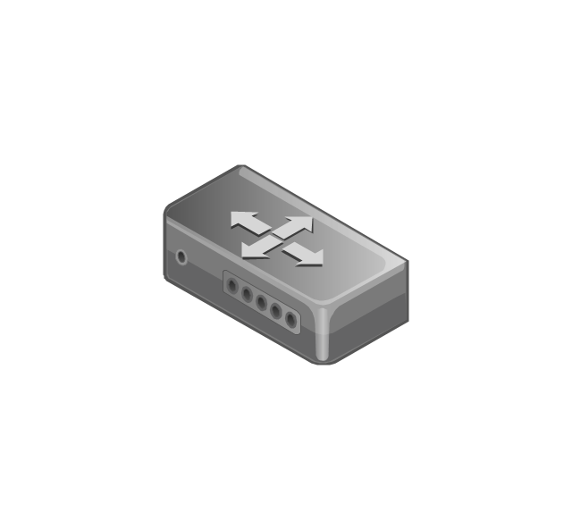
Network switch
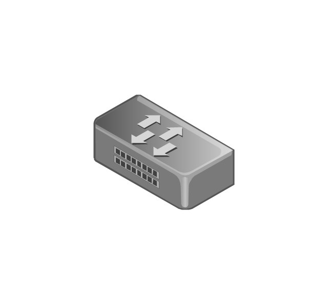
Network device
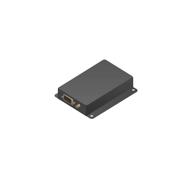
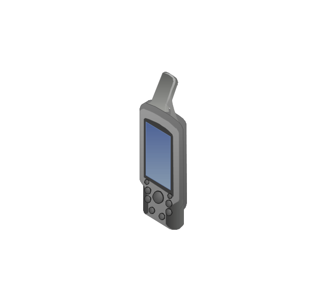
Mobile GPS Terminal
GPS phone
Television antenna
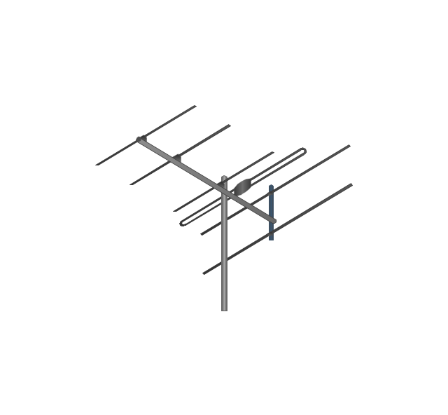
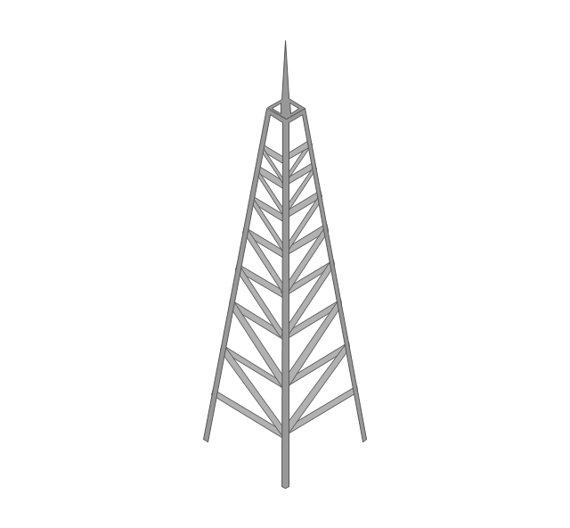
Radio tower
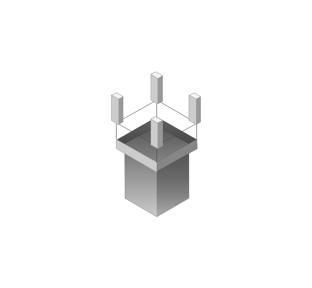
Base station
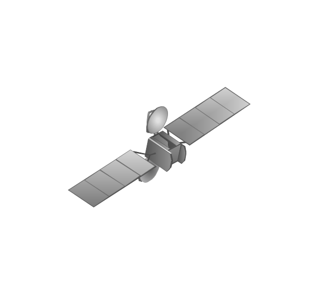
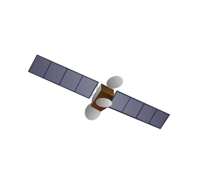
Satellite
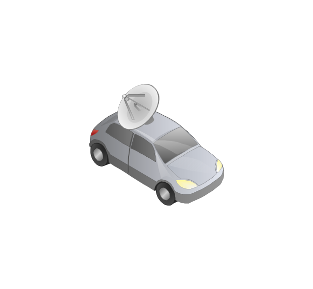
In-vehicle satellite telecommunication
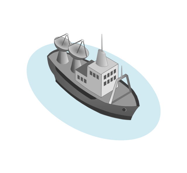
Satellite dishes on ship
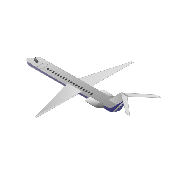
Airplane
Internet

Man

Woman

Call-center

Honeycomb
Mountain
Radio waves
Radio waves

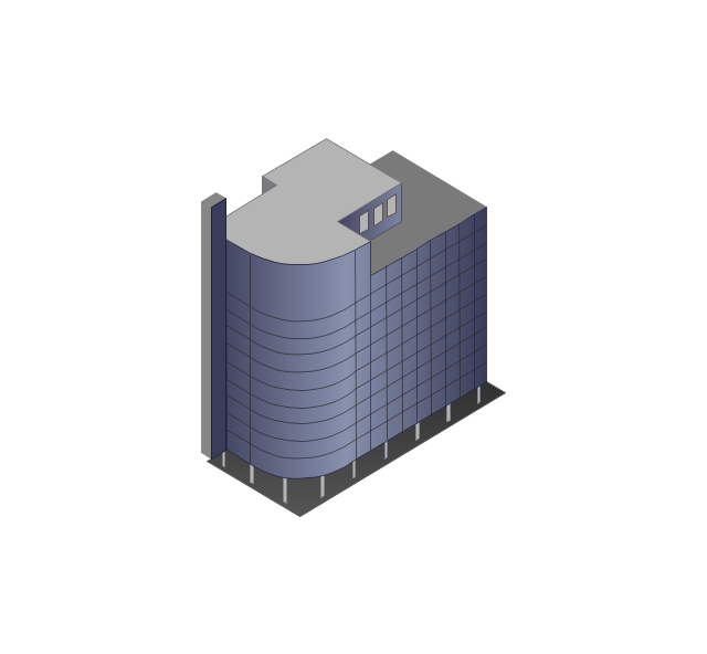
Tower block
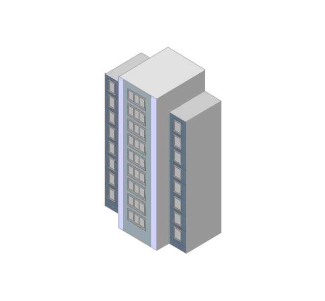
Office building
House

House

Globe

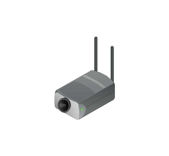
Wireless security camera
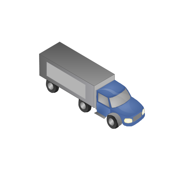
Truck
Tree
Conifer tree
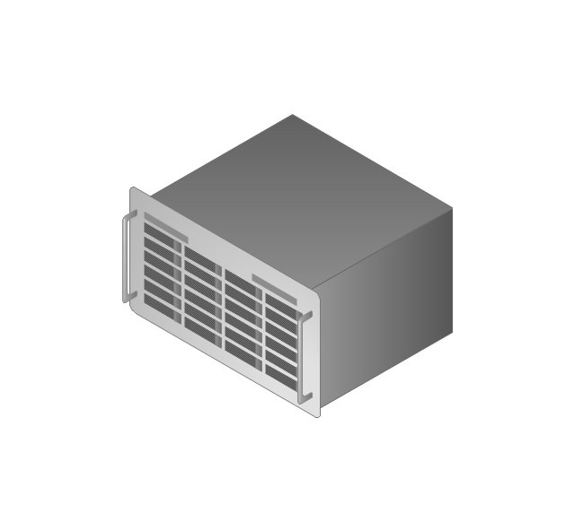
1U hub / switch
2U hub / switch
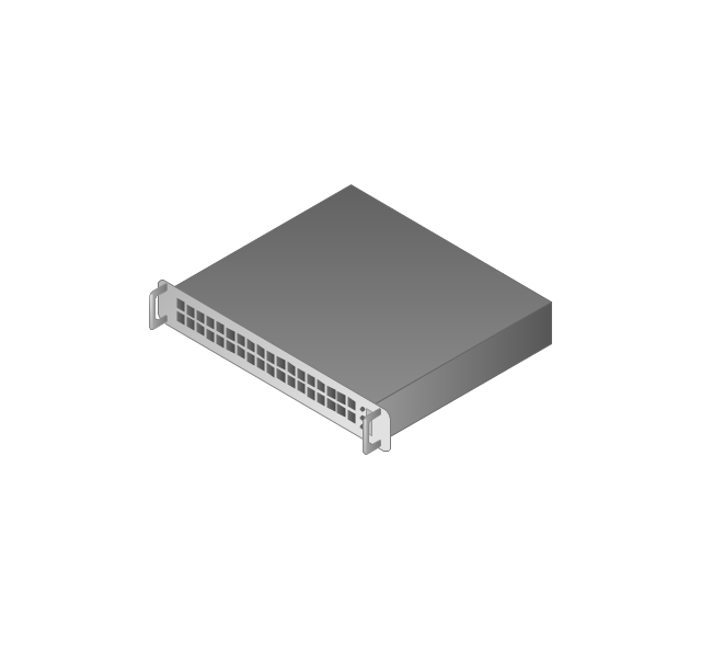
1U server

2U Server
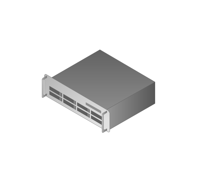
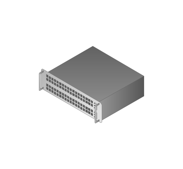
3U Server
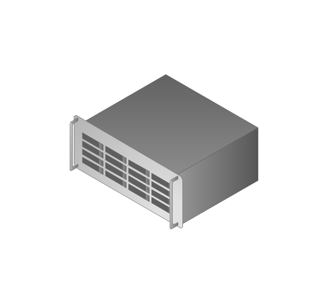
4U Server
Communications satellite
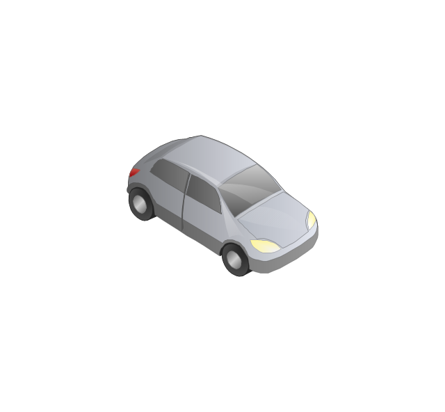
Car
Radio waves

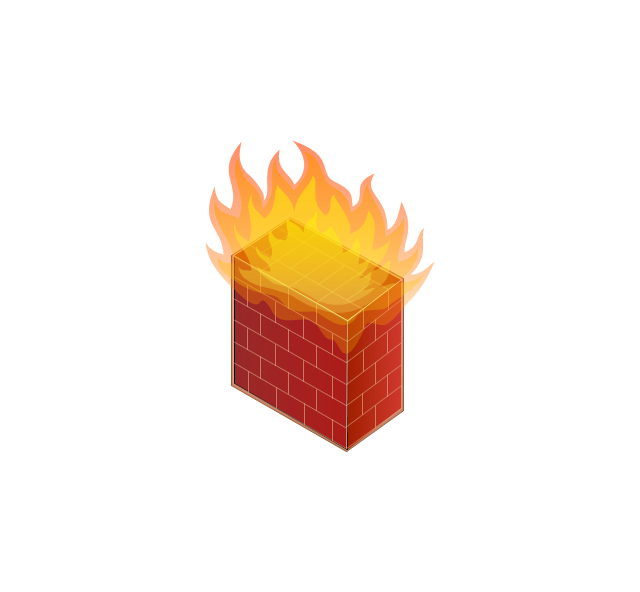
Firewall
Geo Map - USA - Tennesse

Geo Map of Americas

Geo Map - Asia - Kazakhstan

Geo Map - South America - Venezuela

- Mountain To River Illustration
- Geography - Vector stencils library | Photos Of River Flowing From ...
- Elements Of Nature River Ocean Mountain Hill Forest Volcano
- Mountain With River Vector Free
- Draw A Mountain Valley River Lake
- Geography - Vector stencils library | Drawing Of Forest Mountains ...
- Design elements - Geography | Geography - Vector stencils library ...
- River Originated From Mountain Drawing
- Drawing Of Mountains Rivers Forests Seas
- Ski lift in the snow capped mountains | Design elements ...
- Ski lift in the snow capped mountains | Geography - Vector stencils ...
- River Illustration Png
- Design elements - Map of US Mountain | Telecommunication ...
- Mountain Vector Png
- Mountain River Natural Drawing Of Picture
- Mountain River Lake Hill Desert
- Vector Forests And Mountains
- Design elements - Geography | Landforms In Mountain Landscapes
- Geo Map - Europe - Iceland | Geography - Vector stencils library ...