 Metro Map
Metro Map solution extends ConceptDraw DIAGRAM software with templates, samples and library of vector stencils for drawing the metro maps, route maps, bus and other transport schemes, or design tube-style infographics.
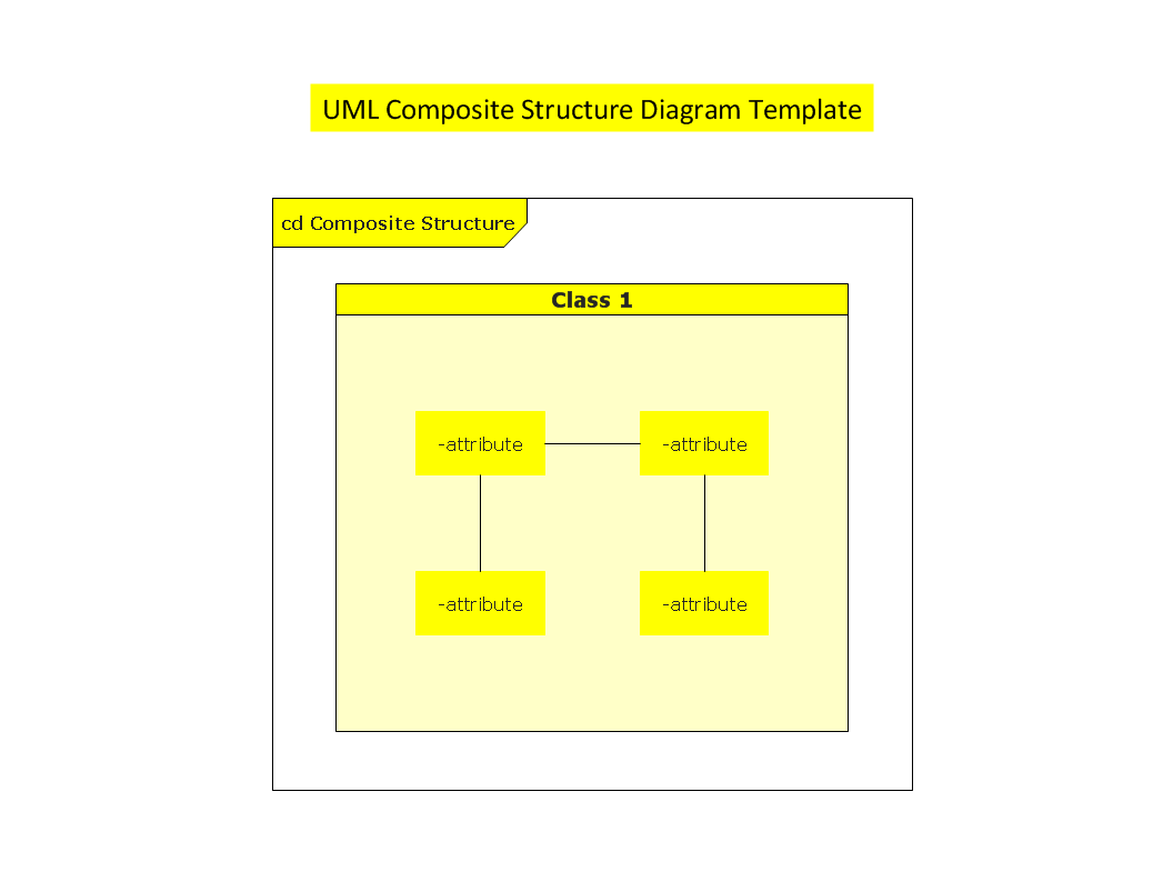
UML Composite Structure Diagram
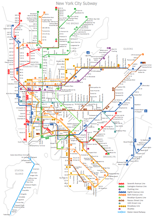
How to draw Metro Map style infographics? (New York)

 Metro Map
Metro Map solution extends ConceptDraw DIAGRAM software with templates, samples and library of vector stencils for drawing the metro maps, route maps, bus and other transport schemes, or design tube-style infographics.
How to draw Metro Map style infographics? Moscow, New York, Los Angeles, London

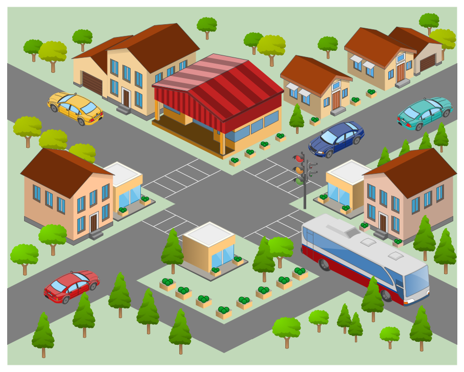
Metro Maps

Rail transport - Design elements
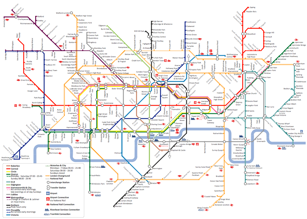
Subway Train Map
MTA Subway Map
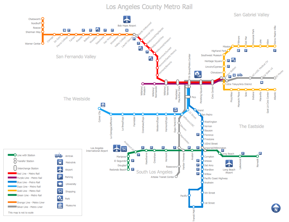
How to draw Metro Map style infographics? (Los Angeles)

How To Create Emergency Plans and Fire Evacuation

"A transit map is a topological map in the form of a schematic diagram used to illustrate the routes and stations within a public transport system - whether this be bus lines, tramways, rapid transit, commuter rail or ferry routes. The main components are color coded lines to indicate each line or service, with named icons to indicate stations or stops. ...
There are a growing number of books, websites and works of art on the subject of urban rail and metro map design and use. There are now hundreds of examples of diagrams in an urban rail or metro map style that are used to represent everything from other transit networks like buses and national rail services to sewerage systems and Derbyshire public houses." [Transit map. Wikipedia]
The transportation map template for the ConceptDraw PRO diagramming and vector drawing software is included in the Spatial Infographics solution from the area "What is Infographics" of ConceptDraw Solution Park.
Transit map

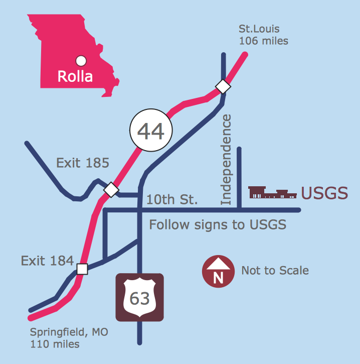
Directions Map
Maps and Directions
Metro Map
- Metro Map | Aerospace and Transport | Train Station Site Plan ...
- Metro Map | How to Create a Vehicular Network Diagram | Computer ...
- Metro Map | Metro Map | Aerospace and Transport | Class Diagram ...
- Metro Map | Aerospace and Transport | Bubble Diagram Showing ...
- Metro Rail Drawing Different Types
- Entity-Relationship Diagram (ERD) | Metro Map | Aerospace and ...
- Electrical Diagram | Metro Map | Electrical Symbols, Electrical ...
- Aerospace and Transport | Event-driven Process Chain Diagrams ...
- Rail transport - Design elements | Aerospace and Transport | UML ...
- Entity-Relationship Diagram (ERD) | Aerospace and Transport ...
- Entity-Relationship Diagram (ERD) | Metro Map | Wireless Networks ...
- Aerospace and Transport | Entity-Relationship Diagram (ERD ...
- Different Types Metro Train Of Photos
- Metro Map | Entity-Relationship Diagram (ERD) | Aerospace and ...
- Metro Map | Metropolitan Area Network Block Diagram
- Computer Network Diagrams | Aerospace and Transport | Metro ...
- MTA Subway Map | Entity-Relationship Diagram (ERD) | Metro Map ...
- Metro Map | Metro Map | Maps | Er Diagram Forr Route Map
- Metro Map | Data Flow Diagrams (DFD) | Venn Diagram Examples ...
- Business Diagram Software | Metro Map | Circle-Spoke Diagrams ...