Metro Maps

Subway Map

How to draw Metro Map style infographics? Moscow, New York, Los Angeles, London

How to draw Metro Map style infographics? (New York)

HelpDesk
How to Make a Web Page from Your Metro Map

Metro Train Map

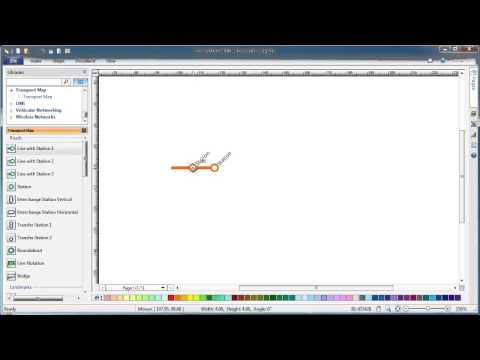
Infographic design elements, software tools Subway and Metro style

Subway Train Map

Metro Path Map

"A transit map is a topological map in the form of a schematic diagram used to illustrate the routes and stations within a public transport system - whether this be bus lines, tramways, rapid transit, commuter rail or ferry routes. The main components are color coded lines to indicate each line or service, with named icons to indicate stations or stops. ...
There are a growing number of books, websites and works of art on the subject of urban rail and metro map design and use. There are now hundreds of examples of diagrams in an urban rail or metro map style that are used to represent everything from other transit networks like buses and national rail services to sewerage systems and Derbyshire public houses." [Transit map. Wikipedia]
The transportation map template for the ConceptDraw PRO diagramming and vector drawing software is included in the Spatial Infographics solution from the area "What is Infographics" of ConceptDraw Solution Park.
Transit map

 Metro Map
Metro Map solution extends ConceptDraw PRO software with templates, samples and library of vector stencils for drawing the metro maps, route maps, bus and other transport schemes, or design tube-style infographics.
How to draw Metro Map style infographics? (London)

MTA Subway Map

Subway infographic design elements - software tools

"A transit map is a topological map in the form of a schematic diagram used to illustrate the routes and stations within a public transport system - whether this be bus lines, tramways, rapid transit, commuter rail or ferry routes. The main components are color coded lines to indicate each line or service, with named icons to indicate stations or stops.
Transit maps can be found in the transit vehicles, at the platforms or in printed timetables. Their primary function is to help users to efficiently use the public transport system, including which stations function as interchange between lines. Unlike conventional maps, transit maps are usually not geographically accurate - instead they use straight lines and fixed angles, and often illustrate a fixed distance between stations, compressing those in the outer area of the system and expanding those close to the center." [Transit map. Wikipedia]
This transit map template for the ConceptDraw PRO diagramming and vector drawing software is included in the Metro Map solution from the Maps area of ConceptDraw Solution Park.
www.conceptdraw.com/ solution-park/ maps-metro-map
Transit map

- Transit map template | Transport map - Template | Metro Map ...
- Transport map - Template | Transit map template | Metro Maps ...
- Transport map - Template | How to draw Metro Map style ...
- Transit map template | Metro Map | Maps | Transit Maps
- Spatial infographics Design Elements: Transport Map | Metro Map ...
- Metro Map | Transport map - Template | Subway Train Map ...
- Transport map - Template | Intelligent transportation system | How to ...
- Transit map template | Design elements - Transport map | How to ...
- How to draw Metro Map style infographics? (New York) | Transport ...
- Transport map - Template | How to draw Metro Map style ...
- How to draw Metro Map style infographics? Moscow, New York, Los ...
- How to draw Metro Map style infographics? (New York) | Transport ...
- Cross-Functional Process Map Template | How to draw Metro Map ...
- Transport map - Template | Metro Map | Metro map - Northern line ...
- Aerospace and Transport | Metro Map | Transport map - Template ...
- Transit map template
- Subway Train Template
- How to draw Metro Map style infographics? Moscow, New York, Los ...
- How to draw Metro Map style infographics? (New York) | Subway ...
- Transit map template | Landmarks - Vector stencils library | How to ...