Geo Mapping Software Examples - World Map Outline

Geo Map - Europe

ConceptDraw PRO is idea to draw the geological maps of Europe from the pre-designed vector geo map shapes.
Use it to draw thematic maps, geospatial infographics and vector illustrations for your business documents, presentations and websites.
Geo Map of Americas

ConceptDraw is idea to draw the geological maps of America from the pre-designed vector geo map shapes and vector images map of america.
Use Continent Maps solution from the Maps area of ConceptDraw Solution Park to draw thematic maps, geospatial infographics and vector illustrations for your business documents, presentations and websites.
Map Software

Geo Map - Europe - Poland

Types of Map - Overview

Geo Map Software

Geo Map - Asia - Indonesia

The vector stencils library Indonesia contains contours for ConceptDraw PRO diagramming and vector drawing software. This library is contained in the Continent Maps solution from Maps area of ConceptDraw Solution Park.
Geo Map - Asia - Iran

The vector stencils library Iran contains contours for ConceptDraw PRO diagramming and vector drawing software. This library is contained in the Continent Maps solution from Maps area of ConceptDraw Solution Park.
Geo Map - USA - West Virginia

The vector stencils library West Virginia contains contours for ConceptDraw PRO diagramming and vector drawing software. This library is contained in the Continent Maps solution from Maps area of ConceptDraw Solution Park.
Geo Map - Africa - Ethiopia

The vector stencils library Ethiopia contains contours for ConceptDraw PRO diagramming and vector drawing software. This library is contained in the Continent Maps solution from Maps area of ConceptDraw Solution Park.
Geo Map - Asia - Kazakhstan

The vector stencils library Kazakhstan contains contours for ConceptDraw PRO diagramming and vector drawing software. This library is contained in the Continent Maps solution from Maps area of ConceptDraw Solution Park.
Geo Map - Africa - Zambia

The vector stencils library Zambia contains contours for ConceptDraw PRO diagramming and vector drawing software. This library is contained in the Continent Maps solution from Maps area of ConceptDraw Solution Park.
Geo Map - USA - Mississippi

The vector stencils library Mississippi contains contours for ConceptDraw PRO diagramming and vector drawing software. This library is contained in the Continent Maps solution from Maps area of ConceptDraw Solution Park.
Geo Map - Asia

Use Geo Map Asia to draw thematic maps, geospatial infographics and vector illustrations for your business documents, presentations and websites.
 Maps
Maps
This solution extends ConceptDraw PRO v9.4 with the specific tools necessary to help you draw continental, directional, road, or transit maps, to represent international, business, or professional information visually.
The stencils library "South America flags" contains 14 clipart images of South American countries state flags.
"... flags of South American countries and affiliated international organizations.
International: Flag of the Andean Community of Nations, Flag of the European Union, Flag of Mercosur, Flag of OPEC, Flag of the Organisation internationale de la Francophonie, Flag of the Union of South American Nations.
Countries: Flag of Argentina, Flag of Bolivia, Flag of Brazil, Flag of Chile, Flag of Colombia, Flag of Ecuador, Flag of Guyana, Flag of Paraguay, Flag of Peru, Flag of Suriname, Flag of Uruguay, Flag of Venezuela.
Territories: Flag of Aruba (Kingdom of the Netherlands), Flag of Bonaire (Kingdom of the Netherlands), Flag of Curacao (Kingdom of the Netherlands), Flag of the Falkland Islands (British Overseas Territory), Flag of French Guiana (Overseas Department of France), Flag of South Georgia and the South Sandwich Islands (British Overseas Territory)." [Flags of South America. Wikipedia]
The clip art example "South America flags - Stencils library" was created using the ConceptDraw PRO diagramming and vector drawing software extended with the Continent Maps solution from the Maps area of ConceptDraw Solution Park.
www.conceptdraw.com/ solution-park/ maps-continent
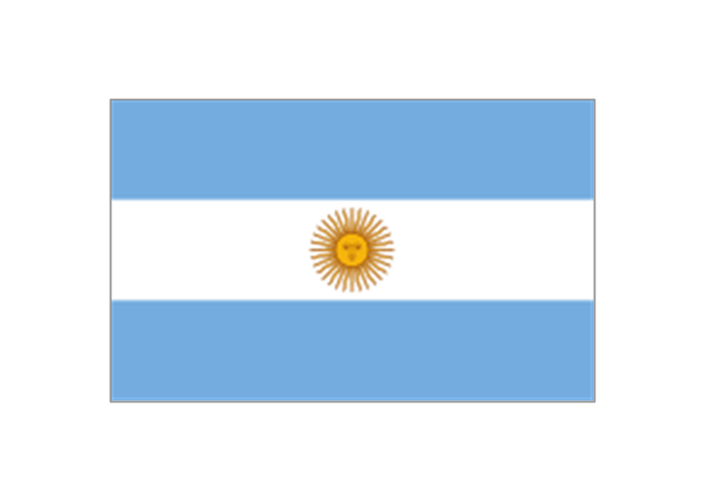
Argentina
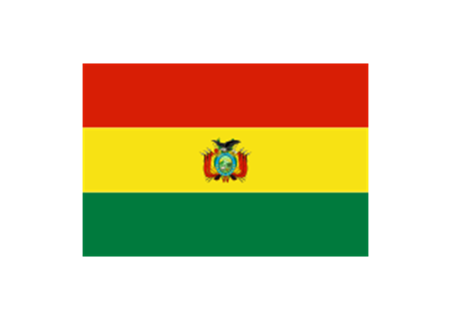
Bolivia
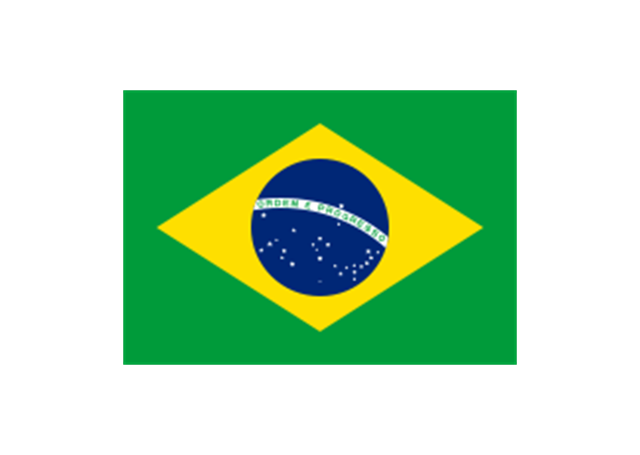
Brazil
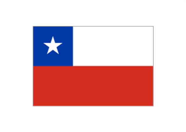
Chile
Colombia

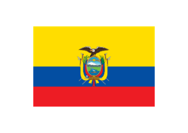
Ecuador
French Guiana (France)
-south-america-flags---stencils-library.png--diagram-flowchart-example.png)
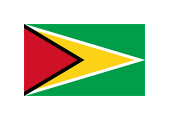
Guyana
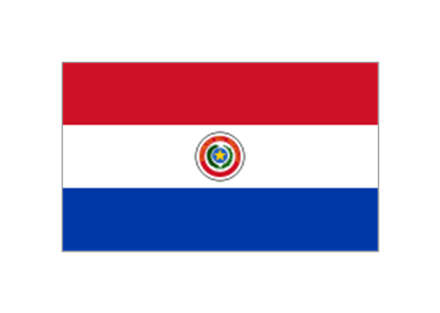
Paraguay
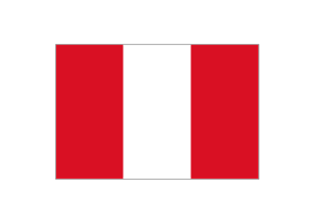
Peru
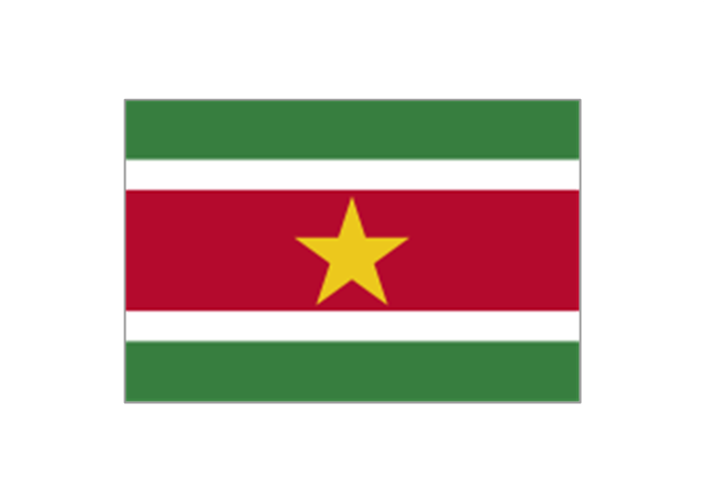
Suriname
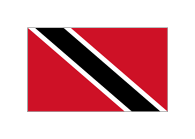
Trinidad and Tobago
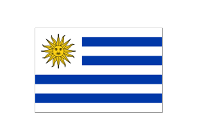
Uruguay
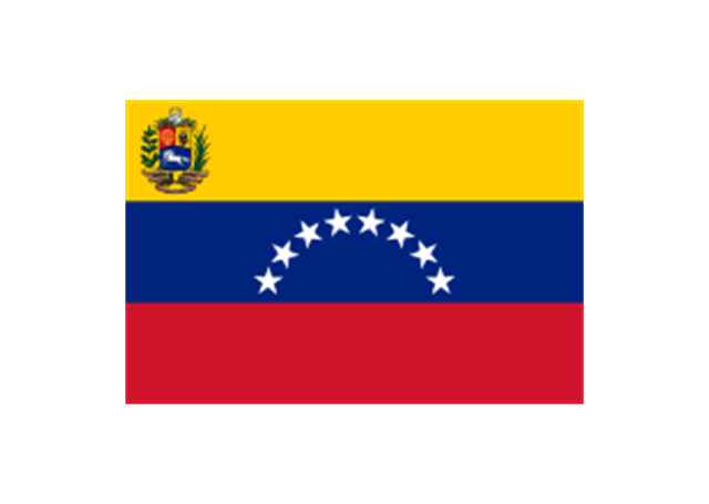
Venezuela
 Continent Maps
Continent Maps solution extends ConceptDraw PRO software with templates, samples and libraries of vector stencils for drawing the thematic maps of continents, state maps of USA and Australia.
The vector stencils library "North America" contains 70 contours for drawing thematic maps of North America in spatial infographics.
Use it for visual representation of geospatial information, statistics and quantitative data in the ConceptDraw PRO diagramming and vector drawing software extended with the Spatial Infographics solution from the area "What is Infographics" of ConceptDraw Solution Park.
Use it for visual representation of geospatial information, statistics and quantitative data in the ConceptDraw PRO diagramming and vector drawing software extended with the Spatial Infographics solution from the area "What is Infographics" of ConceptDraw Solution Park.
North America

Greenland (Denmark)
-north-america---vector-stencils-library.png--diagram-flowchart-example.png)
Canada

Canada (provinces and territories)
-north-america---vector-stencils-library.png--diagram-flowchart-example.png)
Alberta

British Columbia

Manitoba

New Brunswick

Newfoundland and Labrador

Northwest Territories

Nova Scotia

Nunavut

Ontario

Prince Edward Island

Quebec

Saskatchewan

Yukon

USA

US states

Alabama

Alaska

Arizona

Arkansas

California

Colorado

Connecticut

Delaware

Florida

Georgia

Hawaii

Idaho

Illinois

Indiana

Iowa

Kansas

Kentucky

Louisiana

Maine

Maryland

Massachusetts

Michigan

Minnesota

Mississippi

Missouri

Montana

Nebraska

Nevada

New Hampshire

New Jersey

New Mexico

New York

North Carolina

North Dakota

Ohio

Oklahoma

Oregon

Pennsylvania

Rhode Island

South Carolina

South Dakota

Tennessee

Texas

Utah

Vermont

Virginia

Washington

West Virginia

Wisconsin

Wyoming

Mexico

- How to Connect an Image to a Topic in Your Mind Map | How to ...
- How to Connect an Image to a Topic in Your Mind Map | How to ...
- America Maps Images
- Continent Maps | Geo Map - South America Continent | Continent ...
- ConceptDraw Solution Park | Germany Map | Picture Graphs ...
- Geo Map - Europe - Belarus | Geo Map - Africa - Somalia | Contur ...
- ConceptDraw Solution Park | Germany Map | Picture Graphs ...
- Geo Map - USA - New York
- Continent Maps | Europe flags - Stencils library | Map Software ...
- Geo Map of America
- Geo Map - Asia
- Population growth by continent, 2010 - 2013 - Picture graph | Geo ...
- Geo Map - South America Continent
- Geo Map - USA - Oregon | Geo Map of America | Geo Map - USA ...
- 7 Continents Map
- Geo Map - United States of America Map | How to Draw a Map of ...
- Geo Map - South America - Paraguay | Geo Map - South America ...
- Geo Map - South America Continent | Geo Map - Asia | Geo Map ...
- North America - Vector stencils library | North America map with ...
- Picture graph - Population growth by continent, 2010 - 2013 | Picture ...