Geo Map - South America - Mexico

Geo Map - South America - Cuba

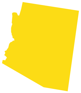
Geo Map - USA - Arizona
Geo Map — United States of America Map

Geo Map — South America Continent

Geo Map - USA - New Mexico

Geo Map - South America - Guatemala

Geo Map - South America - Paraguay

The vector stencils library "FIFA World Cup 2014 team flags" contains 32 FIFA World Cup 2014 team flags clipart.
Use these shapes to draw your FIFA World Cup infographics and illustrations in the ConceptDraw PRO diagramming and vector drawing software extended with the Soccer solution from the Sport area of ConceptDraw Solution Park.
www.conceptdraw.com/ solution-park/ sport-soccer
Use these shapes to draw your FIFA World Cup infographics and illustrations in the ConceptDraw PRO diagramming and vector drawing software extended with the Soccer solution from the Sport area of ConceptDraw Solution Park.
www.conceptdraw.com/ solution-park/ sport-soccer
Australia

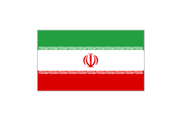
Iran
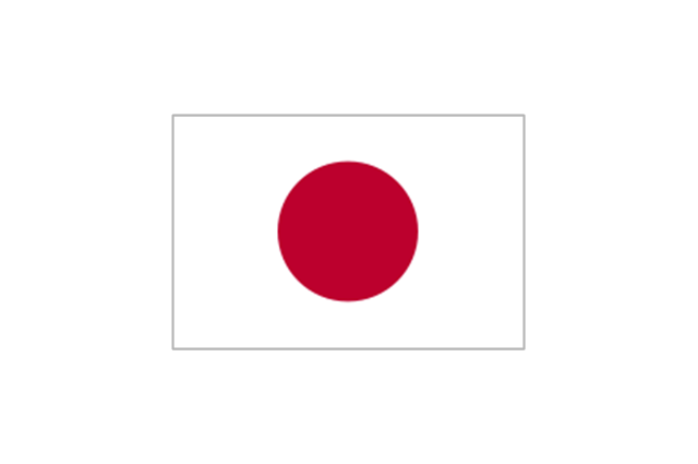
Japan
South Korea

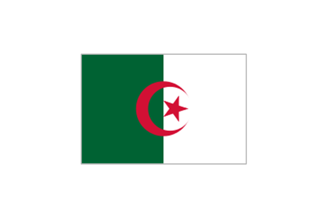
Algeria
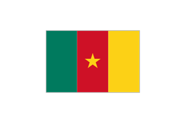
Cameroon
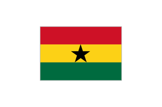
Ghana
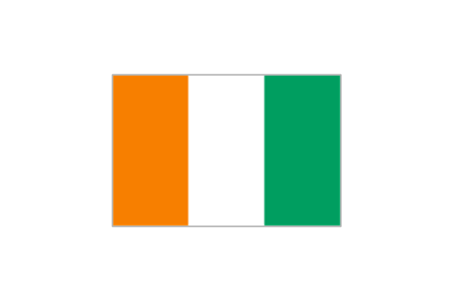
Ivory Coast
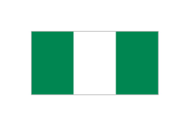
Nigeria
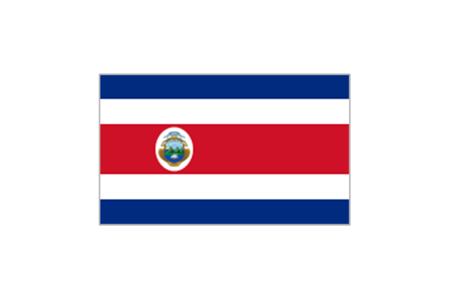
Costa Rica
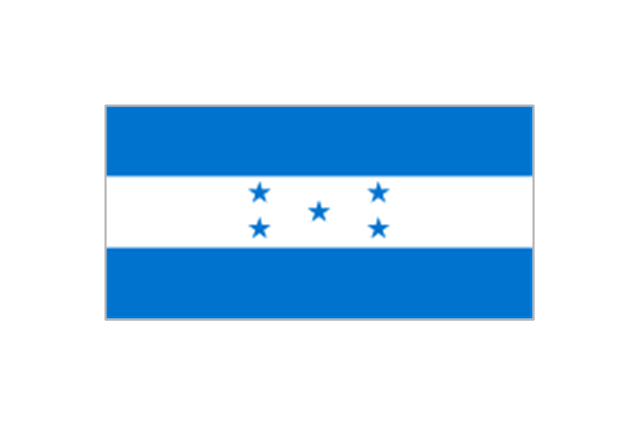
Honduras
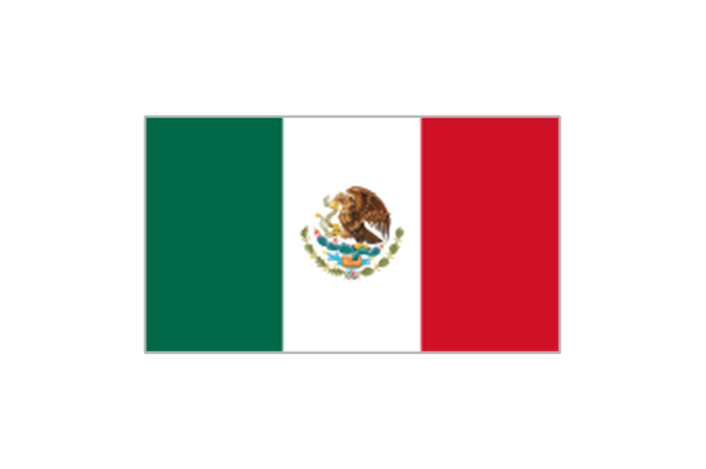
Mexico
United States

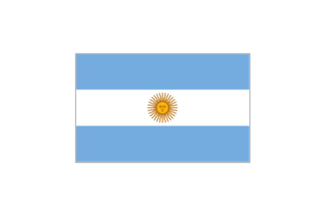
Argentina
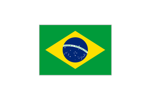
Brazil
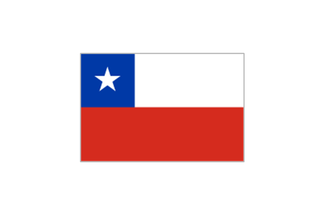
Chile
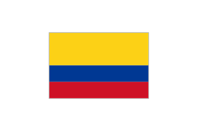
Colombia
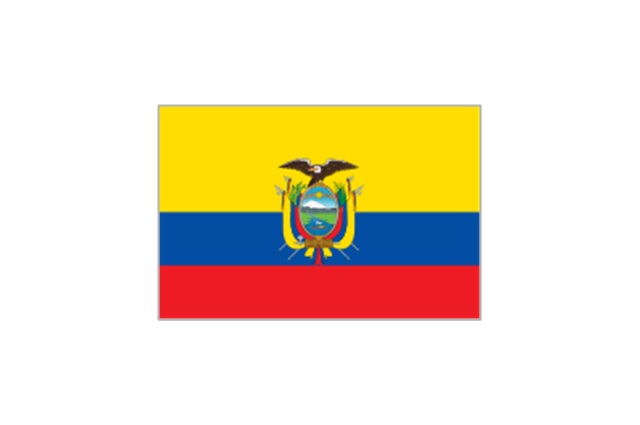
Ecuador
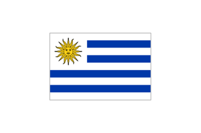
Uruguay
Belgium

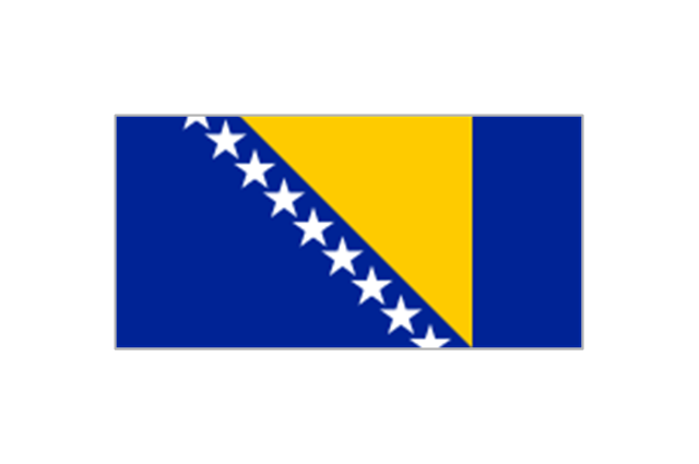
Bosnia and Herzegovina
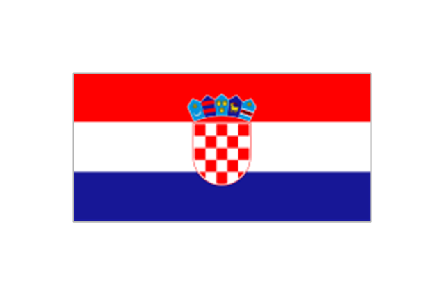
Croatia
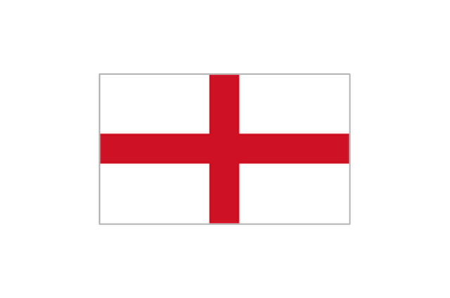
England
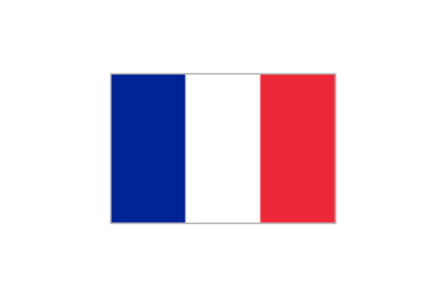
France
Germany

Greece

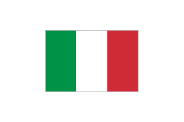
Italy
Netherlands

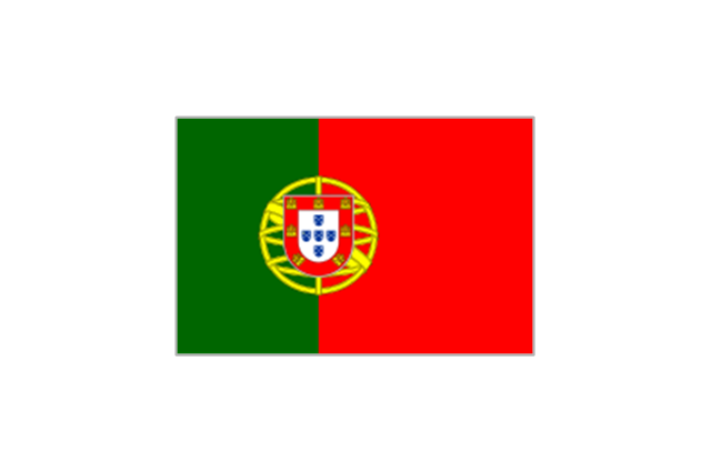
Portugal
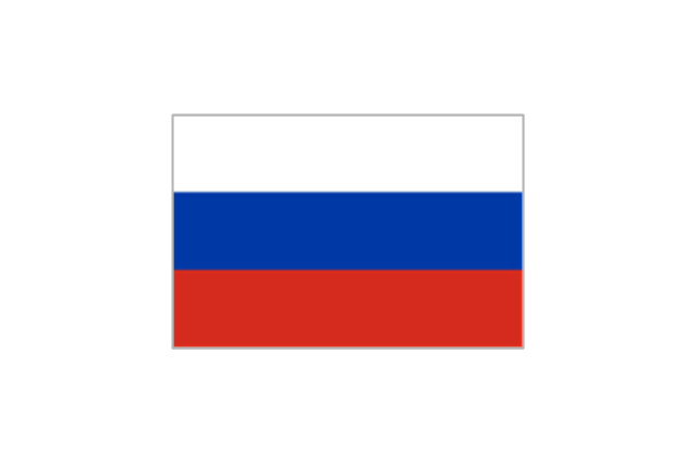
Russia
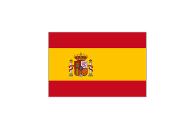
Spain
Switzerland

Geo Map — USA — Florida

Geo Map - South America - Belize

Geo Map - USA - Alabama

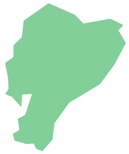
Geo Map - South America - Ecuador
- Geo Map - South America - Mexico | Geo Map - USA - Arizona | Geo ...
- Geo Map - USA - Mexico
- Geo Map - United States of America Map
- How to Draw a Map of North America Using ConceptDraw PRO ...
- Picture Of United States Of America Map
- America Contour
- Geo Map - United States of America Map | How to Draw a Map of ...
- Geo Map - South America - Mexico | Geo Map - USA - New Mexico ...
- Geo Map - South America Continent
- Geo Map - South America - Mexico
- Geo Map - South America - Mexico | Geo Map - South America ...
- Map Of South America And Mexico
- North America map
- Country Flags Pictures
- Map From Brazil To Mexico
- Mexico In The Map Of South America
- Geo Map - United States of America Map | How to Draw a Map of ...
- Geo Map - South America - Mexico | Total value of manufacturers ...
- Geo Map - South America - Venezuela
- How To Draw Florida