The vector stencils library "TV, Photo and Video" contains 52 television, digital photo and video icons.
Use it to design your audio, video and multimedia illustrations, presentations, web pages and infographics with ConceptDraw PRO diagramming and vector drawing software.
The vector stencils library "TV, Photo and Video" is included in the Audio, Video, Media solution from the Illustration area of ConceptDraw Solution Park.
Television set

TV set

Portable TV set

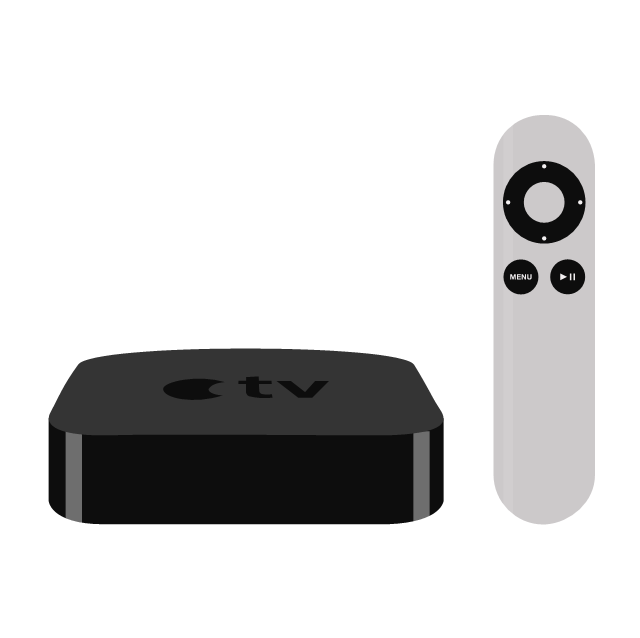
Apple TV
Wide LCD monitor

Plasma TV

HD screen

Antenna TV

Retro TV

Digital camera

Compact camera 1

Compact camera 2

Photo camera

Camera shutter

Photo images

Photos

Video cassette

Cassette

VHS

Film reel

Video

Movie

Clapboard

Clapper

Video cam

Video camera

Handy cam

Digital camcorder

Movie camera

Video record

Projector

Movie projector 1

Movie projector 2

Video projector 3

Overhead projector

Projector screen

Cinema

DVD video recorder

Video player

DVD player 1

DVD player 2

Remote

Remote control 1
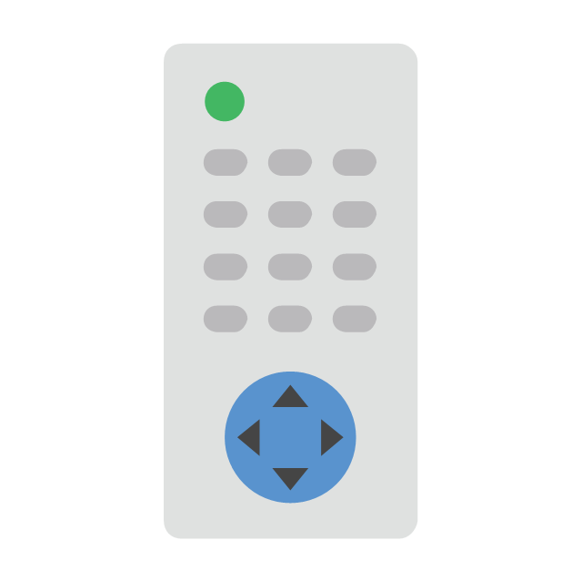
Remote control 2

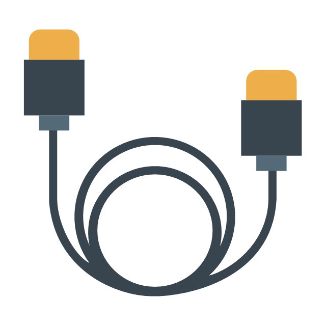
HDMI video cable
CCTV dome camera

Dome camera

Surveillance camera
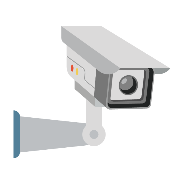
CCTV camera 1

CCTV camera 2
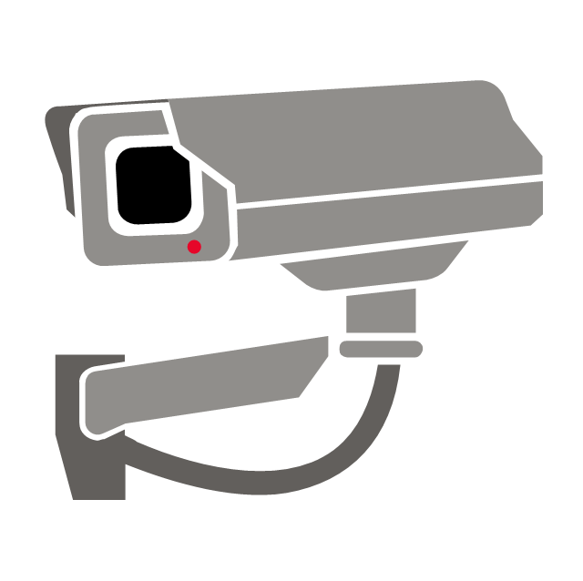
Security camera 1

Security camera 2

Geo Map - South America - Mexico

Geo Map — USA — Alaska

Geo Map — USA — Mississippi

Geo Map — USA — Washington

Geo Map - South America - Paraguay

Geo Map - USA - Ohio

Geo Map - USA - California

Geo Map — USA — Montana

Geo Map — South America Continent

Geo Map — Europe — Greece

Geo Map - USA - New York

Geo Map of Americas

Geo Map — United States of America Map

 USA Maps
Use the USA Maps solution to create a map of USA, a US interstate map, printable US maps, US maps with cities and US maps with capitals. Create a complete USA states map.
- Video and TV - Vector stencils library | How to Uninstall ...
- Video and TV - Vector stencils library
- Registers, drills and diffusers - Vector stencils library | Registers ...
- Registers, drills and diffusers - Vector stencils library | Interior ...
- Design elements - HVAC controls | Progressive disclosure controls ...
- Progressive disclosure controls - Vector stencils library | How to ...
- Basic Flowchart Images . Flowchart Examples | Donut Chart ...
- Interior Design Registers, Drills and Diffusers - Design Elements ...
- Flowchart design. Flowchart symbols, shapes, stencils and icons ...
- North and Central America flags - Stencils library | Geo Map - South ...
- How to Connect an Image to a Topic in Your Mind Map | How to ...
- Simple switched supply - Circuit diagram | HVAC control equipment ...
- Progressive disclosure controls - Vector stencils library | iPhone ...
- Map Of United States Images
- North and Central America flags - Stencils library | Flags - Stencils ...
- North and Central America country flags - Vector stencils library ...
- Interior Design Registers, Drills and Diffusers - Design Elements ...
- North and Central America flags - Stencils library | Design elements ...
- North and Central America flags - Stencils library | Continents Map ...
- Geo Map - South America Continent | Map Software | South America ...