Geo Map - South America - Chile

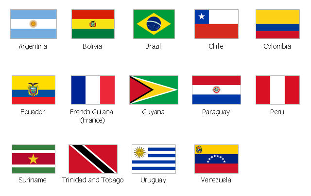
The vector stencils library "South America country flags" contains 13 clipart images of South American state flags. Use the South America country flags clip art to illustrate your business documents, presentation slides, web pages, geo maps and infographics. The clip art example "South America country flags - Vector stencils library" was created using the ConceptDraw PRO diagramming and vector drawing software extended with the Artwork solution from the Illustration area of ConceptDraw Solution Park.
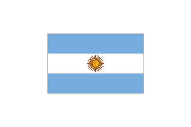
Argentina
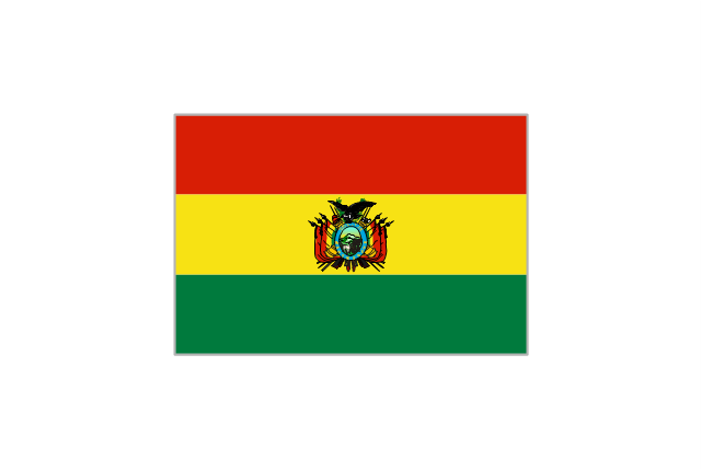
Bolivia
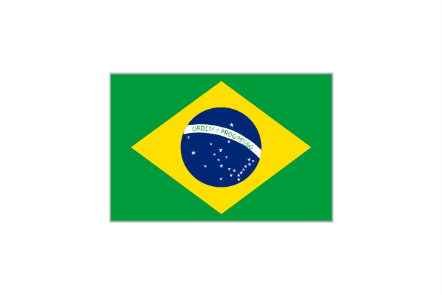
Brazil
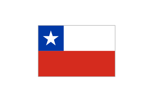
Chile
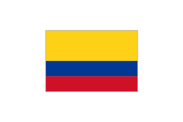
Colombia
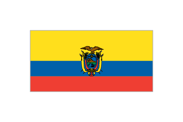
Ecuador
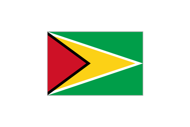
Guyana
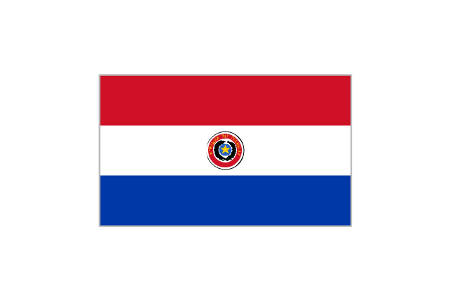
Paraguay
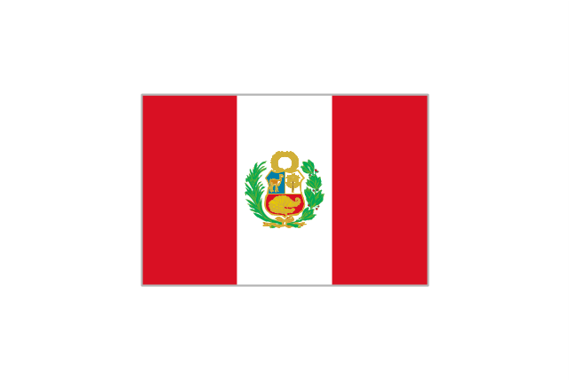
Peru
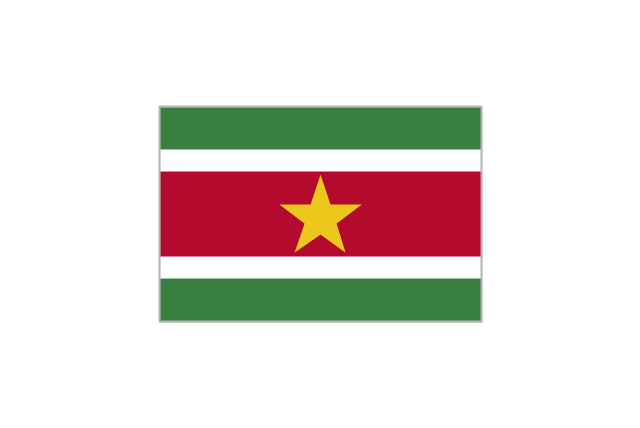
Suriname
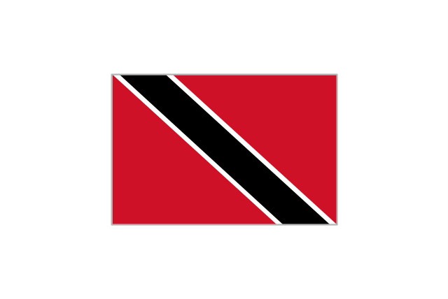
Trinidad and Tobago
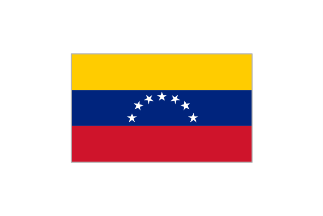
Venezuela
Uruguay
Geo Map - South America Continent

Geo Map - South America - Argentina

Geo Map - South America - Costa Rica

Geo Map - South America - Ecuador

Geo Map - South America - Colombia

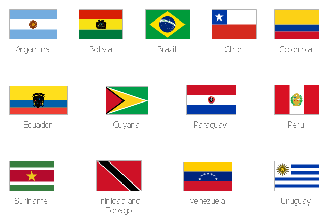
The vector stencils library "South America flags" contains 14 state flags of South American countries.
The clip art example "Design elements - South America flags" was created using the ConceptDraw PRO diagramming and vector drawing software extended with the Continent Maps solution from the Maps area of ConceptDraw Solution Park.
The clip art example "Design elements - South America flags" was created using the ConceptDraw PRO diagramming and vector drawing software extended with the Continent Maps solution from the Maps area of ConceptDraw Solution Park.
South America state flags
The vector stencils library "South America country flags" contains 13 clipart images of South America state flags.
Use it to create your illustrations, maps, infographics, presentations.
The clip art example "Design elements - South America country flags" was created using the ConceptDraw PRO diagramming and vector drawing software extended with the Artwork solution from the Illustration area of ConceptDraw Solution Park.
State flags clip art
Geo Map - South America - Paraguay

Geo Map - South America - Bolivia

Geo Map - South America - Nicaragua

Continents Map

Map of Continents

Geo Map - South America - Jamaica

- South American Flags Images
- Design elements - Oceania flags | Geo Map - South America - Chile ...
- South America flags - Stencils library | Geo Map - South America ...
- South America flags - Stencils library | Geo Map - South America ...
- South American Continent Flag
- Geo Map - South America Continent | South America flags - Stencils ...
- Design elements - Fast food | South America flags - Stencils library ...
- Map of Continents | World Continents Map | Geo Map - South ...
- South America flags - Stencils library | South America - Vector ...
- South America regions - Political map | South America country flags ...
- Design elements - South America flags | South America country ...
- South America country flags - Vector stencils library | Geo Map ...
- South America flags - Stencils library | South America country flags ...
- Oceania flags - Vector stencils library | Geo Map - South America ...
- South American Flags Pictures
- Andean states - Political map | South America regions - Political map ...
- Continent Of South America An Flags
- Geo Map - South America Continent | South America regions ...
- Geo Map - South America - Paraguay | South America flags ...
- South America flags - Stencils library | Mercosur Map Art