"The Middle East (also called Mid East in US usage) is a region that roughly encompasses a majority of Western Asia (excluding the Caucasus) and Egypt. The term is used as a synonym for Near East, in opposition to Far East. The corresponding adjective is Middle Eastern and the derived noun is Middle Easterner. Arabs, Persians, and Turks constitute the largest ethnic groups in the region by population, while Kurds, Azeris, Copts, Jews, Assyrians, Maronites, Circassians, Somalis, Armenians, Druze and other denominations form a significant minority. ... The following countries are included within the Middle East... : Bahrain, Cyprus, Egypt, Iran, Iraq, Israel, Jordan, Kuwait, Lebanon, Northern Cyprus, Oman, Palestine, Qatar, Saudi Arabia, Syria, Turkey, United Arab Emirates, Yemen.
" [Middle East. Wikipedia]
This political map sample was redesigned from the Wikimedia Commons file: Middle east map.png. [commons.wikimedia.org/ wiki/ File:Middle_ east_ map.png]
The example "Middle East - Political map" was created using the ConceptDraw PRO diagramming and vector drawing software extended with the Continent Maps solution from the Maps area of ConceptDraw Solution Park.
Political map - Middle East

The vector stencils library "Aerospace" contains 38 clip art images for creating aerospace illustrations, presentation slides, infographics and webpages using the ConceptDraw PRO diagramming and vector drawing software.
"Aerospace describes the human effort in science, engineering and business to fly in the atmosphere of Earth (aeronautics) and surrounding space (astronautics). Aerospace organisations research, design, manufacture, operate, or maintain aircraft and/ or spacecraft. Aerospace activity is very diverse, with a multitude of commercial, industrial and military applications.
Aerospace is not the same as airspace, which is the physical air space directly above a location on the ground." [Aerospace. Wikipedia]
The vector stencils library "Aerospace" is included in the Aerospace and Transport solution from the Illustrations area of ConceptDraw Solution Park.
www.conceptdraw.com/ solution-park/ illustrations-aerospace-transport
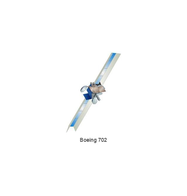
Boeing 702
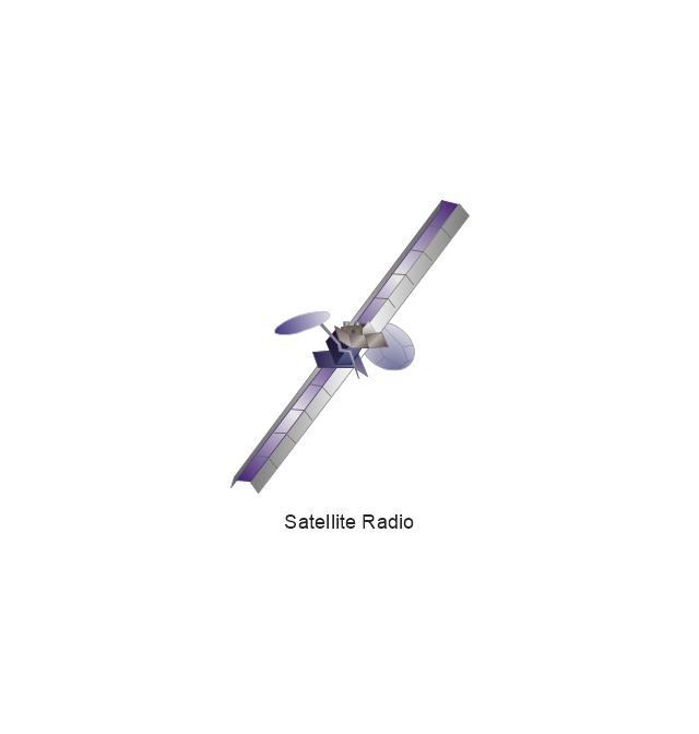
Satellite Radio
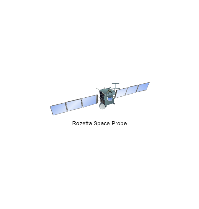
Rosetta Space Probe
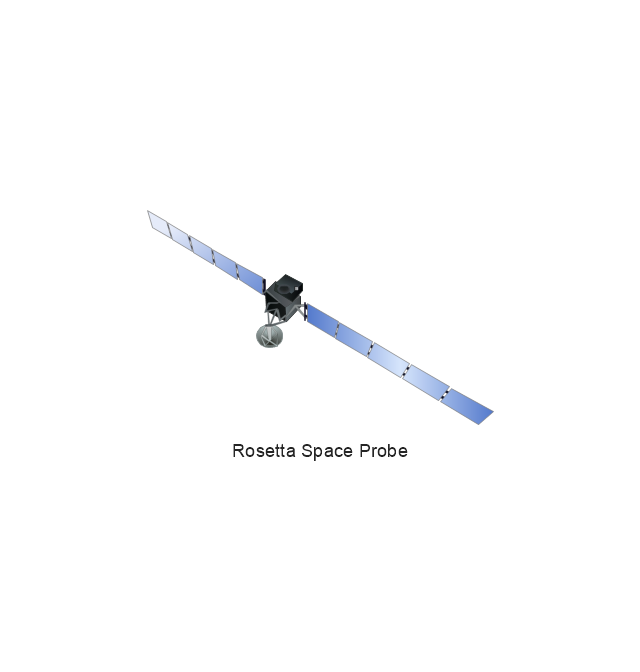
Rosetta Space Probe
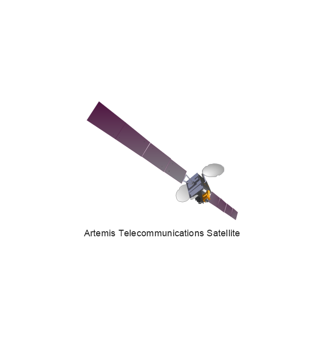
Artemis Telecommunications Satellite
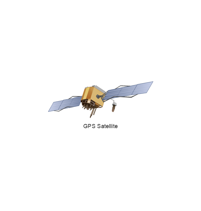
GPS Satellite
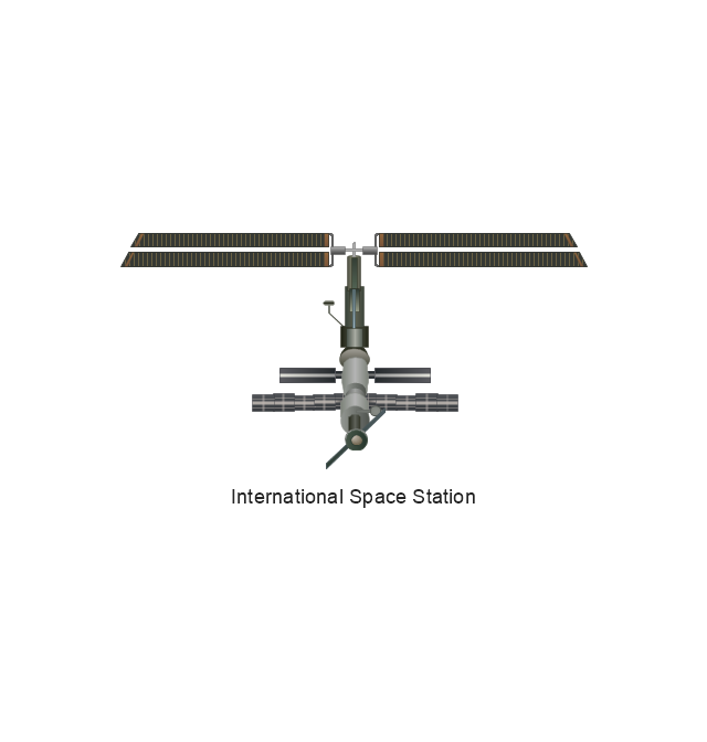
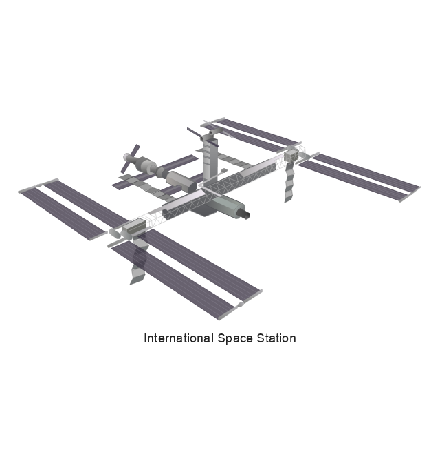
International Space Station
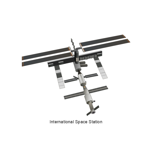
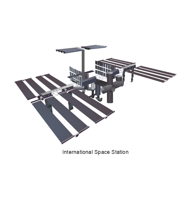
International Space Station
International Space Station
International Space Station
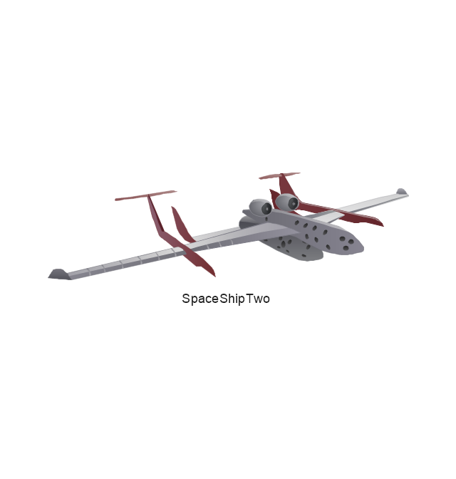
SpaceShipTwo
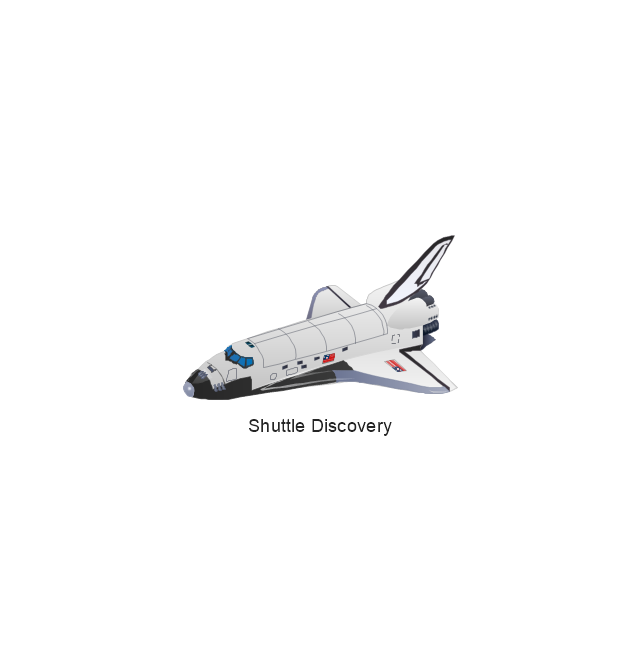
Shuttle Discovery
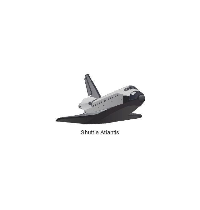
Shuttle Atlantis
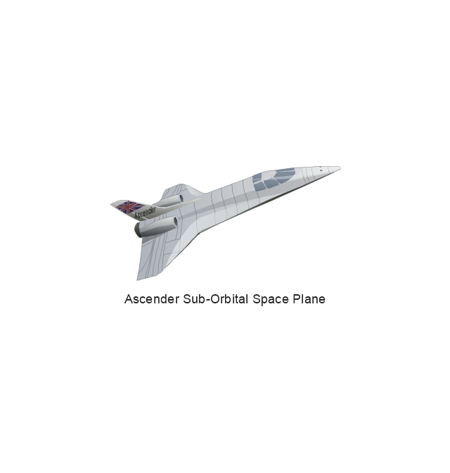
Ascender Sub-Orbital Space Plane
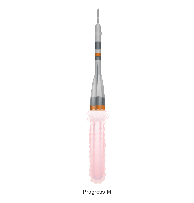
Progress M
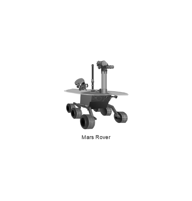
Mars Rover
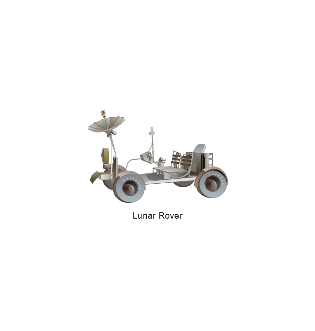
Lunar Rover
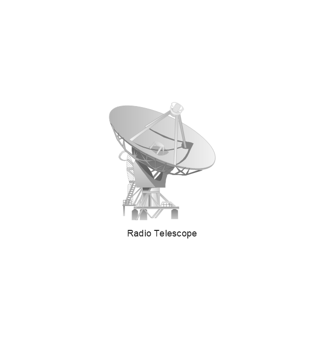
Radio Telescope
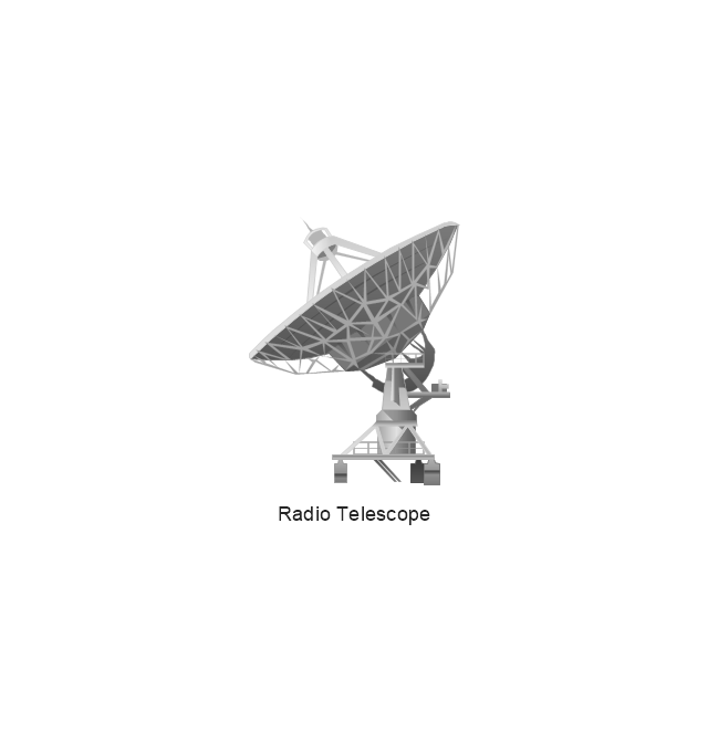
Radio Telescope
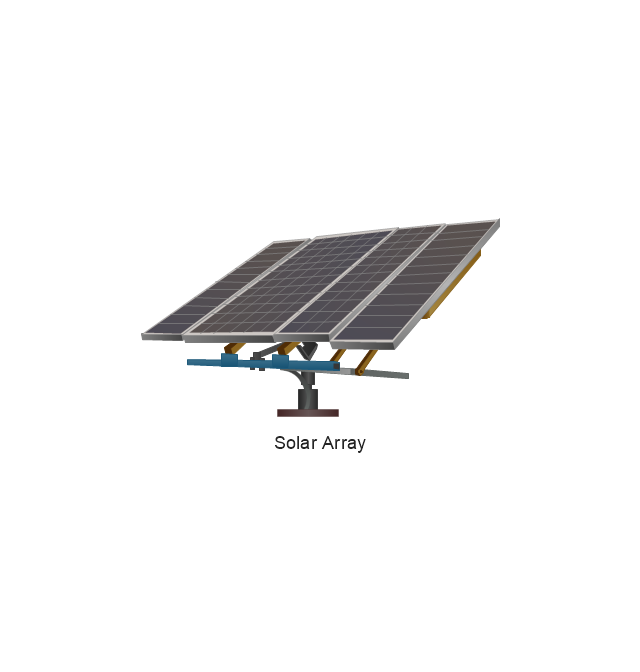
Solar Array
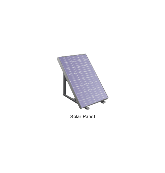
Solar Panel
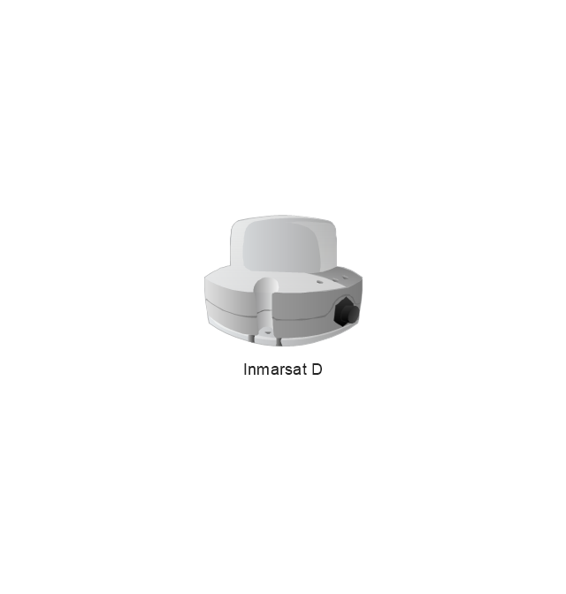
Inmarsat D
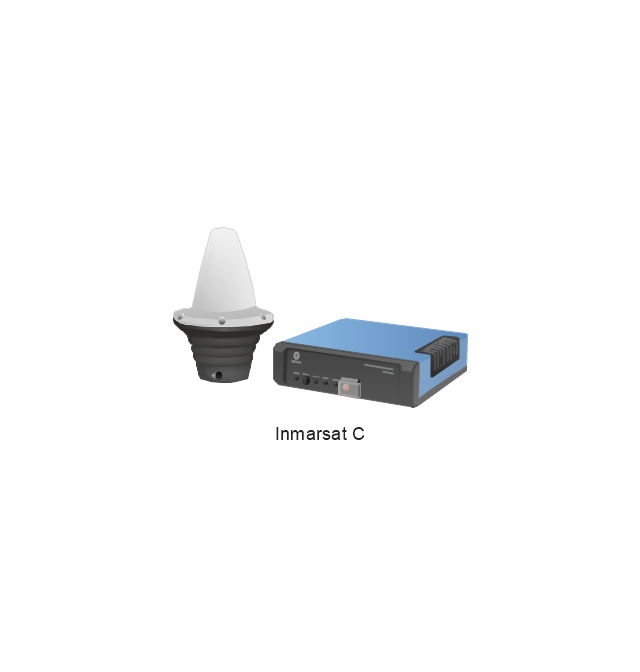
Inmarsat C
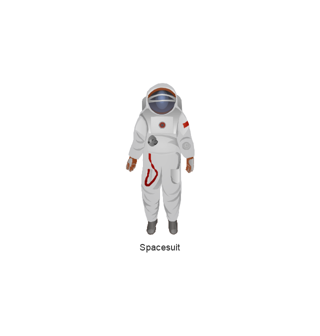
Spacesuit
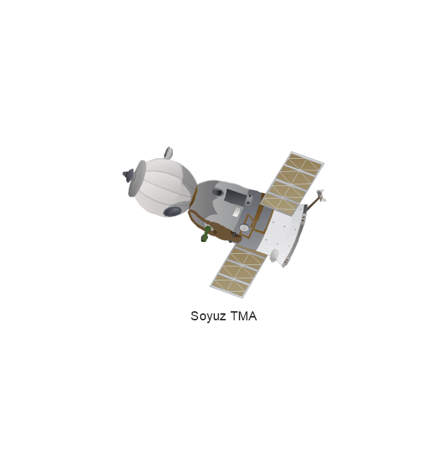
Soyuz TMA
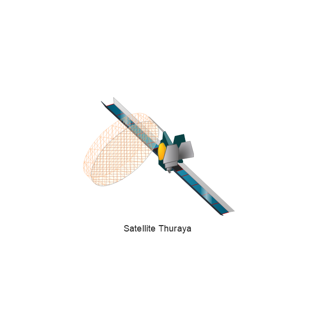
Satellite Thuraya
Tracking Headquarters
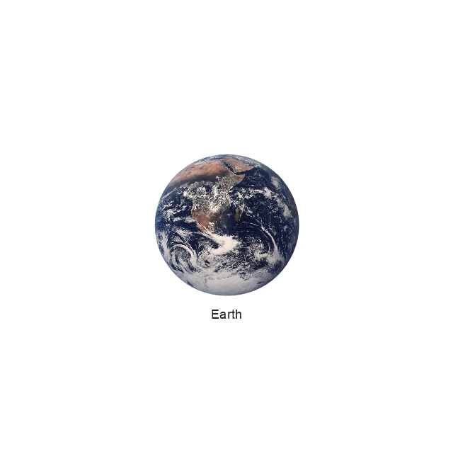
Earth
Earth
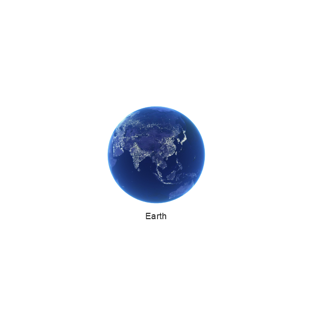
Earth
Earth
Moon
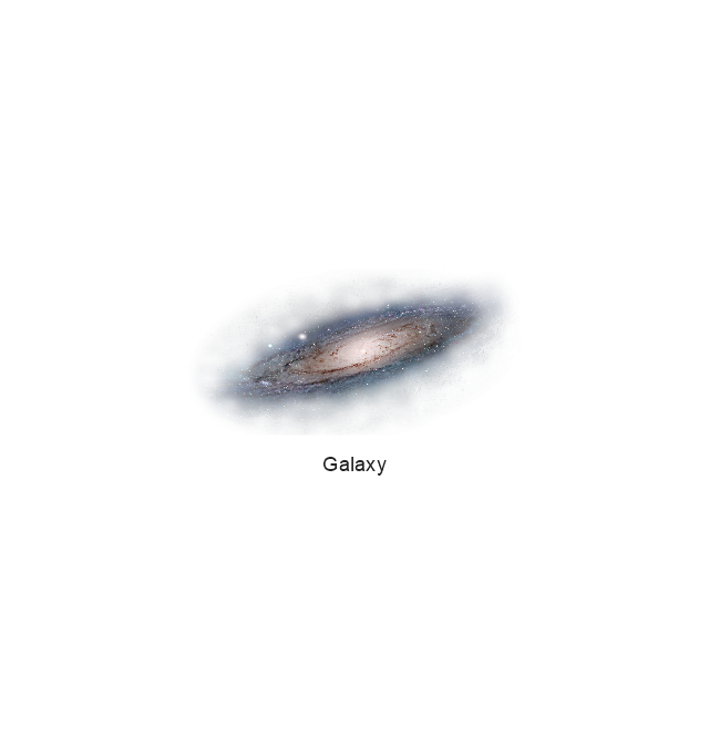
Galaxy
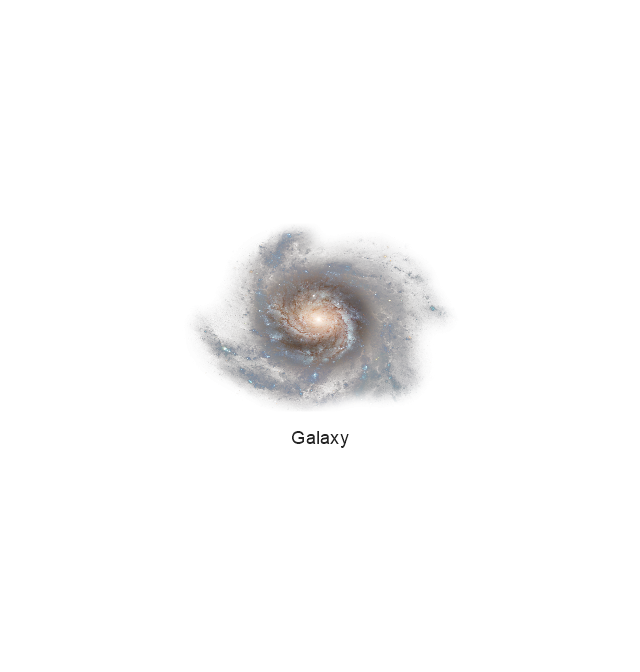
Galaxy
Galaxy
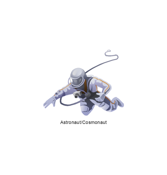
Astronaut/Cosmonaut
Tracking Headquarters
Night Sky

Geo Map — Europe — Greece

Australia Map — Queensland

Geo Map - Africa - Niger

Geo Map — USA — Florida

Geo Map - South America - Chile

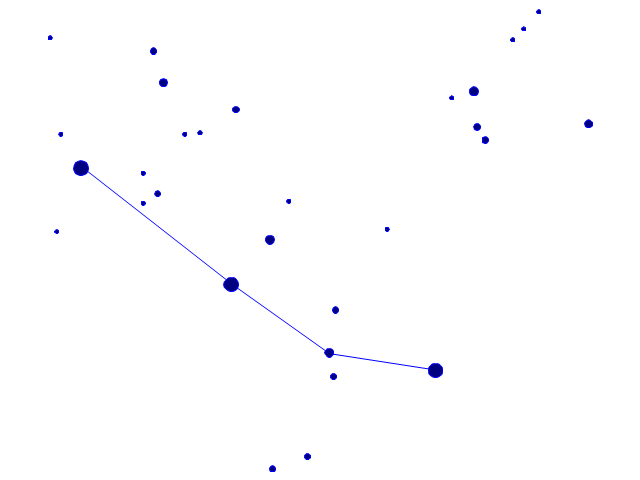
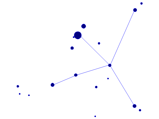
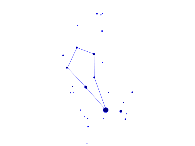
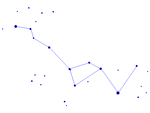
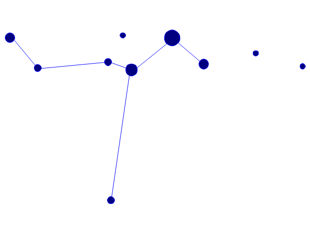
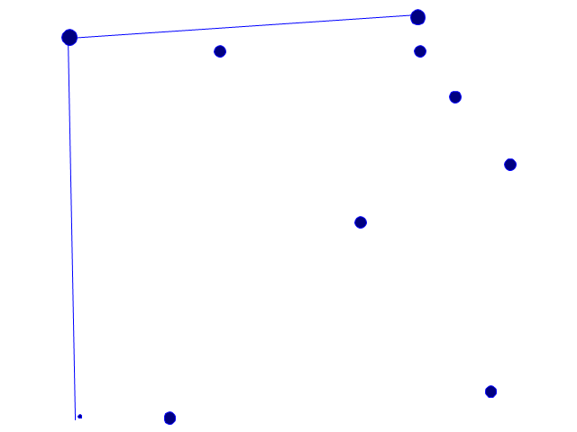
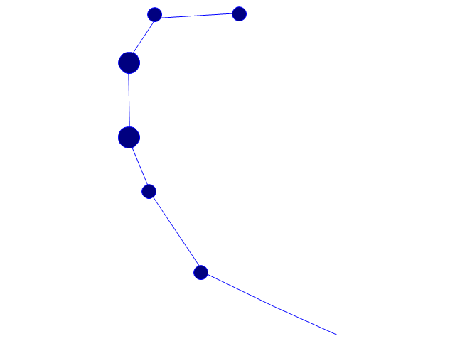
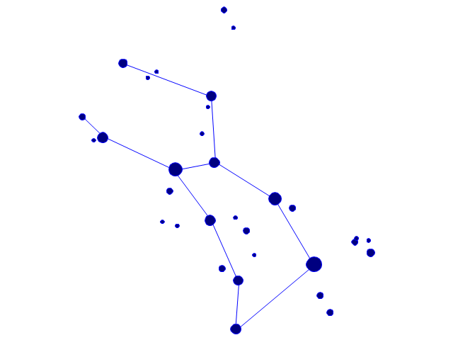
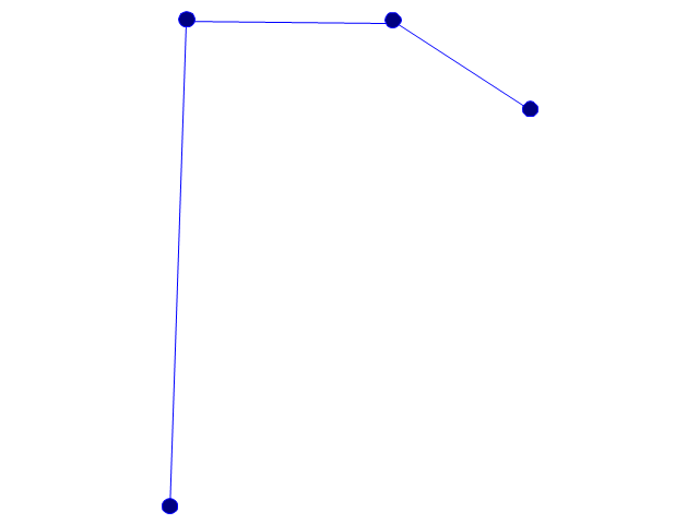
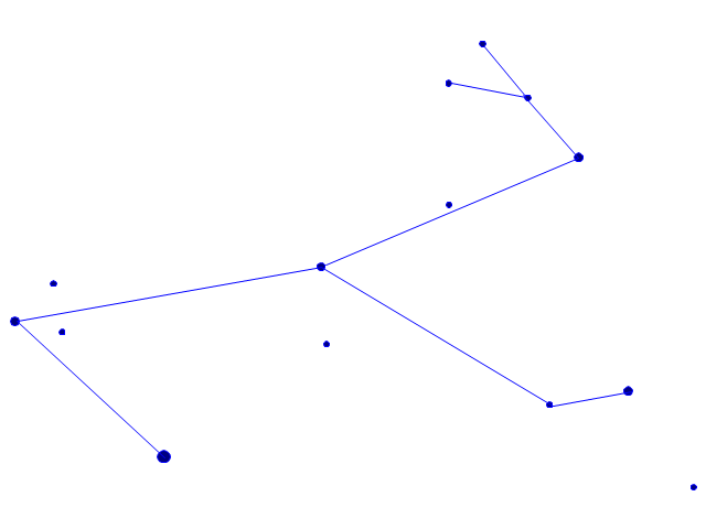
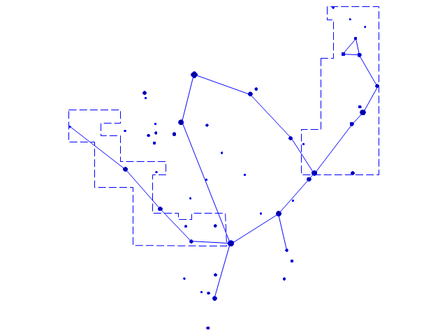
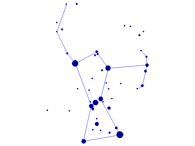
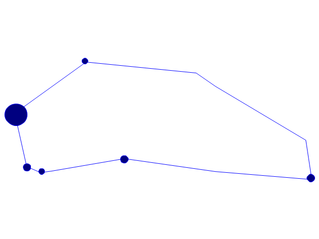
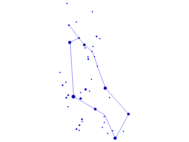
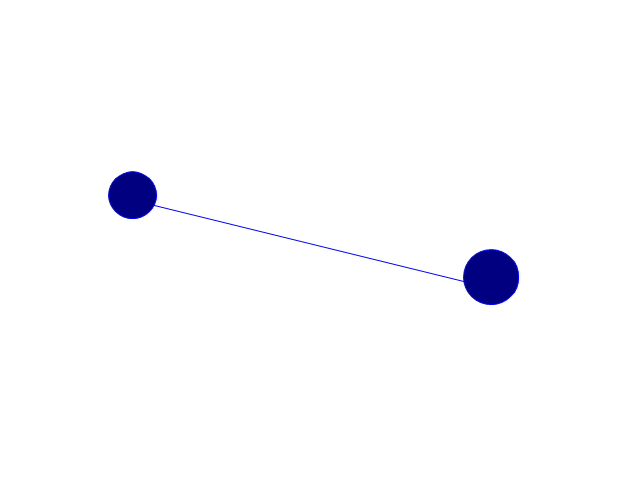
The vector stencils library "Constellations except Zodiac, Northern and Southern" contains 47 star constellation maps of all constellations except Zodiac, Northern (45-90 degrees) and Southern (45-90 degrees).
Use these shapes for drawing astronomical diagrams and illustrations in ConceptDraw PRO diagramming and vector drawing software extended with the Astronomy solution from the Science and Education area in ConceptDraw Solution Park.
Use these shapes for drawing astronomical diagrams and illustrations in ConceptDraw PRO diagramming and vector drawing software extended with the Astronomy solution from the Science and Education area in ConceptDraw Solution Park.
Andromeda
Antlia

Aquila
Auriga

Bootes
Caelum
Canes Venatici
Canis Major

Canis Minor

Centaurus

Cetus
Columba
Coma Berenices
Corona Australis
Corona Borealis

Corvus
Crater

Cygnus

Delphinus
Equuleus
Eridanus
Fornax
Grus
Hercules
Hydra

Lacerta

Leo Minor

Lepus
Lupus
Lynx

Lyra

Microscopium
Monoceros
Ophiuchus and Serpens
Orion
Pegasus

Perseus

Piscis Austrinus
Puppis
Pyxis

Sagitta
Sculptor
Scutum
Sextans
Triangulum
Vela
Vulpecula
Geo Map — South America Continent

Geo Map - South America - Mexico

Australia Map — New South Wales

Geo Map - Asia - Philippines

Geo Map - Africa - Mauritania

Geo Map - Asia - Pakistan

Geo Map — Australia — New Zealand

- Middle East Vector Map Png
- Middle East - Political map | 3D Column chart - Iran internet users ...
- Asian Map Drawing Wiki How
- Middle East - Political map | Geo Map - Asia | MENA's (Middle East ...
- Middle East - Political map | Geo Map - Asia | Political map of Asia ...
- Middle East - Political map | Redesigned Synonym
- Geo Map - Asia | Middle East - Political map | Continent Maps ...
- Middle East - Political map | World Continents Map | South America ...
- Geo Map - Asia - Jordan | Geo Map - Asia - Israel | Middle East ...
- Middle East - Political map | Southwest Asia - Political map | Map of ...
- Middle East - Political map | Middle East and North Africa's real GDP ...
- Aerospace - Vector stencils library
- Geo Map - Africa - Egypt | Geo Map - Asia - Israel | Geo Map - Africa ...
- Middle East - Political map | World Continents Map | Central Asia ...
- Canada political map | Southwest Asia - Political map | Middle East ...
- Geo Map - Asia - Yemen | Southwest Asia - Political map | Middle ...
- Geo Map — Asia | Middle East - Political map | Political map of Asia ...
- Caucasus and Central Asia 2000 - Political map | Middle East ...
- Syria Map Png Hd
- Geo Map - Asia - Papua New Guinea