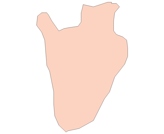
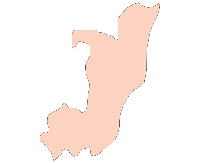
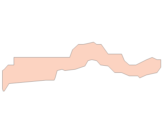
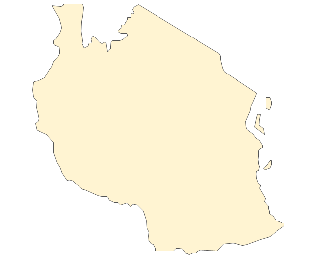
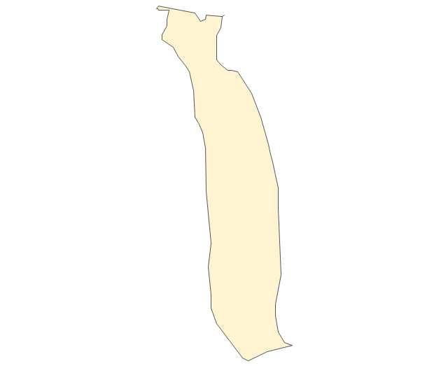
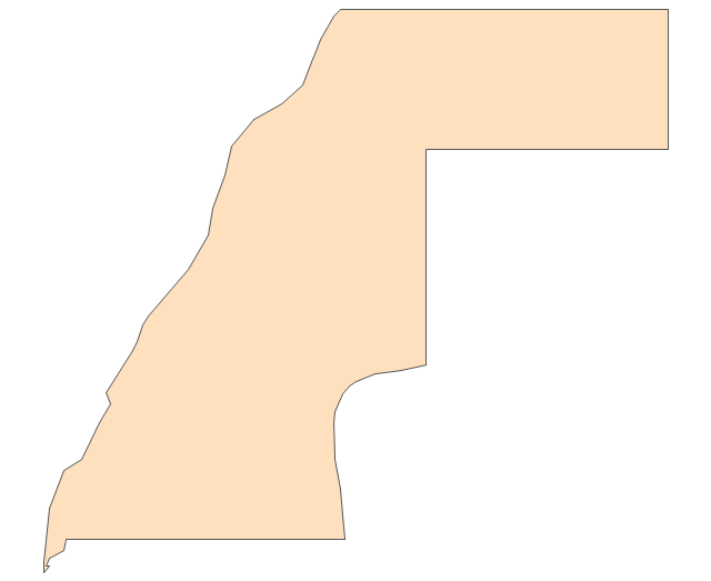
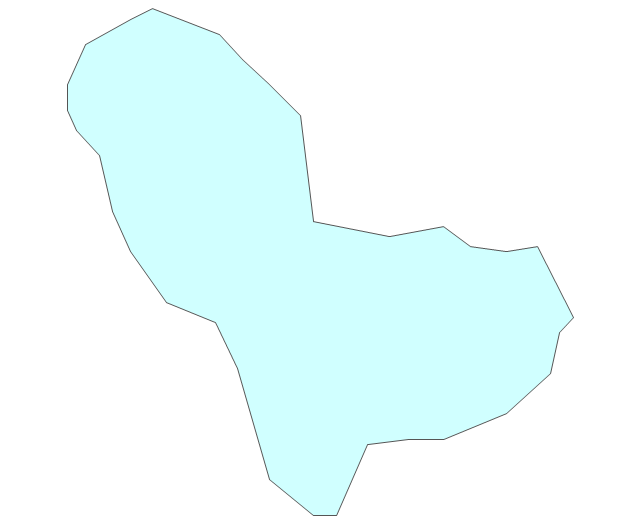
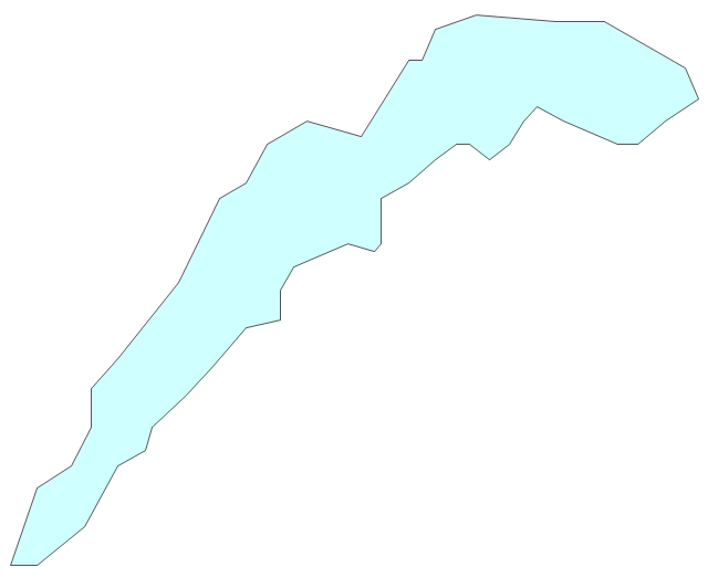
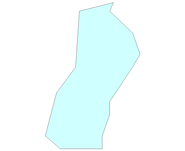
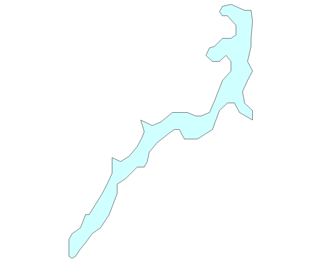
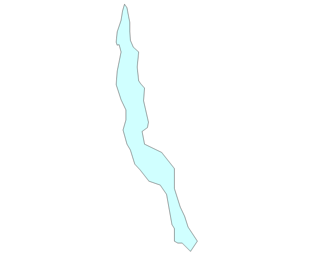
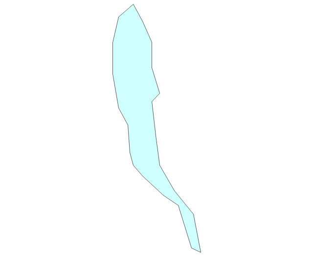
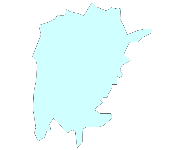
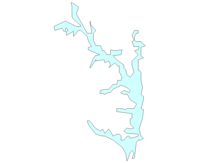
Geo Map - Africa - Uganda

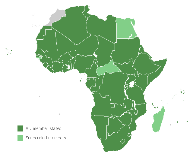
Map of Africa, with African Union member states in dark green and states with suspended membership in light green.
"The African Union (AU) is a union consisting of 54 African states. The only all-African state not in the AU is Morocco.
The most important decisions of the AU are made by the Assembly of the African Union, a semi-annual meeting of the heads of state and government of its member states. The AU's secretariat, the African Union Commission, is based in Addis Ababa, Ethiopia." [African Union. Wikipedia]
This political map example was redesigned from the Wikimedia Commons file: Map of the African Union with Suspended States.svg.
[commons.wikimedia.org/ wiki/ File:Map_ of_ the_ African_ Union_ with_ Suspended_ States.svg]
The example "Map of the African Union with Suspended States" was created using the ConceptDraw PRO diagramming and vector drawing software extended with the Continent Map solution from the Maps area of ConceptDraw Solution Park.
Political map - African Union
Geo Map - Africa

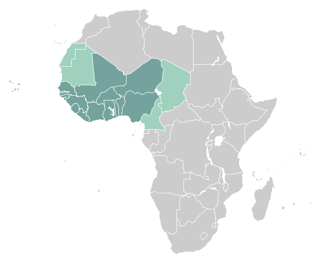
"West Africa, also called Western Africa and the West of Africa, is the westernmost region of the African continent. In line with the current membership of the Economic Community of West African States (ECOWAS), West Africa has been defined in Africa as including the fifteen countries of Benin, Burkina Faso, Cape Verde, Gambia, Ghana, Guinea, Guinea-Bissau, Ivory Coast, Liberia, Mali, Niger, Nigeria, Senegal, Sierra Leone and Togo." [West Africa. Wikipedia]
This example West Africa countries map was redesigned from the Wikimedia Commons file: Afryka Zachodnia.png.
[commons.wikimedia.org/ wiki/ File:Afryka_ Zachodnia.png]
The political map example "West Africa countries" was created using ConceptDraw PRO diagramming and vector drawing software extended with the Continent Map solution from the Maps area of ConceptDraw Solution Park.
Political map - West Africa
"East Africa or Eastern Africa is the easterly region of the African continent, variably defined by geography or geopolitics. In the UN scheme of geographic regions, 20 territories constitute Eastern Africa:
- Tanzania, Kenya, Uganda, Rwanda and Burundi – in Southeast Africa included in the African Great Lakes region and are members of the East African Community (EAC). Burundi and Rwanda are sometimes considered part of Central Africa.
- Djibouti, Eritrea, Ethiopia and Somalia – collectively known as the Horn of Africa.
- Mozambique and Madagascar – often considered part of Southern Africa. Madagascar has close cultural ties to Southeast Asia and the islands of the Indian Ocean.
- Malawi, Zambia and Zimbabwe – often included in Southern Africa, and formerly of the Central African Federation.
- Comoros, Mauritius and Seychelles – small island nations in the Indian Ocean.
- Réunion and Mayotte – French overseas territories also in the Indian Ocean.
- South Sudan – newly independent from Sudan." [East Africa. Wikipedia]
South Sudan has become independent on July 9, 2011. Sudan and South Sudan are shown with the new international border between them.
This East Africa political map was redesigned using the ConceptDraw PRO diagrammin and vector drawing software from the Wikimedia Commons file: Afryka Wschodnia.png.
[commons.wikimedia.org/ wiki/ File:Afryka_ Wschodnia.png]
The example "East Africa - Political map" is included in the Continent Maps solution from the Maps area of ConceptDraw Solution Park.
Political map - East Africa

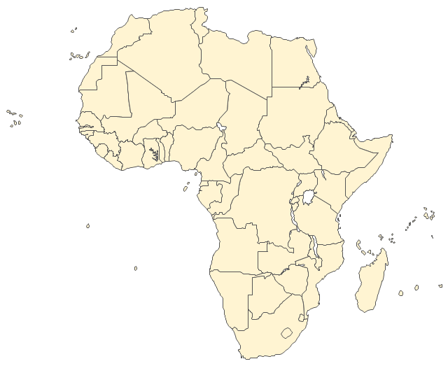
Geo Mapping Software Examples - World Map Outline

Types of Map - Overview

Spatial infographics Design Elements: Continental Map

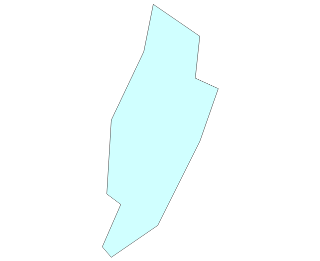
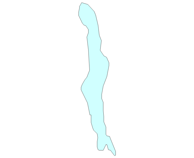
The vector stencils library "Africa" contains 62 country map contours for drawing thematic maps of Africa. Use it for visual representation of geospatial information, statistics and quantitative data.
"Africa is the world's second-largest and second-most-populous continent. ...
The continent includes Madagascar and various archipelagoes. It has 54 fully recognized sovereign states ("countries"), nine territories and two de facto independent states with limited or no recognition." [Africa. Wikipedia]
The map contours example "Africa - Vector stencils library" was created using the ConceptDraw PRO diagramming and vector drawing software extended with the Continent Maps solution from the Maps area of ConceptDraw Solution Park.
Africa
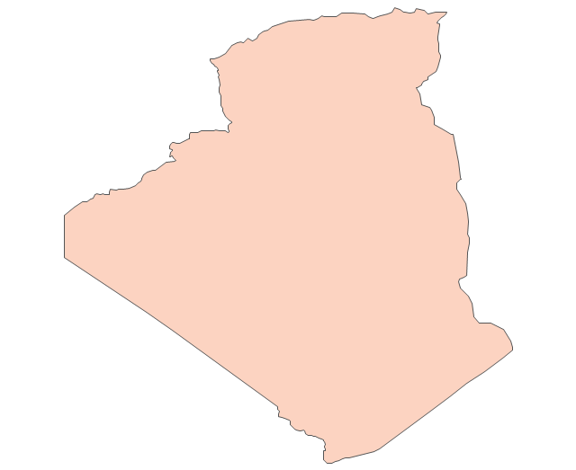
Algeria
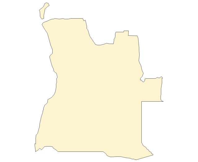
Angola
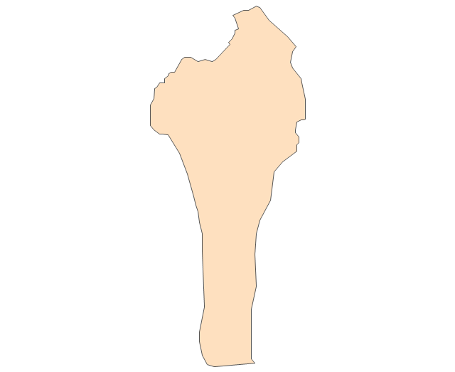
Benin
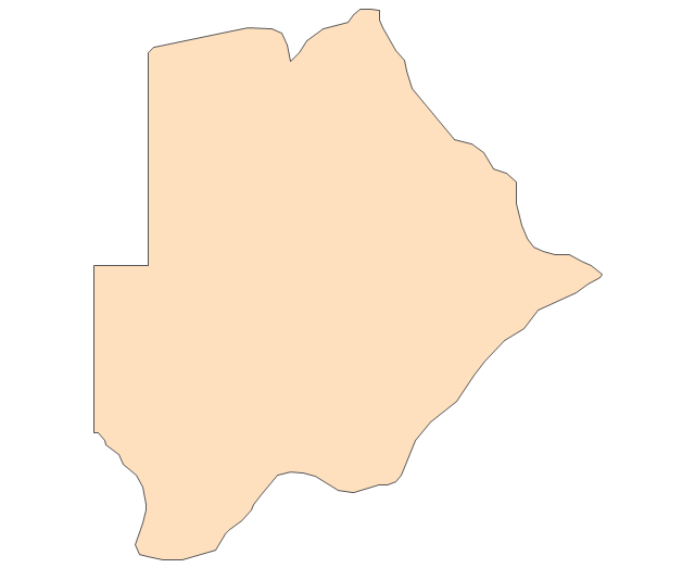
Botswana
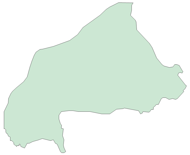
Burkina Faso
Burundi
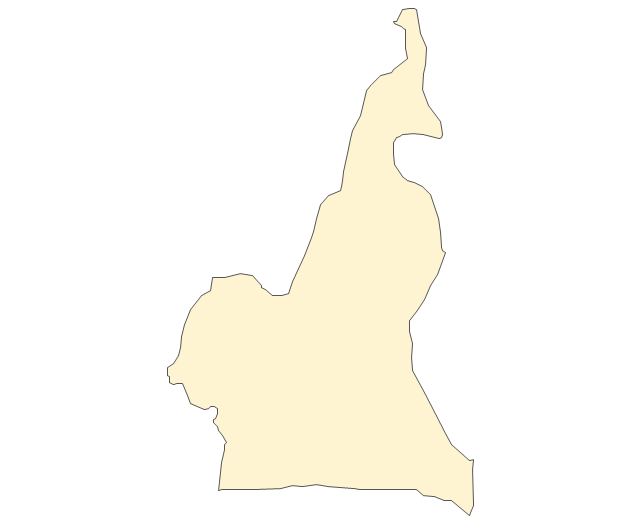
Cameroon
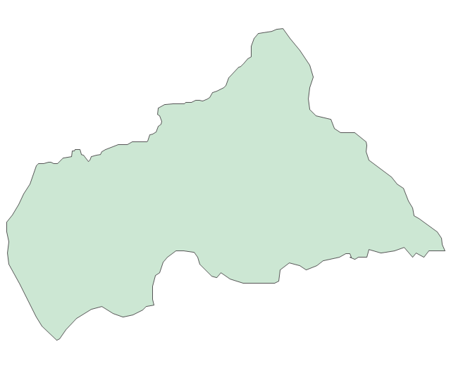
Central African Republic
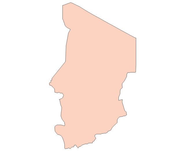
Chad
Republic of the Congo
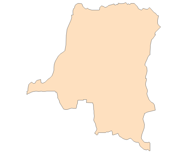
Democratic Republic of the Congo
Ivory Coast (Cote d'Ivoire)
-africa---vector-stencils-library.png--diagram-flowchart-example.png)
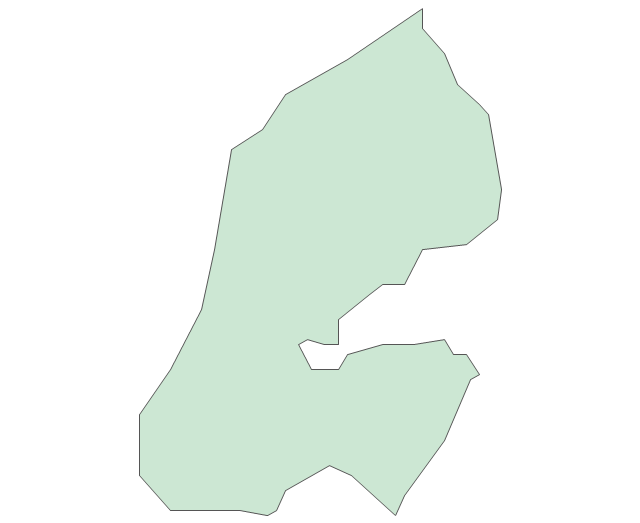
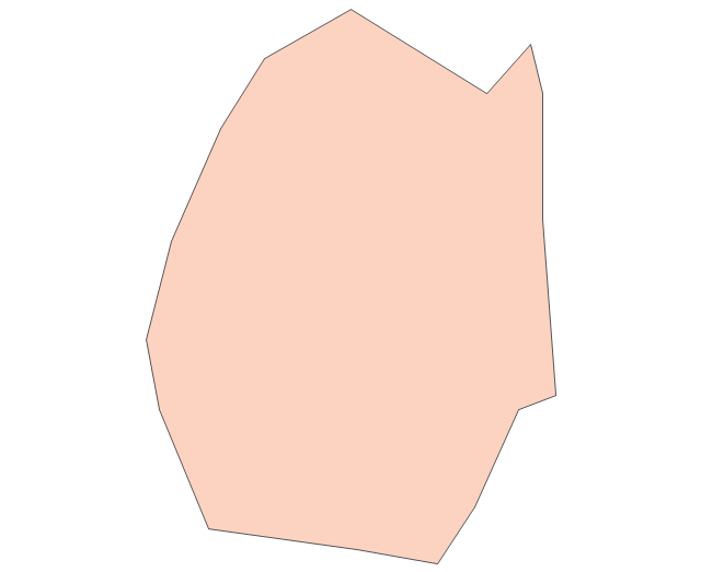
Djibouti
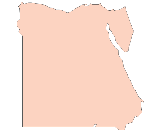
Egypt
Equatorial Guinea
Eritrea
Ethiopia
Gabon
Gambia
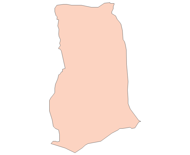
Ghana
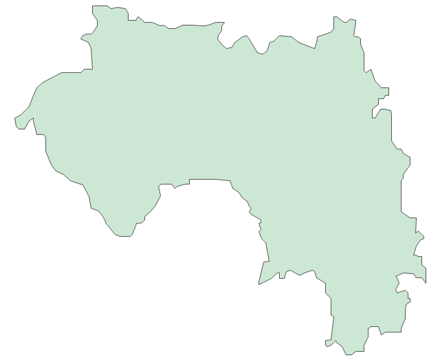
Guinea
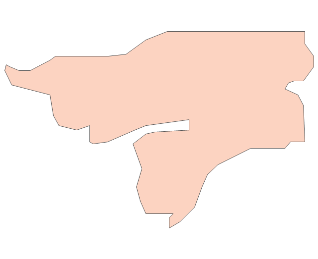
Guinea-Bissau
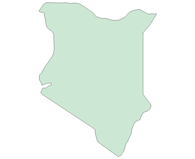
Kenya
Lesotho
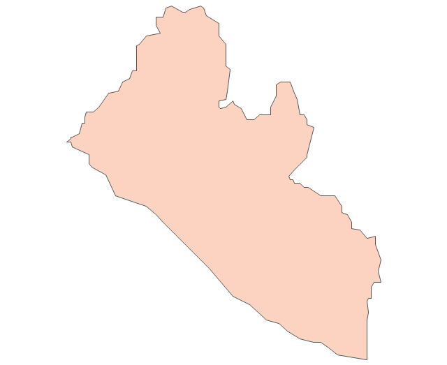
Liberia
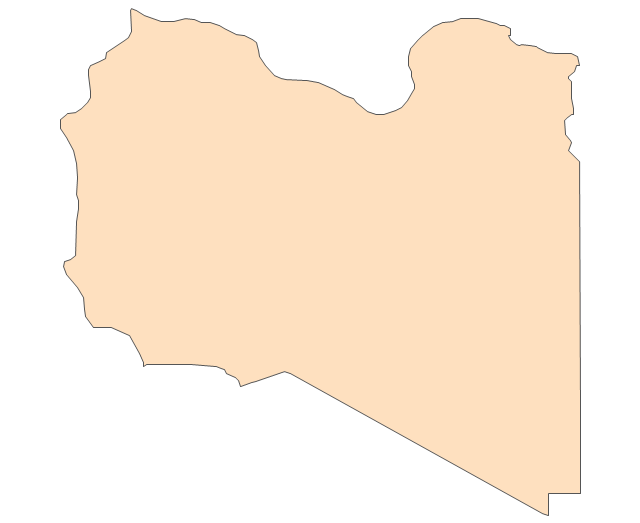
Libya
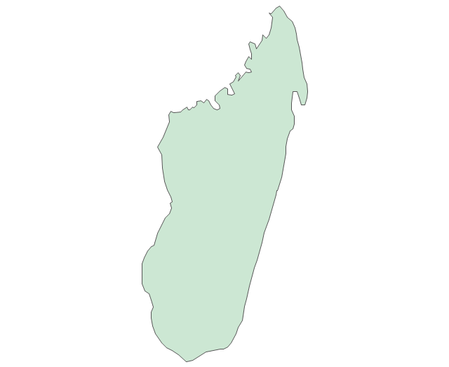
Madagascar
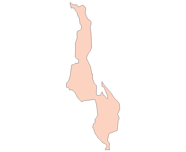
Malawi
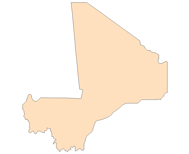
Mali
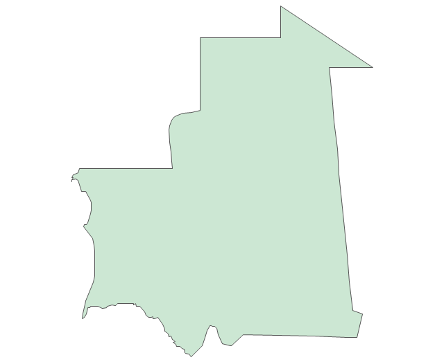
Mauritania
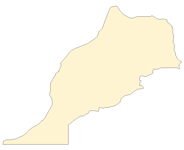
Morocco
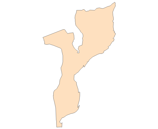
Mozambique
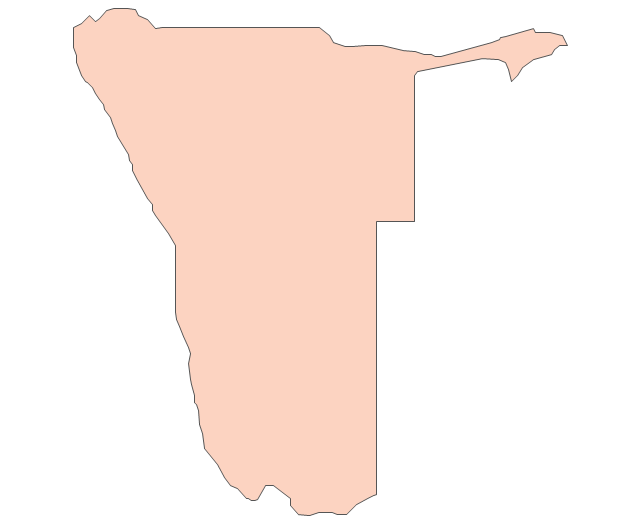
Namibia
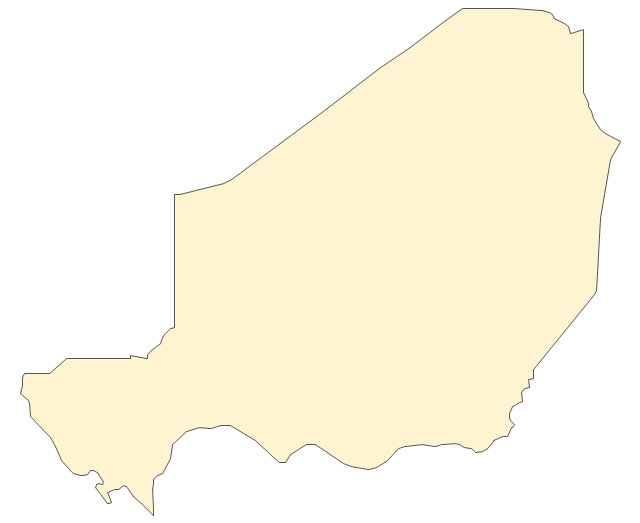
Niger
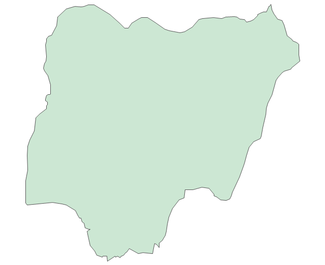
Nigeria
Rwanda
Senegal

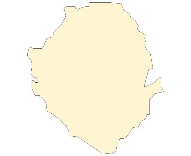
Sierra Leone
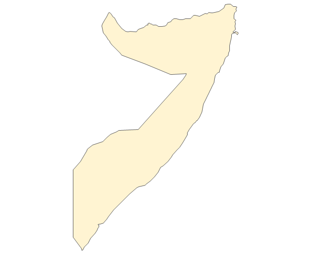
Somalia
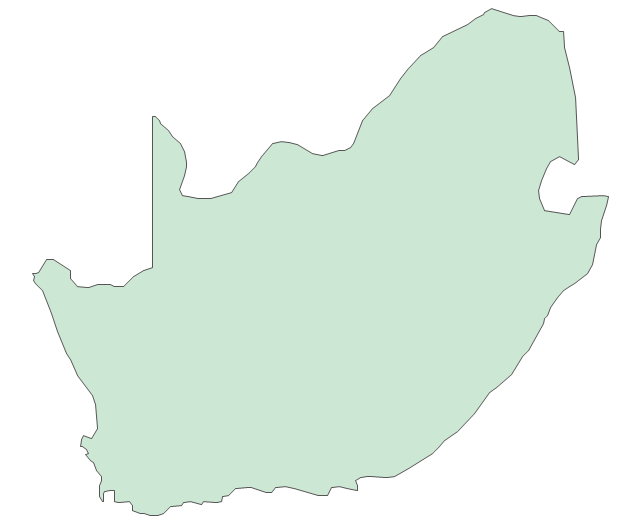
South Africa
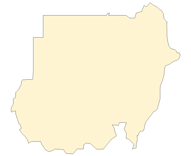
Sudan
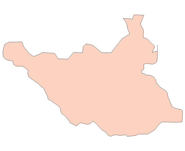
South Sudan
Swaziland
Tanzania
Togo
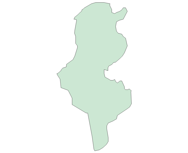
Tunisia
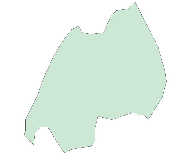
Uganda
Western Sahara
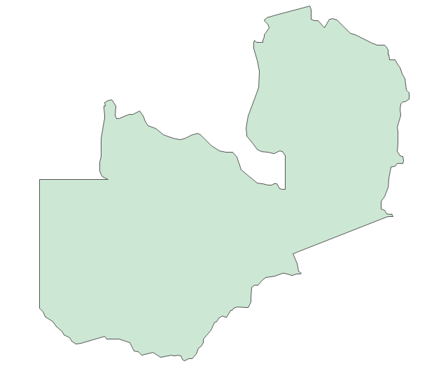
Zambia
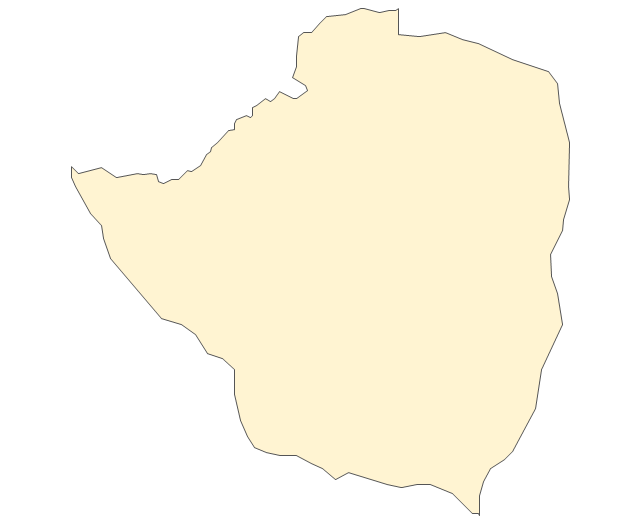
Zimbabwe
Lake Albert
Lake Chad
Lake Kariba
Lake Kivu
Lake Malawi
Lake Mweru
Lake Nasser
Lake Tanganyika
Lake Turkana
Lake Victoria
Lake Volta
Continents Map

 Continent Maps
Continent Maps solution extends ConceptDraw PRO software with templates, samples and libraries of vector stencils for drawing the thematic maps of continents, state maps of USA and Australia.
Continents Map
Geo Map - World

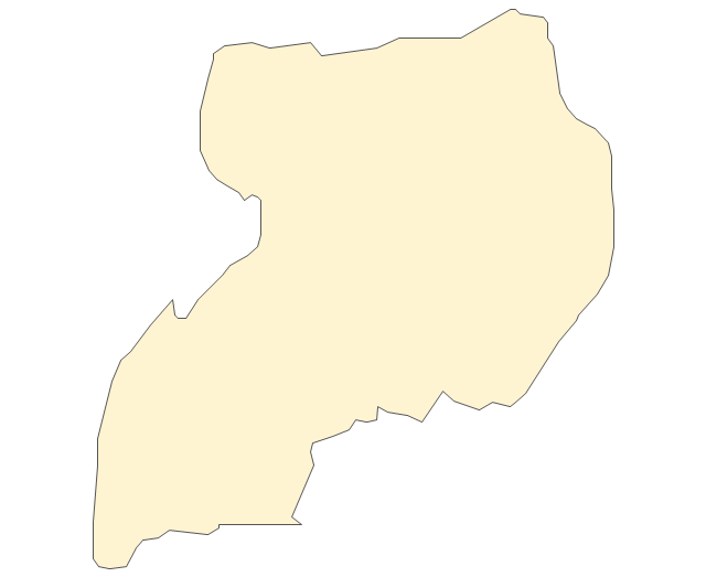
Geo Map - Africa - Botswana

Geo Map - Africa - Tanzania

- Drawing Of A Map Of East Africa
- Examples Of Thematic Maps In Uganda
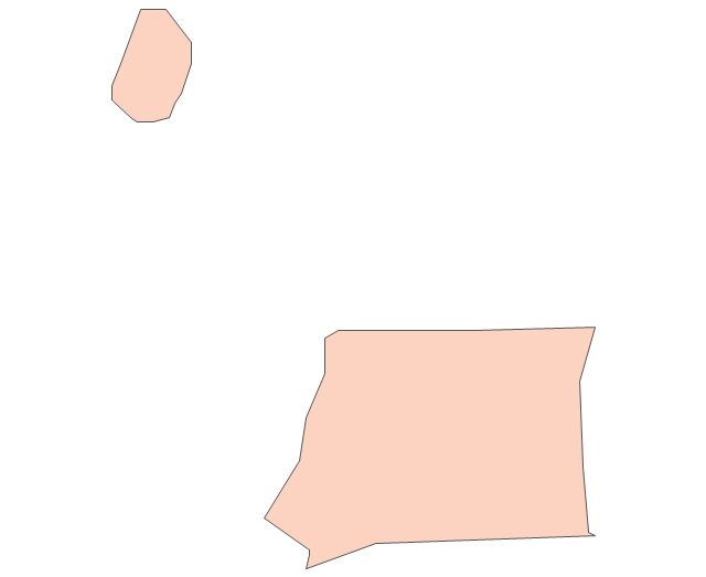
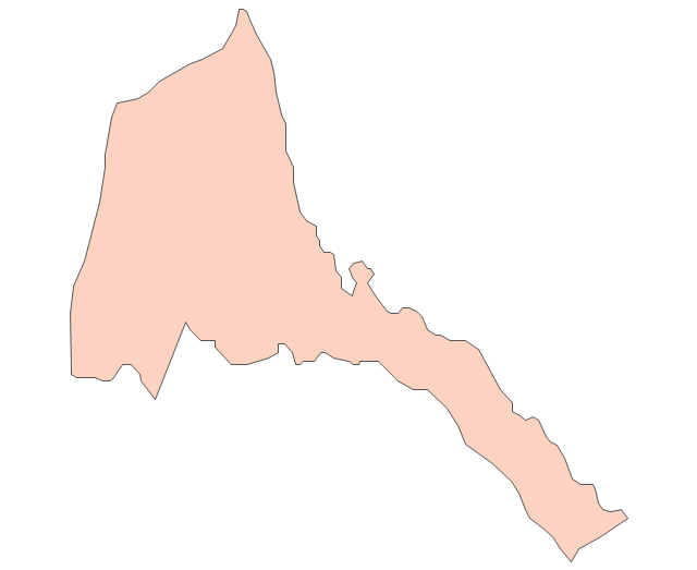
- Geo Map - Africa - Eritrea
- Map of the African Union with Suspended States | Geo Map - Africa ...
- Geo Map - Africa | Map of the African Union with Suspended States ...
- Geo Map - Africa - Western Sahara | Africa - Vector stencils library ...
- Geo Map - Africa - Nigeria | West Africa countries | Africa - Vector ...
- Maghreb Countries Map Example
- Maps | Geo Map - Africa | Africa - Vector stencils library | Drawings ...
- Geo Map - Africa - Uganda | Geo Mapping Software Examples ...
- Geo Map - Africa - Madagascar
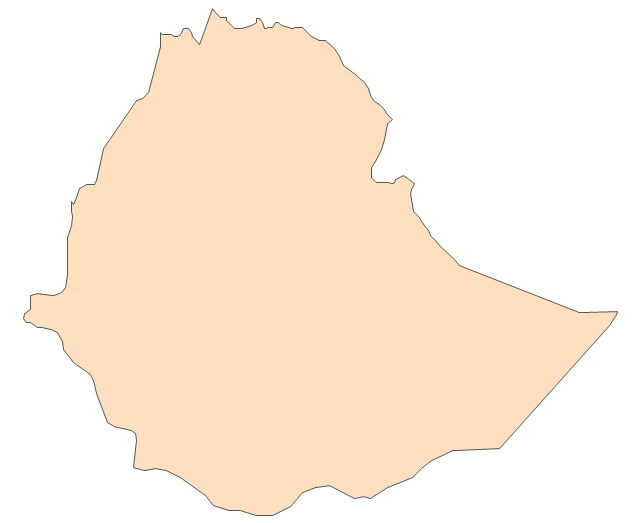
- Geo Map - Africa - Ethiopia
- Botswana Map Of Africa
- Geo Map - Africa - Nigeria | West Africa countries | Geo Map - Africa ...
- East Africa - Political map | West Africa countries | Geo Map - Asia ...
- West Africa countries | Geo Map - Africa - Nigeria | Africa - Vector ...
- Geo Map - Africa - Ghana | Africa - Vector stencils library | Geo Map ...
- Geo Map - Africa - Tanzania
- Geo Map - Africa - Egypt | Egypt timeline of communication ...
- Africa map with countries, main cities and capitals - Template | Geo ...