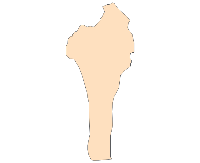
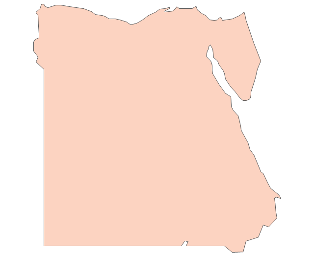
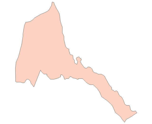
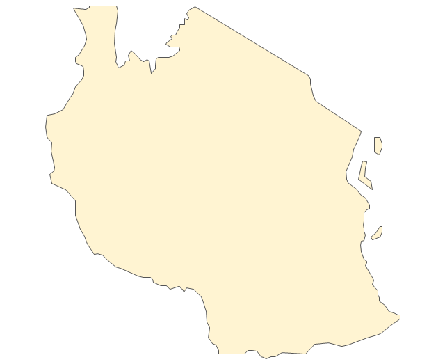
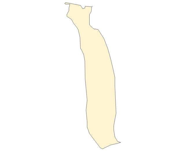
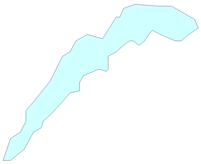
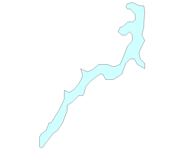
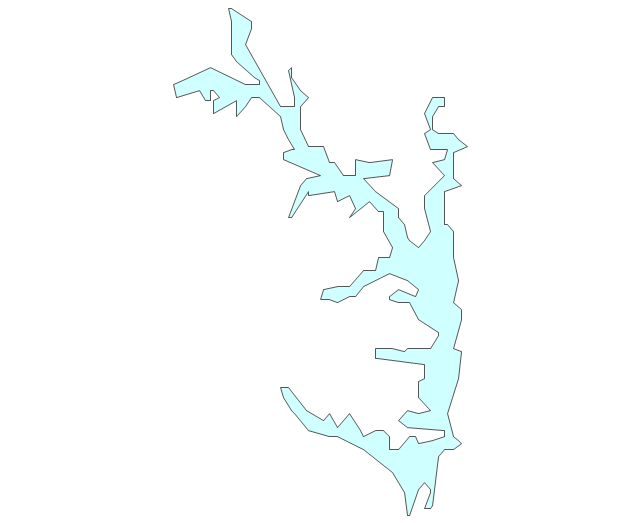
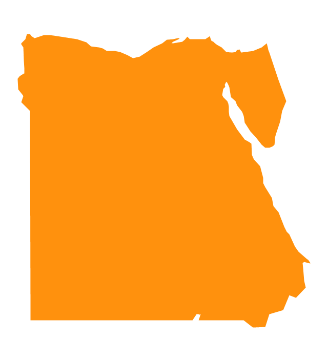
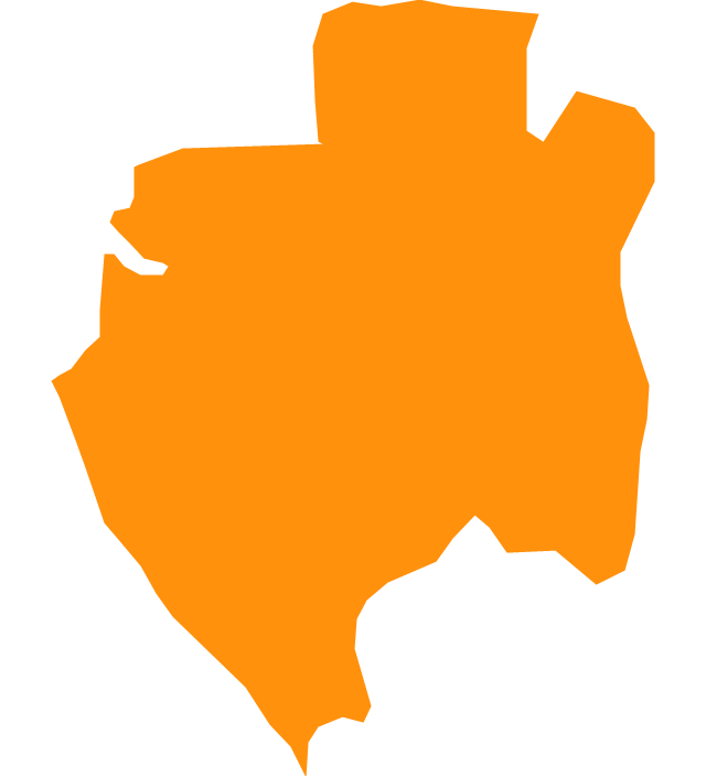
Geo Map - Africa - Egypt

This typography infographics example was redesigned from the Wikimedia Commons file: Egypt timeline of communication shutdown during jan25revolution.jpg. [commons.wikimedia.org/ wiki/ File:Egypt_ timeline_ of_ communication_ shutdown_ during_ jan25revolution.jpg]
This file is licensed under the Creative Commons Attribution 3.0 Unported license. [creativecommons.org/ licenses/ by/ 3.0/ deed.en]
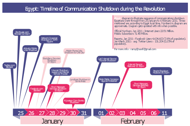
Diagram to illustrate sequence of communications shutdown Egyptians went through from 25 January to 06 February 2011. Times mentioned are according to Egypt local time. Numbers in the diagram are approximate. Last update of the diagram October 2011.
"2011 Internet shutdown.
Diagram to illustrate sequence of communications shutdown Egyptians went through from 25 January to 06 February 2011. Times mentioned are according to Egypt local time. Numbers in the diagram are approximate. Last update of the diagram October 2011.
The 2011 Egyptian protests began on 25 January 2011. As a result, on January 25 and 26, the government blocked Twitter in Egypt and later Facebook was blocked as well.
On January 27, various reports claimed that access to the Internet in the entire country had been shut down. ...
On February 2, connectivity was re-established by the four main Egyptian service providers. A week later, the heavy filtering that occurred at the height of the revolution had ended and bloggers and online activists who had been arrested were released." [Internet in Egypt. Wikipedia]
The example "Egypt timeline of communication shutdown during jan 25 revolution" was created using the ConceptDraw PRO diagramming and vector drawing software extended with the Typography Infographics solition from the area "What is infographics" in ConceptDraw Solution Park.
This file is licensed under the Creative Commons Attribution 3.0 Unported license. [creativecommons.org/ licenses/ by/ 3.0/ deed.en]
Diagram to illustrate sequence of communications shutdown Egyptians went through from 25 January to 06 February 2011. Times mentioned are according to Egypt local time. Numbers in the diagram are approximate. Last update of the diagram October 2011.
"2011 Internet shutdown.
Diagram to illustrate sequence of communications shutdown Egyptians went through from 25 January to 06 February 2011. Times mentioned are according to Egypt local time. Numbers in the diagram are approximate. Last update of the diagram October 2011.
The 2011 Egyptian protests began on 25 January 2011. As a result, on January 25 and 26, the government blocked Twitter in Egypt and later Facebook was blocked as well.
On January 27, various reports claimed that access to the Internet in the entire country had been shut down. ...
On February 2, connectivity was re-established by the four main Egyptian service providers. A week later, the heavy filtering that occurred at the height of the revolution had ended and bloggers and online activists who had been arrested were released." [Internet in Egypt. Wikipedia]
The example "Egypt timeline of communication shutdown during jan 25 revolution" was created using the ConceptDraw PRO diagramming and vector drawing software extended with the Typography Infographics solition from the area "What is infographics" in ConceptDraw Solution Park.
Infographics
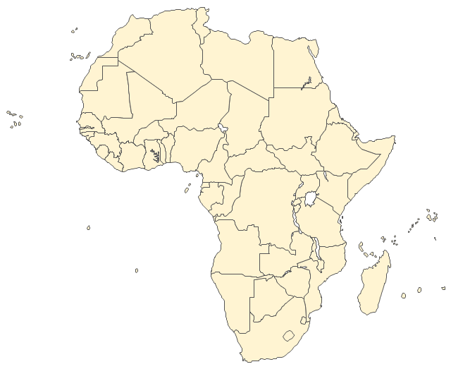
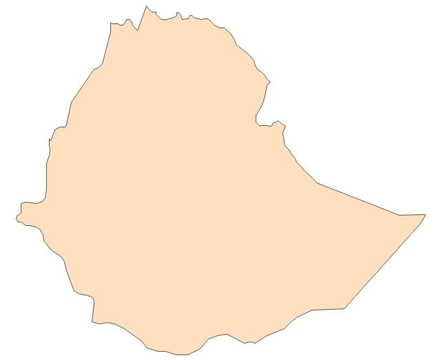
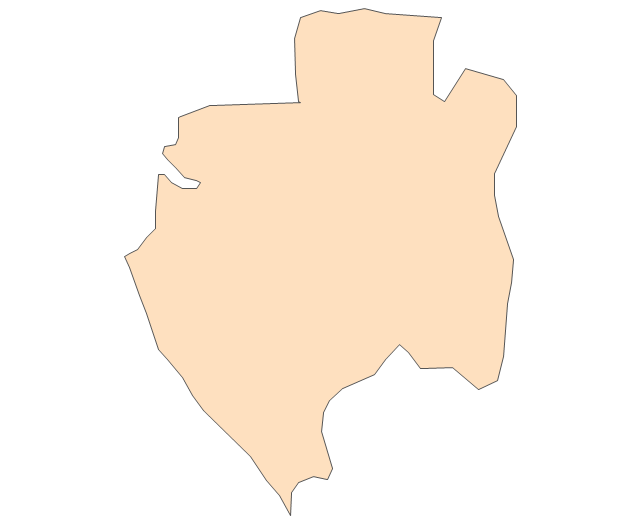
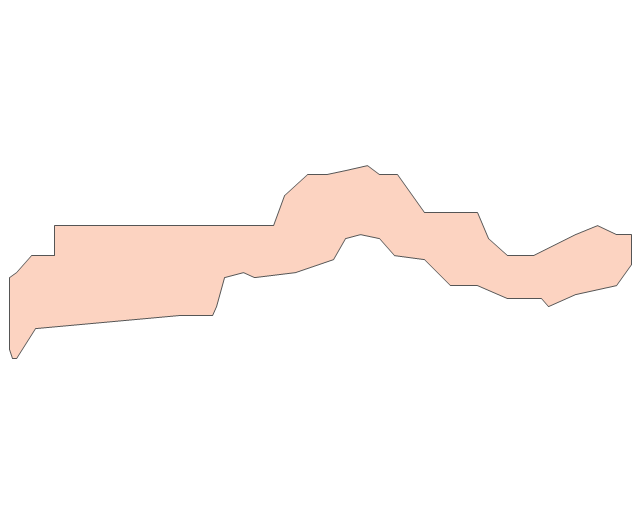
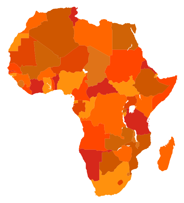
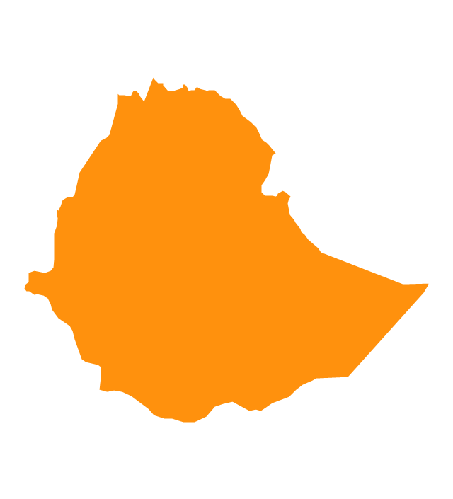
The vector stencils library "Africa" contains 62 country map contours for drawing thematic maps of Africa. Use it for visual representation of geospatial information, statistics and quantitative data.
"Africa is the world's second-largest and second-most-populous continent. ...
The continent includes Madagascar and various archipelagoes. It has 54 fully recognized sovereign states ("countries"), nine territories and two de facto independent states with limited or no recognition." [Africa. Wikipedia]
The map contours example "Africa - Vector stencils library" was created using the ConceptDraw PRO diagramming and vector drawing software extended with the Continent Maps solution from the Maps area of ConceptDraw Solution Park.
Africa
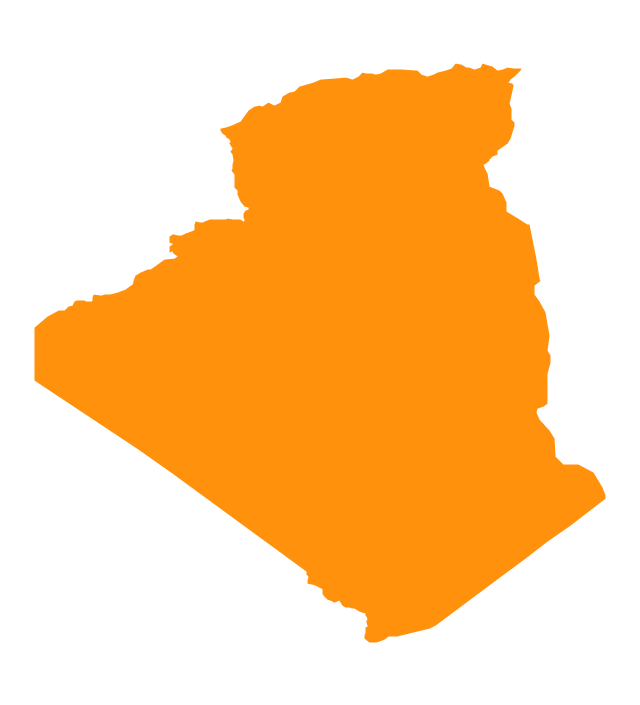
Algeria
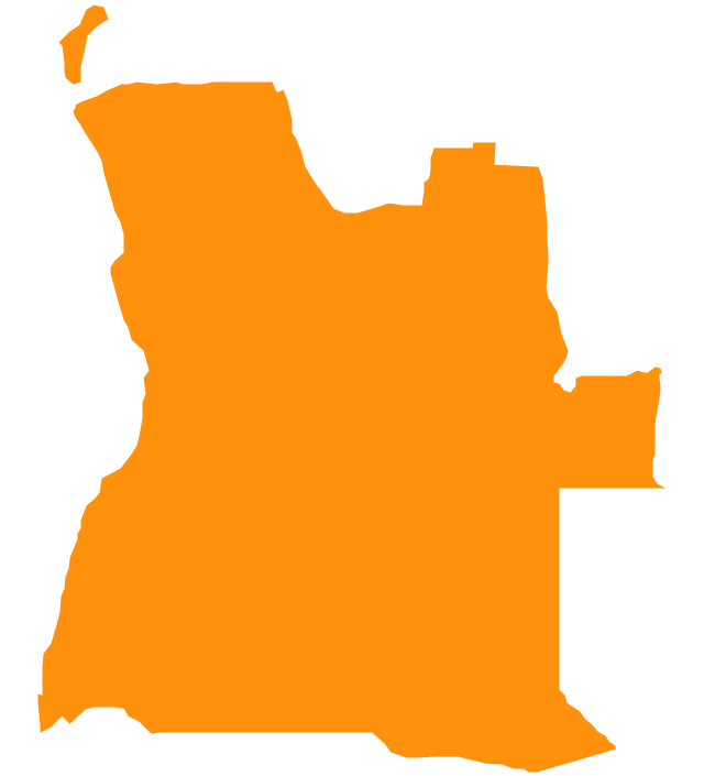
Angola
Benin
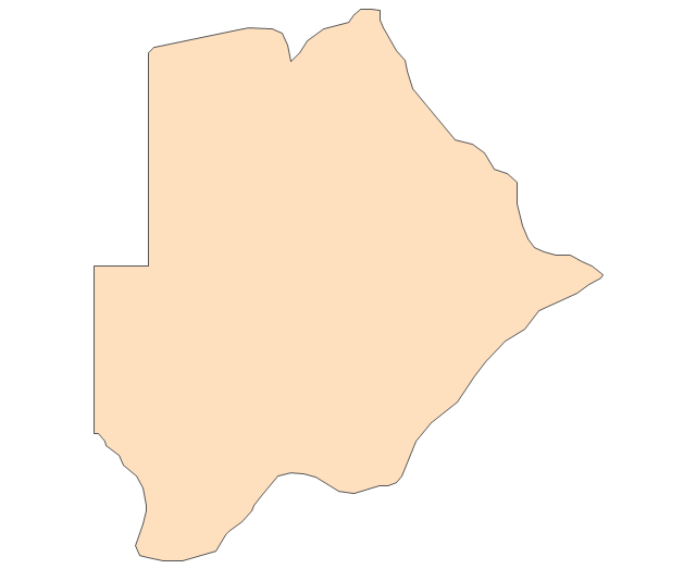
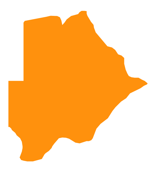
Botswana
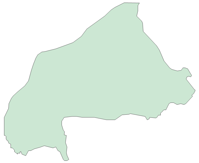
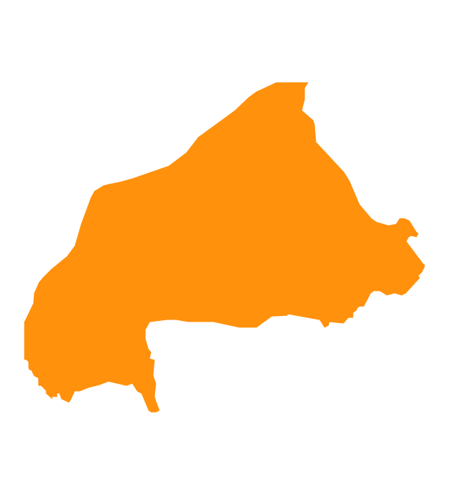
Burkina Faso
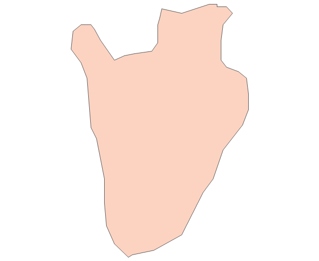
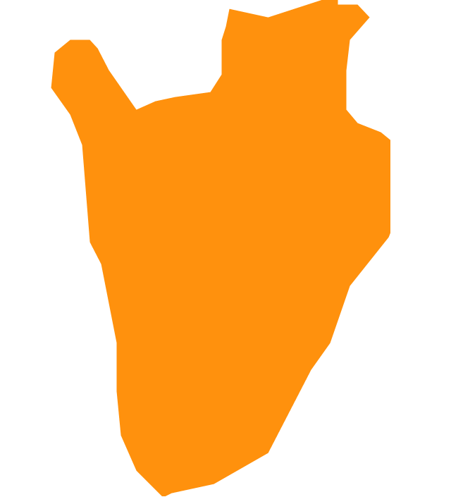
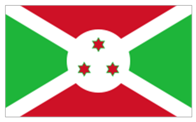
Burundi
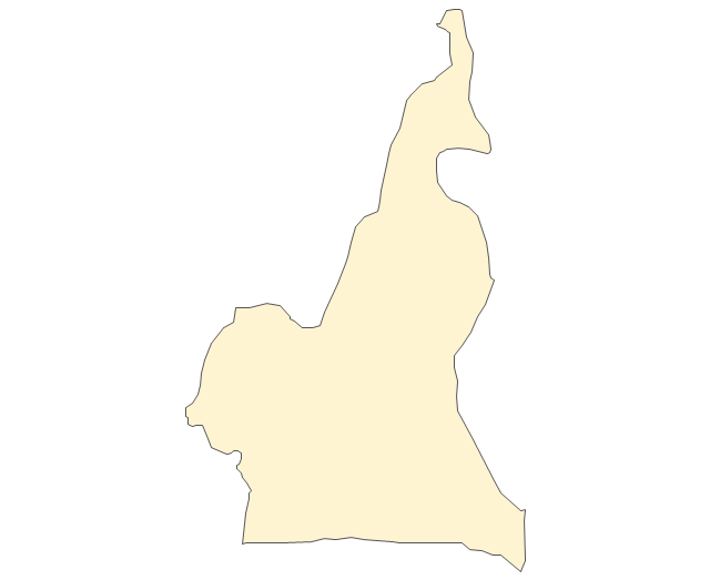
Cameroon
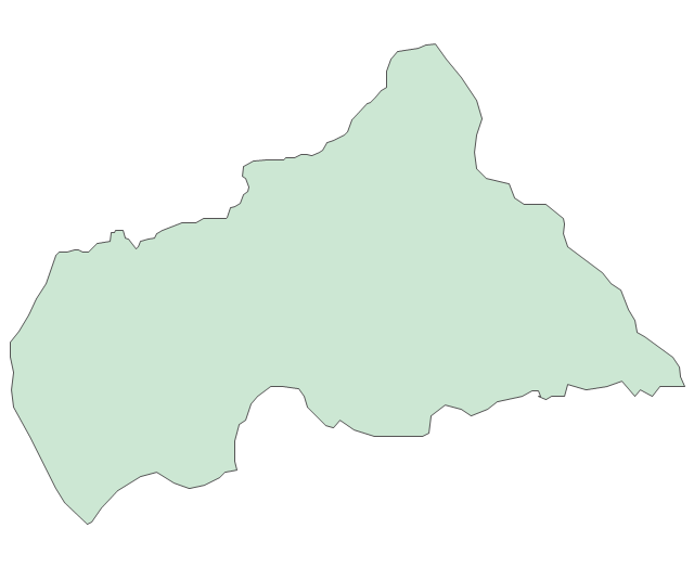
Central African Republic
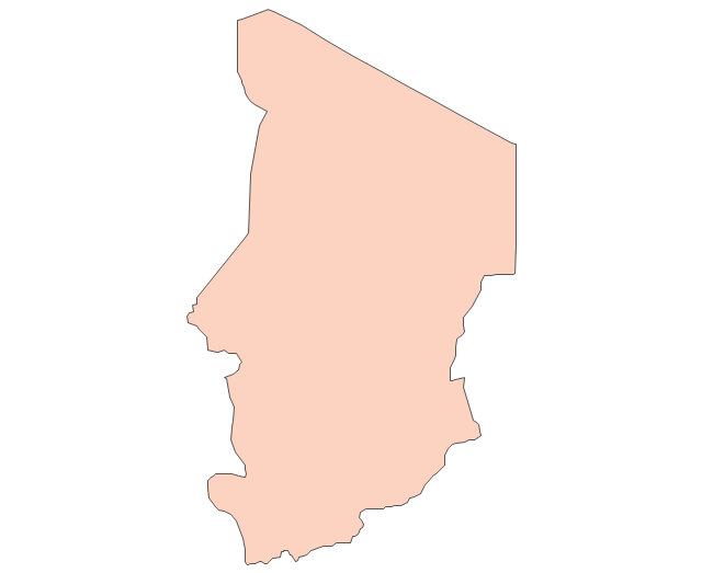
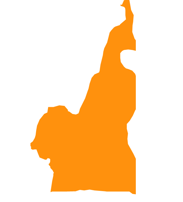
Chad
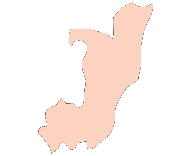
Republic of the Congo
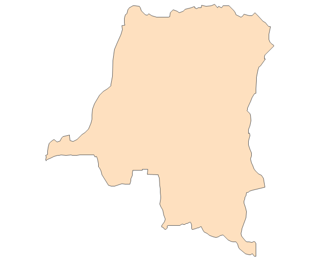
Democratic Republic of the Congo
Ivory Coast (Cote d'Ivoire)
-africa---vector-stencils-library.png--diagram-flowchart-example.png)
Djibouti
Egypt
Equatorial Guinea
Eritrea
Ethiopia
Gabon
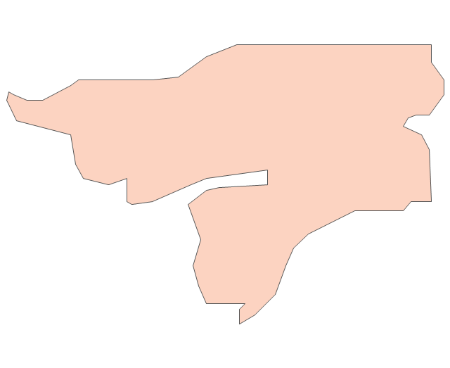
Gambia
Ghana
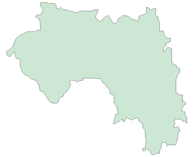
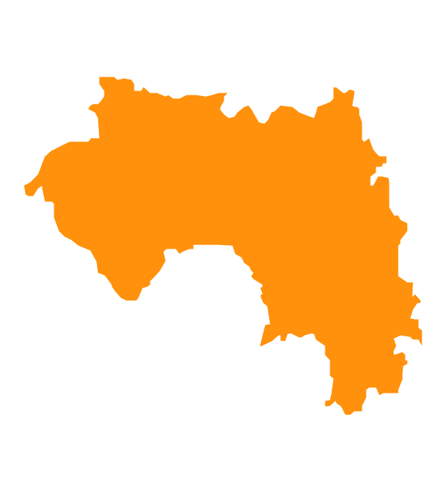
Guinea
Guinea-Bissau
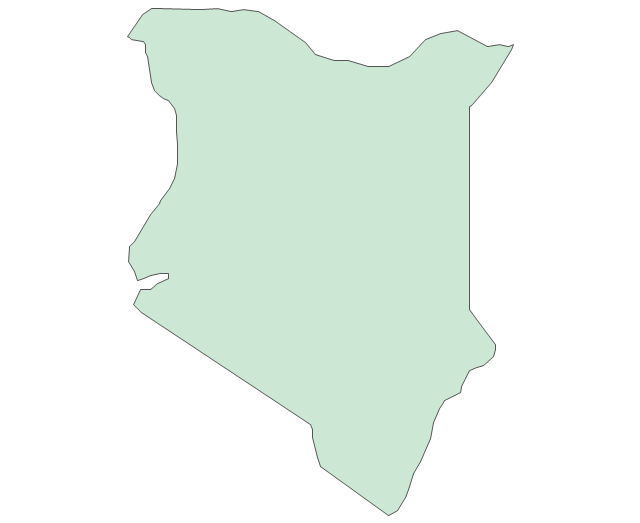
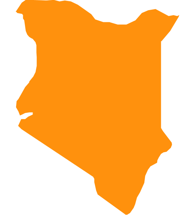
Kenya
Lesotho
Liberia
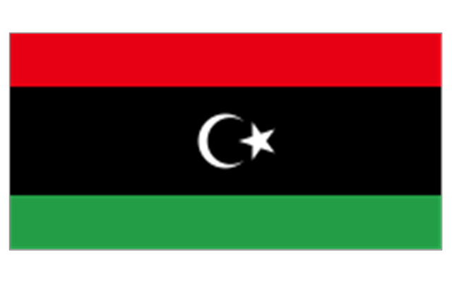
Libya
Madagascar
Malawi
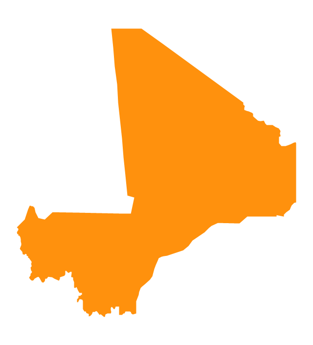
Mali
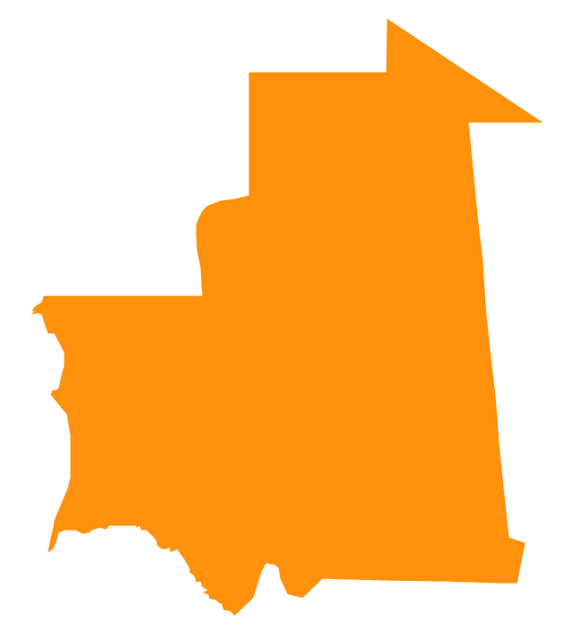
Mauritania
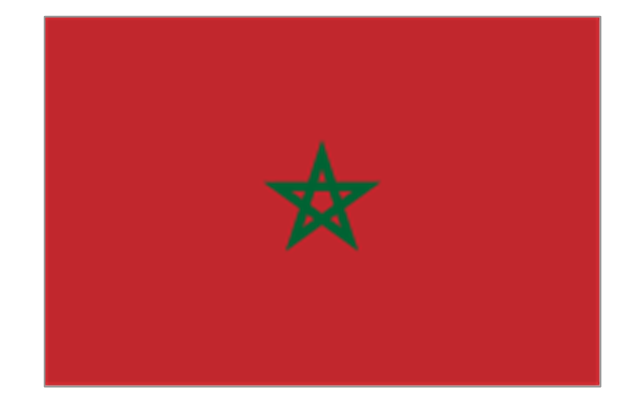
Morocco
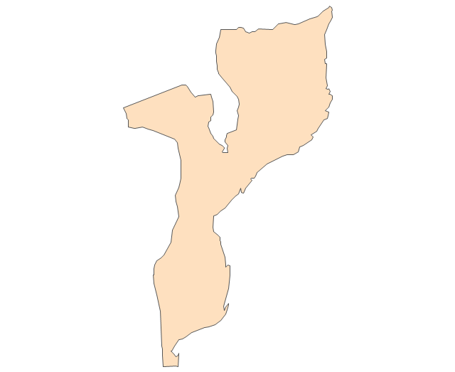
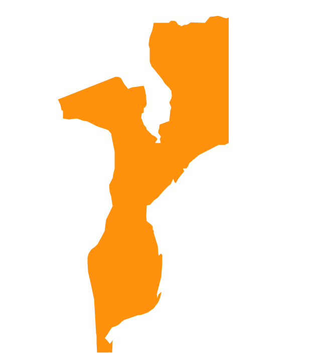
Mozambique
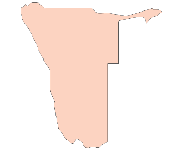
Namibia
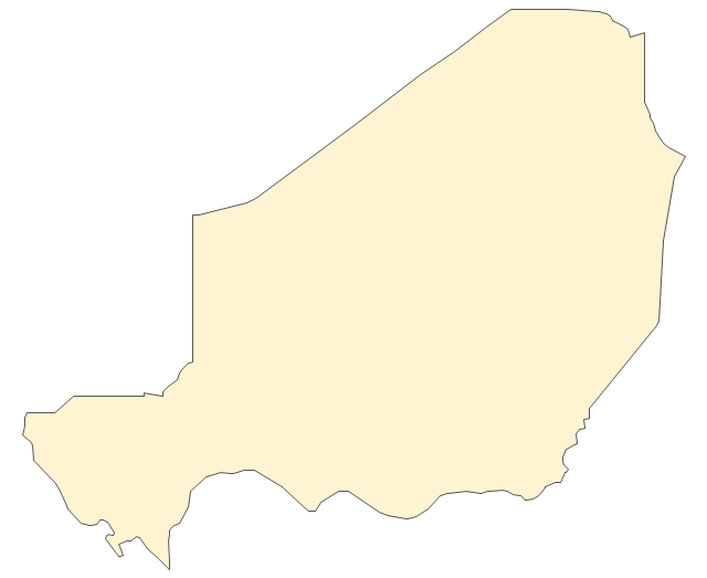
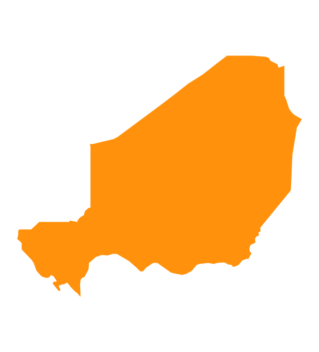
Niger
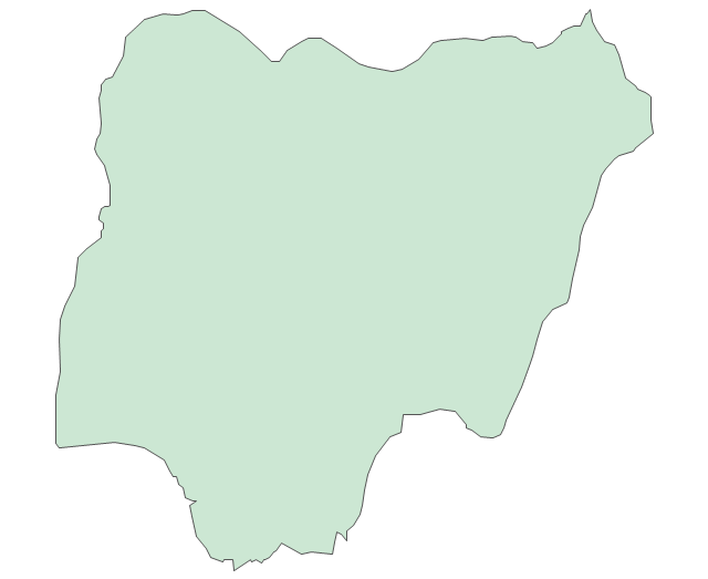
Nigeria
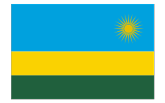
Rwanda
Senegal

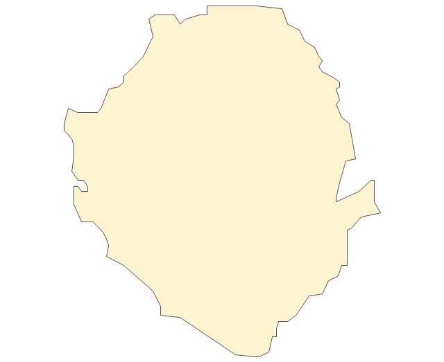
Sierra Leone
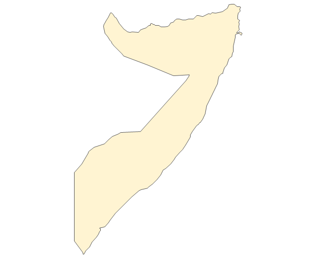
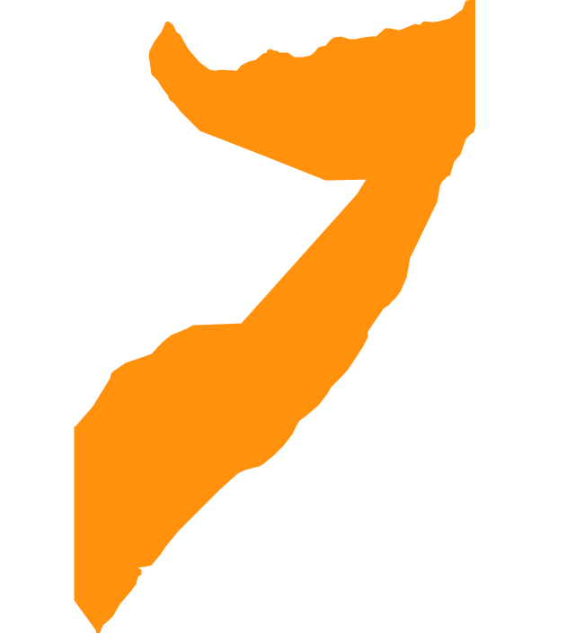
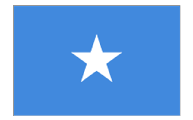
Somalia
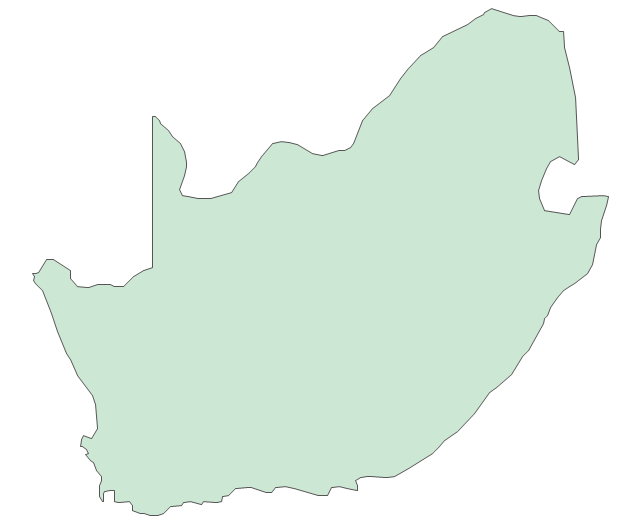
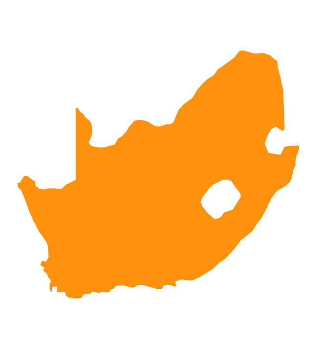
South Africa
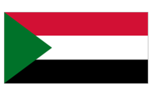
Sudan
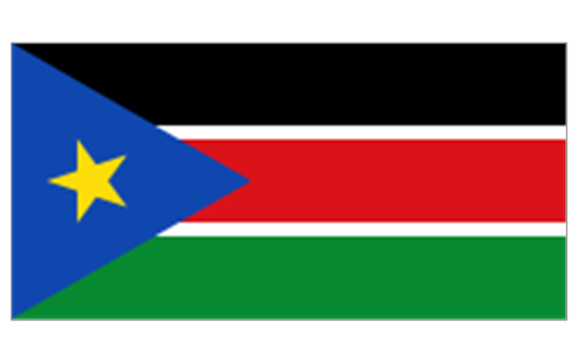
South Sudan
Swaziland
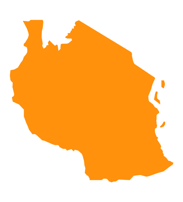
Tanzania
Togo
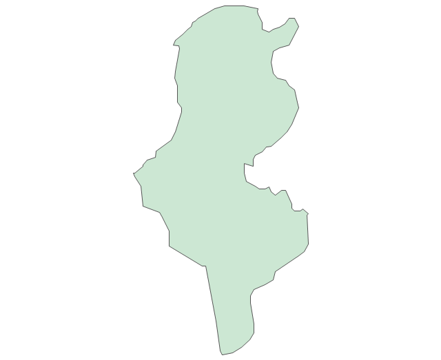
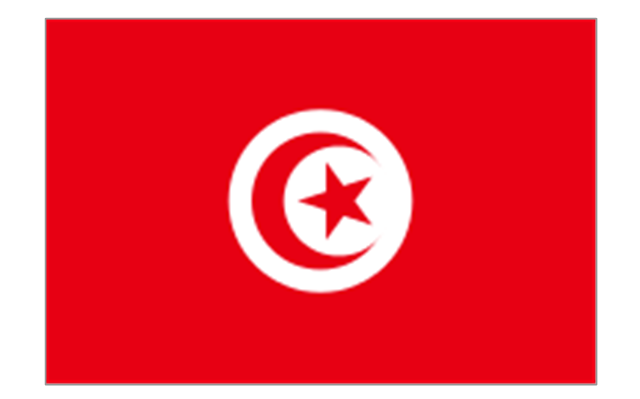
Tunisia
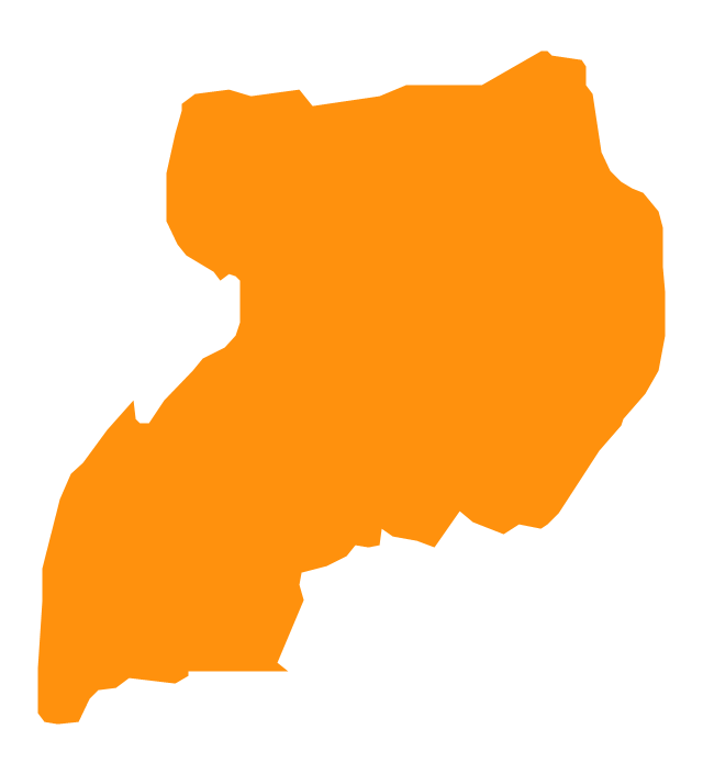
Uganda
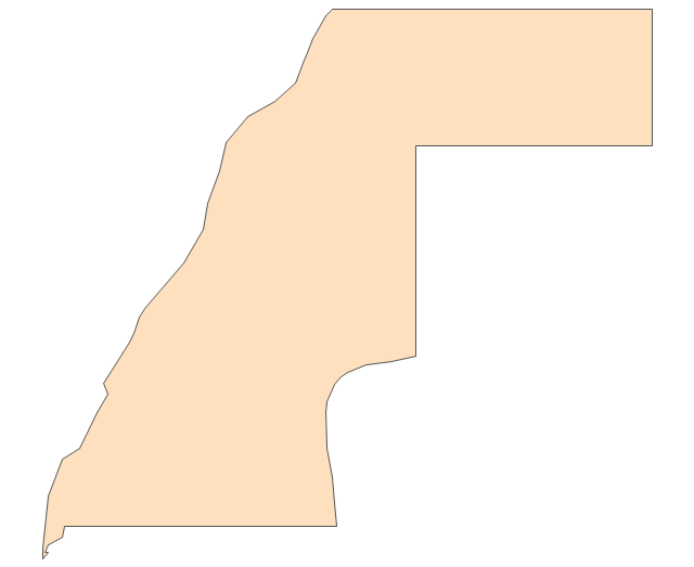
Western Sahara
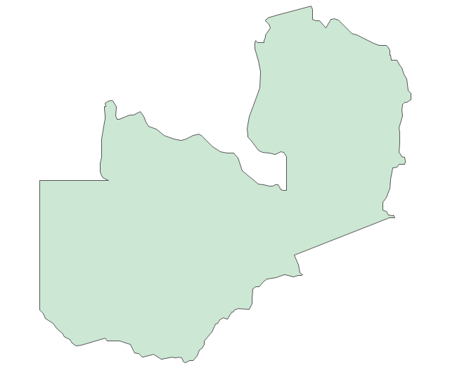
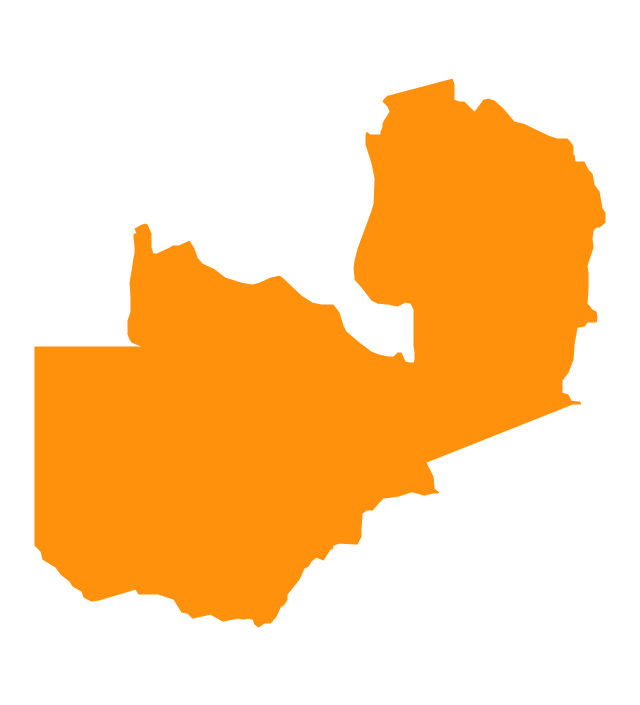
Zambia
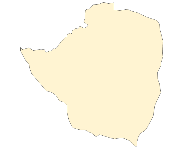
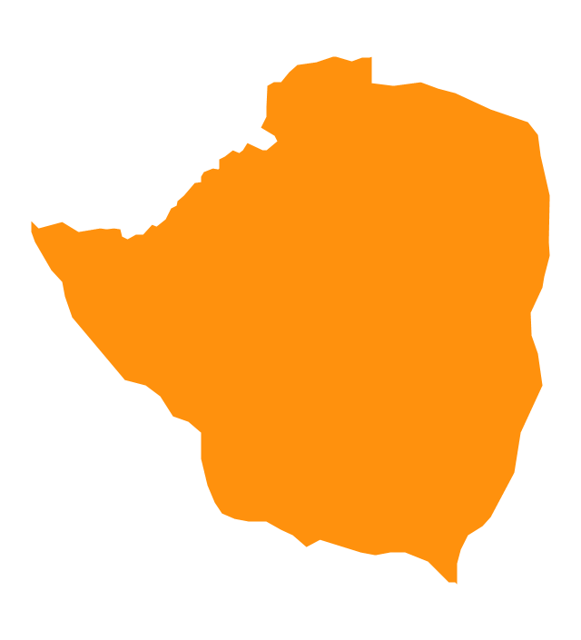
Zimbabwe
Lake Albert
Lake Chad
Lake Kariba
Lake Kivu
Lake Malawi
Lake Mweru
Lake Nasser
Lake Tanganyika
Lake Turkana
Lake Victoria
Lake Volta
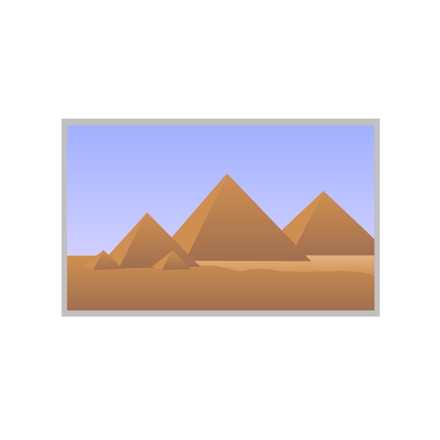
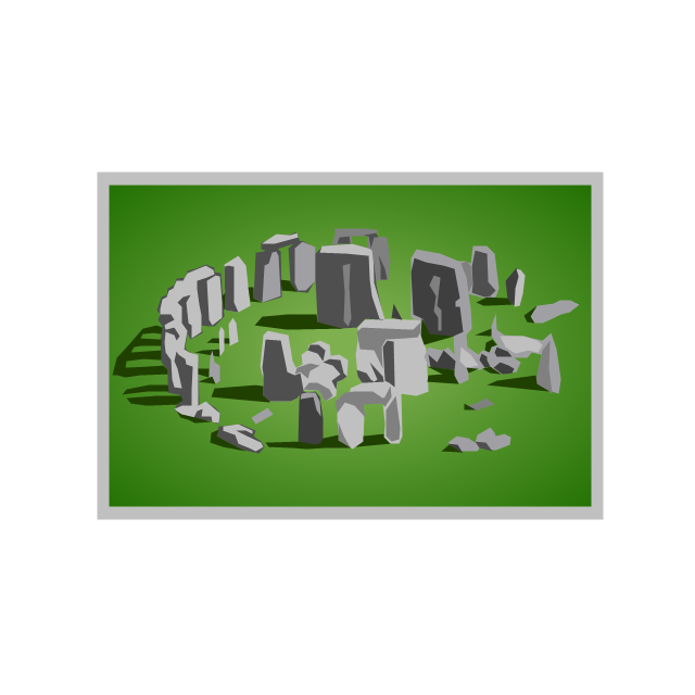
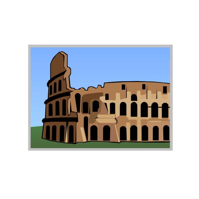
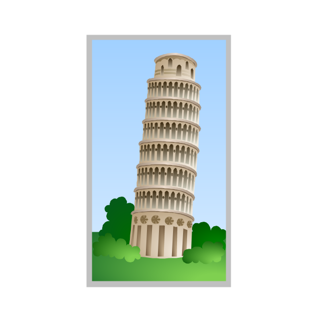
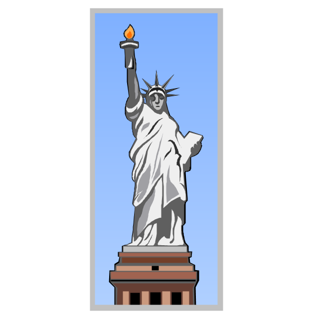
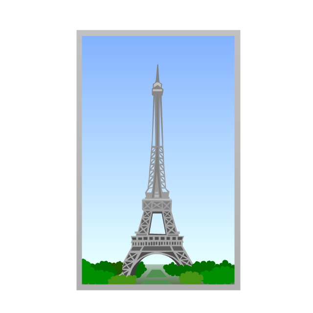
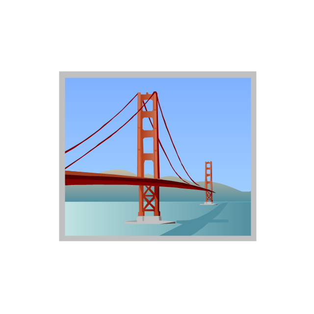
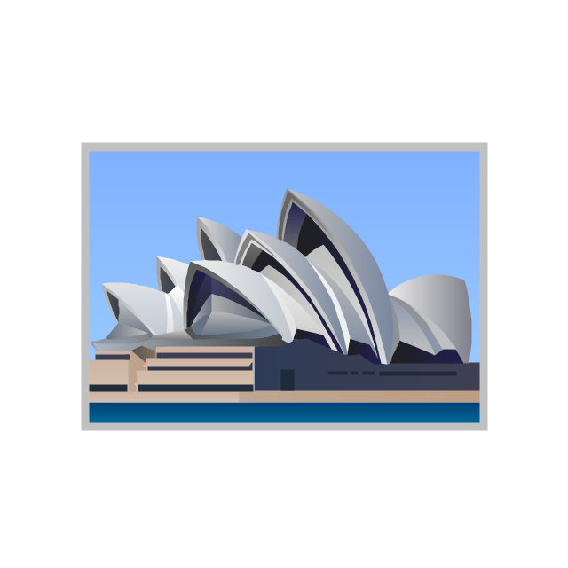
The vector stencils library "Architecture" contains 8 clipart images of some architecture monuments.
"In English the word "monumental" is often used in reference to something of extraordinary size and power, as in monumental sculpture, but also to mean simply anything made to commemorate the dead, as a funerary monument or other example of funerary art. ...
Monuments have been created for thousands of years, and they are often the most durable and famous symbols of ancient civilizations. ...
As societies became organized on a larger scale, so monuments so large as to be difficult to destroy and the Egyptian Pyramids, the Greek Parthenon, the Great Wall of China, Islamic Indian Taj Mahal or the Moai of Easter Island have become symbols of their civilizations. In more recent times, monumental structures such as the Statue of Liberty and Eiffel Tower have become iconic emblems of modern nation-states. The term monumentality relates to the symbolic status and physical presence of a monument." [Monument. Wikipedia]
The example "Architecture - Vector stencils library" was created using the ConceptDraw PRO diagramming and vector drawing software extended with the Artwork solution from the Illustration area of ConceptDraw Solution Park.
www.conceptdraw.com/ solution-park/ illustrations-artwork
Egyptian pyramids
Stonehenge
Colosseum
Leaning Tower of Pisa
Statue of Liberty
Eiffel Tower
Golden Gate
Sydney Opera House
Infographic Generator

The vector stencils library "Africa" contains 51 country contours for drawing thematic maps of Africa.
Use it in your spatial infographics for visual representation of geospatial information, statistics and quantitative data in the ConceptDraw PRO diagramming and vector drawing software extended with the Spatial Infographics solution from the area "What is Infographics" of ConceptDraw Solution Park.
Use it in your spatial infographics for visual representation of geospatial information, statistics and quantitative data in the ConceptDraw PRO diagramming and vector drawing software extended with the Spatial Infographics solution from the area "What is Infographics" of ConceptDraw Solution Park.
Africa
Algeria
Angola
Benin

Botswana
Burkina Faso
Burundi
Cameroon
Central African Republic
Chad

Congo
Congo (DRC)
-africa---vector-stencils-library.png--diagram-flowchart-example.png)
Cote d'Ivoire
Djibouti
Egypt
Equatorial Guinea
Eritrea
Ethiopia
Gabon
Ghana
Gambia

Guinea
Guinea-Bissau

Kenya
Lesotho
Liberia
Malawi

Libya
Madagascar
Mali
Niger
Mozambique
Mauritania
Nigeria
Morocco
Namibia
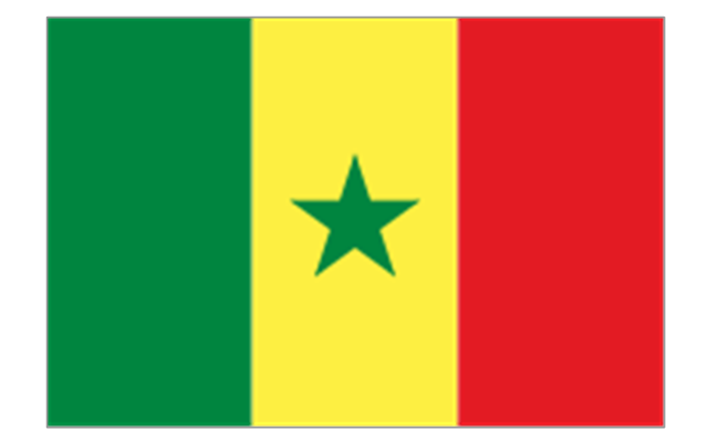
Senegal
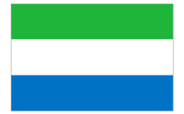
Sierra Leone
Rwanda
Somalia
South Africa
Sudan
South Sudan
Swaziland

Tanzania
Togo

Tunisia

Uganda
Western Sahara

Zimbabwe
Zambia
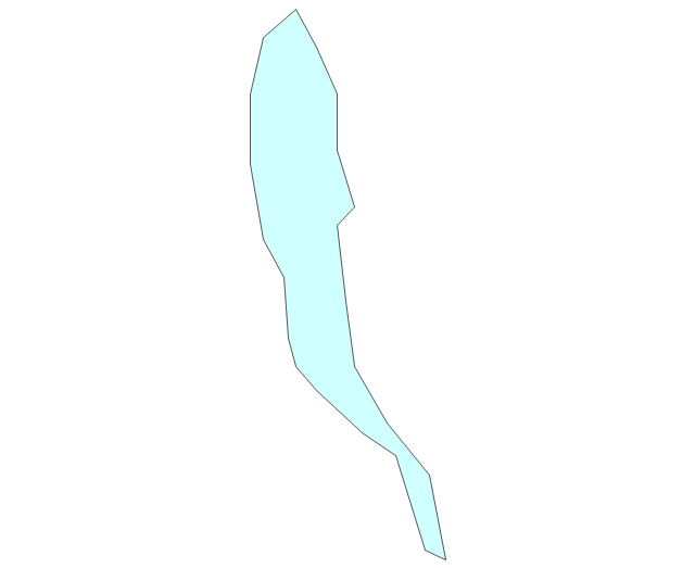
Geo Map - Africa - Gambia

The vector stencils library "Architecture" contains 8 clipart images of some architecture monuments.
"In English the word "monumental" is often used in reference to something of extraordinary size and power, as in monumental sculpture, but also to mean simply anything made to commemorate the dead, as a funerary monument or other example of funerary art. ...
Monuments have been created for thousands of years, and they are often the most durable and famous symbols of ancient civilizations. ...
As societies became organized on a larger scale, so monuments so large as to be difficult to destroy and the Egyptian Pyramids, the Greek Parthenon, the Great Wall of China, Islamic Indian Taj Mahal or the Moai of Easter Island have become symbols of their civilizations. In more recent times, monumental structures such as the Statue of Liberty and Eiffel Tower have become iconic emblems of modern nation-states. The term monumentality relates to the symbolic status and physical presence of a monument." [Monument. Wikipedia]
The example "Architecture - Vector stencils library" was created using the ConceptDraw PRO diagramming and vector drawing software extended with the Artwork solution from the Illustration area of ConceptDraw Solution Park.
www.conceptdraw.com/ solution-park/ illustrations-artwork
"In English the word "monumental" is often used in reference to something of extraordinary size and power, as in monumental sculpture, but also to mean simply anything made to commemorate the dead, as a funerary monument or other example of funerary art. ...
Monuments have been created for thousands of years, and they are often the most durable and famous symbols of ancient civilizations. ...
As societies became organized on a larger scale, so monuments so large as to be difficult to destroy and the Egyptian Pyramids, the Greek Parthenon, the Great Wall of China, Islamic Indian Taj Mahal or the Moai of Easter Island have become symbols of their civilizations. In more recent times, monumental structures such as the Statue of Liberty and Eiffel Tower have become iconic emblems of modern nation-states. The term monumentality relates to the symbolic status and physical presence of a monument." [Monument. Wikipedia]
The example "Architecture - Vector stencils library" was created using the ConceptDraw PRO diagramming and vector drawing software extended with the Artwork solution from the Illustration area of ConceptDraw Solution Park.
www.conceptdraw.com/ solution-park/ illustrations-artwork
Egyptian pyramids
Stonehenge
Colosseum
Leaning Tower of Pisa
Statue of Liberty
Eiffel Tower
Golden Gate
Sydney Opera House
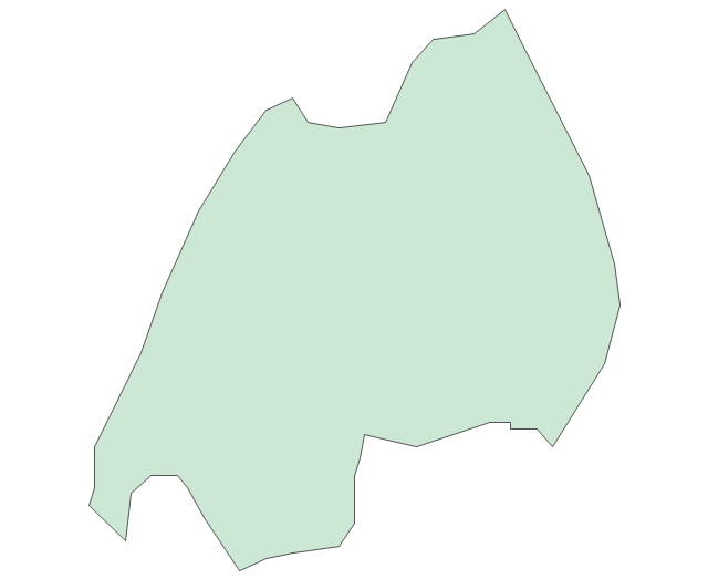
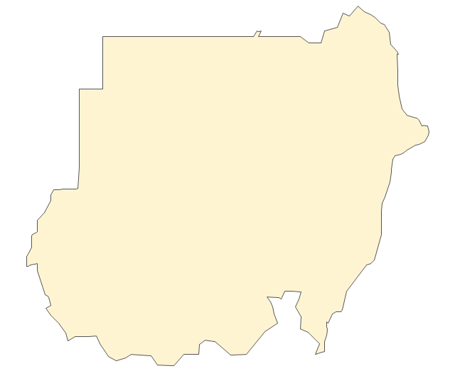
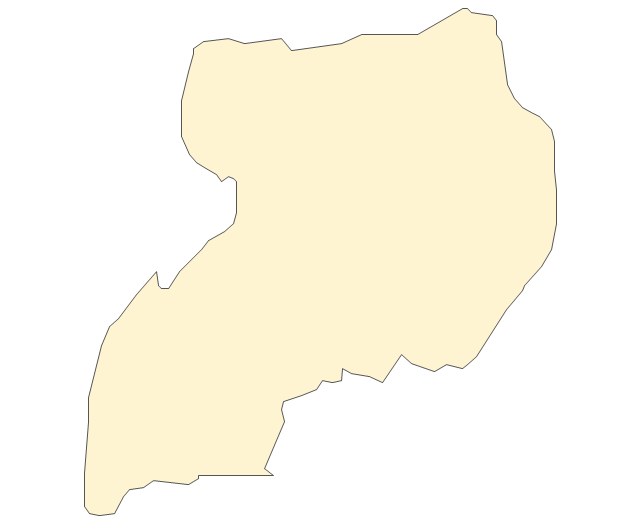
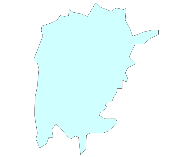
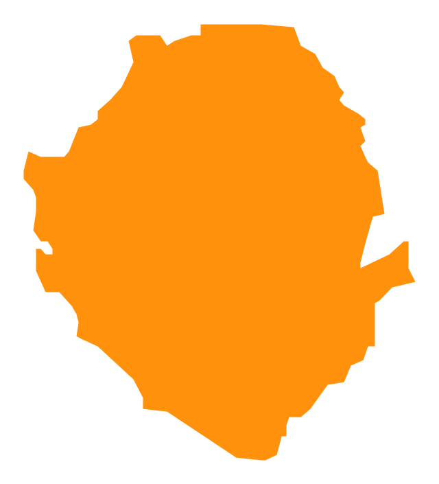
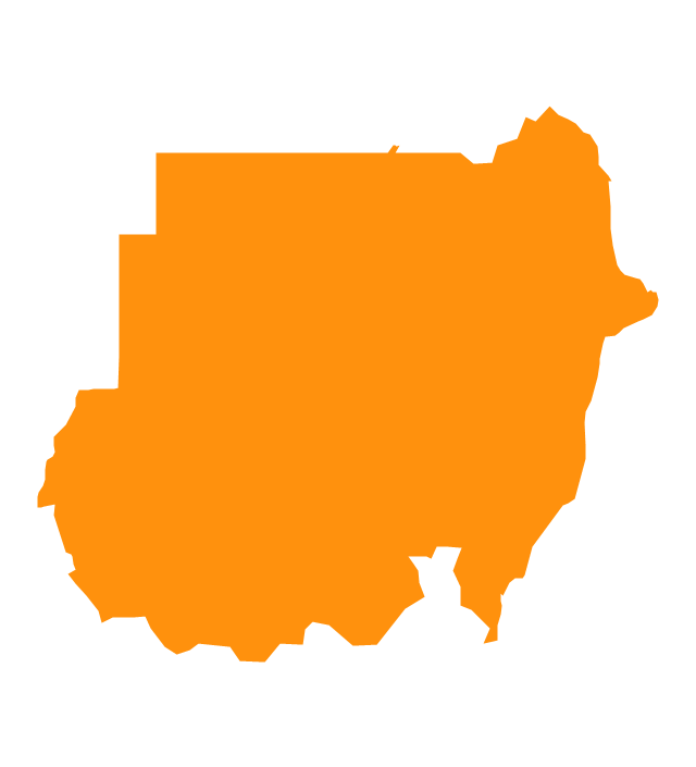
Geo Map - Africa - Sudan

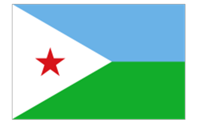
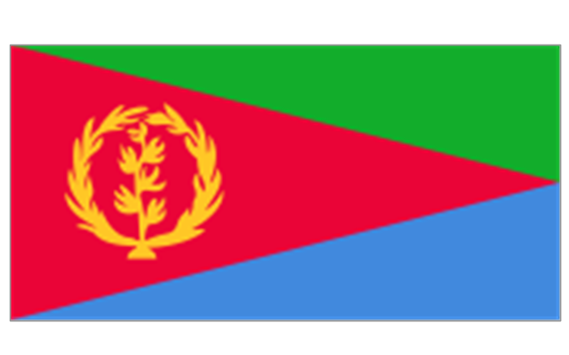
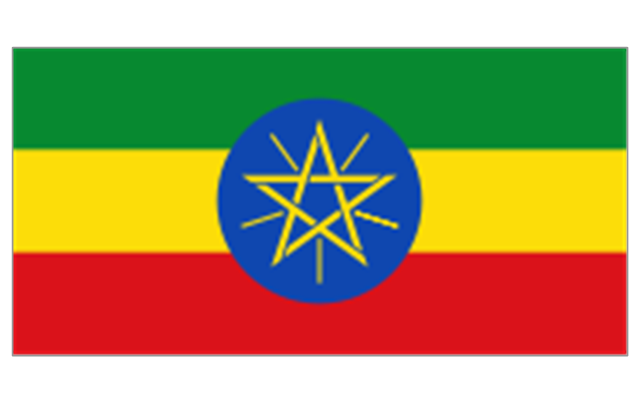
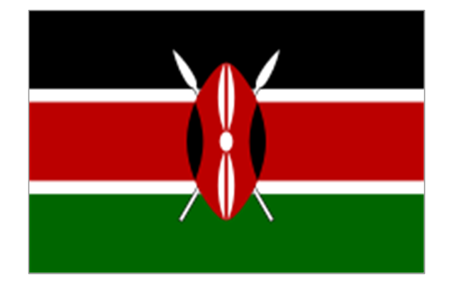
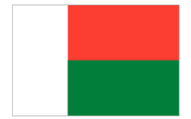
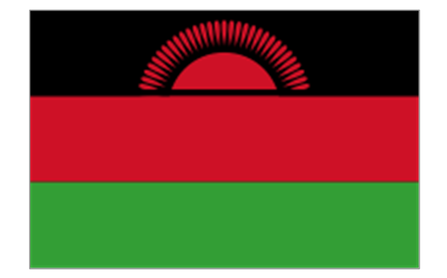
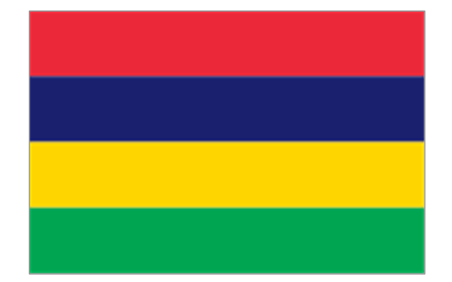
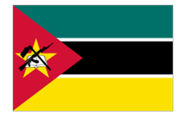
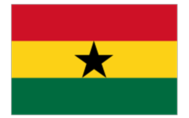
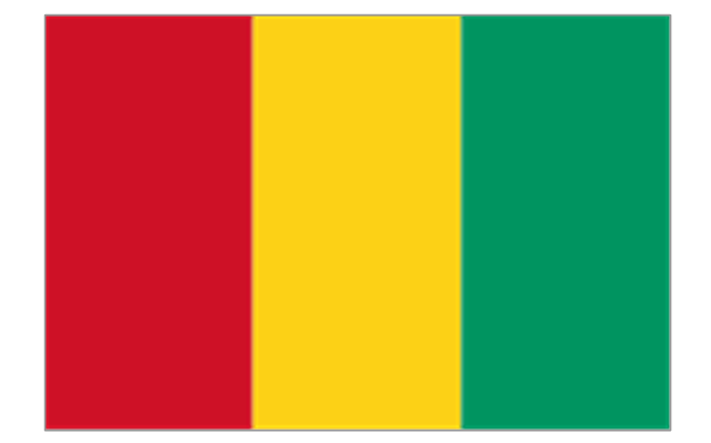
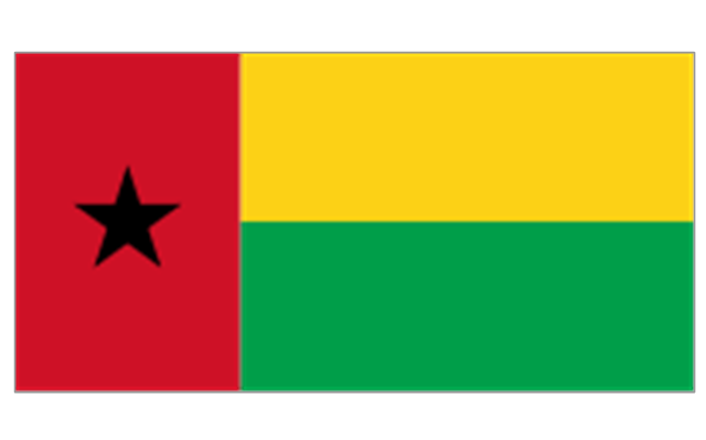
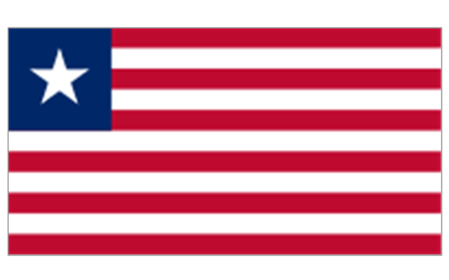
The stencils library "Africa flags" contains 61 clipart images of Africa state flags.
"These are the various flags of Africa.
1. Supernational and international flags:
Flag of the African Union, Flag of the East African Community, Flag of the OPEC, Flag of the Arab League, Flag of the Organisation of the Islamic Conference, Pan-African flag (not in official use).
2. African Great Lakes: Flag of Burundi, Flag of Kenya, Flag of Rwanda, Flag of South Sudan, Flag of Tanzania, Flag of Uganda.
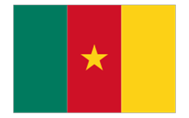
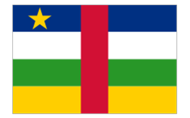
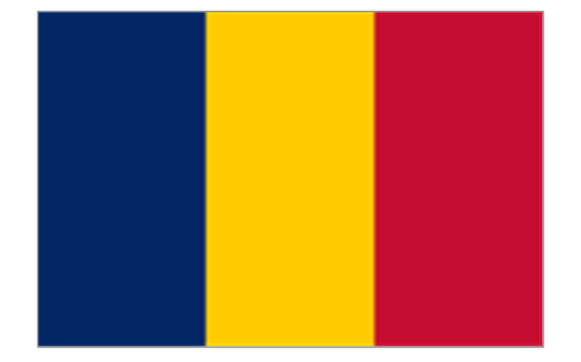
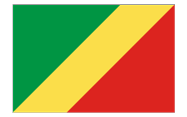
3. Central Africa: Flag of Angola, Flag of Cameroon, Flag of the Central African Republic, Flag of Chad, Flag of the Democratic Republic of the Congo, Flag of the Republic of the Congo, Flag of Equatorial Guinea, Flag of Gabon, Flag of Sao Tome and Principe, Flag of Sudan.
4. Horn of Africa: Flag of Djibouti, Flag of Eritrea, Flag of Ethiopia, Flag of Somalia.
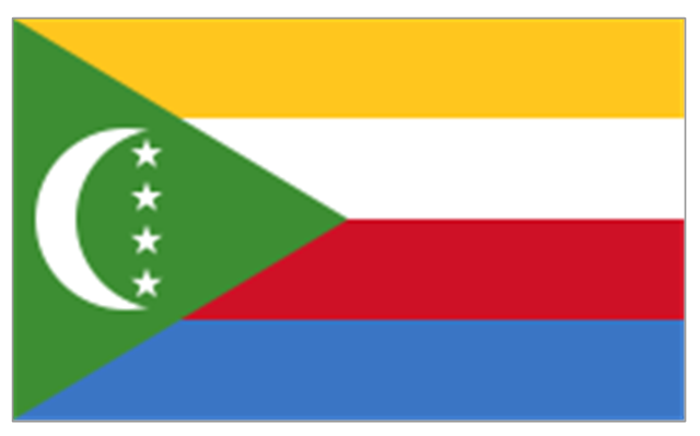
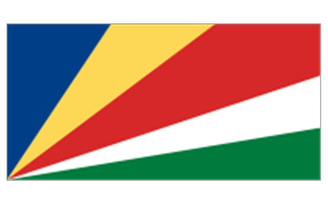
5. Indian Ocean islands: Flag of Comoros, Flag of Madagascar, Flag of Mauritius, Unofficial Flag of Mayotte (France), Flag of Reunion (France), Flag of the Seychelles.
6. North Africa: Flag of Algeria, Flag of the Canary Islands (Spain), Flag of Ceuta (Spain), Flag of Egypt, Flag of Libya, Flag of Madeira (Portugal), Flag of Melilla (Spain), Flag of Morocco, Flag of Tunisia, Flag of the Sahrawi Arab Democratic Republic.
7. Southern Africa: Flag of Botswana, Flag of Lesotho, Flag of Malawi, Flag of Mozambique, Flag of Namibia, Flag of South Africa, Flag of Swaziland, Flag of Zambia, Flag of Zanzibar (Tanzania), Flag of Zimbabwe.
8. West Africa: Flag of Ascension Island (United Kingdom), Flag of Benin, Flag of Burkina Faso, Flag of Cape Verde, Flag of The Gambia, Flag of Ghana, Flag of Guinea, Flag of Guinea-Bissau, Flag of Ivory Coast, Flag of Liberia, Flag of Mali, Flag of Mauritania, Flag of Niger, Flag of Nigeria, Flag of Saint Helena (United Kingdom), Flag of Senegal, Flag of Sierra Leone, Flag of Togo, Flag of Tristan da Cunha (United Kingdom)." [Flags of Africa. Wikipedia]
The clip art example "Africa flags - Stencils library" was created using the ConceptDraw PRO diagramming and vector drawing software extended with the Continent Maps solution from the Maps area of ConceptDraw Solution Park.
"These are the various flags of Africa.
1. Supernational and international flags:
Flag of the African Union, Flag of the East African Community, Flag of the OPEC, Flag of the Arab League, Flag of the Organisation of the Islamic Conference, Pan-African flag (not in official use).
2. African Great Lakes: Flag of Burundi, Flag of Kenya, Flag of Rwanda, Flag of South Sudan, Flag of Tanzania, Flag of Uganda.
3. Central Africa: Flag of Angola, Flag of Cameroon, Flag of the Central African Republic, Flag of Chad, Flag of the Democratic Republic of the Congo, Flag of the Republic of the Congo, Flag of Equatorial Guinea, Flag of Gabon, Flag of Sao Tome and Principe, Flag of Sudan.
4. Horn of Africa: Flag of Djibouti, Flag of Eritrea, Flag of Ethiopia, Flag of Somalia.
5. Indian Ocean islands: Flag of Comoros, Flag of Madagascar, Flag of Mauritius, Unofficial Flag of Mayotte (France), Flag of Reunion (France), Flag of the Seychelles.
6. North Africa: Flag of Algeria, Flag of the Canary Islands (Spain), Flag of Ceuta (Spain), Flag of Egypt, Flag of Libya, Flag of Madeira (Portugal), Flag of Melilla (Spain), Flag of Morocco, Flag of Tunisia, Flag of the Sahrawi Arab Democratic Republic.
7. Southern Africa: Flag of Botswana, Flag of Lesotho, Flag of Malawi, Flag of Mozambique, Flag of Namibia, Flag of South Africa, Flag of Swaziland, Flag of Zambia, Flag of Zanzibar (Tanzania), Flag of Zimbabwe.
8. West Africa: Flag of Ascension Island (United Kingdom), Flag of Benin, Flag of Burkina Faso, Flag of Cape Verde, Flag of The Gambia, Flag of Ghana, Flag of Guinea, Flag of Guinea-Bissau, Flag of Ivory Coast, Flag of Liberia, Flag of Mali, Flag of Mauritania, Flag of Niger, Flag of Nigeria, Flag of Saint Helena (United Kingdom), Flag of Senegal, Flag of Sierra Leone, Flag of Togo, Flag of Tristan da Cunha (United Kingdom)." [Flags of Africa. Wikipedia]
The clip art example "Africa flags - Stencils library" was created using the ConceptDraw PRO diagramming and vector drawing software extended with the Continent Maps solution from the Maps area of ConceptDraw Solution Park.
Burundi
Comoros
Djibouti
Eritrea
Ethiopia
Kenya
Madagascar
Malawi
Mauritius
Mayotte (France)
-africa-flags---stencils-library.png--diagram-flowchart-example.png)
Mozambique
Réunion (France)
-africa-flags---stencils-library.png--diagram-flowchart-example.png)
Rwanda
Seychelles
Somalia
South Sudan
Tanzania
Uganda
Zambia
Angola
Cameroon
Central African Republic
Chad
Republic of the Congo
Democratic Republic of the Congo
Equatorial Guinea
Gabon
Botswana
Lesotho
Namibia
South Africa
Benin
Burkina Faso
Cape Verde
Côte d'Ivoire
Gambia
Ghana
Guinea
Guinea-Bissau
Liberia
Mali
Mauritania
Niger
Nigeria
Saint Helena (United Kingdom)
-africa-flags---stencils-library.png--diagram-flowchart-example.png)
Senegal
Sierra Leone
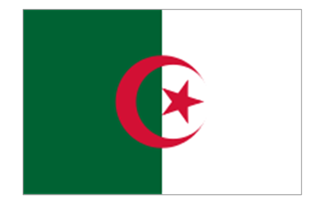
Algeria
Canary Islands (Spain)
-africa-flags---stencils-library.png--diagram-flowchart-example.png)
Ceuta (Spain)
-africa-flags---stencils-library.png--diagram-flowchart-example.png)
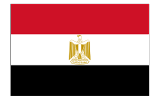
Egypt
Libya
Madeira (Portugal)
-africa-flags---stencils-library.png--diagram-flowchart-example.png)
Melilla (Spain)
-africa-flags---stencils-library.png--diagram-flowchart-example.png)
Morocco
Sudan
Tunisia
Geo Map - Asia - Israel

The vector stencils library "Africa" contains 62 country map contours for drawing thematic maps of Africa. Use it for visual representation of geospatial information, statistics and quantitative data.
"Africa is the world's second-largest and second-most-populous continent. ...
The continent includes Madagascar and various archipelagoes. It has 54 fully recognized sovereign states ("countries"), nine territories and two de facto independent states with limited or no recognition." [Africa. Wikipedia]
The map contours example "Africa - Vector stencils library" was created using the ConceptDraw PRO diagramming and vector drawing software extended with the Continent Maps solution from the Maps area of ConceptDraw Solution Park.
"Africa is the world's second-largest and second-most-populous continent. ...
The continent includes Madagascar and various archipelagoes. It has 54 fully recognized sovereign states ("countries"), nine territories and two de facto independent states with limited or no recognition." [Africa. Wikipedia]
The map contours example "Africa - Vector stencils library" was created using the ConceptDraw PRO diagramming and vector drawing software extended with the Continent Maps solution from the Maps area of ConceptDraw Solution Park.
Africa
Algeria
Angola
Benin
Botswana
Burkina Faso
Burundi
Cameroon
Central African Republic
Chad
Republic of the Congo
Democratic Republic of the Congo
Ivory Coast (Cote d'Ivoire)
Djibouti
Egypt
Equatorial Guinea
Eritrea
Ethiopia
Gabon
Gambia
Ghana
Guinea
Guinea-Bissau
Kenya
Lesotho
Liberia
Libya
Madagascar
Malawi
Mali
Mauritania
Morocco
Mozambique
Namibia
Niger
Nigeria
Rwanda
Senegal
Sierra Leone
Somalia
South Africa
Sudan
South Sudan
Swaziland
Tanzania
Togo
Tunisia
Uganda
Western Sahara
Zambia
Zimbabwe
Lake Albert
Lake Chad
Lake Kariba
Lake Kivu
Lake Malawi
Lake Mweru
Lake Nasser
Lake Tanganyika
Lake Turkana
Lake Victoria
Lake Volta
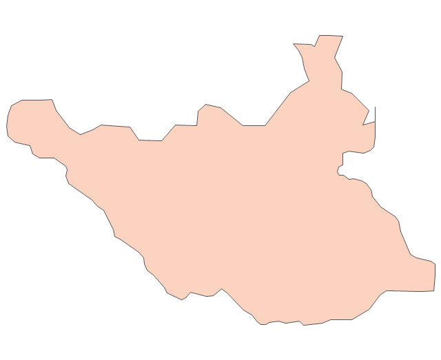
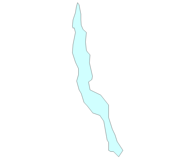
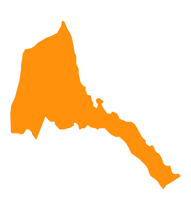
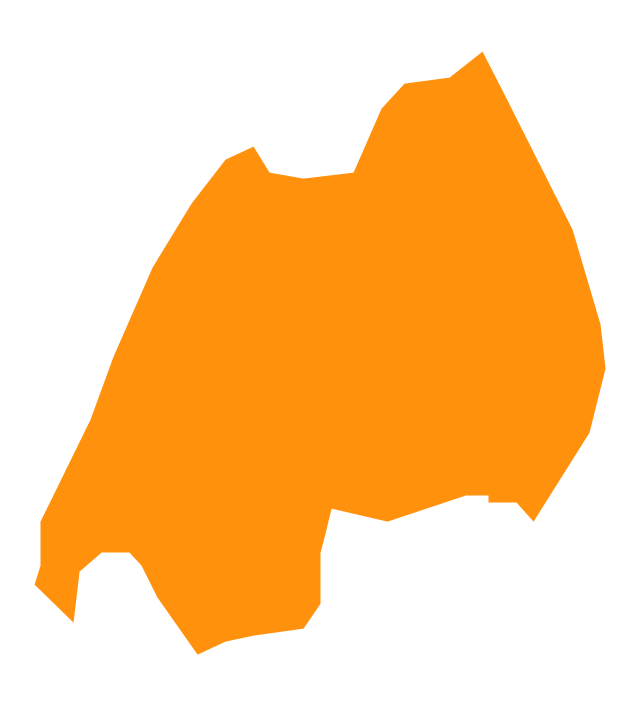
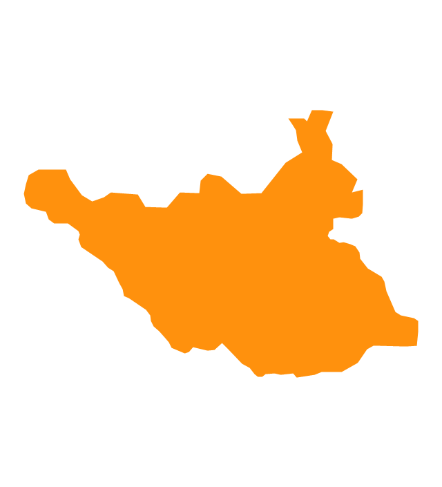
Geo Map - Africa - South Sudan

Geo Map - Europe - Sweden

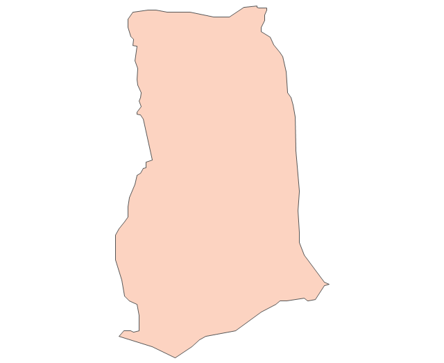
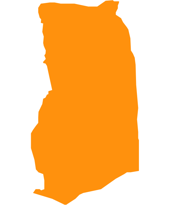
Geo Map - Africa - Ghana

- Geo Map - Africa - Egypt | Geo Map - Asia - Israel | Geo Map - Africa ...
- 25 Typical Orgcharts | Egypt timeline of communication shutdown ...
- Egypt timeline of communication shutdown during jan 25 revolution ...
- How To Draw A Map Of Egypt
- Geo Map - Africa - Ghana | Geo Map - Africa - Egypt | Geo Map ...
- Geo Map - Africa - Gambia | Geo Map - Africa - Egypt | Geo Map ...
- Geo Map - Africa - Sudan | Geo Map - Africa - Egypt | Geo Map ...
- Geo Map - Africa - Egypt | Geo Map - USA - Oklahoma | Geo Map ...
- Ghana West Africa Map
- Geo Map - Africa - Gambia
- Geo Map - Africa - Rwanda
- Geo Map - Africa - Djibouti | Geo Map - Africa - Egypt | Management ...
- Geo Map - Africa
- Egypt
- Egypt In Middle East
- Egyptian pyramids
- Africa - Vector stencils library
- Geo Map - Africa - Angola | Africa - Vector stencils library | Geo Map ...
- Pyramid Diagram