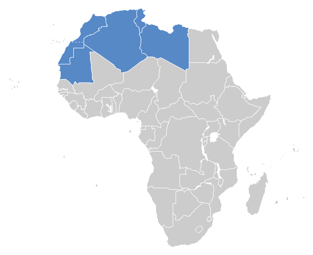
"The Maghreb is usually defined as much or most of the region of Northwest Africa, west of Egypt. The traditional definition as being the region including the Atlas Mountains and the coastal plains of Morocco, Algeria, Tunisia, and Libya, was later superseded, especially since the 1989 formation of the Arab Maghreb Union, by the inclusion of Mauritania and of the disputed territory of Western Sahara (mostly controlled by Morocco)." [Maghreb. Wikipedia]
This Maghreb map example was redesigned using ConceptDraw PRO diagramming and vector drawing software from the Wikimedia Commons file: Maghreb.png.
[commons.wikimedia.org/ wiki/ File:Maghreb.png]
The political map example "Maghreb countries" is included in the Continent Map solution from Maps area of ConceptDraw Solution Park.
Political map - Maghreb countries
 Continent Maps
Continent Maps solution extends ConceptDraw PRO software with templates, samples and libraries of vector stencils for drawing the thematic maps of continents, state maps of USA and Australia.
Geo Map - Africa - Ghana

Geo Map - Africa - Botswana

Geo Map - Africa

Geo Map — Africa — Tanzania

Geo Map — South America Continent

- Maghreb countries - Political map | Geo Map - Africa - Morocco | Geo ...
- Maghreb countries - Political map | West Africa countries | Vector ...
- Maghreb countries - Political map | Maghreb countries - Political ...
- Map Of Maghreb Countries
- Maghreb countries - Political map
- Geo Map - Africa - Tunisia | Maghreb countries - Political map | Geo ...
- Geo Map - Africa - Morocco | Maghreb countries - Political map | Geo ...
- Geo Map - Europe | Maghreb countries - Political map | Geo Map ...
- Maghreb countries - Political map | Andean states - Political map ...
- West Africa countries | Maghreb countries - Political map | East ...
- Geo Map - Europe - Bulgaria | North Asia - Political map | Maghreb ...
- Political Map Example
- Geo Map - Asia - Oman | Geo Map - Canada - Nova Scotia | Winter ...
- West Africa countries | Geo Map - Africa - Uganda | Geo Map - Africa ...
- Maps Of The Continents With Countries
- Morocco Map Vector Png
- EU 28: Candidate countries map | Continent Maps | Eu28 Map
- Geo Map - Africa - Western Sahara | Africa - Vector stencils library ...
- West Africa Countries Map