 Continent Maps
Continent Maps solution extends ConceptDraw DIAGRAM software with templates, samples and libraries of vector stencils for drawing the thematic maps of continents, state maps of USA and Australia.
Geo Map Software

Geo Map — South America Continent

Geo Map - World

HelpDesk
How to Draw a Map of North America

Types of Map - Overview

Geo Mapping Software Examples - World Map Outline

Spatial infographics Design Elements: Continental Map

Geo Map - Africa

Geo Map of Americas

Map Software

Geo Map — Asia

Geo Map — United States of America Map

Spatial infographics Design Elements: Location Map

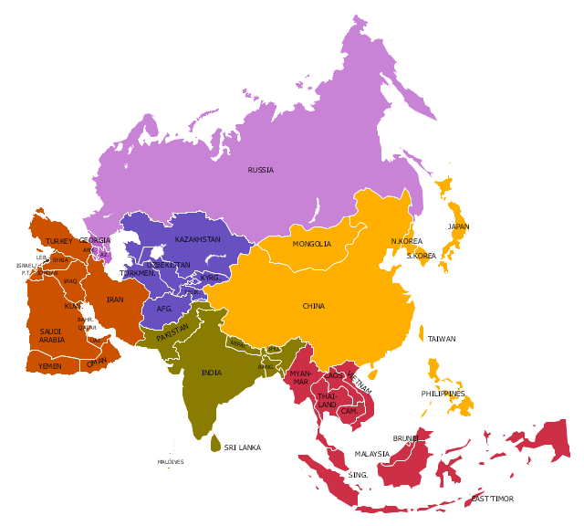
"Asia ... is the world's largest and most populous continent, located primarily in the eastern and northern hemispheres. It covers 8.7% of the Earth's total surface area and comprises 30% of its land area. With approximately 4.3 billion people, it hosts 60% of the world's current human population. Asia has a high growth rate in the modern era. For instance, during the 20th century, Asia's population nearly quadrupled." [Asia. Wikipedia]
This Asia political map was redesigned from Wikimedia Commons file: Map of Asia.svg.
[commons.wikimedia.org/ wiki/ File:Map_ of_ Asia.svg]
This file is licensed under the Creative Commons Attribution-Share Alike 3.0 Unported license. [creativecommons.org/ licenses/ by-sa/ 3.0/ deed.en]
Legend:
Purple = North Asia/ Eurasia (Russia, Georgia, Armenia, Azerbaijan),
Yellow = East Asia (China, Mongolia, Korea, Japan),
Red = South East Asia (10 ASEAN countries + East Timor),
Green = South Asia (India, Pakistan, Bangladesh, Nepal, Bhutan),
Brown = West Asia/ Middle East,
Blue = Central Asia.
The example "Political map of Asia" was created using the ConceptDraw PRO diagramming and vector drawing software extended with the Continent Maps solution from the Maps area of ConceptDraw Solution Park.
Political map - Asia
Geo Map - Australia

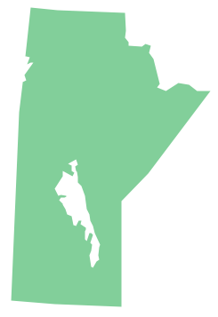
Geo Map - Canada - Manitoba
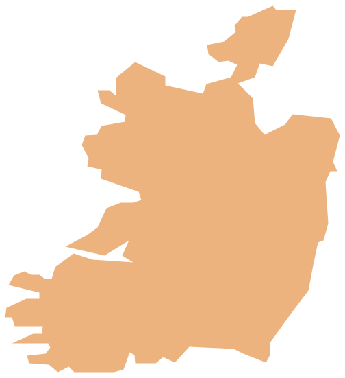
Geo Map - Europe - Ireland
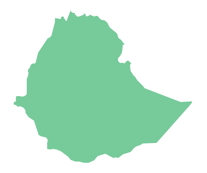
Geo Map - Africa - Ethiopia
Geo Map - Canada

- Geo Map - World | Geo Map Software | Types of Map - Overview ...
- Continent Maps | Maps | Geo Map - World | - Conceptdraw.com
- Continent Maps | Geo Map Software | Types of Map - Overview ...
- Continent Maps | Design elements - Continental map | Geo Map ...
- Geo Mapping Software Examples - World Map Outline | Geo Map ...
- Geo Map Software | Geo Map - World | Types of Map - Overview | All ...
- Continent Maps | Spatial infographics Design Elements: Location ...
- How to Draw a Geographical Map Quickly | Geo Map - World ...
- Geo Map Software | Geo Map - World | Types of Map - Overview ...
- Types of Map - Overview | Geo Map Software | Geo Map - Africa ...
- Continent Maps | Political map of Central America | Political map of ...
- ConceptDraw Solution Park | Geo Map Software | Continent Maps ...
- Maps | Who in the world eats chocolate? | Design elements ...
- Continent Maps | Design elements - Continental map | How to Draw ...
- Continent Maps | Picture graph - Population growth by continent ...
- Geo Map - World | Geo Mapping Software Examples - World Map ...
- Continent Map
- How to Draw a Geographical Map Quickly | Continent Maps | Maps ...
- Geo Map Software | Geo Mapping Software Examples - World Map ...
- Continent Maps | How to Draw a Geographical Map Quickly | Geo ...