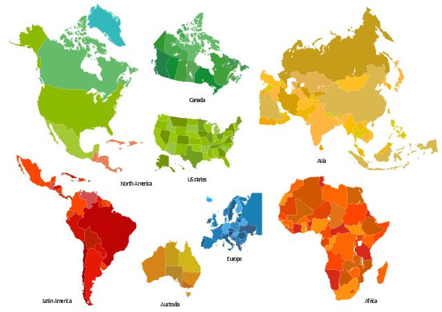
The vector stencils library "Africa" contains 51 African countries contour maps.
The vector stencils library "Asia" contains 47 Asian countries contour maps.
The vector stencils library "Australia and New Zealand" contains 10 contour maps.
The vector stencils library "Europe" contains 39 European countries contour maps.
The vector stencils library "Latin America" contains 30 Latin American countries contour maps.
The vector stencils library "North America" contains 70 North American countries contour maps.
"A continent is one of several very large landmasses on Earth. They are generally identified by convention rather than any strict criteria, with up to seven regions commonly regarded as continents. These are from largest in size to smallest: Asia, Africa, North America, South America, Antarctica, Europe, and Australia." [Continent. Wikipedia]
The contour maps example "Design elements - Continental map" was created using the ConceptDraw PRO diagramming and vector drawing software extended with the Spatial Infographics solution from the Maps area of ConceptDraw Solution Park.
Continental contour maps
Geo Map - Europe - United Kingdom

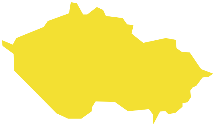
Geo Map - Europe - Czech Republic
 Continent Maps
Continent Maps solution extends ConceptDraw DIAGRAM software with templates, samples and libraries of vector stencils for drawing the thematic maps of continents, state maps of USA and Australia.
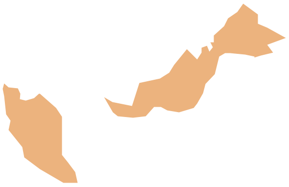
Geo Map - Asia - Malaysia
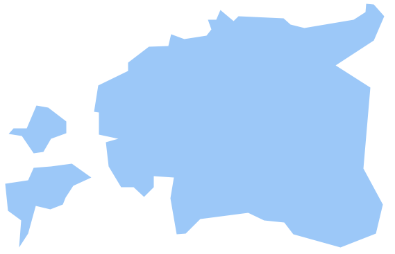
Geo Map - Europe - Estonia
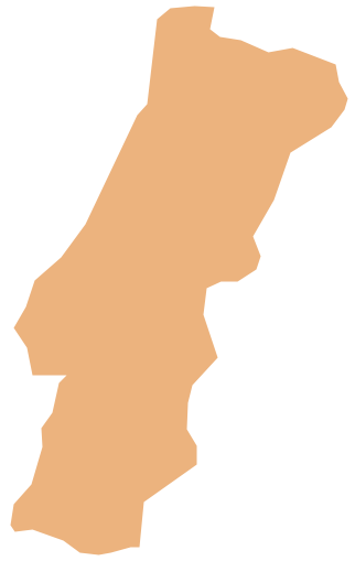
Geo Map - Europe - Portugal
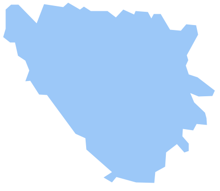
Geo Map - Europe - Bosnia and Herzegovina
Geo Map - Europe - Russia

Geo Map - South America - Bolivia

Geo Map of Americas

Geo Map — South America — Peru

Geo Map — United States of America Map

Geo Map - South America - Belize

Geo Map - South America - Suriname

- Design elements - Thematic maps | Design elements - Continental ...
- Continent Maps | Spatial infographics Design Elements: Continental ...
- Continental Map With Countries
- Continental Map
- Design elements - Continental map | Geo Map - United States of ...
- Design elements - Continental map | Geo Map of Americas | Geo ...
- Design elements - Continental map | European membership of the ...
- Geo Map - United States of America Map | Design elements ...
- Geo Map - Europe - United Kingdom | Spatial infographics Design ...
- Geo Map - South America Continent | Continent Maps | Design ...
- Continental Map Png
- Geo Map - South America - Chile | Map of Continents | 7 Continents ...
- New Zealand Map Contour
- Geo Map - South America - Mexico | Thematic maps - Vector stencils ...
- Geo Map - South America Continent
- Geo Map - Europe - Switzerland | Geo Map - South America ...
- How to Support Your Mind Map with Visual Elements | Subway ...
- Geo Map - Australia
- Asian Countries Maps
- Spatial infographics Design Elements: Continental Map | Geo Map ...