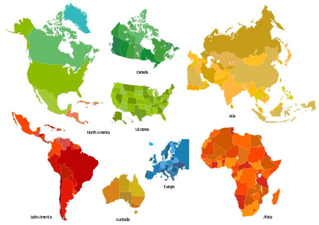
The vector stencils library "Africa" contains 51 African countries contour maps.
The vector stencils library "Asia" contains 47 Asian countries contour maps.
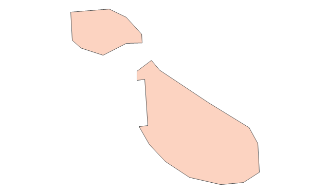
The vector stencils library "Australia and New Zealand" contains 10 contour maps.
The vector stencils library "Europe" contains 39 European countries contour maps.
The vector stencils library "Latin America" contains 30 Latin American countries contour maps.
The vector stencils library "North America" contains 70 North American countries contour maps.
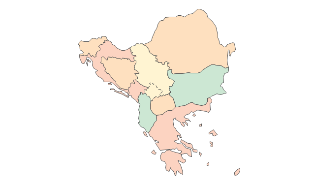
"A continent is one of several very large landmasses on Earth. They are generally identified by convention rather than any strict criteria, with up to seven regions commonly regarded as continents. These are from largest in size to smallest: Asia, Africa, North America, South America, Antarctica, Europe, and Australia." [Continent. Wikipedia]
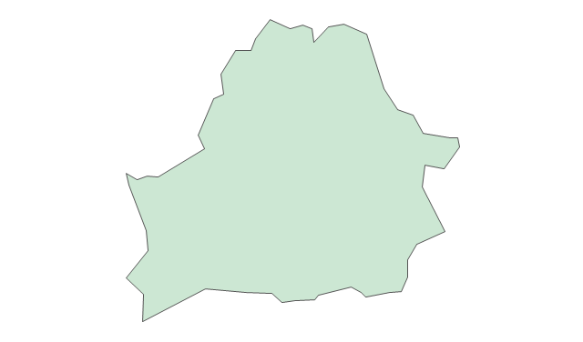
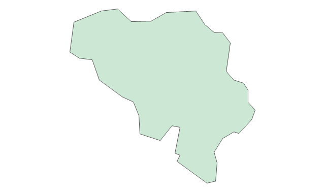
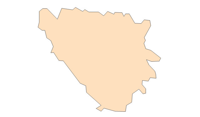
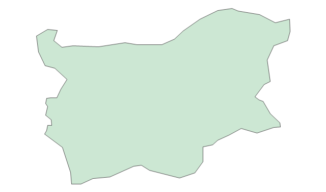
The contour maps example "Design elements - Continental map" was created using the ConceptDraw PRO diagramming and vector drawing software extended with the Spatial Infographics solution from the Maps area of ConceptDraw Solution Park.
www.conceptdraw.com/ solution-park/ infographics-spatial
The vector stencils library "Asia" contains 47 Asian countries contour maps.
The vector stencils library "Australia and New Zealand" contains 10 contour maps.
The vector stencils library "Europe" contains 39 European countries contour maps.
The vector stencils library "Latin America" contains 30 Latin American countries contour maps.
The vector stencils library "North America" contains 70 North American countries contour maps.
"A continent is one of several very large landmasses on Earth. They are generally identified by convention rather than any strict criteria, with up to seven regions commonly regarded as continents. These are from largest in size to smallest: Asia, Africa, North America, South America, Antarctica, Europe, and Australia." [Continent. Wikipedia]
The contour maps example "Design elements - Continental map" was created using the ConceptDraw PRO diagramming and vector drawing software extended with the Spatial Infographics solution from the Maps area of ConceptDraw Solution Park.
www.conceptdraw.com/ solution-park/ infographics-spatial
Continental contour maps
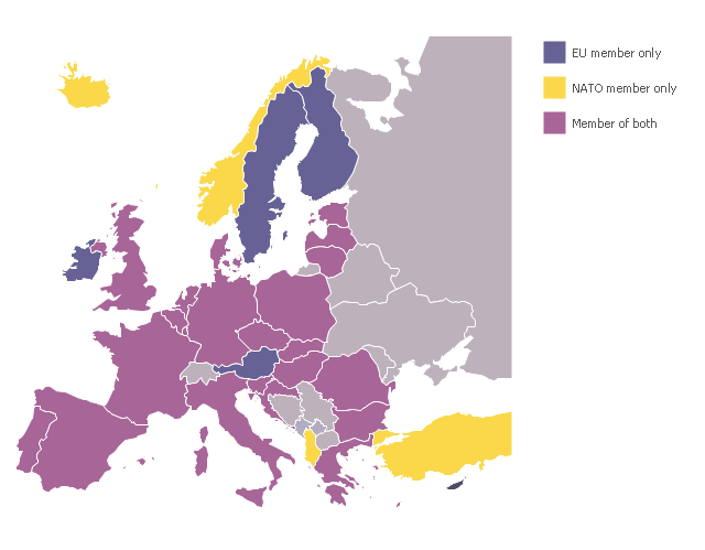
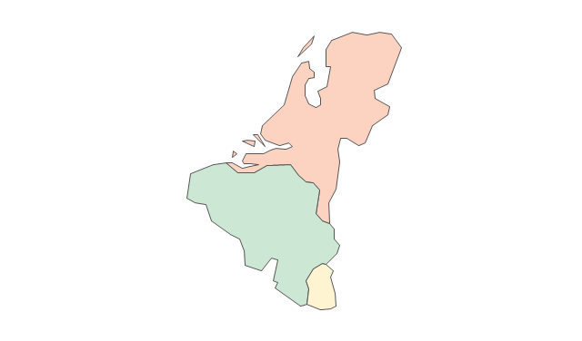
A map showing European membership of the EU and NATO.
"The European Union (EU) is an economic and political union of 28 member states that are located primarily in Europe.
The EU operates through a system of supranational independent institutions and intergovernmental negotiated decisions by the member states. Institutions of the EU include the European Commission, the Council of the European Union, the European Council, the Court of Justice of the European Union, the European Central Bank, the Court of Auditors, and the European Parliament. The European Parliament is elected every five years by EU citizens. The EU's de facto capital is Brussels." [European Union. Wikipedia]
"The principal military alliance in Europe remains NATO, which includes 21 of all EU member states as well as other non-EU European countries, Turkey, the United States and Canada." [Military of the European Union. Wikipedia]
"The North Atlantic Treaty Organization (NATO), also called the (North) Atlantic Alliance, is an intergovernmental military alliance based on the North Atlantic Treaty which was signed on 4 April 1949. The organization constitutes a system of collective defence whereby its member states agree to mutual defense in response to an attack by any external party. NATO's headquarters are in Brussels, Belgium, one of the 28 member states across North America and Europe, the newest of which, Albania and Croatia, joined in April 2009." [NATO. Wikipedia]
This Europe map example was redesigned using ConceptDraw PRO diagramming and vector drawing software from the Wikipedia file: EU and NATO.svg.
[en.wikipedia.org/ wiki/ File:EU_ and_ NATO.svg]
The example European membership of the EU and NATO map is included in the Continent Maps solution from Maps area of ConceptDraw Solution Park.
www.conceptdraw.com/ solution-park/ maps-continent
 Continent Maps
Continent Maps solution extends ConceptDraw PRO software with templates, samples and libraries of vector stencils for drawing the thematic maps of continents, state maps of USA and Australia.
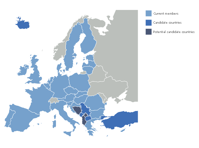
"The 2013 enlargement of the European Union saw Croatia join the European Union as their 28th member state on 1 July 2013.
Croatia is the second former Yugoslav republic to join the European Union after a decade-long negotiation process. The country applied for EU membership in 2003, and the European Commission recommended making it an official candidate in early 2004. Candidate country status was granted to Croatia by the European Council in mid-2004. The entry negotiations, while originally set for March 2005, began in October that year together with the screening process." [2013 enlargement of the European Union. Wikipedia]
This Europe map example was redesigned using ConceptDraw PRO diagramming and vector drawing software from the Wikipedia file:EU28-candidate countries map.svg.
[en.wikipedia.org/ wiki/ File:EU28-candidate_ countries_ map.svg]
The example EU 28: Candidate countries map is included in the Continent Maps solution from Maps area of ConceptDraw Solution Park.
www.conceptdraw.com/ solution-park/ maps-continent
 Maps Area
Solutions from the Maps Area of ConceptDraw Solution Park collect templates, samples and libraries of vector stencils for drawing geographical, directional and transport maps.
Geo Map - Europe - Romania

Geo Map - Europe - Hungary

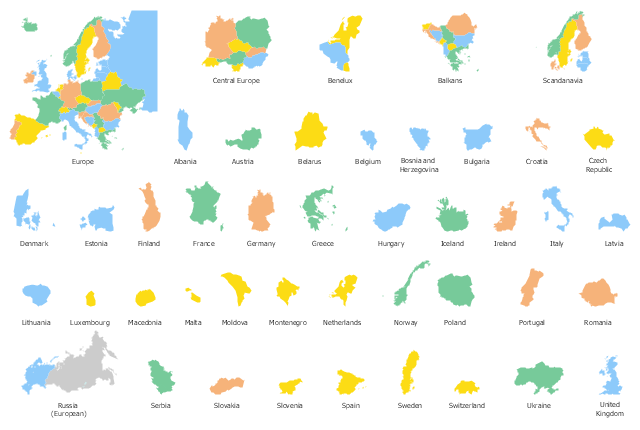
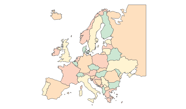
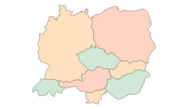
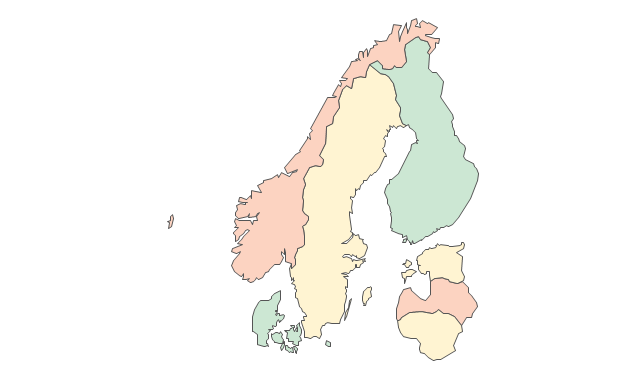
Use the map contours library Europe to design thematic maps of European countries using ConceptDraw PRO diagramming and vector drawing software.
The design elements library Europe contains 43 state map contours.
The vector stencils library Europe is included in the Continent Maps solution from Maps area of ConceptDraw Solution Park. www.conceptdraw.com/ solution-park/ maps-continent
The design elements library Europe contains 43 state map contours.
The vector stencils library Europe is included in the Continent Maps solution from Maps area of ConceptDraw Solution Park. www.conceptdraw.com/ solution-park/ maps-continent
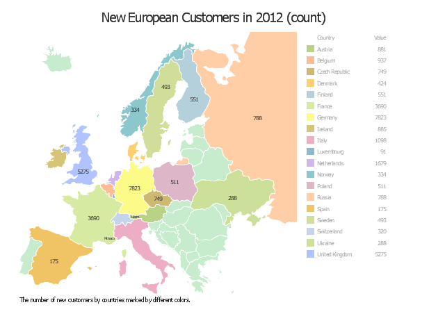
"Location Intelligence is the capacity to organize and understand complex phenomena through the use of geographic relationships inherent in all information. By combining geographic- and location-related data with other business data, organizations can gain critical insights, make better decisions and optimize important processes and applications. Location Intelligence offers organizations opportunities to streamline their business processes and customer relationships to improve performance and results.
Location Intelligence tools leverage a variety of data sources including aerial maps, geographic information systems (GIS), consumer demographics as well as a user’s own customer records. ...
Location Intelligence is also used to describe the integration of a geographical component into Business Intelligence processes and tools, often incorporating Spatial Database and spatial OLAP tools." [Location intelligence. Wikipedia]
The location intelligence dashboard example "New European Customers" was created using the ConceptDraw PRO diagramming and vector drawing software extended with the Spatial Dashboard solution from the area "What is a Dashboard" of ConceptDraw Solution Park.
www.conceptdraw.com/ solution-park/ spatial-dashboard
Location intelligence dashboard
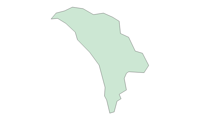
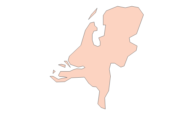
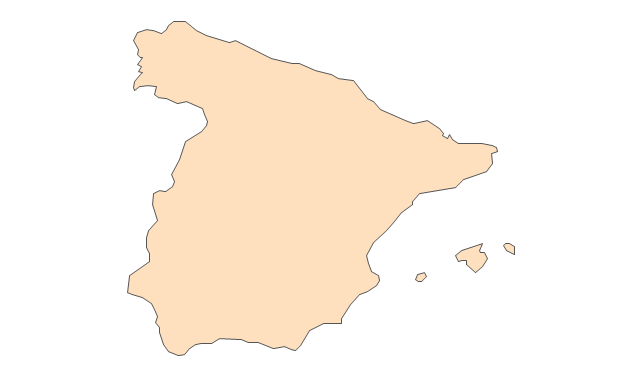
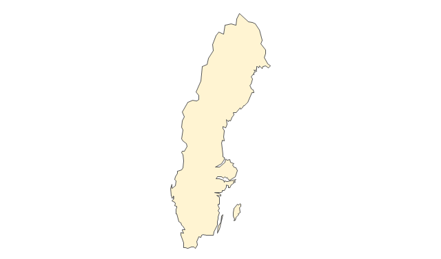
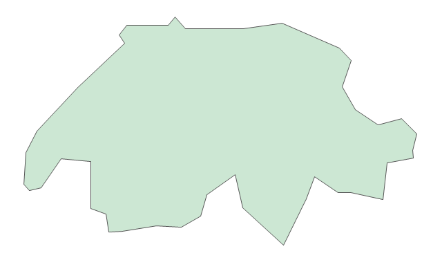
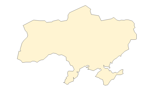
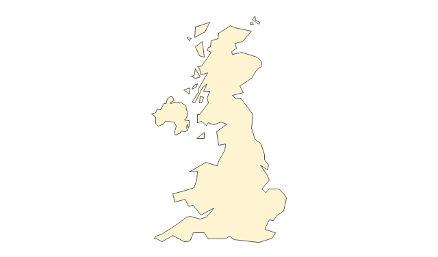
The vector stencils library "Europe" contains 45 state map contours for drawing thematic maps of Europe. Use it in your spatial infographics for visual representation of geospatial information, statistics and quantitative data.
"There are 50 internationally recognised sovereign states with territory located within the common definition of Europe and/ or membership in international European organisations, of which 44 have their capital city within Europe. All except the Vatican City are members of the United Nations (UN), and all except Belarus, Kazakhstan and Vatican City are members of the Council of Europe. Since 2013, 28 of these countries are also member states of the EU, which means they are highly integrated with each other and share their sovereignty with EU institutions." [List of sovereign states and dependent territories in Europe. Wikipedia]
The state map contours example "Europe - Vector stencils library" was created using the ConceptDraw PRO diagramming and vector drawing software extended with the Continent Maps solution from the Maps area of ConceptDraw Solution Park.
www.conceptdraw.com/ solution-park/ maps-continent
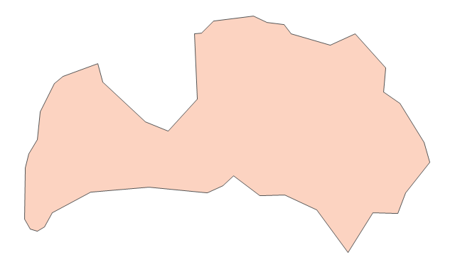
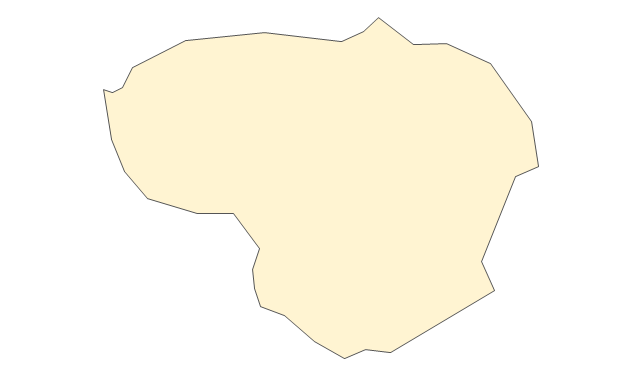
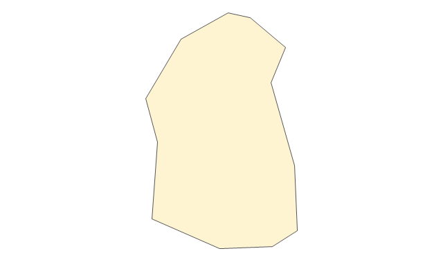
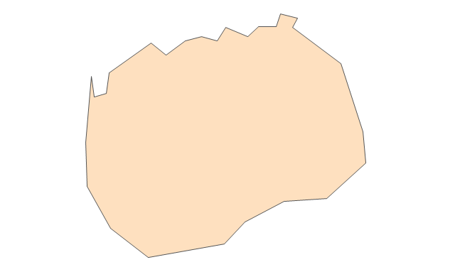
Europe
Central Europe
Scandanavia
Balkans
Benelux
Albania
Austria
Belarus
Belgium
Bosnia and Herzegovina
Bulgaria
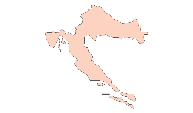
Croatia
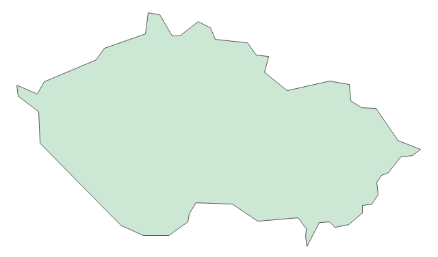
Czech Republic
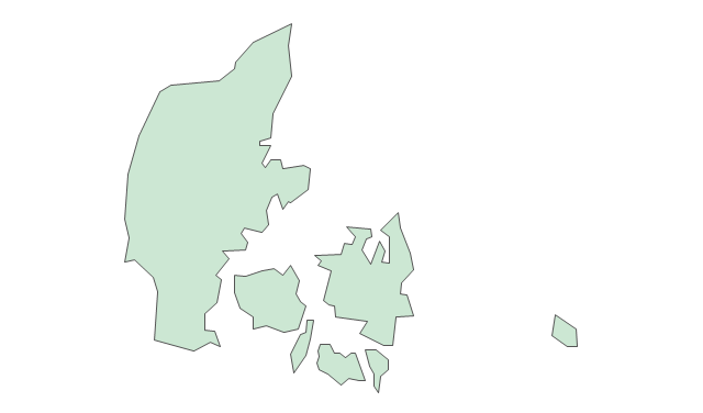
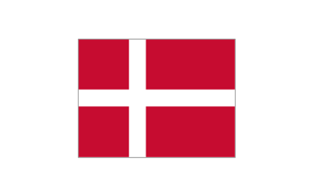
Denmark
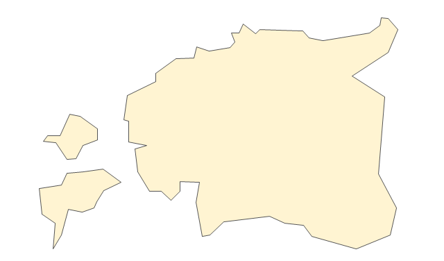
Estonia
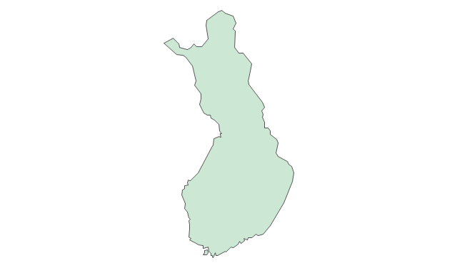
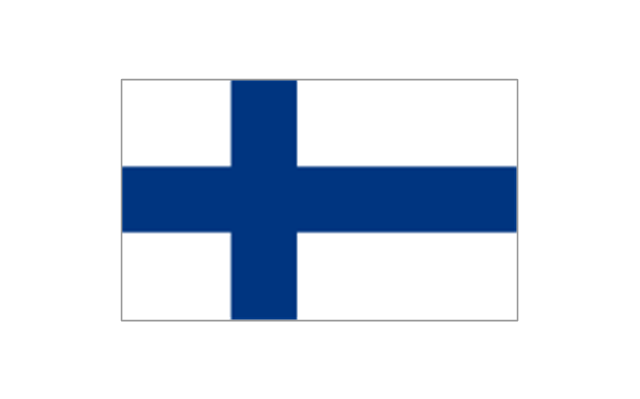
Finland
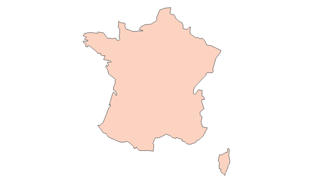
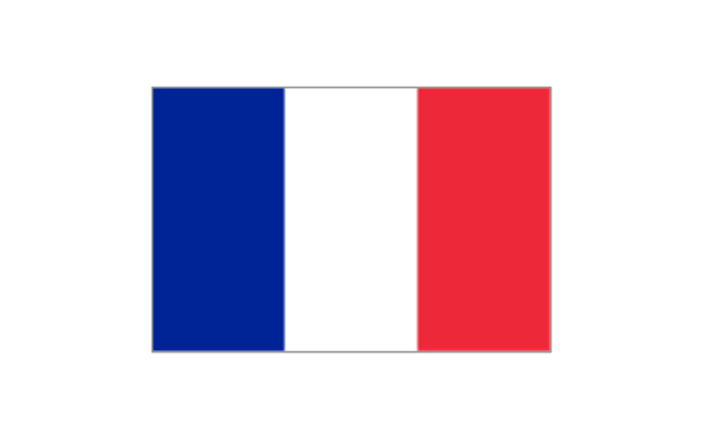
France
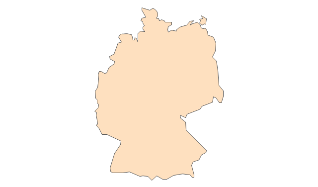
Germany
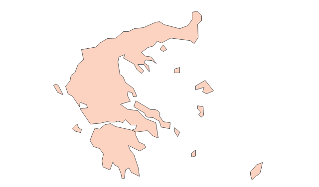
Greece
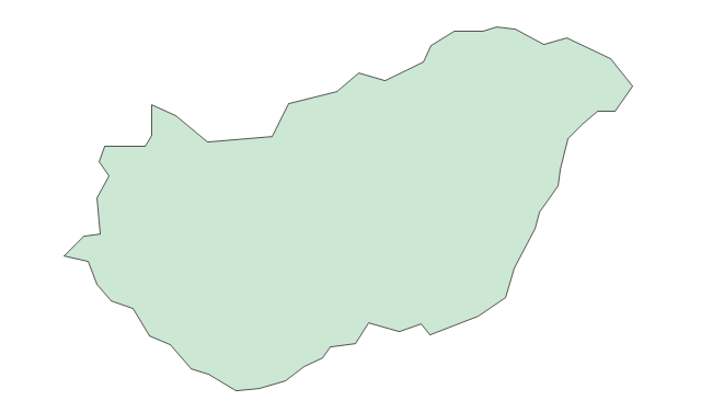
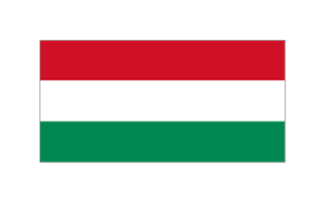
Hungary
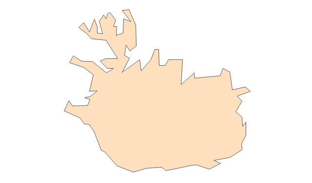
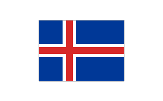
Iceland
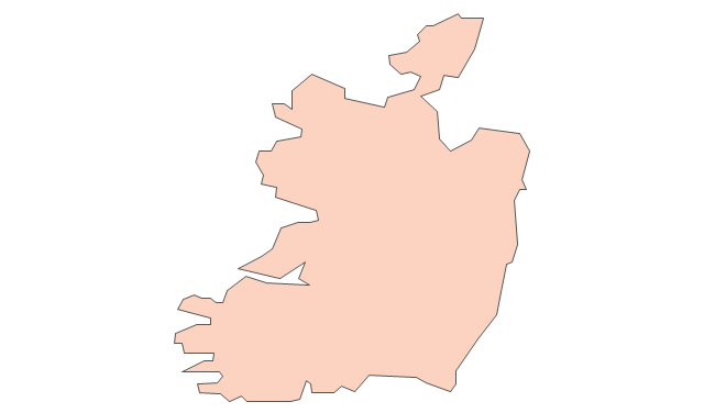
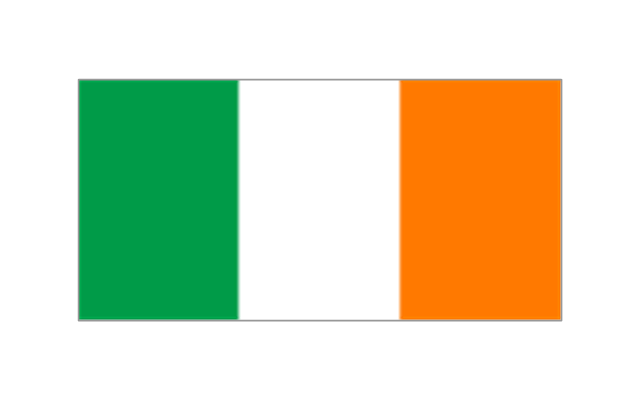
Ireland
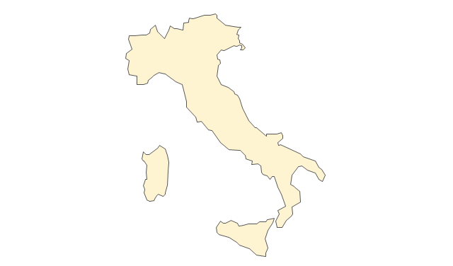
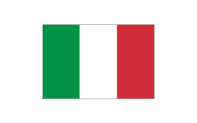
Italy
Latvia
Lithuania
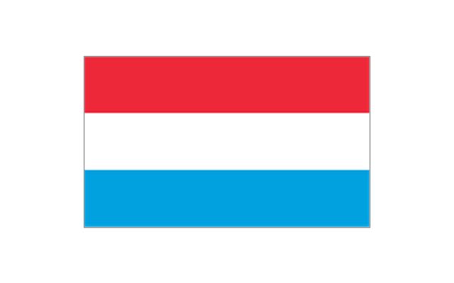
Luxembourg
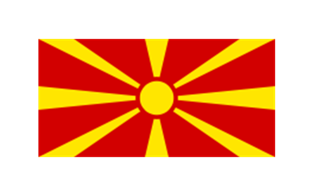
Macedonia
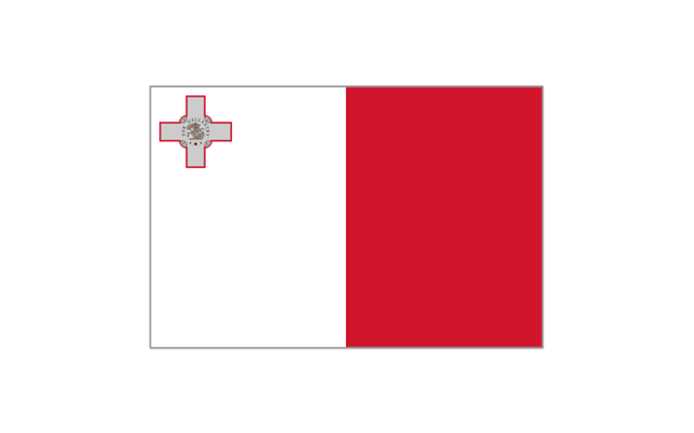
Malta
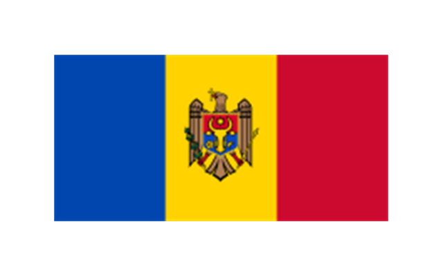
Moldova
Montenegro
Netherlands
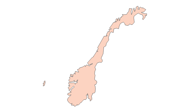
Norway
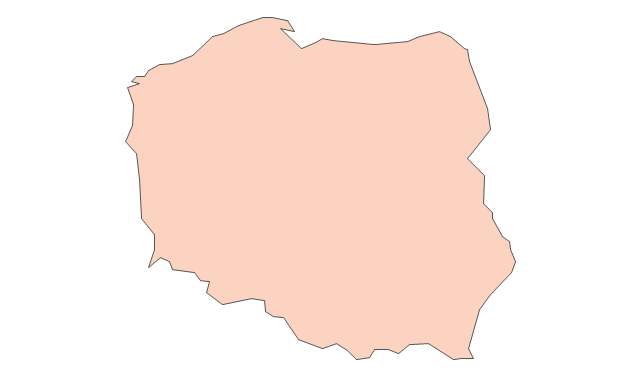
Poland
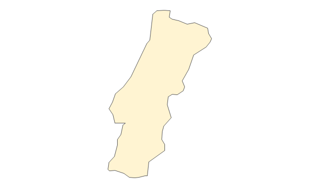
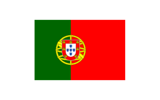
Portugal
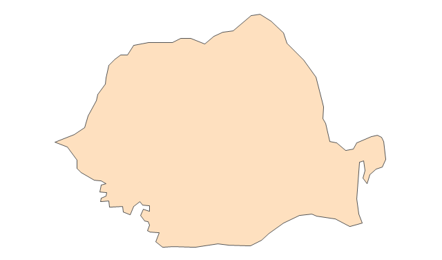
Romania
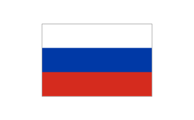
Russia
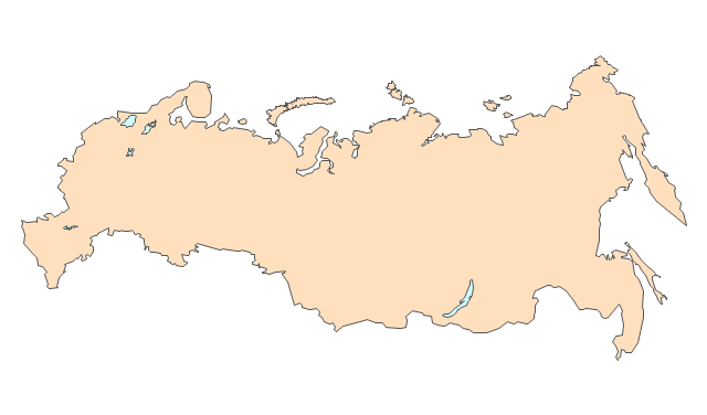
Russia (European)
-europe---vector-stencils-library.png--diagram-flowchart-example.png)
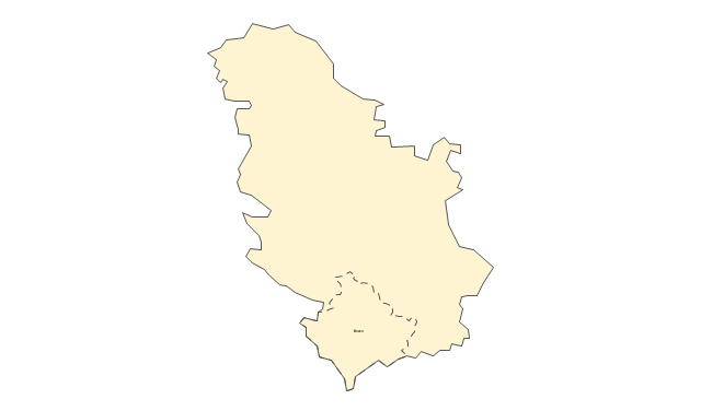
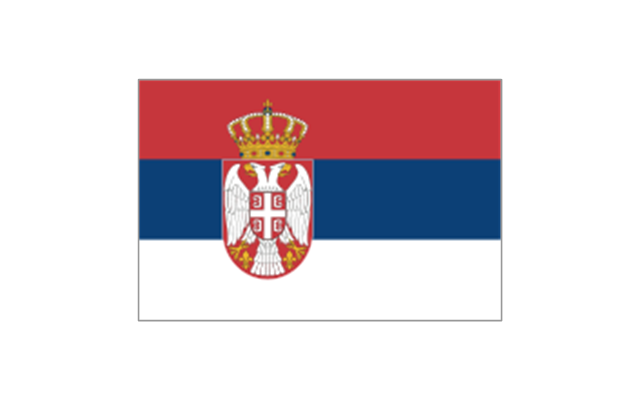
Serbia
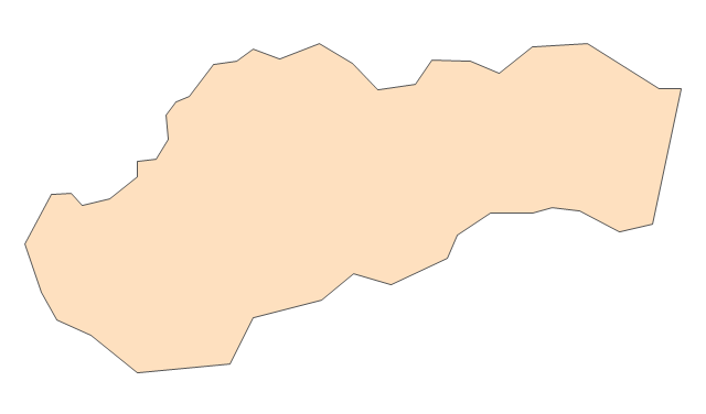
Slovakia
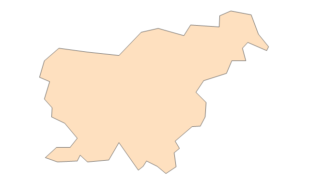
Slovenia
Spain
Sweden
Switzerland
Ukraine
United Kingdom
Geo Map - Europe - Germany

Geo Map - Europe - Poland

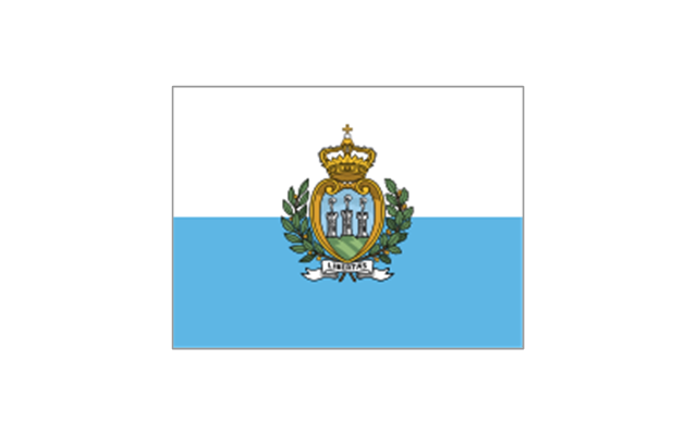
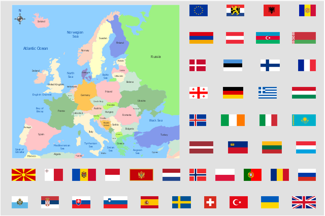
The stencils library "Europe flags" contains 51 clipart images of Europe state flags: supranational and international flags, flags of European countries.
The clip art example "Europe flags - Stencils library" was created using the ConceptDraw PRO diagramming and vector drawing software extended with the Continent Maps solution from the Maps area of ConceptDraw Solution Park.
www.conceptdraw.com/ solution-park/ maps-continent
The clip art example "Europe flags - Stencils library" was created using the ConceptDraw PRO diagramming and vector drawing software extended with the Continent Maps solution from the Maps area of ConceptDraw Solution Park.
www.conceptdraw.com/ solution-park/ maps-continent
European Union

Benelux
Albania

Andorra
Armenia

Austria

Azerbaijan
Belarus

Belgium

Bosnia and Herzegovina
Bulgaria
Croatia
Cyprus

Czech Republic
Denmark
Estonia

Finland
France
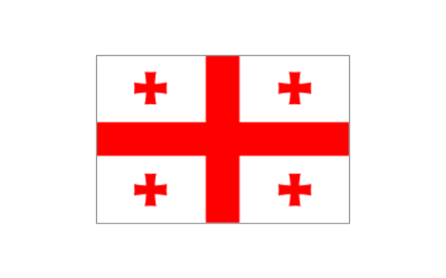
Georgia
Germany

Greece

Hungary
Iceland
Ireland
Italy
Kazakhstan

Latvia

Liechtenstein

Lithuania

Luxembourg
Republic of Macedonia
Malta
Moldova
Monaco

Montenegro
Netherlands
Norway
Poland
Portugal
Romania

Russia
San Marino
Serbia
Slovakia
Slovenia
Spain
Sweden
Switzerland

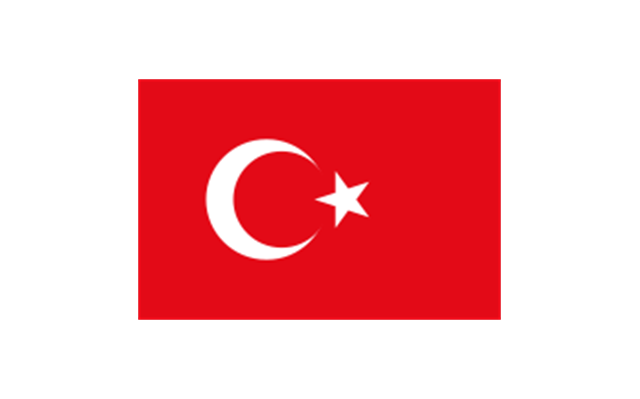
Turkey
Ukraine

United Kingdom

Geo Map - Europe - Slovenia

Geo Map - Europe - Spain

Alphabetical list of subregions in the United Nations geoscheme for Europe.
Eastern Europe: Belarus, Bulgaria, Czech Republic, Hungary, Moldova, Poland, Romania, Russia, Slovakia, Ukraine.
Northern Europe: Åland Islands, Denmark, Estonia, Faroe Islands, Finland, Guernsey, Iceland, Ireland, Isle of Man, Jersey, Latvia, Lithuania, Norway, Svalbard and Jan Mayen, Sweden, United Kingdom.
Southern Europe: Albania, Andorra, Bosnia and Herzegovina, Croatia, Gibraltar, Greece, Italy, Malta, Montenegro, Portugal, Macedonia, San Marino, Serbia, Slovenia, Spain, Vatican City.
Western Europe: Austria, Belgium, France, Germany, Liechtenstein, Luxembourg, Monaco, Netherlands, Switzerland.
" [United Nations geoscheme for Europe. Wikipedia]
This Europe political map example illustrated with European countries flags clipart was drawn using ConceptDraw PRO diagramming and vector drawing software extended with design elements libraries Europe and Europe flags.
These vector stencils libraries are included in the Continent Maps solution from Maps area of ConceptDraw Solution Park.
www.conceptdraw.com/ solution-park/ maps-continent
Geo Map - Europe - Slovakia

Geo Map - USA - Kansas

The vector stencils library Kansas contains contours for ConceptDraw PRO diagramming and vector drawing software. This library is contained in the Continent Maps solution from Maps area of ConceptDraw Solution Park.
Geo Map - Europe - Croatia

- Europe map template | Map Infographic Creator | European ...
- Geo Map - Europe | Europe map template | Maps | - Conceptdraw.com
- Europe - Thematic map template | European membership of the EU ...
- Political map of Europe | Tools to Create Your Own Infographics ...
- Continent Maps | Design elements - Continental map | Geo Map ...
- Geo Map - Europe - Conceptdraw.com
- Political map of Europe | Europe - Thematic map template | Geo Map ...
- Geo Map - Europe - United Kingdom - Conceptdraw.com
- Geo Map - Europe
- Continent Maps | Geo Map - Europe - Germany | Design elements ...
- North America map template | Geo Map - America | Maps |
- EU 28: Candidate countries map | European membership of the EU ...
- Continent Maps | Spatial infographics Design Elements: Location ...
- Continent Maps | Spatial infographics Design Elements: Continental ...
- Geo Map - Europe
- Design elements - South America | Map of USA with state names ...
- Design elements - Europe | Spatial infographics Design Elements ...
- EU 28: Candidate countries map | Geo Map - Australia - New ...
- Spatial infographics Design Elements: Continental Map | Design ...
- Political map of Europe | Map Software | Continent Maps |