Spatial infographics Design Elements: Continental Map

Continents Map

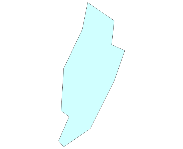
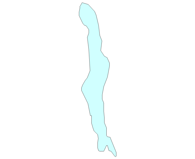
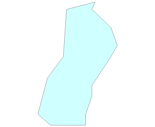
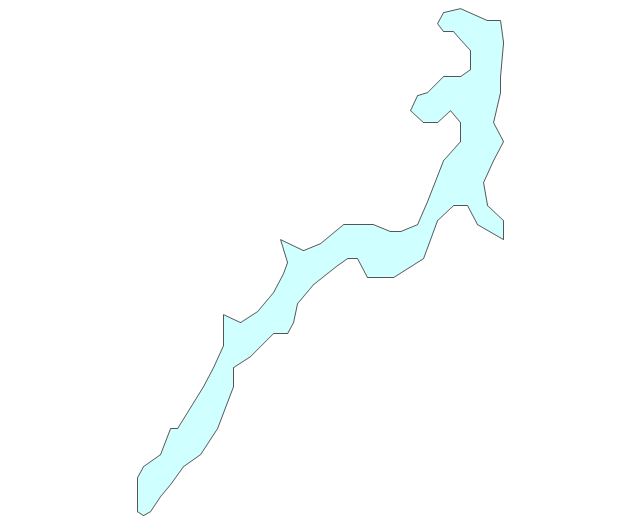
Geo Map - South America Continent

 Continent Maps
Continent Maps solution extends ConceptDraw PRO software with templates, samples and libraries of vector stencils for drawing the thematic maps of continents, state maps of USA and Australia.
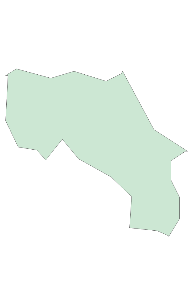
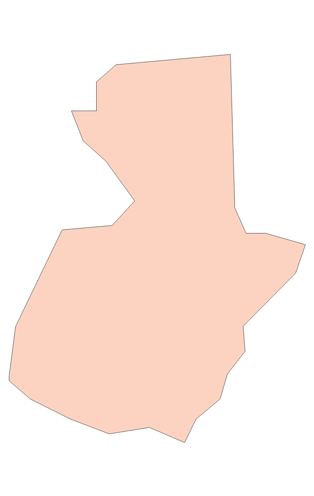
Geo Map - Asia - United Arab Emirates

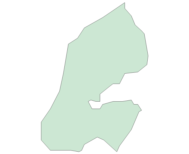
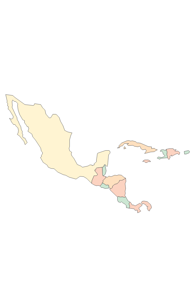
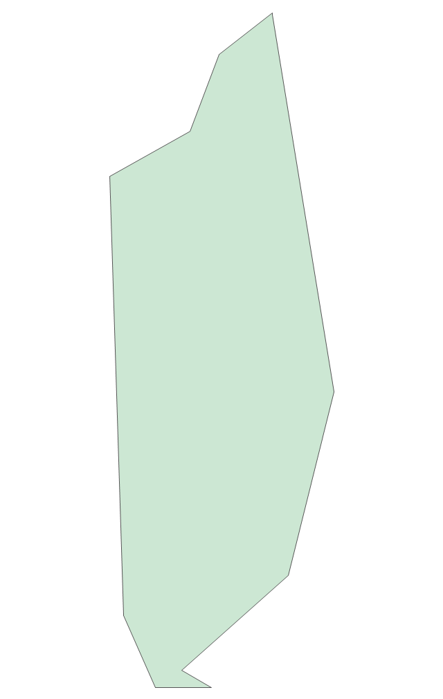
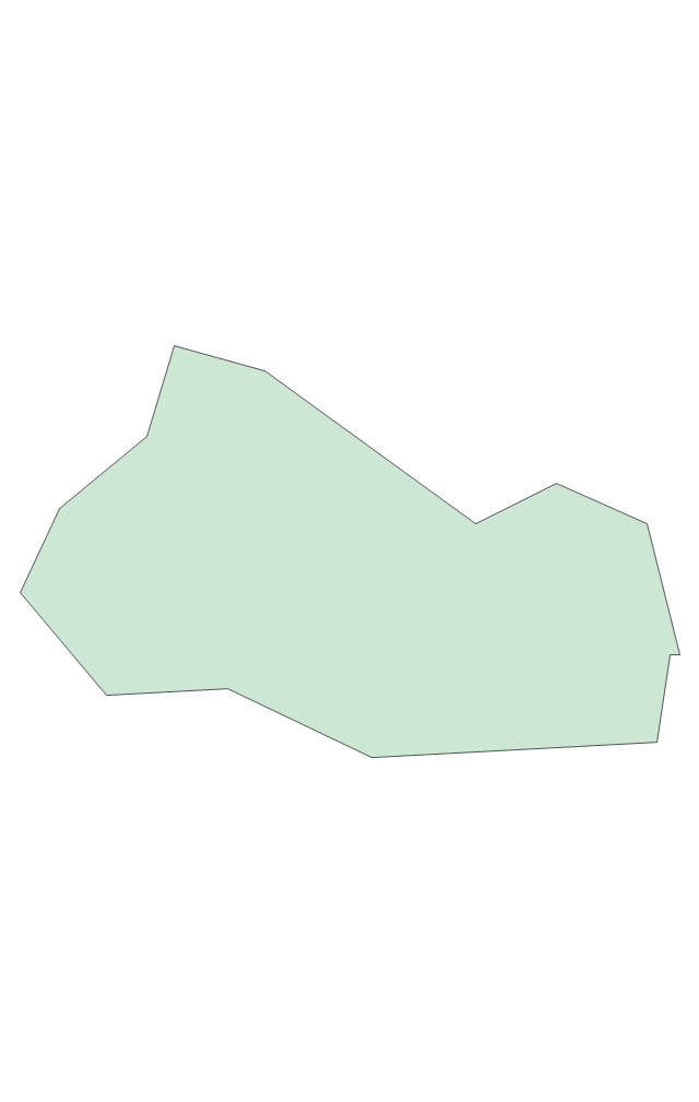
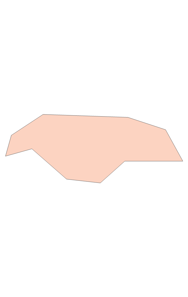
Geo Map - South America - Mexico

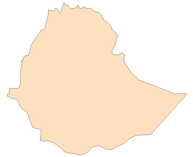
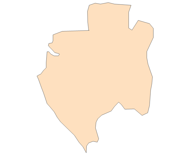
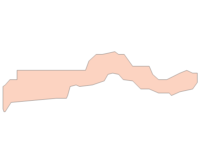
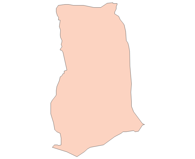
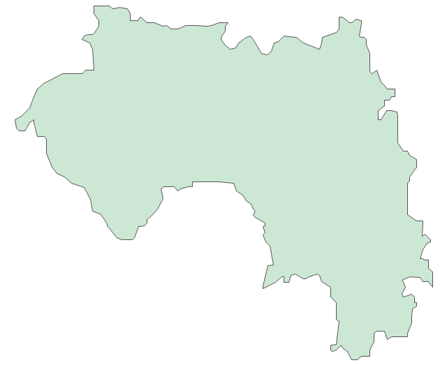
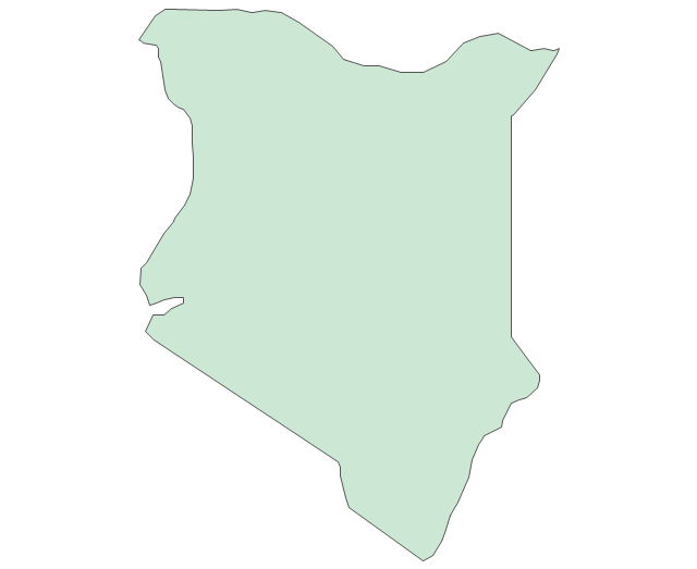
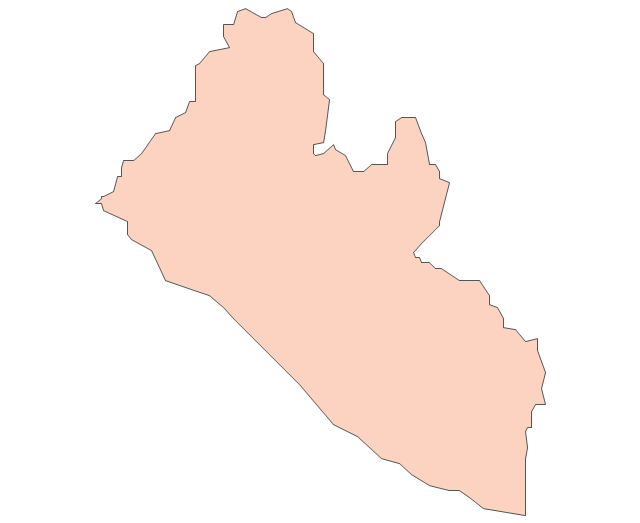
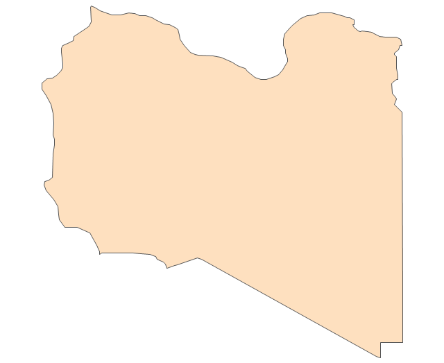
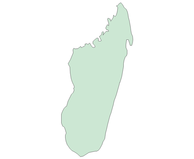
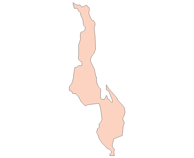
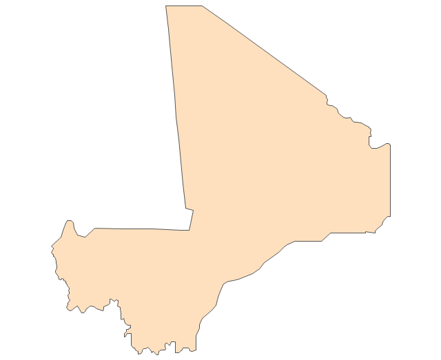
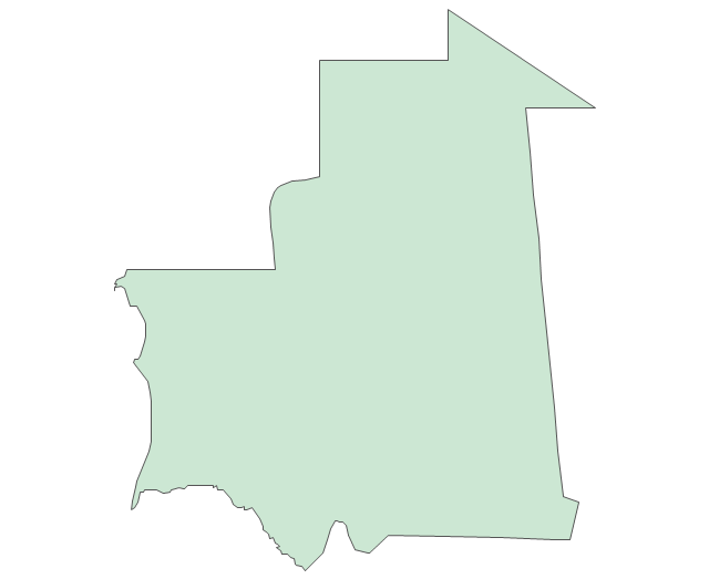
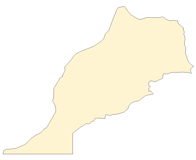
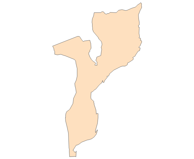
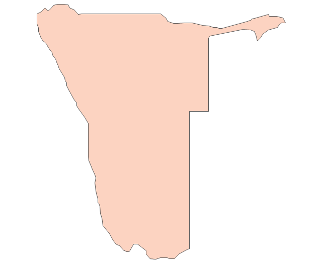
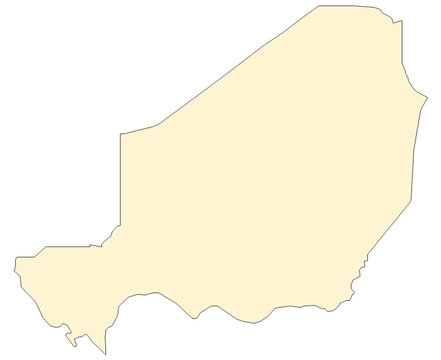
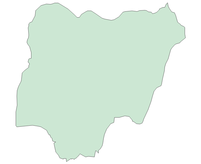
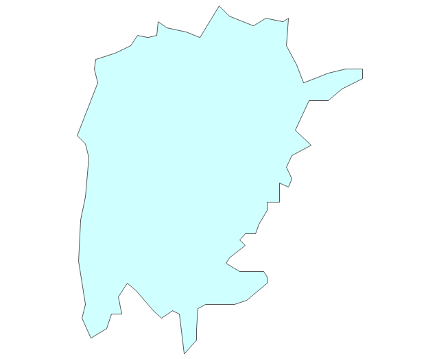
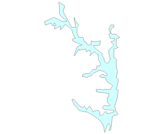
The vector stencils library "Africa" contains 62 country map contours for drawing thematic maps of Africa. Use it for visual representation of geospatial information, statistics and quantitative data.
"Africa is the world's second-largest and second-most-populous continent. ...
The continent includes Madagascar and various archipelagoes. It has 54 fully recognized sovereign states ("countries"), nine territories and two de facto independent states with limited or no recognition." [Africa. Wikipedia]
The map contours example "Africa - Vector stencils library" was created using the ConceptDraw PRO diagramming and vector drawing software extended with the Continent Maps solution from the Maps area of ConceptDraw Solution Park.
Africa
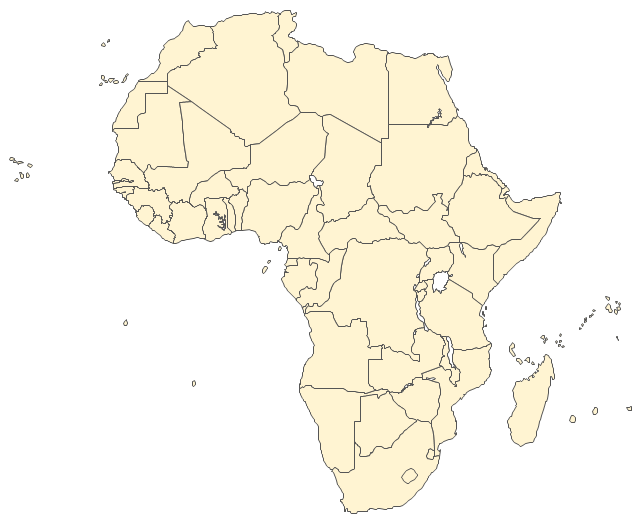
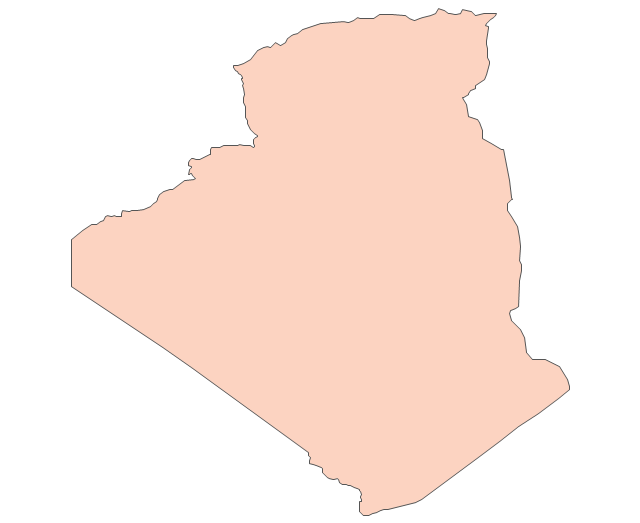
Algeria
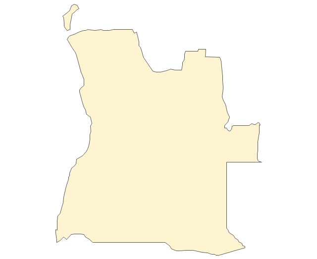
Angola
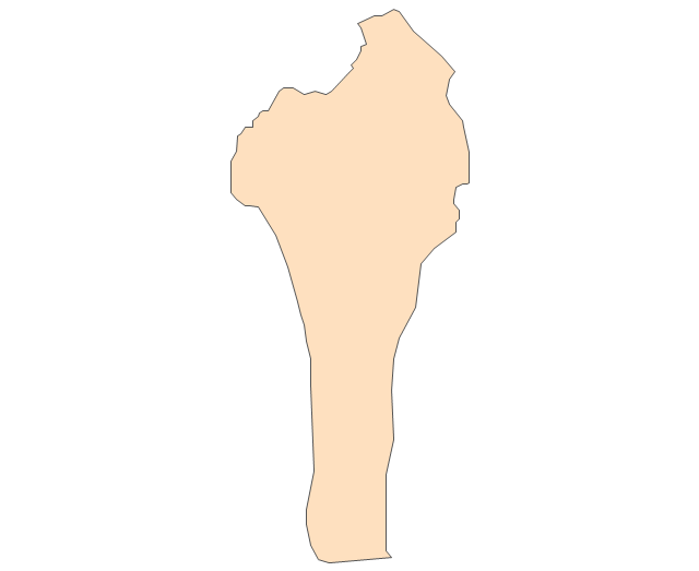
Benin
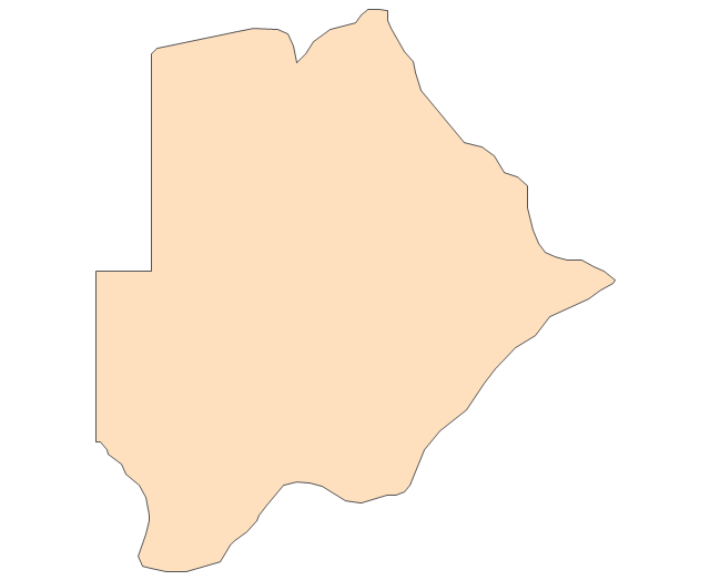
Botswana
Burkina Faso
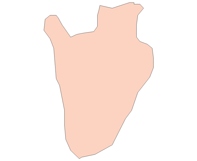
Burundi
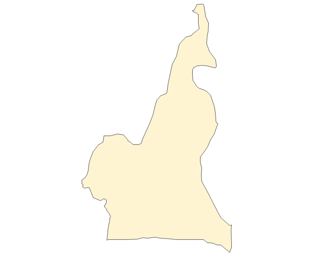
Cameroon
Central African Republic
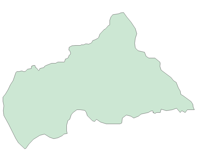
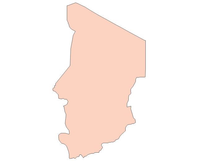
Chad
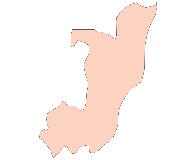
Republic of the Congo
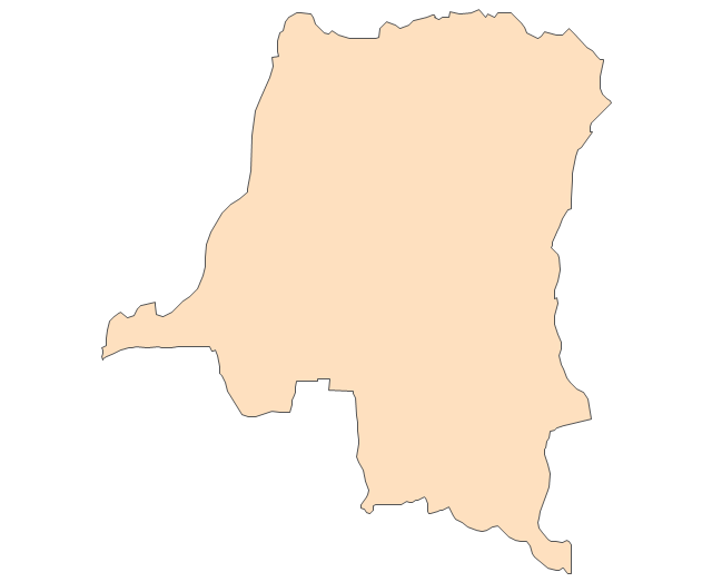
Democratic Republic of the Congo
Ivory Coast (Cote d'Ivoire)
-africa---vector-stencils-library.png--diagram-flowchart-example.png)
Djibouti
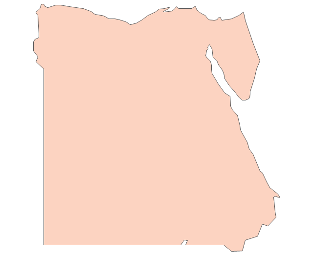
Egypt
Equatorial Guinea
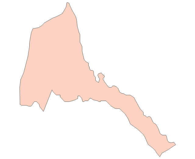
Eritrea
Ethiopia
Gabon
Gambia
Ghana
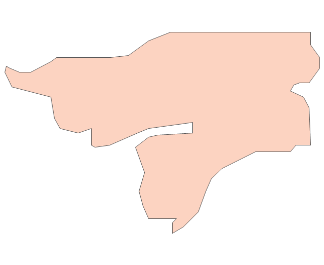
Guinea
Guinea-Bissau
Kenya
Lesotho
Liberia
Libya
Madagascar
Malawi
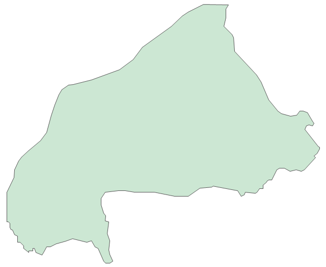
Mali
Mauritania
Morocco
Mozambique
Namibia
Niger
Nigeria
Rwanda
Senegal

Sierra Leone
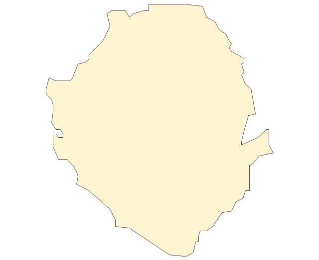
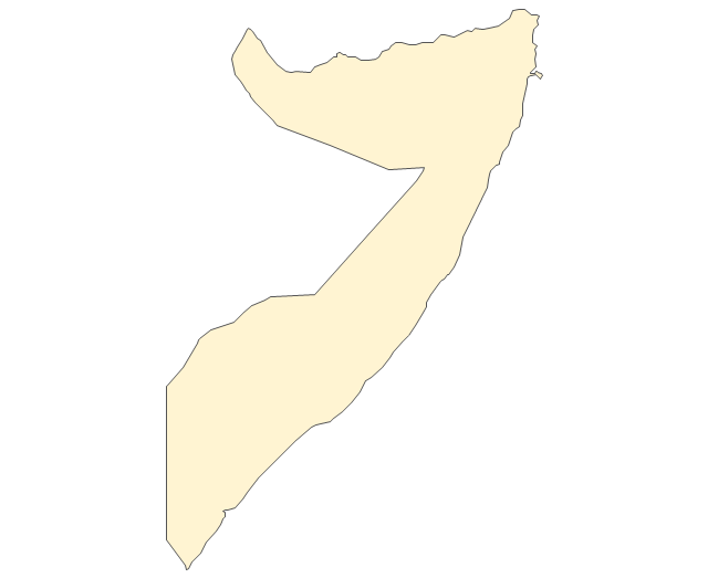
Somalia
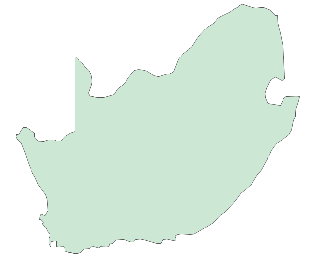
South Africa
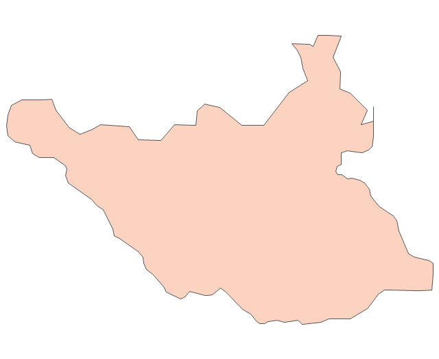
Sudan
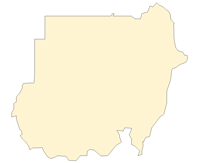
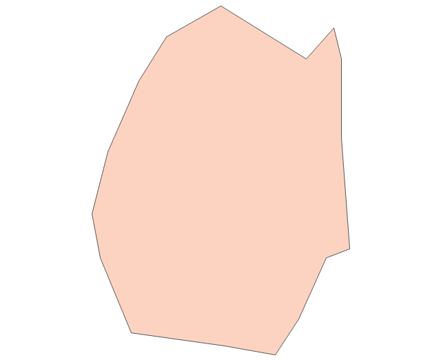
South Sudan
Swaziland
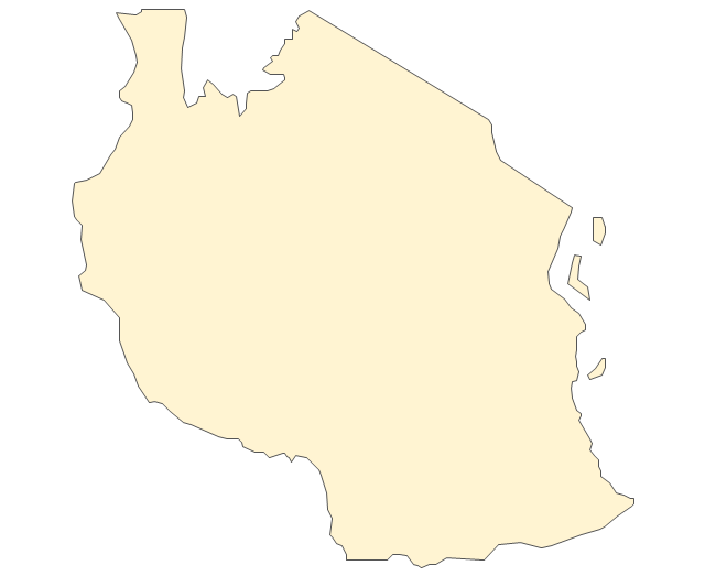
Tanzania
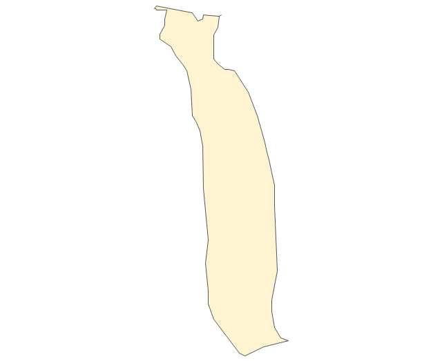
Togo
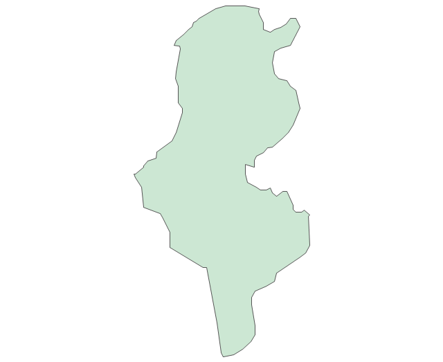
Tunisia
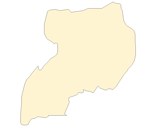
Uganda
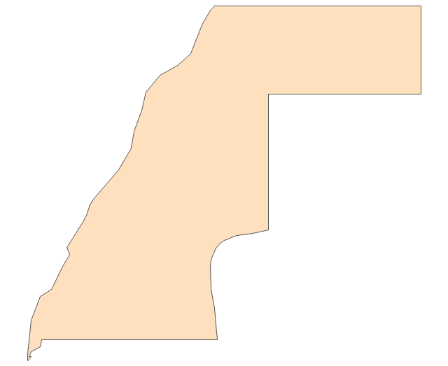
Western Sahara
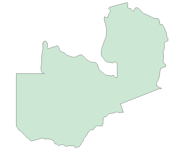
Zambia
Zimbabwe
Lake Albert
Lake Chad
Lake Kariba
Lake Kivu
Lake Malawi
Lake Mweru
Lake Nasser
Lake Tanganyika
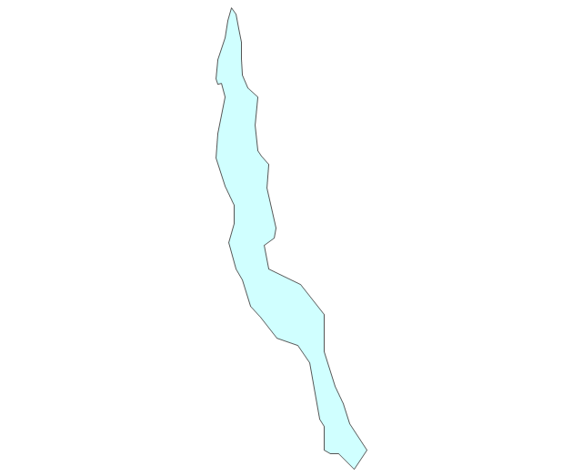
Lake Turkana
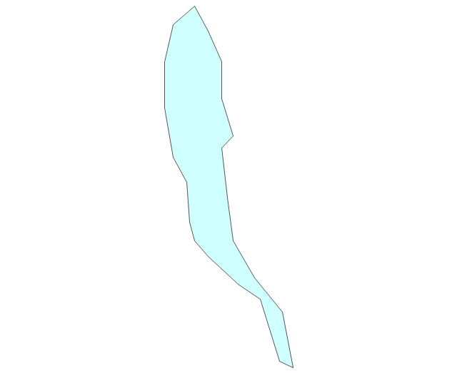
Lake Victoria
Lake Volta
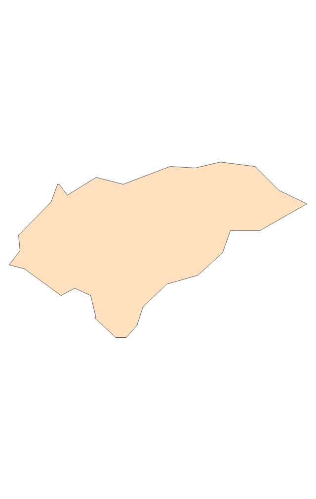
Geo Map - Europe - Czech Republic

Geo Map - USA - West Virginia

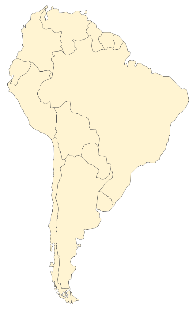
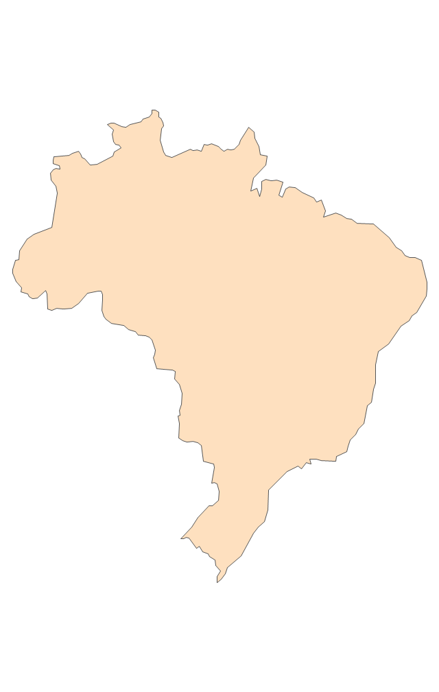
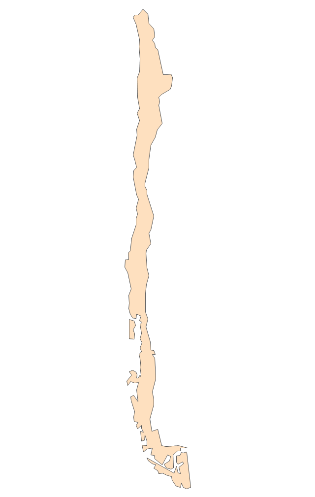
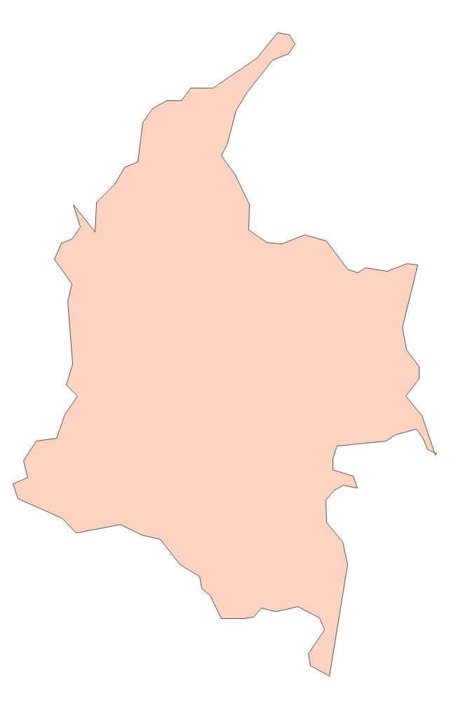
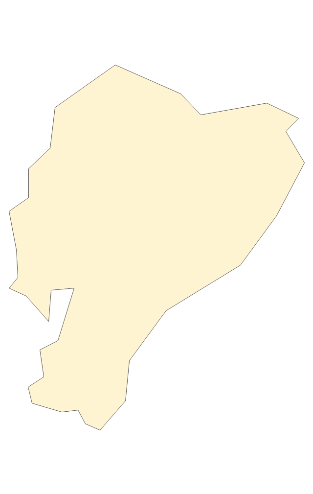
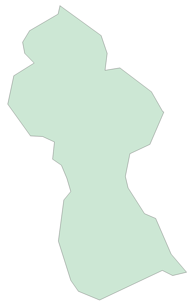
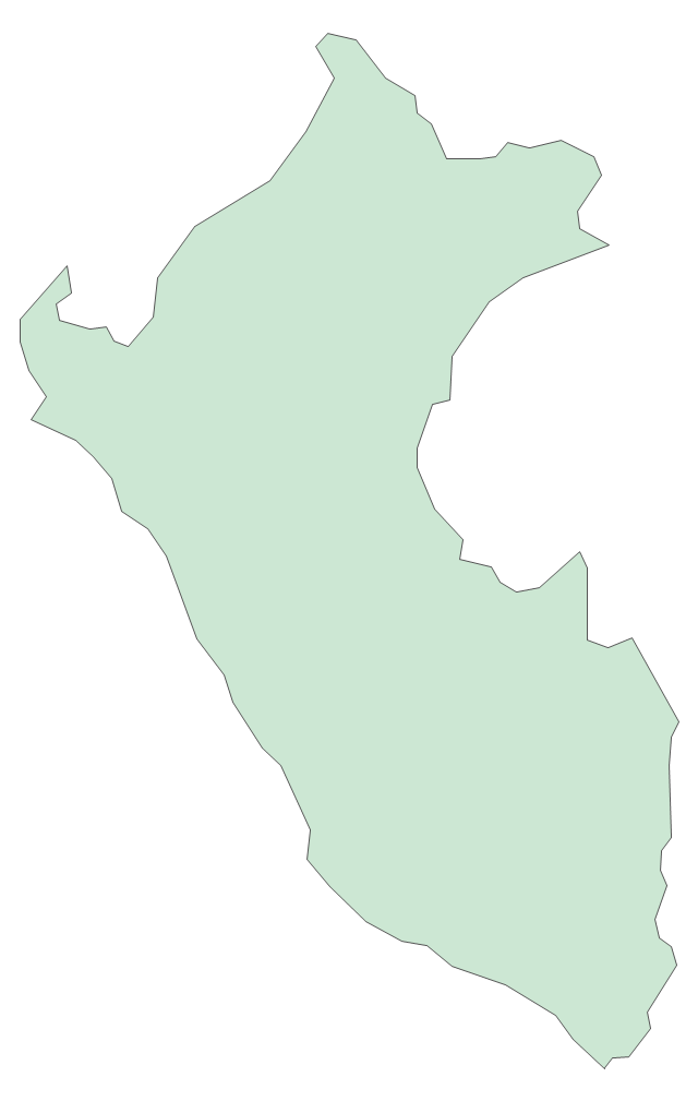
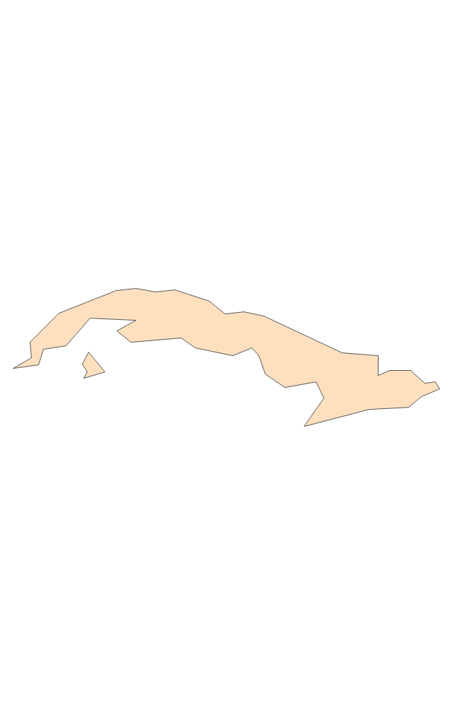
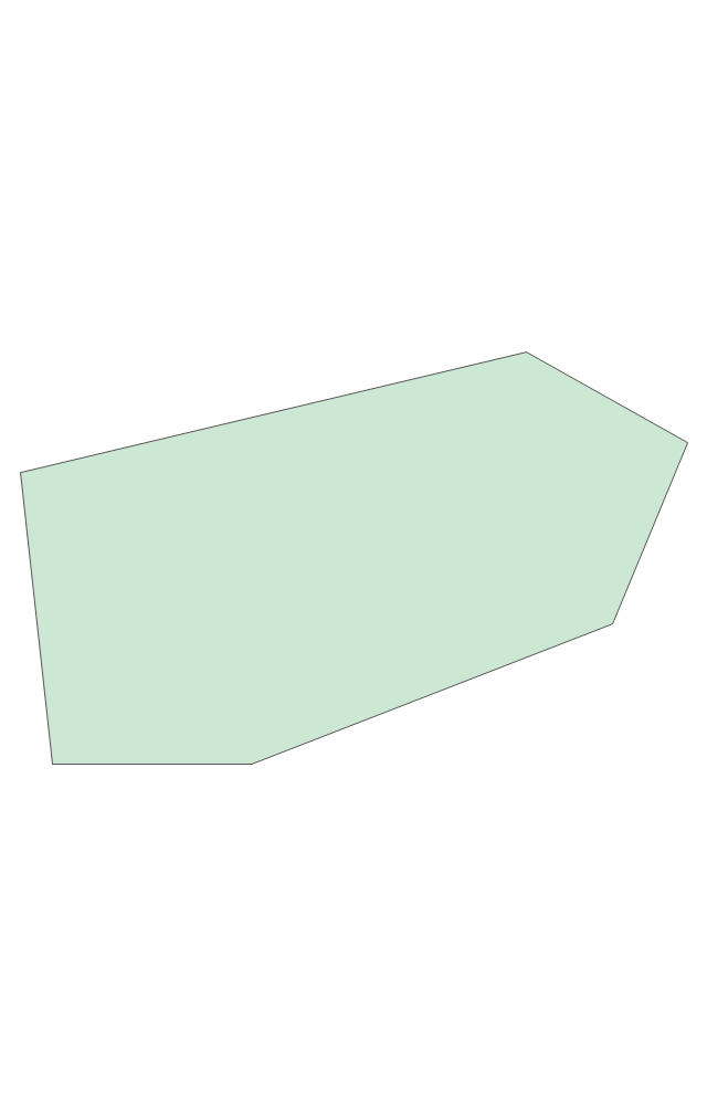
The vector stencils library "South America" contains 29 state map contours for drawing thematic maps of South America. Use it for visual representation of geospatial information, statistics and quantitative data.
"South America is a continent located in the Western Hemisphere, mostly in the Southern Hemisphere, with a relatively small portion in the Northern Hemisphere. ...
It is bordered on the west by the Pacific Ocean and on the north and east by the Atlantic Ocean; North America and the Caribbean Sea lie to the northwest. It includes twelve sovereign states - Argentina, Bolivia, Brazil, Chile, Colombia, Ecuador, Guyana, Paraguay, Peru, Suriname, Uruguay, and Venezuela - and two non-sovereign areas - French Guiana, an overseas department of France, and the Falkland Islands, a British Overseas Territory (nonetheless claimed by Argentina). In addition to this, the ABC islands of the Netherlands may also be considered part of South America." [South America. Wikipedia]
The state map contours example "South America - Vector stencils library" was created using the ConceptDraw PRO diagramming and vector drawing software extended with the Continent Maps solution from the Maps area of ConceptDraw Solution Park.
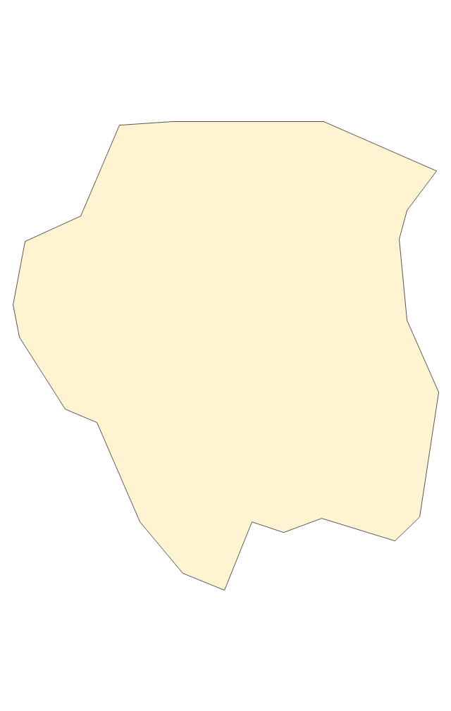
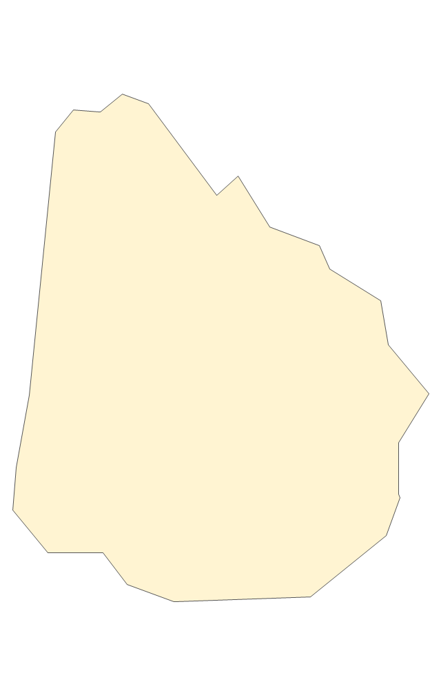
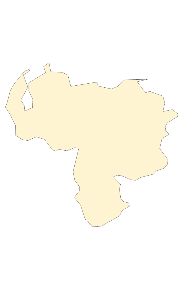
South America
Central America
Argentina
Bolivia
Brazil
Chile
Colombia
Ecuador
French Guiana
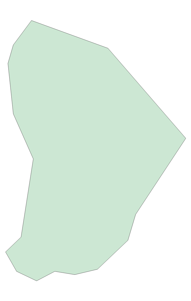
Guyana
Paraguay
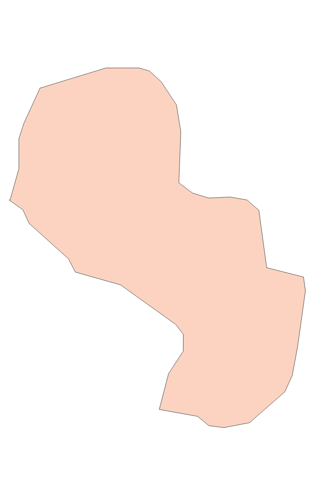
Peru
Suriname
Uruguay
Venezuela
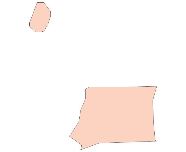
Trinidad and Tobago
Belize
Costa Rica
Cuba
Dominican Republic
El Salvador
Guatemala
Haiti
Honduras
Jamaica
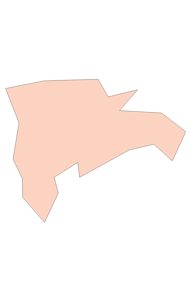
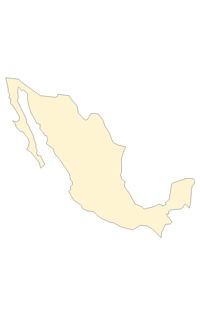
Mexico
Nicaragua
Panama
Puerto Rico
Geo Map - Europe - France

Geo Map - USA - Washington

The vector stencils library "Asia" contains 57 Asian state map contours for drawing thematic and political maps of Asia. Use it for visual representation of geospatial information, statistics and quantitative data.
"Asia is the Earth's largest and most populous continent, located primarily in the eastern and northern hemispheres. ... Countries: 49 (and 5 disputed)." [Asia. Wikipedia]
The state map contours example "Asia - Vector stencils library" was created using the ConceptDraw PRO diagramming and vector drawing software extended with the Continent Maps solution from the Maps area of ConceptDraw Solution Park.
Asia

Central Asia

South Asia

East Asia

Southeast Asia

Afghanistan

Armenia

Azerbaijan

Bahrain

Bangladesh

Bhutan

Brunei

Burma (Myanmar)
-asia---vector-stencils-library.png--diagram-flowchart-example.png)
Cambodia

China

Cyprus

Georgia

India

Indonesia

Iran

Iraq

Israel

Japan

Jordan

Kazakhstan

Kuwait

Kyrgyzstan

Laos

Lebanon

Malaysia

Maldives

Mongolia

Nepal

North Korea

Oman

Pakistan

Papua New Guinea

Philippines

Qatar

Russia (Asia)
-asia---vector-stencils-library.png--diagram-flowchart-example.png)
Saudi Arabia

Singapore

South Korea

Sri Lanka

Syria

Taiwan

Tajikistan

Thailand

Turkey

Turkmenistan

United Arab Emirates

Uzbekistan

Vietnam

Yemen

Aral Sea

Caspian Sea

Lake Balkhash

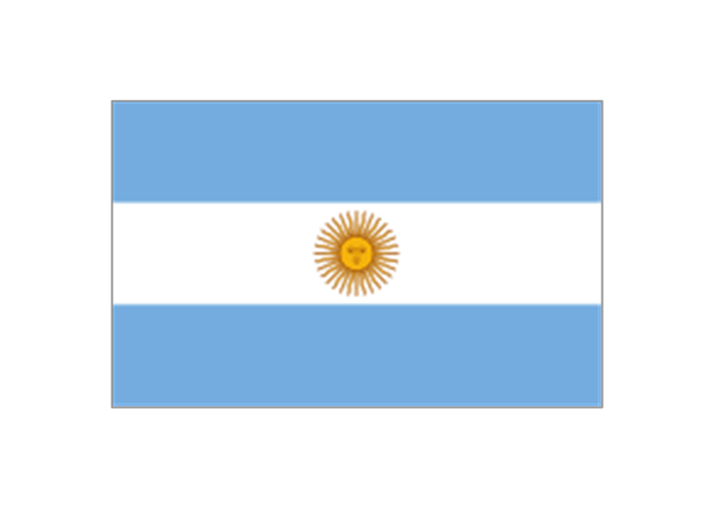
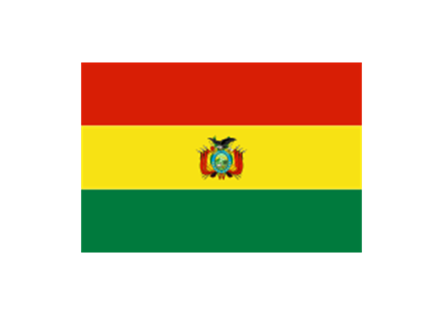
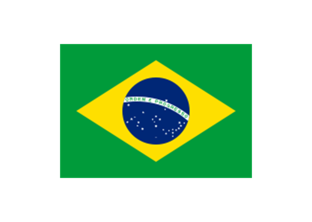
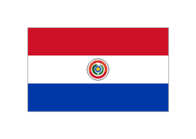
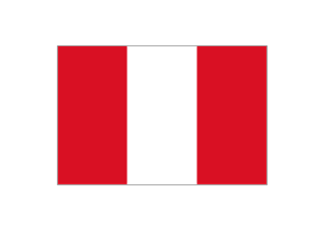
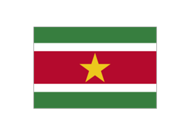
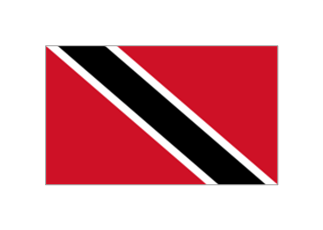
The stencils library "South America flags" contains 14 clipart images of South American countries state flags.
"... flags of South American countries and affiliated international organizations.
International: Flag of the Andean Community of Nations, Flag of the European Union, Flag of Mercosur, Flag of OPEC, Flag of the Organisation internationale de la Francophonie, Flag of the Union of South American Nations.
Countries: Flag of Argentina, Flag of Bolivia, Flag of Brazil, Flag of Chile, Flag of Colombia, Flag of Ecuador, Flag of Guyana, Flag of Paraguay, Flag of Peru, Flag of Suriname, Flag of Uruguay, Flag of Venezuela.
Territories: Flag of Aruba (Kingdom of the Netherlands), Flag of Bonaire (Kingdom of the Netherlands), Flag of Curacao (Kingdom of the Netherlands), Flag of the Falkland Islands (British Overseas Territory), Flag of French Guiana (Overseas Department of France), Flag of South Georgia and the South Sandwich Islands (British Overseas Territory)." [Flags of South America. Wikipedia]
The clip art example "South America flags - Stencils library" was created using the ConceptDraw PRO diagramming and vector drawing software extended with the Continent Maps solution from the Maps area of ConceptDraw Solution Park.
www.conceptdraw.com/ solution-park/ maps-continent
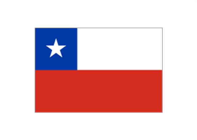
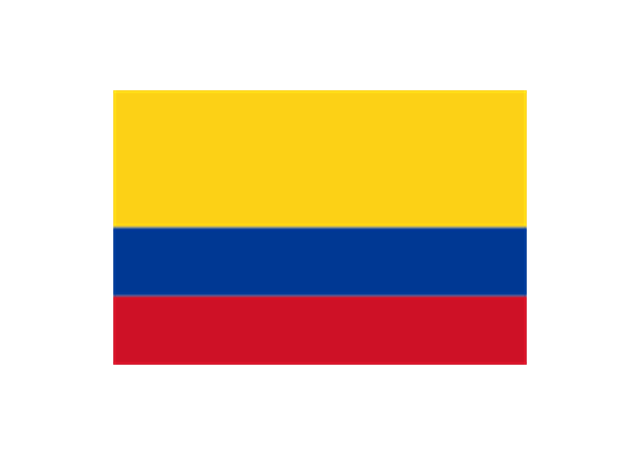
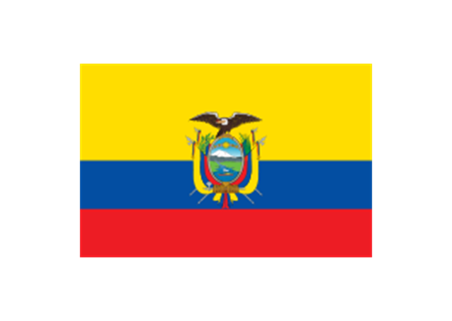
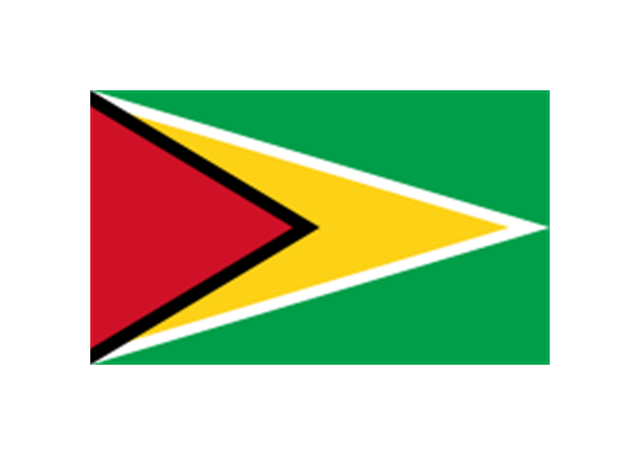
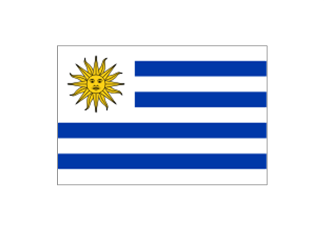
Argentina
Bolivia
Brazil
Chile
Colombia
Ecuador
French Guiana (France)
-south-america-flags---stencils-library.png--diagram-flowchart-example.png)
Guyana
Paraguay
Peru
Suriname
Trinidad and Tobago
Uruguay
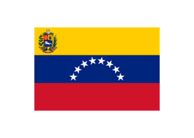
Venezuela
Geo Map - Canada - Yukon

- Continent Maps | South America - Vector stencils library | North and ...
- Geo Map - South America Continent | South America country flags ...
- North and Central America flags - Stencils library | Geo Map - South ...
- Map symbols - Vector stencils library
- South America flags - Stencils library | Geo Map - South America ...
- South America country flags - Vector stencils library | Geo Map ...
- Management map Canada - Vector stencils library | North America ...
- Continent Maps | Geo Map of Americas | North and Central America ...
- Geo Map - South America Continent | Geo Map - Europe - Spain ...
- Geo Map - Africa | Geo Map - South America Continent | Africa flags ...
- Map of Continents | Geo Map - Asia - United Arab Emirates | Geo ...
- Continent Maps | Design elements - Continental map | Geo Map ...
- Geo Map - South America Continent | Manufacturing in America ...
- Spatial infographics Design Elements: Continental Map | Time and ...
- European Continents
- Asia Continent Map
- Geo Map - Canada - Nova Scotia
- Europe Continent Flags
- Flags - Stencils library | Political map of Europe | Design elements ...
- Continent Maps | Spatial infographics Design Elements: Continental ...