The vector stencils library "South America country flags" contains 13 clipart images of South American state flags. Use the South America country flags clip art to illustrate your business documents, presentation slides, web pages, geo maps and infographics. The clip art example "South America country flags - Vector stencils library" was created using the ConceptDraw PRO diagramming and vector drawing software extended with the Artwork solution from the Illustration area of ConceptDraw Solution Park.
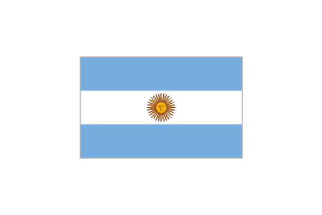
Argentina
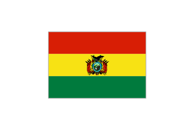
Bolivia
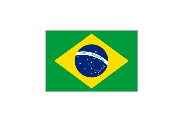
Brazil
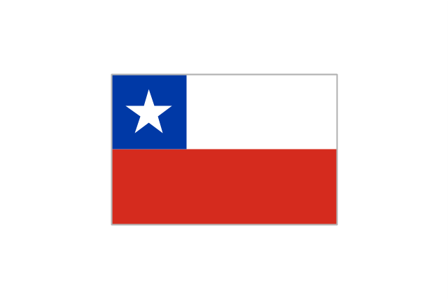
Chile
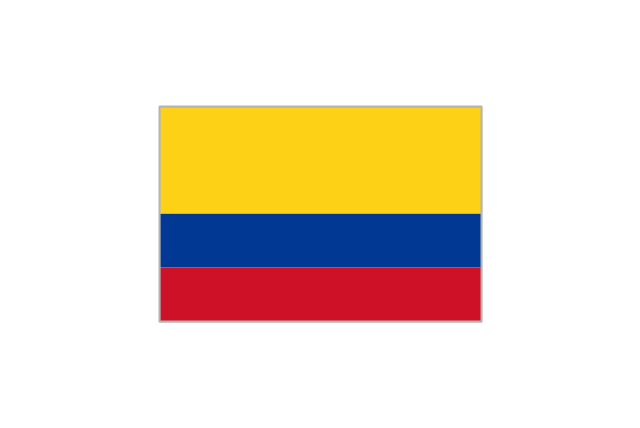
Colombia
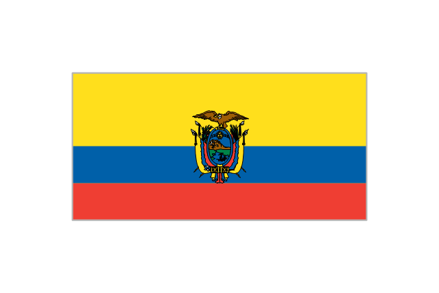
Ecuador
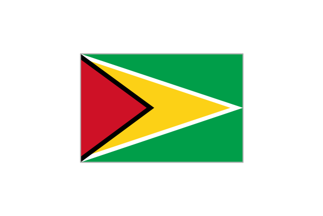
Guyana
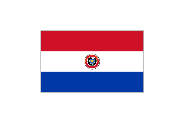
Paraguay
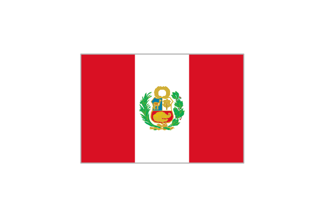
Peru
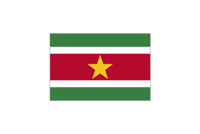
Suriname
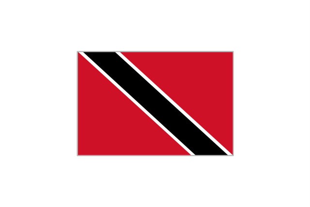
Trinidad and Tobago
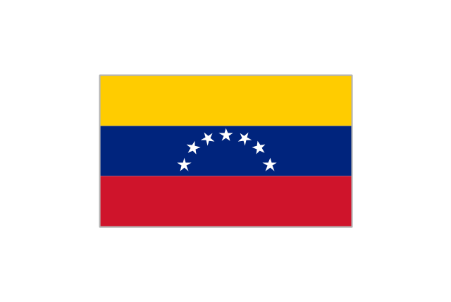
Venezuela
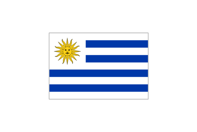
Uruguay
Geo Map — South America Continent

Geo Map - South America - Nicaragua

Geo Map - South America - Brazil

Geo Map - South America - Guatemala

Geo Map - South America - Colombia

Geo Map - South America - Venezuela

Geo Map — United States of America Map

Geo Map — Europe — France

Geo Map - Europe - Switzerland

Geo Map — Asia

How To Create Restaurant Floor Plan in Minutes


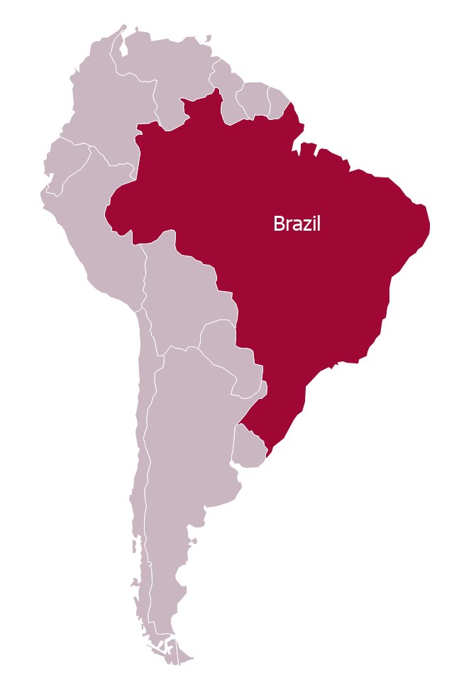
"Brazil ..., officially the Federative Republic of Brazil ... is the largest country in both South America and the Latin American region. It is the world's fifth largest country, both by geographical area and by population. It is the largest Lusophone country in the world, and the only one in the Americas.
Bounded by the Atlantic Ocean on the east, Brazil has a coastline of 7,491 km (4,655 mi). It is bordered on the north by Venezuela, Guyana, Suriname and the French overseas region of French Guiana; on the northwest by Colombia; on the west by Bolivia and Peru; on the southwest by Argentina and Paraguay and on the south by Uruguay. Numerous archipelagos form part of Brazilian territory, such as Fernando de Noronha, Rocas Atoll, Saint Peter and Paul Rocks, and Trindade and Martim Vaz. It borders all other South American countries except Ecuador and Chile and occupies 47 percent of the continent of South America." [Brazil. Wikipedia]
This Brazil in South America map was redesigned from Wikimedia Commons file: Brazil in South America (-mini map -rivers).svg. [commons.wikimedia.org/ wiki/ File:Brazil_ in_ South_ America_ (-mini_ map_ -rivers).svg]
This file is licensed under the Creative Commons Attribution-Share Alike 3.0 Unported license. [creativecommons.org/ licenses/ by-sa/ 3.0/ deed.en]
This Brazil in South America map example was drawn using ConceptDraw PRO diagramming and vector drawing software extended with design elements library South America. This example is included in the Continent Maps solution from the Maps area of ConceptDraw Solution Park.
Political map - Brazil in South America
Geo Map - Europe - Russia

Map of Continents

- North American Country Flag Photo
- All Europe Country Flag Photos
- Photos Of The Map Of The United States Of America
- Map Photos Of South America
- European country flags - Vector stencils library | South America ...
- Design elements - South America country flags | South America ...
- 7 Continents Map | Geo Map - Australia - New South Wales | Geo ...
- America Maps Images
- Images Of The Continent Of Europe
- South America State Flags
- South America flags - Stencils library | South America country flags ...
- Design elements - North and Central America country flags | South ...
- Arab Countries And Their Flags
- Design elements - North and Central America country flags | Design ...
- European country flags - Vector stencils library | South America ...
- Geo Map - South America Continent | Design elements - South ...
- Geo Map - South America - Venezuela | South America flags ...
- Artwork | Clipart School | Design elements - North and Central ...
- Geo Map - South America - Mexico | Geo Map - USA - Alaska | Geo ...
- Asian country flags - Vector stencils library | Design elements - Asian ...