Geo Map - USA - Colorado
Colorado is a U.S. state encompassing most of the Southern Rocky Mountains as well as the northeastern portion of the Colorado Plateau and the western edge of the Great Plains. The vector stencils library Colorado contains contours for ConceptDraw PRO diagramming and vector drawing software. This library is contained in the Continent Maps solution from Maps area of ConceptDraw Solution Park.Geo Map - Canada - New Brunswick
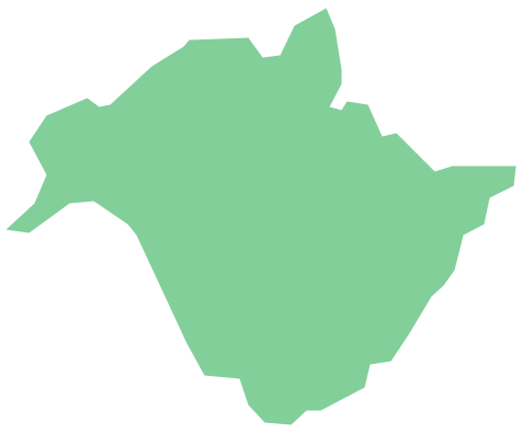
New Brunswick is one of Canada's three Maritime provinces and is the only province in the Canadian federation that is constitutionally bilingual (English–French). The vector stencils library New Brunswick contains contours for ConceptDraw PRO diagramming and vector drawing software. This library is contained in the Continent Maps solution from Maps area of ConceptDraw Solution Park.Geo Map - Canada - Newfoundland and Labrador
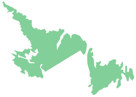
Newfoundland and Labrador is the easternmost province of Canada. The vector stencils library Newfoundland and Labrador contains contours for ConceptDraw PRO diagramming and vector drawing software. This library is contained in the Continent Maps solution from Maps area of ConceptDraw Solution Park.Geo Map - USA - Mississippi
Mississippi is a U.S. state located in the Southern United States. The vector stencils library Mississippi contains contours for ConceptDraw PRO diagramming and vector drawing software. This library is contained in the Continent Maps solution from Maps area of ConceptDraw Solution Park.
 Area Charts
Area Charts are used to display the cumulative totals over time using numbers or percentages; or to show trends over time among related attributes. The Area Chart is effective when comparing two or more quantities. Each series of data is typically represented with a different color, the use of color transparency in an object’s transparency shows overlapped areas and smaller areas hidden behind larger areas.
Geo Map - Europe - Greece
Greece is strategically located at the crossroads of Europe, Asia, and Africa. The vector stencils library Greece contains contours for ConceptDraw PRO diagramming and vector drawing software. This library is contained in the Continent Maps solution from Maps area of ConceptDraw Solution Park.Geo Map - USA - California
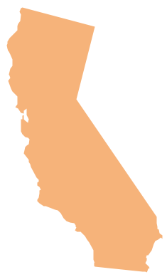
California is a state located on the West Coast of the United States. The vector stencils library California contains contours for ConceptDraw PRO diagramming and vector drawing software. This library is contained in the Continent Maps solution from Maps area of ConceptDraw Solution Park.- Manufacturing in America | Basic Flowchart Symbols and Meaning ...
- Process Flowchart | Organizational Structure | Bar Diagrams for ...
- Total value of manufacturers' shipments | Average energy prices for ...
- Value-Stream Mapping for Manufacturing | Lean Manufacturing ...
- Basic Diagramming | Pie Chart Software | Line Graph | What Is The ...
- Sample Pictorial Chart. Sample Infographics | Basic Flowchart ...
- Step Area Graph | US incarceration timeline-clean - Area graph | US ...
- Bar Diagrams for Problem Solving. Create manufacturing and ...
- Flow chart Example. Warehouse Flowchart | Material Requisition ...
- Manufacturing in America | Double bar chart - Nitrate concentration ...
- Picture Graphs | Process Flowchart | Basic Flowchart Symbols and ...
- Process Flowchart | Basic Flowchart Symbols and Meaning | Local ...
- How to Draw a Pictorial Chart in ConceptDraw PRO | Process ...
- Census Bar Graph
- Service-goods continuum diagram | Flow chart Example ...
- Manufacturing in America | Basic Diagramming | Simple ...
- Picture Graphs | Bar Diagrams for Problem Solving. Create ...
- Pictorial Chart | How to Draw Pictorial Chart. How to Use Infograms ...
- Computer and Internet Use in the United States | How to Draw a ...
- Technical Drawing Software | Technical Flow Chart | Flowchart ...
