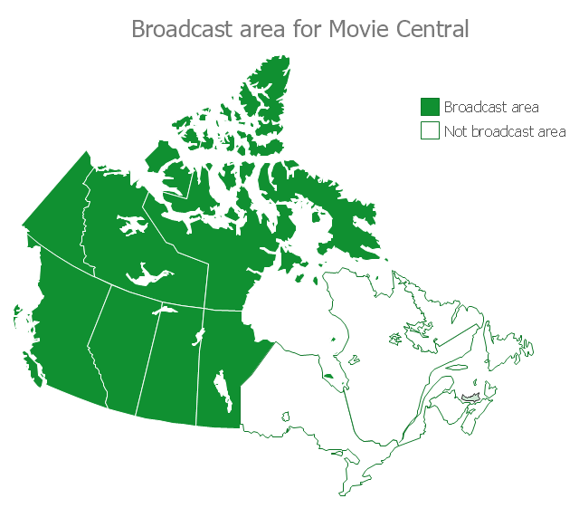
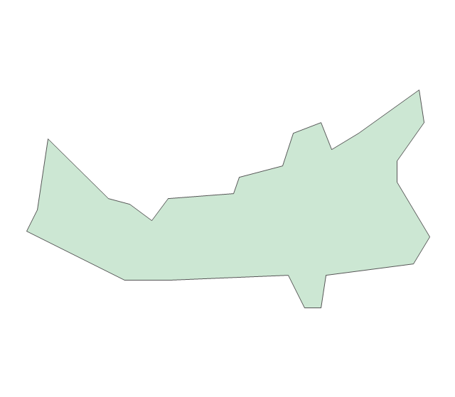
This example of Canada thematic map shows Broadcast area (in green) for Movie Central.
"Movie Central is a Canadian English language Category A premium cable and satellite television channel that is owned by Corus Entertainment. Movie Central is designated to operate west of the Ontario-Manitoba border, including the territories." [Movie Central. Wikipedia]
This thematic map was redesigned from the Wikimedia Commons file: Movie Central Broadcast Area.svg. [commons.wikimedia.org/ wiki/ File:Movie_ Central_ Broadcast_ Area.svg]
The thematic map example "Broadcast Area for Movie Central" was created using ConceptDraw PRO diagramming and vector drawing software extended with Continent Maps solution from Maps area of ConceptDraw Solution Park.
Canada thematic map
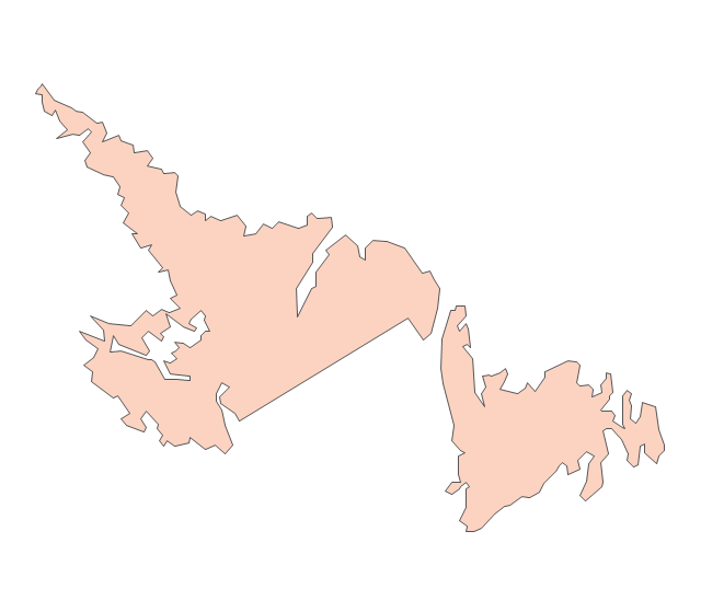
Geo Map - Canada - Newfoundland and Labrador

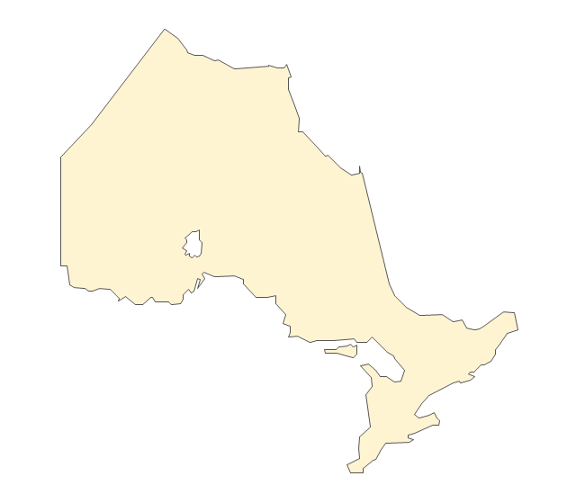
Geo Map - Canada - Ontario

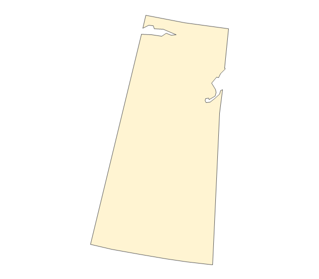
Geo Map - Canada - Yukon

Geo Map - Canada - Nova Scotia

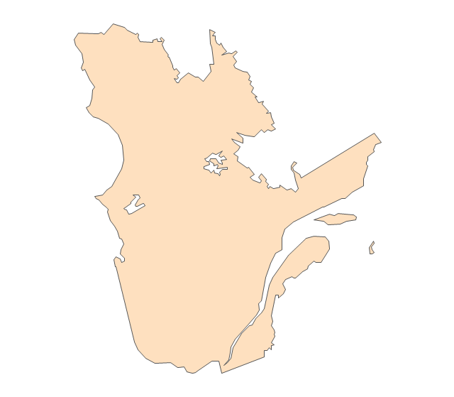
Geo Map - Canada - Quebec

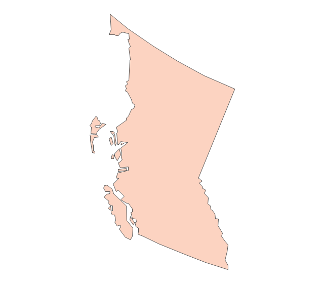
Geo Map - Canada - British Columbia

Geo Map - Canada - Prince Edward Island

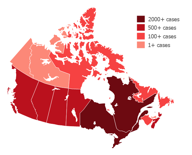
"The 2009 flu pandemic in Canada is part of an epidemic in 2009 of a new strain of influenza A virus subtype H1N1 causing what has been commonly called swine flu. In Canada, roughly 10% of the populace (or 3.5 million) has been infected with the virus, with 428 confirmed deaths (as of 20 February 2010); non-fatal individual cases are for the most part no longer being recorded. About 40% of Canadians have been immunized against H1N1 since a national vaccination campaign began in October, with Canada among the countries in the world leading in the percentage of the population that has been vaccinated." [2009 flu pandemic in Canada. Wikipedia]
This Canada thematic map example was redesigned using ConceptDraw PRO diagramming and vector drwing software from the Wikipedia file: H1N1 Canada Map by confirmed cases.svg.
[en.wikipedia.org/ wiki/ File:H1N1_ Canada_ Map_ by_ confirmed_ cases.svg]
This file is licensed under the Creative Commons Attribution-Share Alike 3.0 Unported license.
[creativecommons.org/ licenses/ by-sa/ 3.0/ deed.en]
This Canada thematic map example was created using ConceptDraw PRO diagramming and vector drawing software extended with Continent Maps solution from Maps area of ConceptDraw Solution Park.
Thematic map - Flu pandemic in Canada
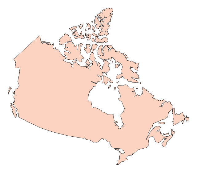
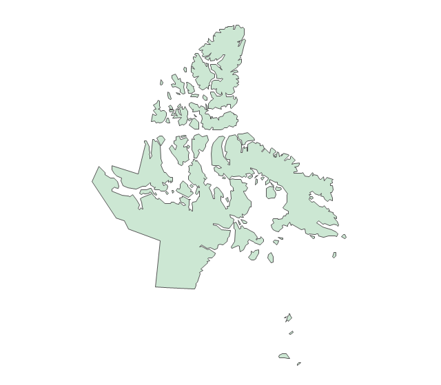
Geo Map - Canada

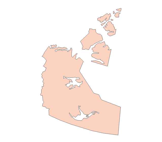
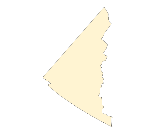
Geo Map - Canada - Northwest Territories

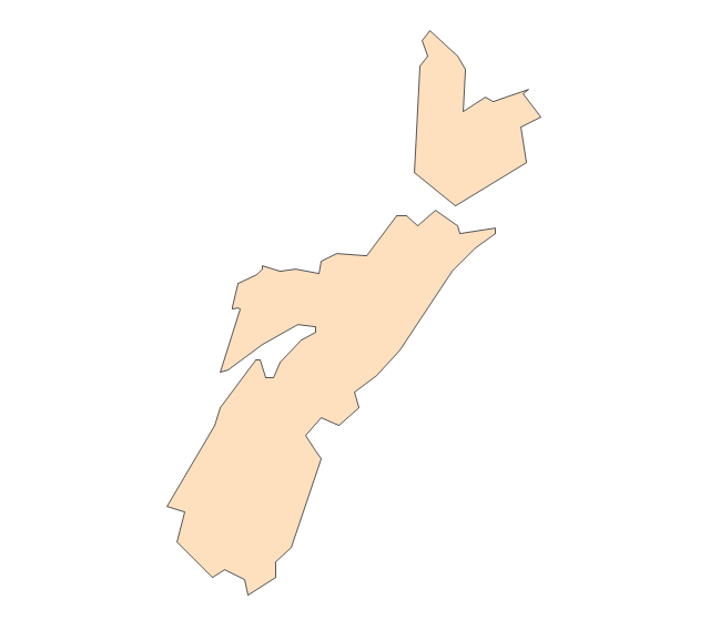
Geo Map - Canada - New Brunswick

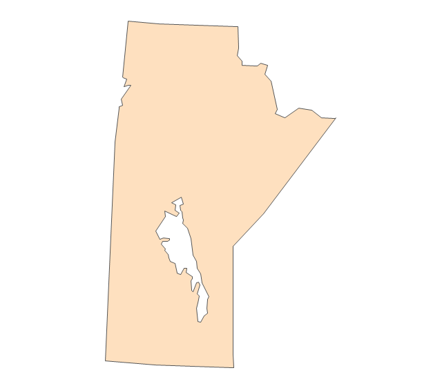
Geo Map - Canada - Manitoba

Geo Map - Canada - Alberta

The vector stencils library "Canada" contains 15 map contours for drawing thematic maps of Canada. Use it for visual representation of geospatial information, statistics and quantitative data.
"The provinces and territories of Canada combine to make up the world's second-largest country by area. Originally three provinces of British North America, New Brunswick, Nova Scotia and the Province of Canada (which would become Ontario and Quebec) united to form the new nation. Since then, Canada's external borders have changed several times, and has grown from four initial provinces to ten provinces and three territories as of 1999. The ten provinces are Alberta, British Columbia, Manitoba, New Brunswick, Newfoundland and Labrador, Nova Scotia, Ontario, Prince Edward Island, Quebec, and Saskatchewan. The three territories are Northwest Territories, Nunavut, and Yukon." [Provinces and territories of Canada. Wikipedia]
The map contours example "Canada - Vector stencils library" was created using the ConceptDraw PRO diagramming and vector drawing software extended with the Continent Maps solution from the Maps area of ConceptDraw Solution Park.
Canada
Canada (color)
-canada---vector-stencils-library.png--diagram-flowchart-example.png)
Alberta
British Columbia
Manitoba
New Brunswick
Newfoundland and Labrador
Northwest Territories
Nova Scotia
Nunavut
Ontario
Prince Edward Island
Quebec
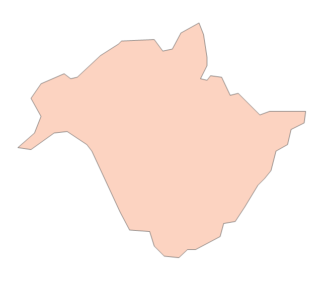
Saskatchewan
Yukon
- Design elements - Thematic maps | Visualization Spatial Data Using ...
- Canada thematic map
- Continent Maps | Broadcast Area for Movie Central - Thematic map ...
- Languages of South America - Thematic map | Design elements ...
- Geo Map - Canada | Canada political map | Canada regions ...
- Canadian Thematic Maps
- Visualization Spatial Data Using Thematic Maps Combined with ...
- Map of USA with state names | Benefit Corporation legislation ...
- Language Map Canada
- Geo Map - Europe - Belarus | Vector Map of Germany | Geo Map ...
- Alberta Canada Map New Brunswick
- Geo Map - Canada - Northwest Territories
- Geo Map - Canada - Prince Edward Island
- Geo Map - Canada - New Brunswick | Canada - Vector stencils ...
- Geo Map - Canada - Newfoundland and Labrador | North America ...
- Canada - Vector stencils library | Management map Canada - Vector ...
- Geo Map - Canada - Ontario | Vector Map of Germany | Geo Map ...
- Geo Map - Canada - Ontario | Canada - Vector stencils library ...
- Canada - Vector stencils library | Geo Map - Canada - Prince ...