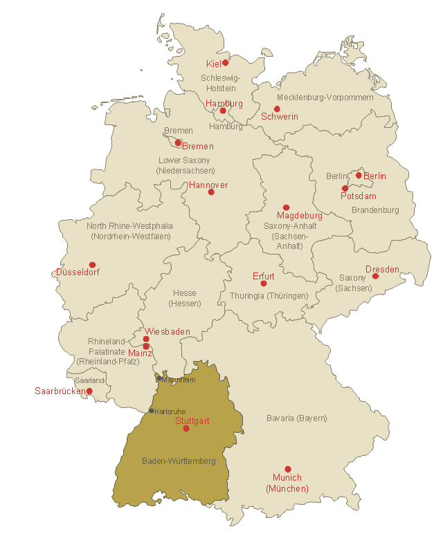
Map of Germany — Baden-Württemberg state
Despite the fact that the maps surround us everywhere in our life, usually the process of their drawing is sufficienly complex and labor-intensive. But now, thanks to the ConceptDraw DIAGRAM diagramming and vector drawing software extended with Germany Map Solution from the Maps Area of ConceptDraw Solution Park, we have the possibility to make easier this process. Design fast and easy your own pictorial maps of Germany, map of Germany with cities, and thematic Germany maps in ConceptDraw DIAGRAM!
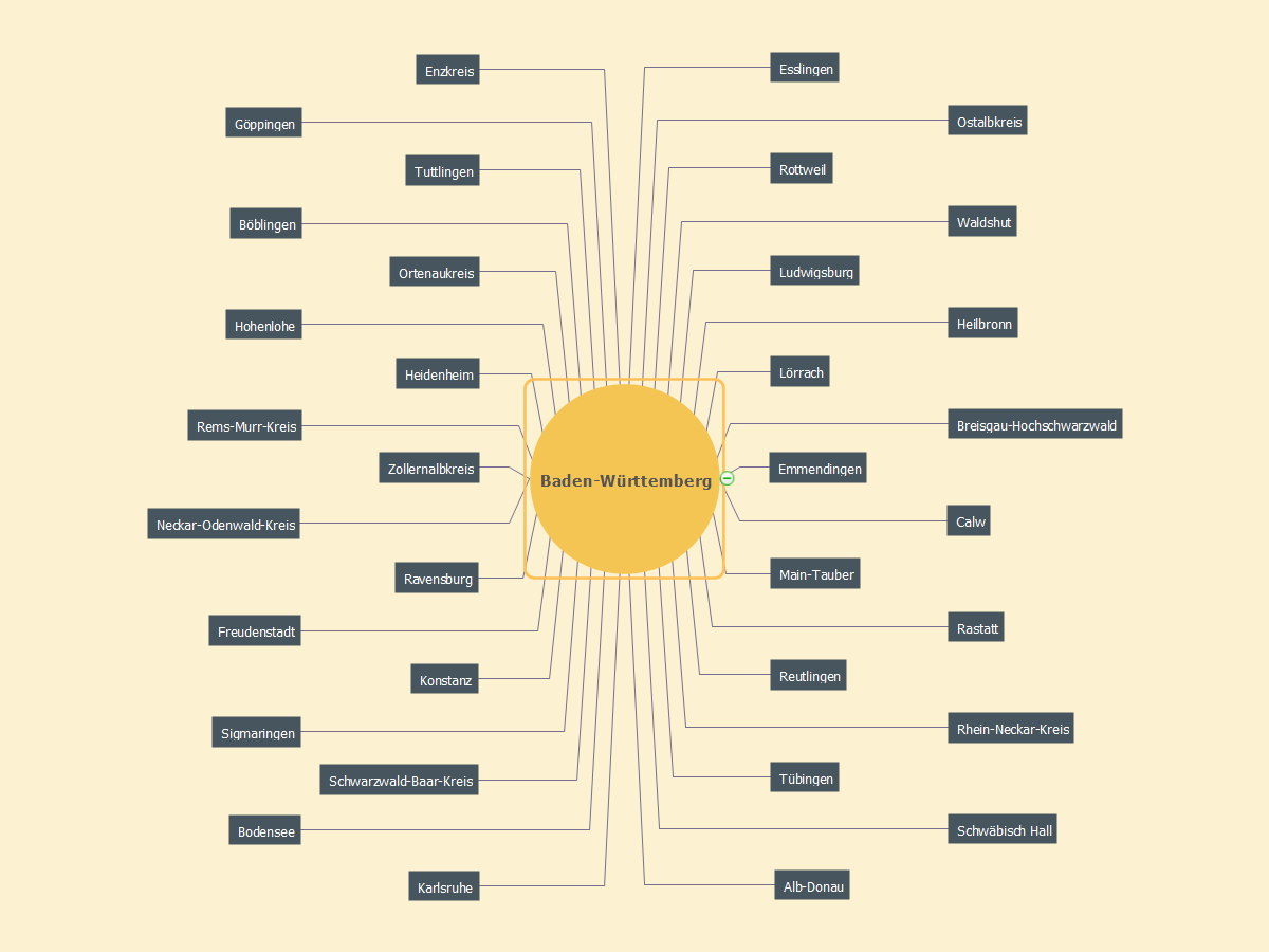
MindMap of Baden-Württemberg Districts
This template shows Baden-Württemberg location on the Germany federal states map with major cities.
Use it to design Germany political and thematic maps with ConceptDraw PRO software.
You can show or hide federal state borders and names, or capitals and major cities by map selecting and Action menu commands.
The template "Locator map of Baden-Württemberg" is included in the Map of Germany solution from the Maps area of ConceptDraw Solution Park.
Baden-Württemberg location on the Germany map
MindMap of Baden-Württemberg Cities
.png)
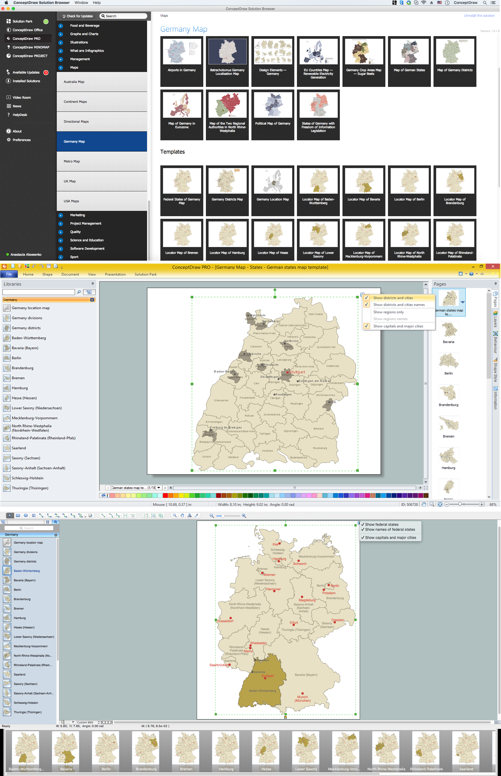
 Germany Map
The Germany Map solution contains collection of samples, templates and scalable vector stencil graphic maps, representing map of Germany and all 16 states of Germany. Use the Germany Map solution from ConceptDraw Solution Park as the base for various them
Geo Map - Europe - Austria

Geo Map - Europe - Switzerland

Map of Germany — Saarland State

Despite the fact that the maps surround us everywhere in our life, usually the process of their drawing is sufficienly complex and labor-intensive. But now, thanks to the ConceptDraw DIAGRAM diagramming and vector drawing software extended with Germany Map Solution from the Maps Area of ConceptDraw Solution Park, we have the possibility to make easier this process. Design fast and easy your own pictorial maps of Germany, map of Germany with cities, and thematic Germany maps in ConceptDraw DIAGRAM!
Geo Map - Europe - Norway

- Locator map of Baden - Württemberg - Template
- MindMap of Baden - Württemberg Districts | Map of Germany ...
- MindMap of Baden - Württemberg Districts | Geo Map - Asia | Geo ...
- Map Of East Germany With Cities
- Learn how to create a current state value stream map | Map of USA ...
- Sales Plan | How to Deliver Presentations using Mind Maps | Mind ...
- Germany Maps Design Vector Samples
- Map of Germany | Map of Germany — Saarland State | UK Map ...
- Vector Map of Germany | Maps of Germany With Cities | Map of ...
- Map of German states
- ERD | Entity Relationship Diagrams, ERD Software for Mac and Win
- Flowchart | Basic Flowchart Symbols and Meaning
- Flowchart | Flowchart Design - Symbols, Shapes, Stencils and Icons
- Flowchart | Flow Chart Symbols
- Electrical | Electrical Drawing - Wiring and Circuits Schematics
- Flowchart | Common Flowchart Symbols
- Flowchart | Common Flowchart Symbols