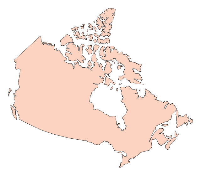
This political map of Canada exhibits its ten provinces and three territories, and their capitals.
"Canada is a country in North America consisting of 10 provinces and 3 territories. Located in the northern part of the continent, it extends from the Atlantic to the Pacific and northward into the Arctic Ocean. At 9.98 million square kilometers in total, Canada is the world's second-largest country by total area, and its common border with the United States is the world's longest land border shared by the same two countries." [Canada. Wikipedia]
This Canada political map was redesigned from Wikipedia file Map Canada political 2.png. [commons.wikimedia.org/ wiki/ File:Map_ Canada_ political_ 2.png]
The example "Canada political map" was created using the ConceptDraw PRO diagramming and vector drawing software extended with the Continent Maps solution from the Maps area of ConceptDraw Solution Park.
Political map - Canada

The vector stencils library "Canada" contains 15 map contours for drawing thematic maps of Canada. Use it for visual representation of geospatial information, statistics and quantitative data.
"The provinces and territories of Canada combine to make up the world's second-largest country by area. Originally three provinces of British North America, New Brunswick, Nova Scotia and the Province of Canada (which would become Ontario and Quebec) united to form the new nation. Since then, Canada's external borders have changed several times, and has grown from four initial provinces to ten provinces and three territories as of 1999. The ten provinces are Alberta, British Columbia, Manitoba, New Brunswick, Newfoundland and Labrador, Nova Scotia, Ontario, Prince Edward Island, Quebec, and Saskatchewan. The three territories are Northwest Territories, Nunavut, and Yukon." [Provinces and territories of Canada. Wikipedia]
The map contours example "Canada - Vector stencils library" was created using the ConceptDraw PRO diagramming and vector drawing software extended with the Continent Maps solution from the Maps area of ConceptDraw Solution Park.
Canada
Canada (color)
-canada---vector-stencils-library.png--diagram-flowchart-example.png)
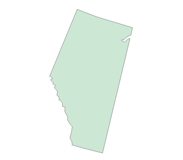
Alberta
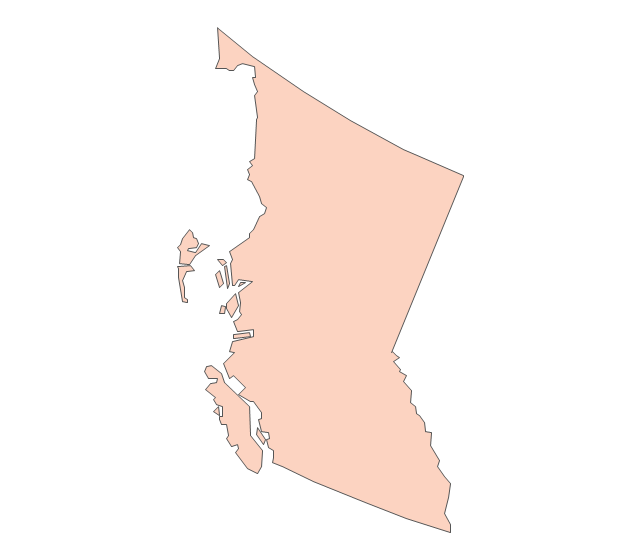
British Columbia
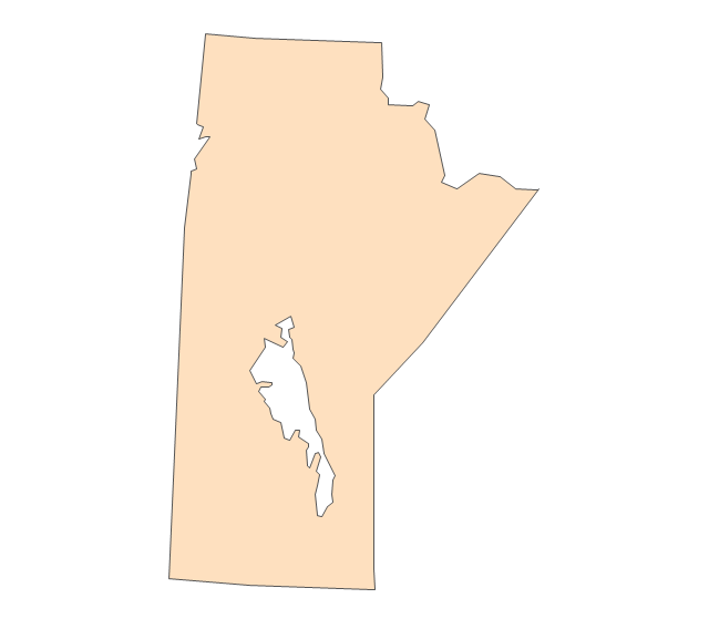
Manitoba
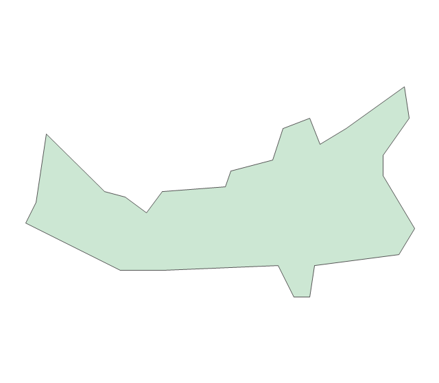
New Brunswick
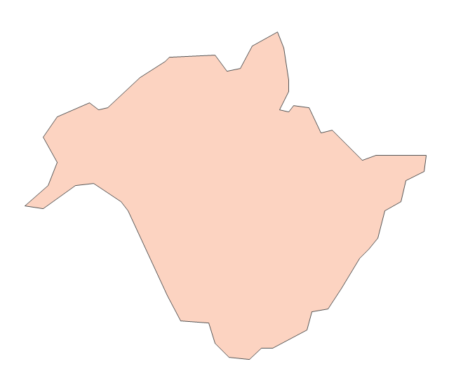
Newfoundland and Labrador
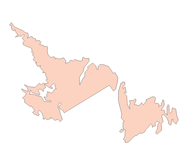
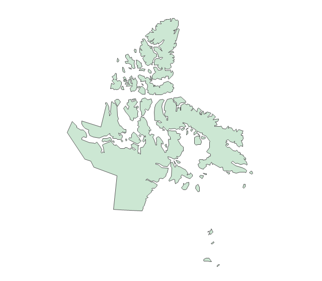
Northwest Territories
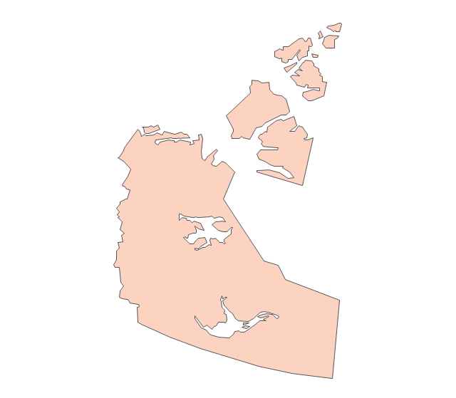
Nova Scotia
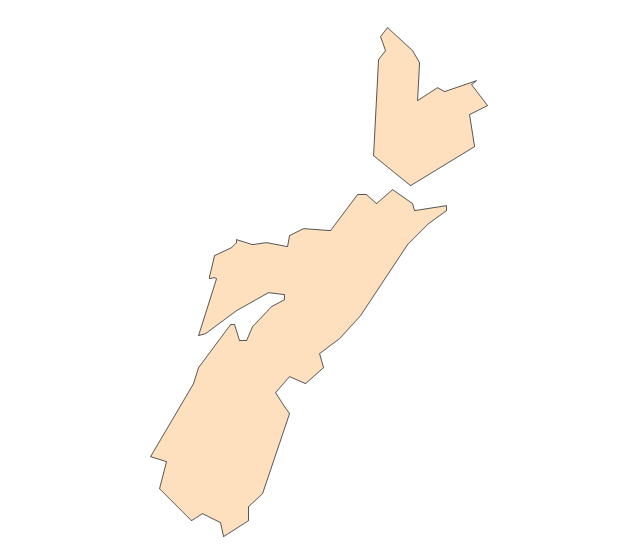
Nunavut
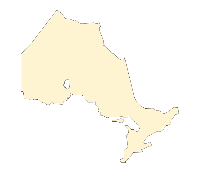
Ontario
Prince Edward Island
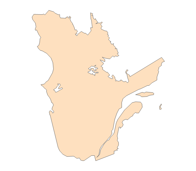
Quebec
Saskatchewan
Yukon
"The provinces and territories of Canada combine to make up the world's second-largest country by area. Originally three provinces of British North America, New Brunswick, Nova Scotia and the Province of Canada (which would become Ontario and Quebec) united to form the new nation. Since then, Canada's external borders have changed several times, and has grown from four initial provinces to ten provinces and three territories as of 1999. The ten provinces are Alberta, British Columbia, Manitoba, New Brunswick, Newfoundland and Labrador, Nova Scotia, Ontario, Prince Edward Island, Quebec, and Saskatchewan. The three territories are Northwest Territories, Nunavut, and Yukon." [Provinces and territories of Canada. Wikipedia]
This political map was redesigned from
Wikipedia file: Canada regions map.svg.
[commons.wikimedia.org/ wiki/ File:Canada_ regions_ map.svg]
The political map example "Canada regions" was created using ConceptDraw PRO diagramming and vector drawing software extended with Continent Maps solution from Maps area of ConceptDraw Solution Park.
Political map - Canada regions

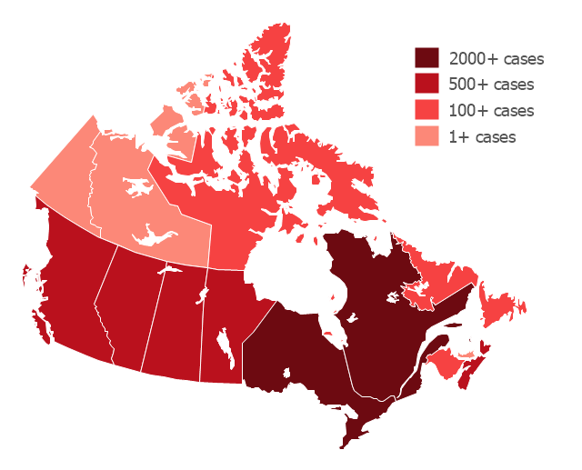
"The 2009 flu pandemic in Canada is part of an epidemic in 2009 of a new strain of influenza A virus subtype H1N1 causing what has been commonly called swine flu. In Canada, roughly 10% of the populace (or 3.5 million) has been infected with the virus, with 428 confirmed deaths (as of 20 February 2010); non-fatal individual cases are for the most part no longer being recorded. About 40% of Canadians have been immunized against H1N1 since a national vaccination campaign began in October, with Canada among the countries in the world leading in the percentage of the population that has been vaccinated." [2009 flu pandemic in Canada. Wikipedia]
This Canada thematic map example was redesigned using ConceptDraw PRO diagramming and vector drwing software from the Wikipedia file: H1N1 Canada Map by confirmed cases.svg.
[en.wikipedia.org/ wiki/ File:H1N1_ Canada_ Map_ by_ confirmed_ cases.svg]
This file is licensed under the Creative Commons Attribution-Share Alike 3.0 Unported license.
[creativecommons.org/ licenses/ by-sa/ 3.0/ deed.en]
This Canada thematic map example was created using ConceptDraw PRO diagramming and vector drawing software extended with Continent Maps solution from Maps area of ConceptDraw Solution Park.
Thematic map - Flu pandemic in Canada
The vector stencils library "Financial map Canada" contains 14 map contours of Canada.
"Canada's geography is divided into administrative divisions known as provinces and territories that are responsible for delivery of sub-national governance. ...
The ten provinces are Alberta, British Columbia, Manitoba, New Brunswick, Newfoundland and Labrador, Nova Scotia, Ontario, Prince Edward Island, Quebec, and Saskatchewan. Several of the provinces were former British colonies, and Quebec was originally a French colony, while others were added as Canada grew. The three territories are Northwest Territories, Nunavut, and Yukon, which govern the rest of the area of the former British North America." [Provinces and territories of Canada. Wikipedia]
Use it to design Canada thematic maps for your financial geospatial infographics.
Infographic elements
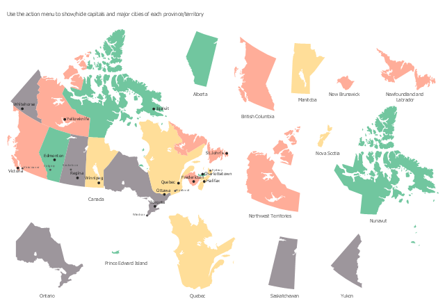
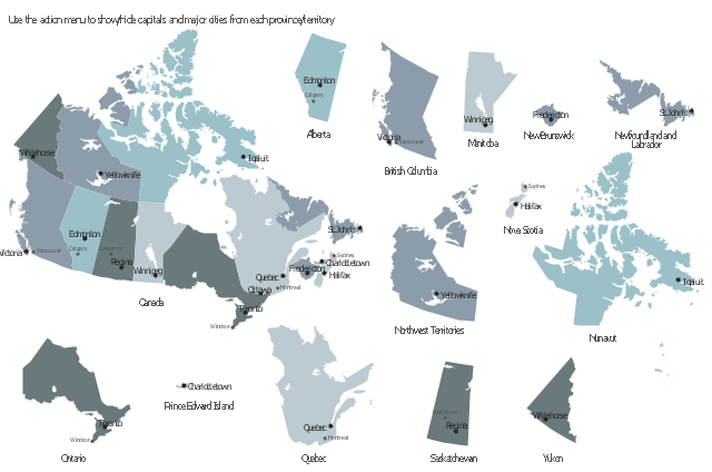
This sample displays state map contours with capitals and major cities of Canada provinces and territories. Use it to design your management infographics.
"The provinces and territories of Canada combine to make up the world's second-largest country by area. ... The ten provinces are Alberta, British Columbia, Manitoba, New Brunswick, Newfoundland and Labrador, Nova Scotia, Ontario, Prince Edward Island, Quebec, and Saskatchewan. The three territories are Northwest Territories, Nunavut, and Yukon." [Canada. Wikipedia]
The infogram shapes example "Design elements - Management map Canada" was created using the ConceptDraw PRO diagramming and vector drawing software extended with the Management Infographics solition from the area "Business Infographics" in ConceptDraw Solution Park.
Canada state map contours
A map showing European membership of the EU and NATO.
"The European Union (EU) is an economic and political union of 28 member states that are located primarily in Europe.
The EU operates through a system of supranational independent institutions and intergovernmental negotiated decisions by the member states. Institutions of the EU include the European Commission, the Council of the European Union, the European Council, the Court of Justice of the European Union, the European Central Bank, the Court of Auditors, and the European Parliament. The European Parliament is elected every five years by EU citizens. The EU's de facto capital is Brussels." [European Union. Wikipedia]
"The principal military alliance in Europe remains NATO, which includes 21 of all EU member states as well as other non-EU European countries, Turkey, the United States and Canada." [Military of the European Union. Wikipedia]
"The North Atlantic Treaty Organization (NATO), also called the (North) Atlantic Alliance, is an intergovernmental military alliance based on the North Atlantic Treaty which was signed on 4 April 1949. The organization constitutes a system of collective defence whereby its member states agree to mutual defense in response to an attack by any external party. NATO's headquarters are in Brussels, Belgium, one of the 28 member states across North America and Europe, the newest of which, Albania and Croatia, joined in April 2009." [NATO. Wikipedia]
This Europe map example was redesigned using the ConceptDraw PRO diagramming and vector drawing software from the Wikimedia Commons file: EU and NATO.svg.
[commons.wikimedia.org/ wiki/ File:EU_ and_ NATO.svg]
The Europe political map example "European membership of the EU and NATO map" is included in the Continent Maps solution from the Maps area of ConceptDraw Solution Park.
Political map - EU and NATO

- Map Of Canada Wikipedia
- Canada Political Map Wiki
- Canada Thematic Map
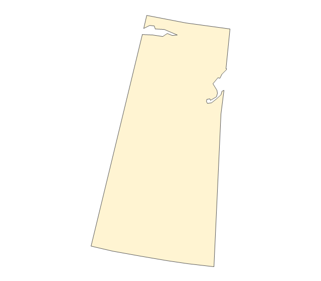
- Geo Map - Canada - Yukon
- Canada - Vector stencils library | Management map Canada - Vector ...
- Canada - Vector stencils library
- Vector Map Of Canada's 10 Provinces And 3 Territories
- Canada political map | Pince Png
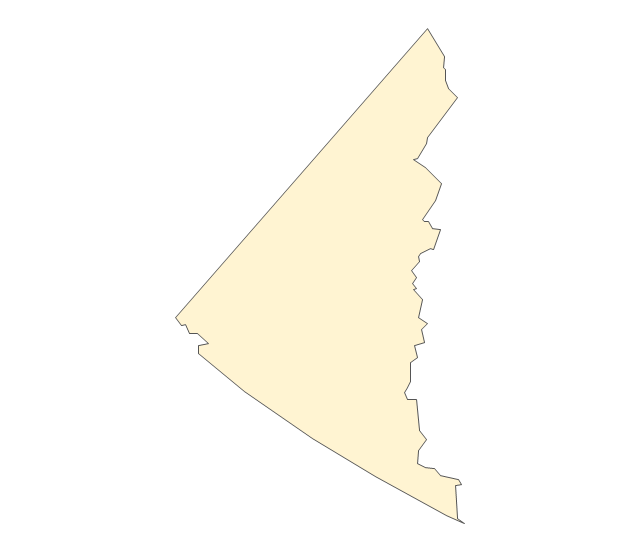
- Geo Map - Canada - Quebec | Geo Map - USA - Maine | Canada ...
- Map of USA with state names | Benefit Corporation legislation ...
- ERD | Entity Relationship Diagrams, ERD Software for Mac and Win
- Flowchart | Basic Flowchart Symbols and Meaning
- Flowchart | Flowchart Design - Symbols, Shapes, Stencils and Icons
- Flowchart | Flow Chart Symbols
- Electrical | Electrical Drawing - Wiring and Circuits Schematics
- Flowchart | Common Flowchart Symbols
- Flowchart | Common Flowchart Symbols