Export from ConceptDraw PRO Document to a Graphic File


The vector stencils library "Travel and tourism pictograms" contains 20 travelling and journey symbols.
Use it to draw your tour and trip infograms. The example "Travel and tourism pictograms - Vector stencils library" was created using the ConceptDraw PRO diagramming and vector drawing software extended with the Pictorial infographics solution from the area "What is infographics" in ConceptDraw Solution Park.
Use it to draw your tour and trip infograms. The example "Travel and tourism pictograms - Vector stencils library" was created using the ConceptDraw PRO diagramming and vector drawing software extended with the Pictorial infographics solution from the area "What is infographics" in ConceptDraw Solution Park.
Globe

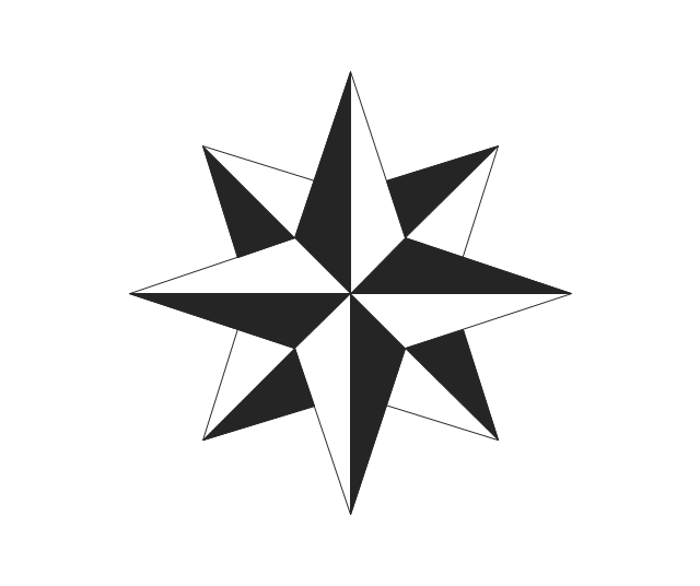
Wind rose
Direction

Sign

Milestone

Flag

Campground

Tent

RV

Restaurant

Restrooms

Passport

Plane

Ticket

Briefcase

Case

Luggage

Mountains

Palm

Hotel

Geo Map - World

2014 FIFA World Cup

The vector stencils library "Education pictograms" contains 128 education pictograms. Use this flat icon set to design your educational infogram in ConceptDraw PRO diagramming and vector drawing software.
The vector stencils library "Education pictograms" is included in the Education Infographics solution from the Business Infographics area of ConceptDraw Solution Park.
The vector stencils library "Education pictograms" is included in the Education Infographics solution from the Business Infographics area of ConceptDraw Solution Park.
ABC

Apple

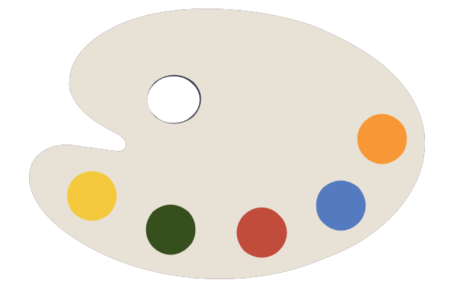
Artist oil colors

Artists paint palette
Atom

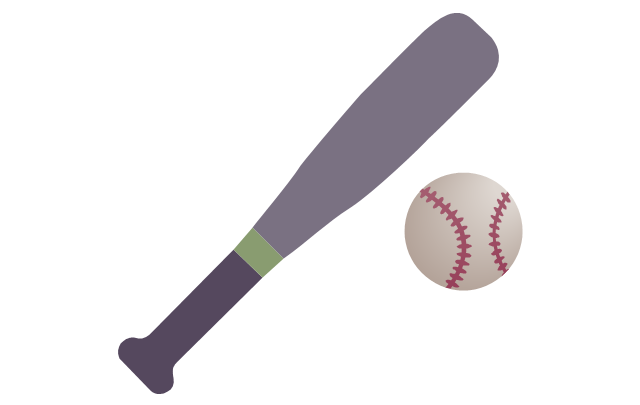
Baseball
Basketball

Beaker

Bell

Bicycle

Book - open

Books

Brushes

Bunsen burner

Calculator

Calendar

CD

Cell model

Chemical flask

Cloud

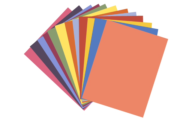
Colored paper
Colored pencils
Compass
Compasses

Dinosaur skeleton
Diploma

DNA double helix

Drop

Dumbbells

Earth

Earth's internal structure

Easel
Email

Eraser

Exercise book

Felt tip pens

Folders

Football

Funnel

Gears

Globe

Gouache

Graduation cap

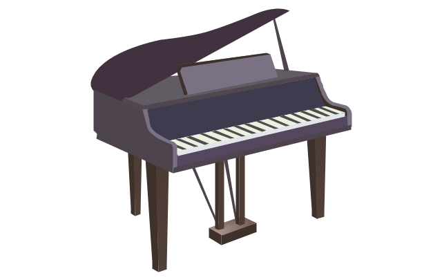
Grand piano

Grand piano - clipart
Green blackboard

Hourglass

Laptop

Laptop mouse

Light bulb

Magnet

Magnifier

Marker - black

Marker - blue

Marker - green

Marker - red

Marker - white

Marker - yellow

Medal with ribbon

Metronome

Microscope

Moon

Music notes

Notebook

Notepad

Paper clips

Paper sheet

Paper sheet - grid

Paper sheet - lined

Paper stickers

Parthenon

Pen

Pen - fountain

Pencil

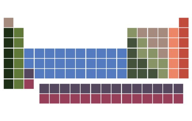
Periodic table
Protractor

Push pins

Robot

Round bottom flask

Rugby ball

Ruler

Scales

School backpack

School bus

School satchel

Schoolboy - african

Schoolboy - asian

Schoolboy - caucasian

Schoolboy - indian

Schoolgirl - african

Schoolgirl - asian

Schoolgirl - caucasian

Schoolgirl - indian

Scissors and a bottle of glue

Scroll

Snowflake

Sport cup

Star

Stickers
Stopwatch

Sun

Tablet computer

Teacher with a pointer

Teacher - african

Teacher - asian

Teacher - caucasian

Teacher - indian

Teacher - woman, african

Teacher - woman, asian

Teacher - woman, caucasian

Teacher - woman, indian

Telescope

Test tube

Thermometer

To-Do list

Tree leaf - acacia

Tree leaf - birch

Tree leaf - chestnut

Tree leaf - maple

Tree leaf - oak

Tree leaf - walnut

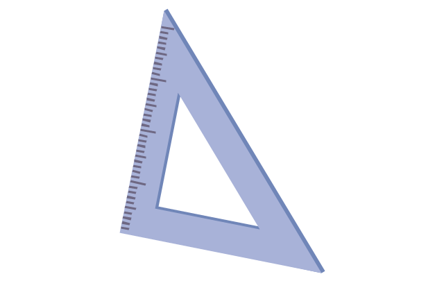
Triangle ruler
Volleyball

Violin
Violin - clipart

Wall clock

Watercolor set
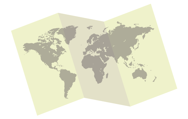
World map
Geo Map of Americas

Geo Mapping Software Examples - World Map Outline

Map of Continents

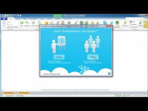
How to Collaborate in Business via Skype

Types of Map - Overview

Geo Map - USA - Hawaii

Process Flow Diagram Symbols

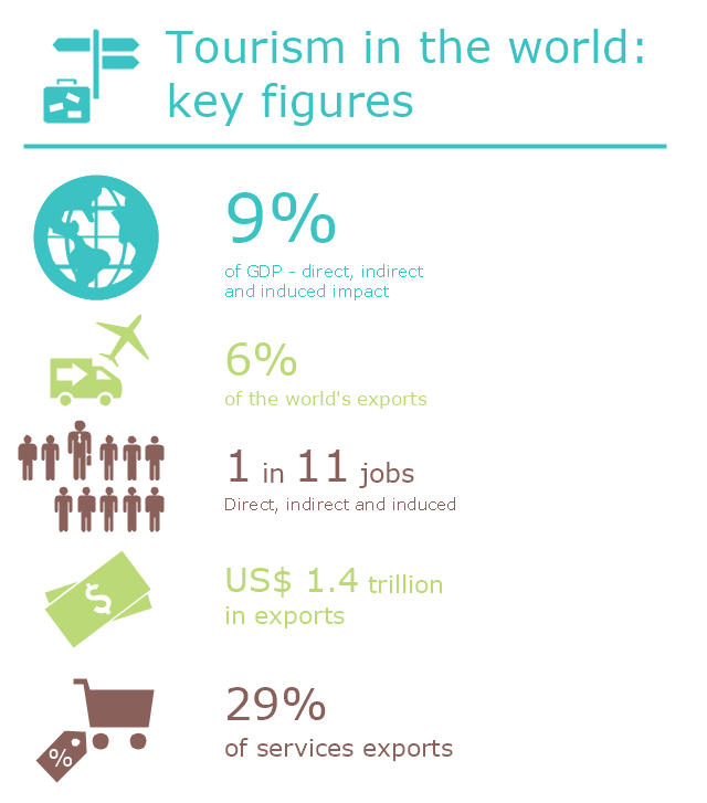
This infogram sample was created on the base of "UNWTO Tourism Highlights, 2014 Edition (World Tourism Organization UNWTO)". [dtxtq4w60xqpw.cloudfront.net/ sites/ all/ files/ pdf/ unwto_ highlights14_ en_ hr.pdf]
The infographics example "Tourism in the world: key figures" was created using the ConceptDraw PRO diagramming and vector drawing software extended with the Pictorial Infographic solition from the area "What is infographics" in ConceptDraw Solution Park.
The infographics example "Tourism in the world: key figures" was created using the ConceptDraw PRO diagramming and vector drawing software extended with the Pictorial Infographic solition from the area "What is infographics" in ConceptDraw Solution Park.
Pictorial infogram
Geo Map Software

The vector stencils library "School layout" contains 19 symbols of school furniture and educational equipment. Use these shapes for drawing layout floor plans of school classrooms, universiry lecture halls and auditories, training offices in he ConceptDraw PRO diagramming and vector drawing software extended with the School and Training Plans solution from the Building Plans area of ConceptDraw Solution Park.
Single Desk

Double Desk

Student Desk

Student Desk - Group of 2
Student Desk - Group of 4
Lecture Hall Desk
Chair
Curved Back Chair
Teacher's Desk
Bookcase

Podium
Semi-circular Table
Chalkboard

Portable Chalkboard

Screen
Locker
Bank of 5 Lockers
Globe

Papers

- Africa In World Globe Png
- Geo Mapping Software Examples - World Map Outline | Geo Map ...
- Argentina Map Outline Png
- Portugal Png Outline
- World Png
- Pictograms Water Png
- Wind Png Icons
- Earth Logo Vector Png
- Globe Flat Icon
- Png Wind Directions
- Dinner Plate Vector Png
- Nuclear Plant Icon Png
- Romanian Map Png
- Romania Trip Map Png
- Luggage Vector Png
- Travelling Vector Clipart Png
- Latvia Png
- Education pictograms - Vector stencils library | Bus Flat Design Png
- Tourist Vector Png
- Wind Turbines Png