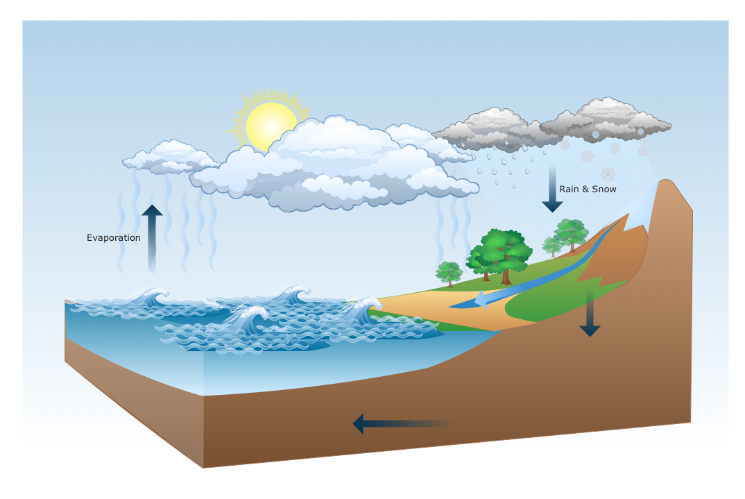
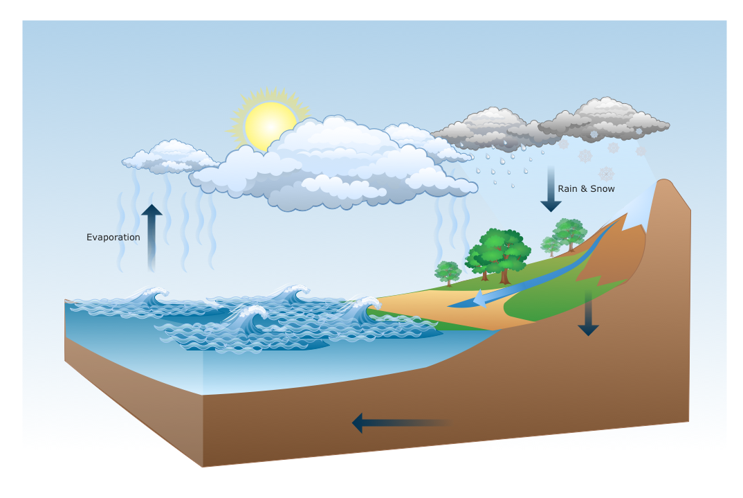
How can you illustrate the weather condition
Use it to make professional looking documents, presentations, and websites illustrated with color scalable vector clipart for geography, weather, and animals.Beauty in nature Illustrations and Clipart
Nature solution expands our software possibilities to create beautiful illustrations and cliparts with the new library which contains 17 vector objects.Nature Clipart and Illustrations
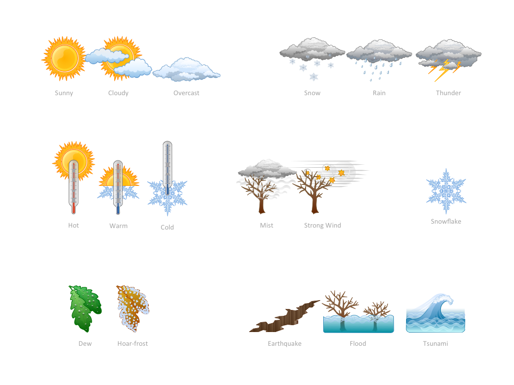
ConceptDraw PRO is a vector design software, it includes numerous vector stencils. Weather vector clipart library for ConceptDraw PRO allows the user to produce professional-looking illustrations in seconds.Nature Drawings - How to Draw
Nature solution expands this software possibilities to create beautiful illustrations diagrams with the new library which contains 17 vector objects.The vector stencils library "Asia" contains 57 Asian state map contours for drawing thematic and political maps of Asia. Use it for visual representation of geospatial information, statistics and quantitative data.
"Asia is the Earth's largest and most populous continent, located primarily in the eastern and northern hemispheres. ... Countries: 49 (and 5 disputed)." [Asia. Wikipedia]
The state map contours example "Asia - Vector stencils library" was created using the ConceptDraw PRO diagramming and vector drawing software extended with the Continent Maps solution from the Maps area of ConceptDraw Solution Park.
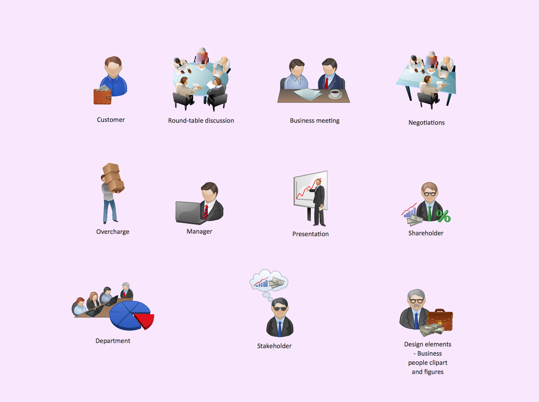
Business People Clipart
Business People Clipart - Business and Finance solution from Illustration area of ConceptDraw Solution Park. Use it to quick draw illustrations, diagrams and infographics for your business documents, presentations and websites. The vector stencils library Business People Clipart includes 12 images.Work Flow Chart
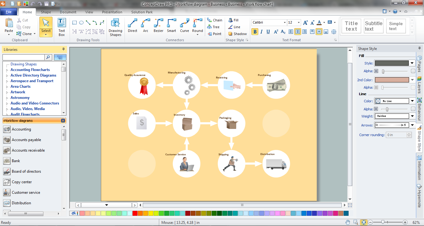
What is a Work Flow Chart? It is a chart which visually displays the step-by-step transferring of data, documents and tasks during the work. ConceptDraw PRO extended with Workflow Diagrams solution from the Business Processes area of ConceptDraw Solution Park is the best software for drawing the Work Flow Chart of any complexity.Clipart School
Use it to make professional looking documents, presentations, and websites illustrated with color scalable vector clipart for geography, weather, and animals.Workflow Diagram Software
ConceptDraw PRO is a powerful diagramming and vector drawing software. Extended with Workflow Diagrams solution from the Business Processes area, ConceptDraw PRO became the ideal Workflow Diagram Software.
 Nature
This solution extends ConceptDraw PRO software with samples, templates and libraries of vector clipart for drawing the Nature illustrations. Use it to make professional-looking documents, presentations and websites illustrated with color scalable vector c
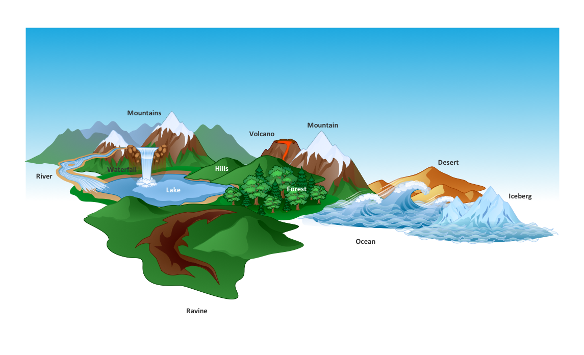
How to Draw a Natural Landscape
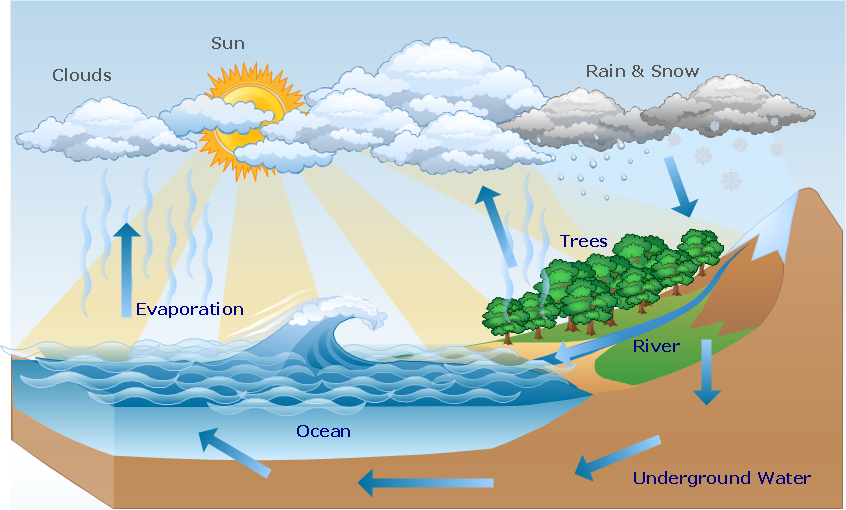
Nature solution expands ConceptDraw PRO software with samples, templates and libraries of vector clip art for drawing of Nature illustrations. Use Geography library of vector stencils to draw natural landscapes.Drawing Illustration
The Nature Solution addition to ConceptDraw Solution Park for ConceptDraw PRO includes new libraries that provide a wide range nature objects and it can be used in many areas.Geo Map - Europe - Czech Republic
The vector stencils library Czech Republic contains contours for ConceptDraw PRO diagramming and vector drawing software. This library is contained in the Continent Maps solution from Maps area of ConceptDraw Solution Park.Drawing a Nature Scene
ConceptDraw PRO is a drawings software for creating Nature scenes. Nature solution from ConceptDraw Solution Park expands this software with a new library that contains 17 vector objects and samples illustration files.Geo Map - Europe - Macedonia
The vector stencils library Macedonia contains contours for ConceptDraw PRO diagramming and vector drawing software. This library is contained in the Continent Maps solution from Maps area of ConceptDraw Solution Park.- Weather - Vector stencils library | Thunder And Sun Png
- Weather Station Png Vector
- Earthquake disaster assessment - Workflow diagram | Weather ...
- Weather - Vector stencils library | Design elements - Weather ...
- Icon Videos Iphone 6 Png
- Earthquake disaster assessment - Workflow diagram | Weather ...
- Weather - Vector stencils library | Christmas and New Year - Vector ...
- Weather App Icons Ios Png
- Food security assessment - Flowchart | Weather - Vector stencils ...
- Reminders - Template | iPhone User Interface | App icons - Vector ...
- Music Png Icon For Ios9
- Ios 9 Clock Icon Png
- App icons - Vector stencils library
- Icon Music Ios 9 Png
- Ios9 Settings Png Icons
- Graphical User Interface | App icons - Vector stencils library | iPhone ...
- App icons - Vector stencils library | iPhone User Interface | Design ...
- App icons - Vector stencils library | Reminders - Template | iPhone ...
- Ios Icon Png
- App icons - Vector stencils library | Iphone Nots Icon Png


-asia---vector-stencils-library.png--diagram-flowchart-example.png)


-asia---vector-stencils-library.png--diagram-flowchart-example.png)


