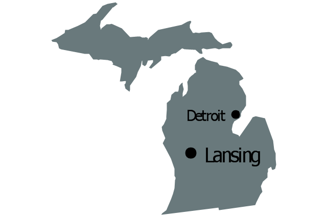
Geo Map — USA — Michigan

The vector stencils library Michigan contains contours for ConceptDraw DIAGRAM diagramming and vector drawing software. This library is contained in the Continent Maps solution from Maps area of ConceptDraw Solution Park.
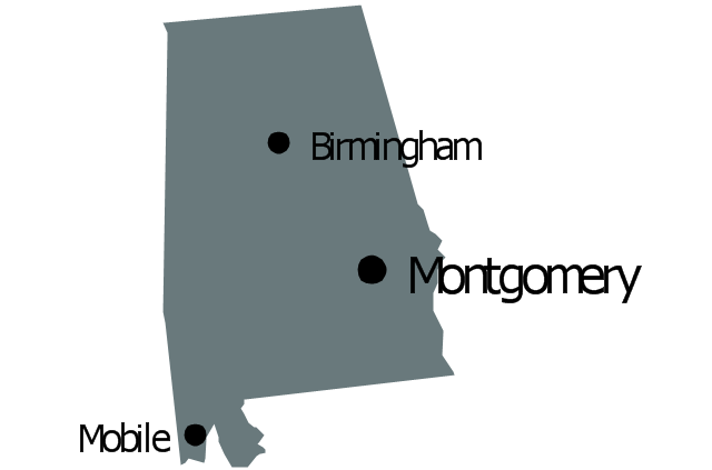
Geo Map - USA - Alabama

The vector stencils library Alabama contains contours for ConceptDraw DIAGRAM diagramming and vector drawing software. This library is contained in the Continent Maps solution from Maps area of ConceptDraw Solution Park.
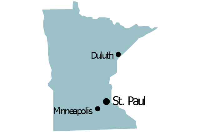
Geo Map - USA - Minnesota

The vector stencils library Minnesota contains contours for ConceptDraw DIAGRAM diagramming and vector drawing software. This library is contained in the Continent Maps solution from Maps area of ConceptDraw Solution Park.
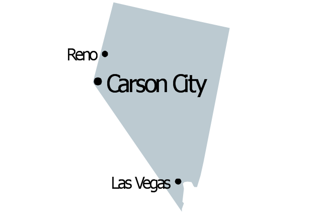
Geo Map - USA - Nevada

The vector stencils library Nevada contains contours for ConceptDraw DIAGRAM diagramming and vector drawing software. This library is contained in the Continent Maps solution from Maps area of ConceptDraw Solution Park.
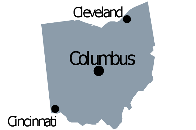
Geo Map - USA - Ohio

The vector stencils library Ohio contains contours for ConceptDraw DIAGRAM diagramming and vector drawing software. This library is contained in the Continent Maps solution from Maps area of ConceptDraw Solution Park.
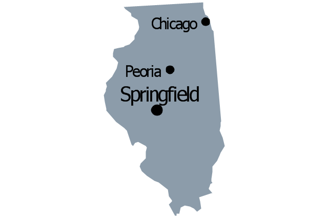
Geo Map - USA - Illinois

The vector stencils library Illinois contains contours for ConceptDraw DIAGRAM diagramming and vector drawing software. This library is contained in the Continent Maps solution from Maps area of ConceptDraw Solution Park.
Geo Map — USA — Oklahoma

The vector stencils library Oklahoma contains contours for ConceptDraw DIAGRAM diagramming and vector drawing software. This library is contained in the Continent Maps solution from Maps area of ConceptDraw Solution Park.
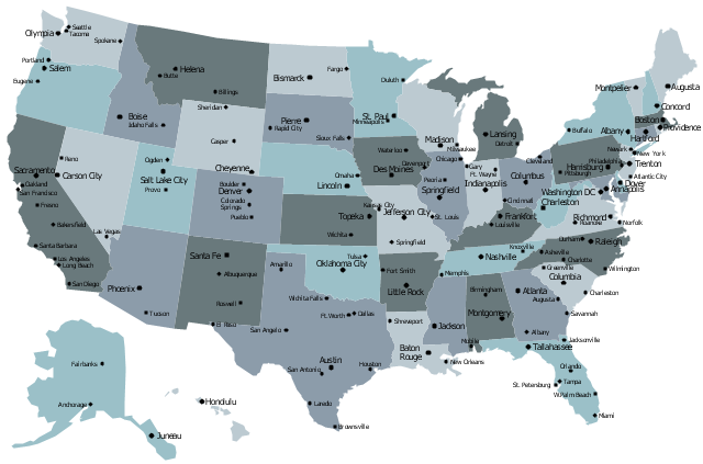
The vector stencils library "Management map US" contains 51 state map contours of US.
Use it to create your management infogram in the ConceptDraw PRO diagramming and vector drawing software.
The state map contours example "Management map US - Vector stencils library" is included in the solution "Marketing infographics" from the "Business infographics" area of ConceptDraw Solution Park.
United States of America
Alabama
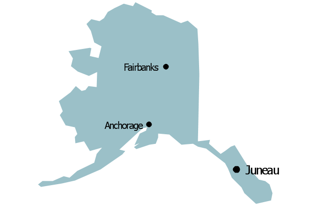
Alaska
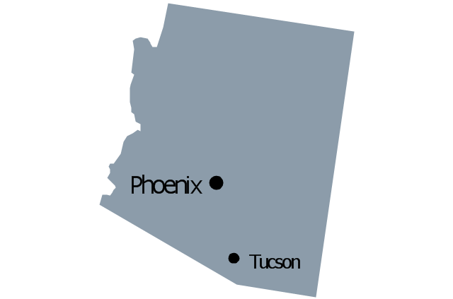
Arizona
Arkansas

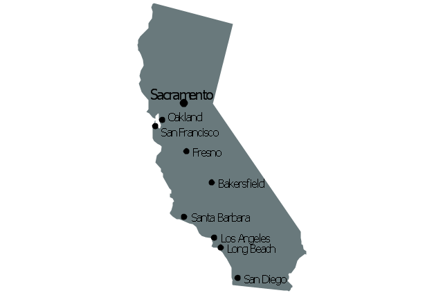
California
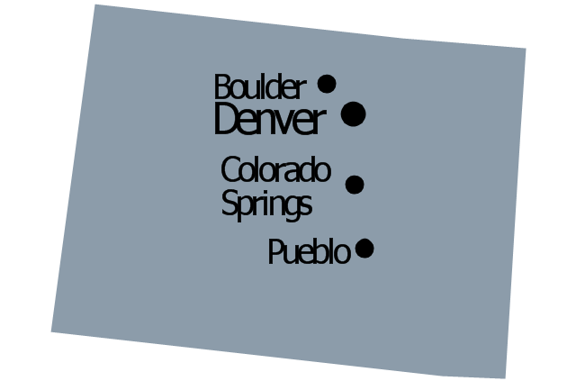
Colorado
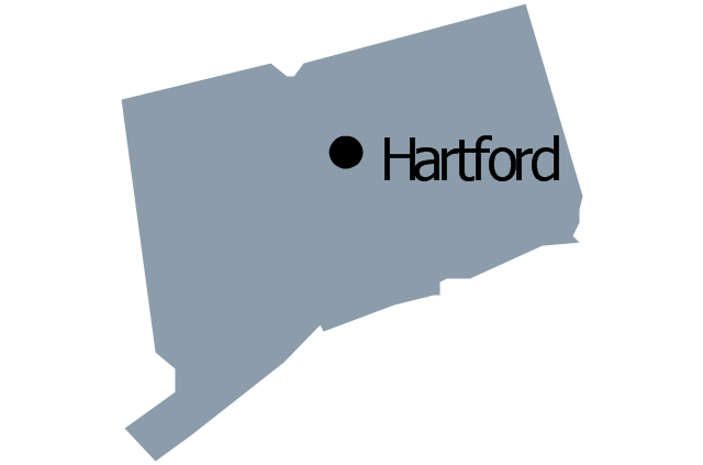
Connecticut
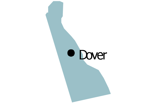
Delaware
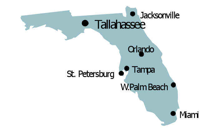
Florida
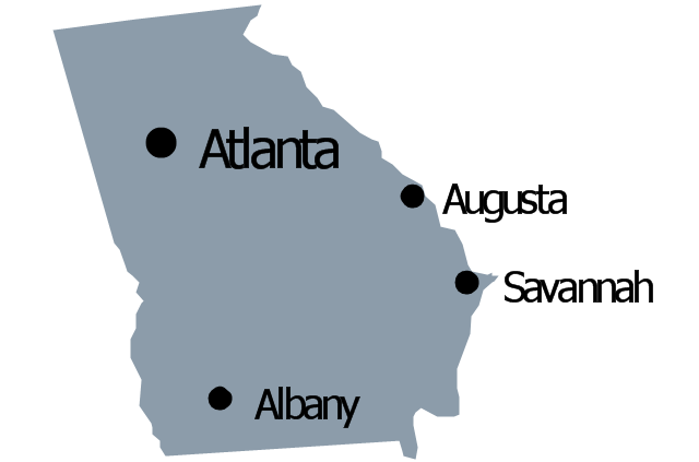
Georgia
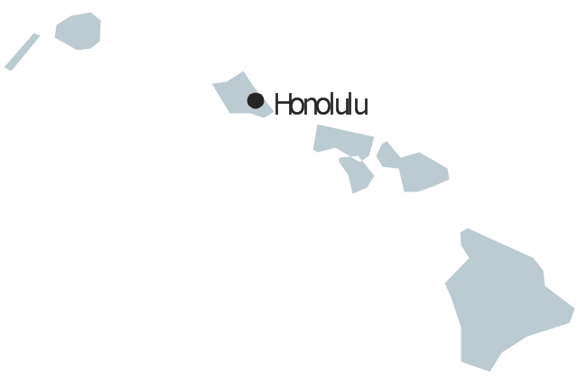
Hawaii
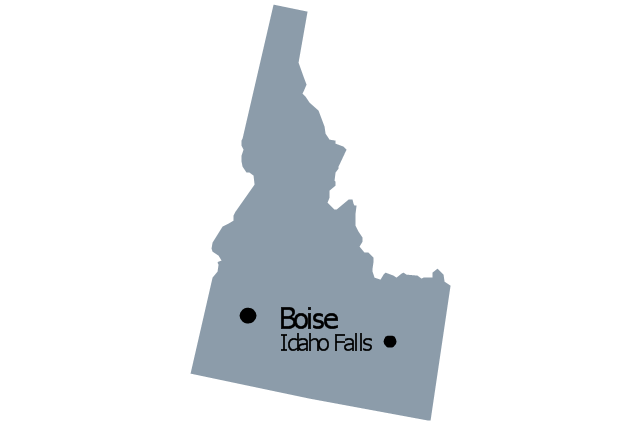
Idaho
Illinois
Indiana

Iowa

Kansas

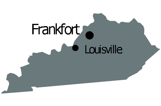
Kentucky
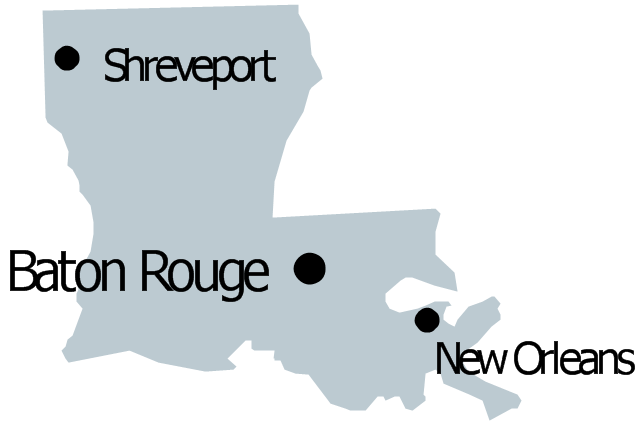
Louisiana
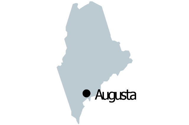
Maine
Maryland

Massachusetts

Michigan
Minnesota
Mississippi
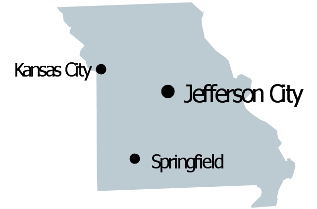
Missouri
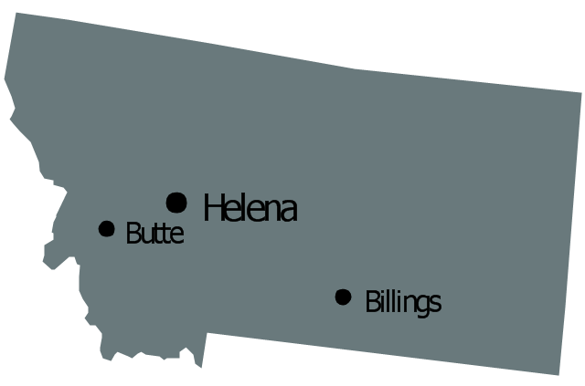
Montana
Nebraska

Nevada
New Hampshire

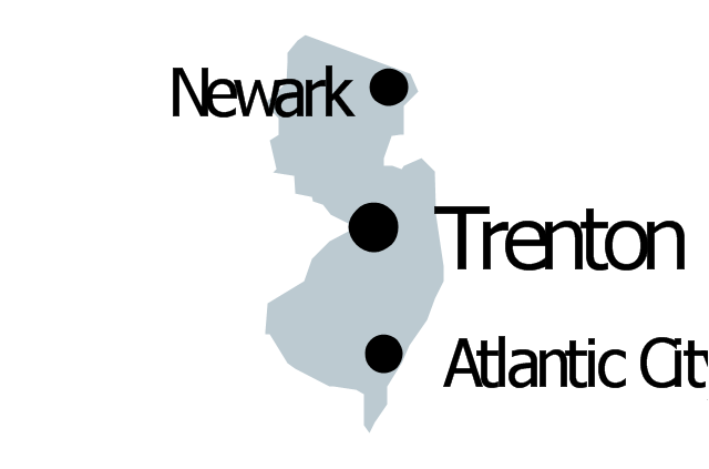
New Jersey
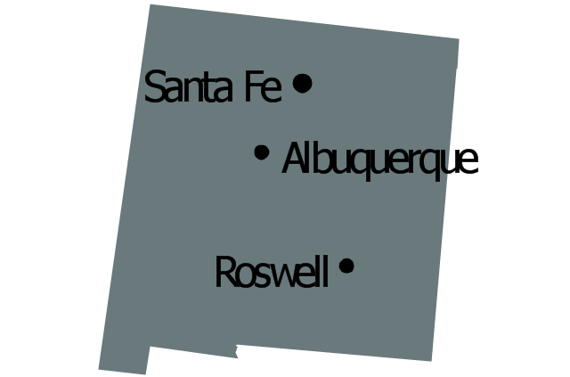
New Mexico
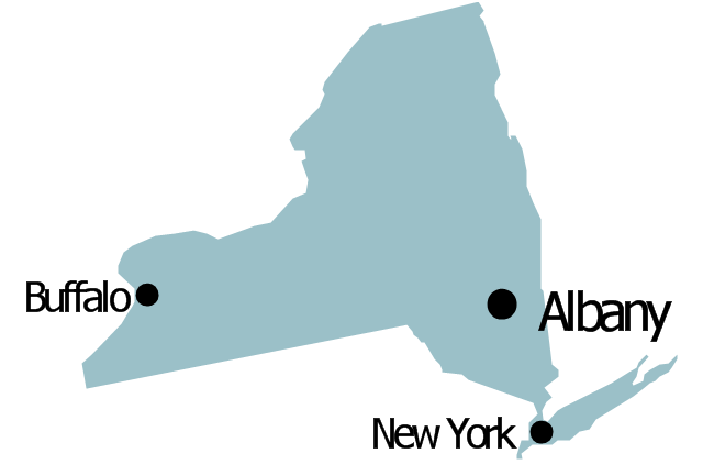
New York
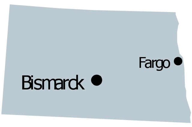
North Dakota
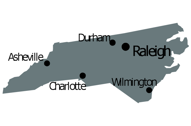
North Carolina
Ohio
Oklahoma

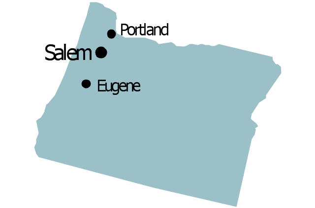
Oregon
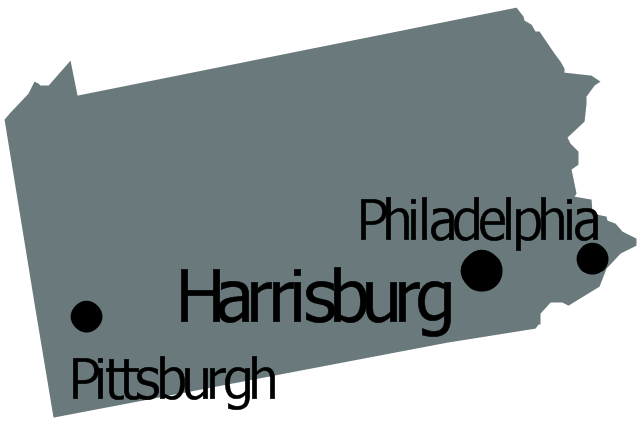
Pennsylvania
Rhode Island

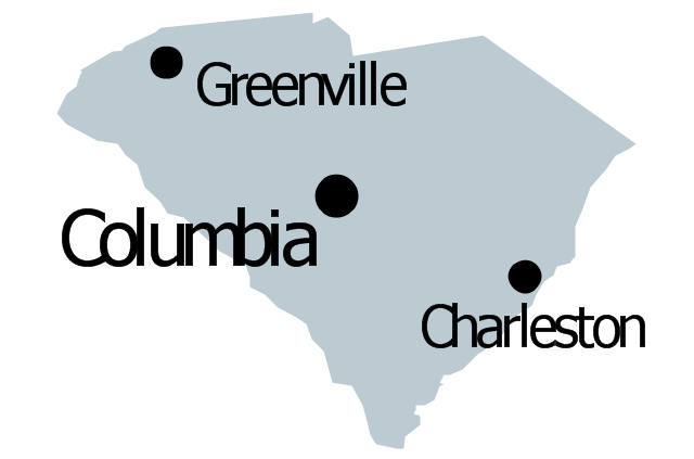
South Carolina
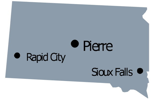
South Dakota
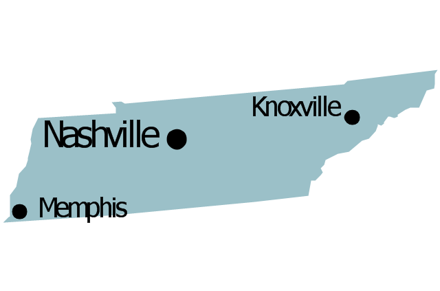
Tennessee
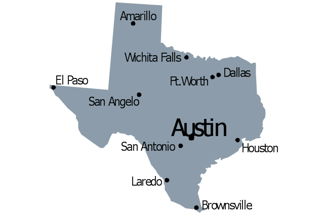
Texas
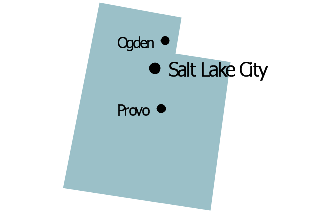
Utah
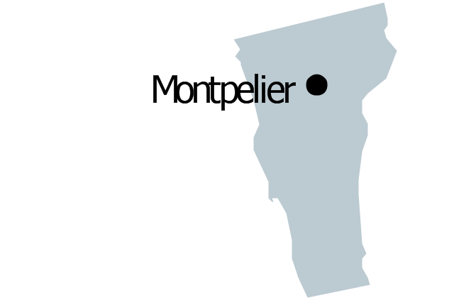
Vermont
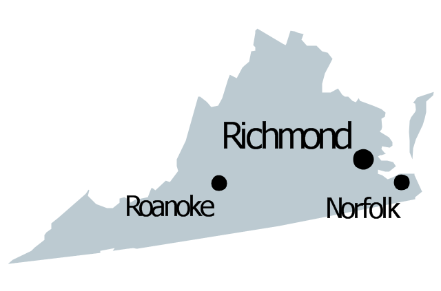
Virginia
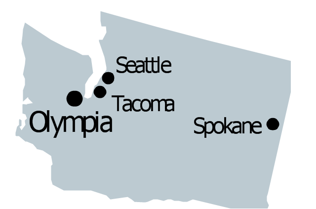
Washington
West Virginia

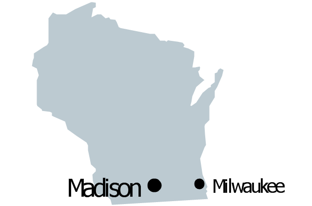
Wisconsin
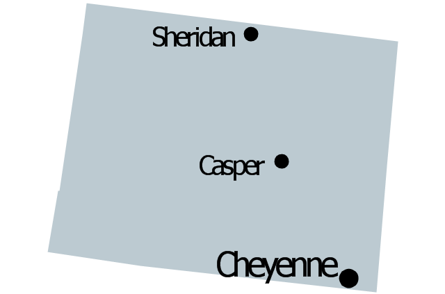
Wyoming
Maps of Germany With Cities

Geo Map - Canada - Manitoba

The vector stencils library Manitoba contains contours for ConceptDraw DIAGRAM diagramming and vector drawing software. This library is contained in the Continent Maps solution from Maps area of ConceptDraw Solution Park.
- Management map US - Vector stencils library
- Geo Map - United States of America Map | Geo Map - USA ...
- Oklahoma Map Of Us
- Geo Map - USA - Ohio | Geo Map - USA - Michigan | Geo Map - USA ...
- Geo Map — USA — Michigan | Geo Map — Europe — Spain | Geo ...
- Geo Map - United States of America Map | USA Maps | LLNL Flow ...
- Geo Map - USA - Minnesota | Minnesota measures - Infogram ...
- Diagram Of Usa States Map
- Map Of United States With State Names
- Management map US - Vector stencils library | Management map ...
- ERD | Entity Relationship Diagrams, ERD Software for Mac and Win
- Flowchart | Basic Flowchart Symbols and Meaning
- Flowchart | Flowchart Design - Symbols, Shapes, Stencils and Icons
- Flowchart | Flow Chart Symbols
- Electrical | Electrical Drawing - Wiring and Circuits Schematics
- Flowchart | Common Flowchart Symbols
- Flowchart | Common Flowchart Symbols