This site uses cookies. By continuing to browse the ConceptDraw site you are agreeing to our Use of Site Cookies.
Use this template of South America map with contours of South American countries, capitals and main cities to design your political or thematic map. This South America map template for the ConceptDraw PRO diagramming and vector drawing software is included in the Continent Maps solution from the Maps area of ConceptDraw Solution Park.
South America map
South America map, South America, South America map, North,
Used Solutions

Geo Map - South America - Paraguay

Paraguay, officially the Republic of Paraguay, is a landlocked country in South America, bordered by Argentina to the south and southwest, Brazil to the east and northeast, and Bolivia to the northwest.
The vector stencils library Paraguay contains contours for ConceptDraw DIAGRAM diagramming and vector drawing software. This library is contained in the Continent Maps solution from Maps area of ConceptDraw Solution Park.

Geo Map — South America — Peru

Peru, officially the Republic of Peru, is a country in western South America.
The history of Peru goes back to the distant past and its divided into several main stages. Geography of Peru is also diverse - there is a desert, as well as the ocean coast, and of course the mountain ranges.
The Continent Maps solution from Maps area of ConceptDraw Solution Park provides stencil library Peru, which is made up of well-designed vector shapes delivering easy experience in creating diagrams with ConceptDraw DIAGRAM software.
All ConceptDraw DIAGRAM documents are vector graphic files and are available for reviewing, modifying, and converting to a variety of formats: image, HTML, PDF file, MS PowerPoint Presentation, Adobe Flash, MS Visio (.VDX,.VSDX).

Geo Map - Asia - Philippines

The Philippines, officially known as the Republic of the Philippines, is a sovereign island country in Southeast Asia situated in the western Pacific Ocean.
Use the Continent Maps solution and Philippines library to draw thematic maps, geospatial infographics and vector illustrations. This solution to help visualize the business and thematic information connected with geographic areas, locations or customs; for your business documents, presentations and websites.

Geo Map — Europe — Germany

The vector stencils library Germany contains contours for ConceptDraw DIAGRAM diagramming and vector drawing software. This library is contained in the Continent Maps solution from Maps area of ConceptDraw Solution Park.

Continents Map

Designing of Continents Map is a quite complex and labour-intensive process. But now we have a way to make it easier - ConceptDraw DIAGRAM diagramming and vector drawing software extended with useful drawing tools of Continent Maps Solution from the Maps Area.

Geo Map — United States of America Map

United States is a federal republic consisting of 50 states and a federal district.
ConceptDraw is idea to draw the geological map of the United States of America from the pre-designed vector geo map shapes.
Each map is scaled, with the option to add further levels of detail - county borders, their names, capitals and major cities can be shown or hidden using the action menu for each state map. ConceptDraw DIAGRAM gives you full control over map size, shading, color fills and alignment.
Use the Continent Maps solution for easy drawing professional looking geological maps, thematic maps, geospatial infographics and vector illustrations for your business documents, presentations and websites.

Geo Map - USA - Nevada

Nevada is a state in the western, mountain west, and southwestern regions of the United States.
The vector stencils library Nevada contains contours for ConceptDraw DIAGRAM diagramming and vector drawing software. This library is contained in the Continent Maps solution from Maps area of ConceptDraw Solution Park.

Geo Map — USA — Florida

Florida is a state in the southeastern region of the United States, bordered to the west by the Gulf of Mexico, to the north by Alabama and Georgia, to the east by the Atlantic Ocean, and to the south by the Straits of Florida.
The vector stencils library Florida contains contours for ConceptDraw DIAGRAM diagramming and vector drawing software. This library is contained in the Continent Maps solution from Maps area of ConceptDraw Solution Park.

Geo Map - USA - Ohio

Ohio is a state in the Midwestern United States.
The vector stencils library Ohio contains contours for ConceptDraw DIAGRAM diagramming and vector drawing software. This library is contained in the Continent Maps solution from Maps area of ConceptDraw Solution Park.

Map of USA States

How to design USA map fast and easy? It is convenient to use special software. ConceptDraw DIAGRAM diagramming and vector drawing software includes the USA Maps Solution which was specially developed to make easier drawing process of USA Maps, Map of USA States, various USA thematic maps and cartograms.

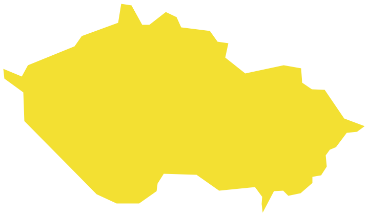
Geo Map - Europe - Czech Republic

The vector stencils library Czech Republic contains contours for ConceptDraw DIAGRAM diagramming and vector drawing software. This library is contained in the Continent Maps solution from Maps area of ConceptDraw Solution Park.

Geo Map - USA - Missouri

Missouri (see pronunciations) is a U.S. state located in the Midwestern United States.
The vector stencils library Missouri contains contours for ConceptDraw DIAGRAM diagramming and vector drawing software. This library is contained in the Continent Maps solution from Maps area of ConceptDraw Solution Park.

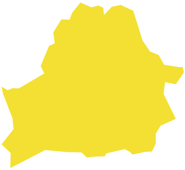
Geo Map - Europe - Belarus

The vector stencils library Belarus contains contours for ConceptDraw DIAGRAM diagramming and vector drawing software. This library is contained in the Continent Maps solution from Maps area of ConceptDraw Solution Park.

Geo Map - Canada - Saskatchewan

Saskatchewan is a prairie province in Canada, which has a total area of 651,900 square kilometres (251,700 sq mi) and a land area of 592,534 square kilometres (228,800 sq mi), the remainder being water area (covered by lakes/ponds, reservoirs and rivers).
The vector stencils library Saskatchewan contains contours for ConceptDraw DIAGRAM diagramming and vector drawing software. This library is contained in the Continent Maps solution from Maps area of ConceptDraw Solution Park.