Use this Africa map template to design your political or thematic map.
This Africa map template for the ConceptDraw PRO diagramming and vector drawing software is included in the Continent Maps solution from the Maps area of ConceptDraw Solution Park.
This Africa map template for the ConceptDraw PRO diagramming and vector drawing software is included in the Continent Maps solution from the Maps area of ConceptDraw Solution Park.
Africa map

Use this template of Europe map with contours of European countries, capitals and main cities to design your political or thematic map.
This Europe map template for the ConceptDraw PRO diagramming and vector drawing software is included in the Continent Maps solution from the Maps area of ConceptDraw Solution Park.
This Europe map template for the ConceptDraw PRO diagramming and vector drawing software is included in the Continent Maps solution from the Maps area of ConceptDraw Solution Park.
Europe map template

Use this template of South America map with contours of South American countries, capitals and main cities to design your political or thematic map. This South America map template for the ConceptDraw PRO diagramming and vector drawing software is included in the Continent Maps solution from the Maps area of ConceptDraw Solution Park.
South America map

Use this template of North America map with contours of North American countries, capitals and main cities to design your political or thematic map. This North America map template for the ConceptDraw PRO diagramming and vector drawing software is included in the Continent Maps solution from the Maps area of ConceptDraw Solution Park.
North America map template

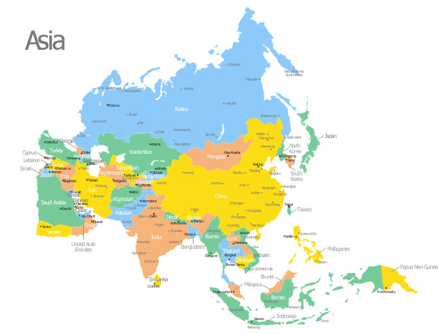
Use this template of Asia map with contours of Asian countries, capitals and main cities to design your political or thematic map.
This Asia map template for the ConceptDraw PRO diagramming and vector drawing software is included in the Continent Maps solution from the Maps area of ConceptDraw Solution Park.
This Asia map template for the ConceptDraw PRO diagramming and vector drawing software is included in the Continent Maps solution from the Maps area of ConceptDraw Solution Park.
Asia map
HelpDesk
How to Draw a Map of North America

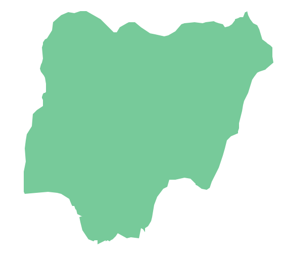
Geo Map - Africa - Nigeria
Geo Map - Africa - Benin

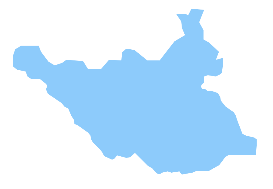
Geo Map - Africa - South Sudan
Geo Map - Africa - Equatorial Guinea

- North America Map With Countries And Capitals
- North America Maps With Countries And Capitals
- Africa map with countries , main cities and capitals - Template ...
- North American Countries And Capitals Map In Hindi
- Europe Map With Capitals And Countries
- Geo Map - South America Continent | Country Capital Of North ...
- Hd Map Of Asian Continent With Countries And Capitals
- North America map with capitals - Template | South America map ...
- Europe map with capitals - Template | Country Of Europe And ...