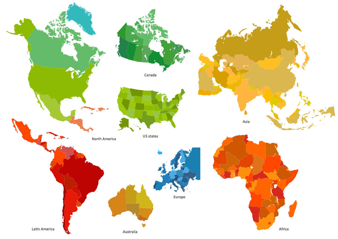
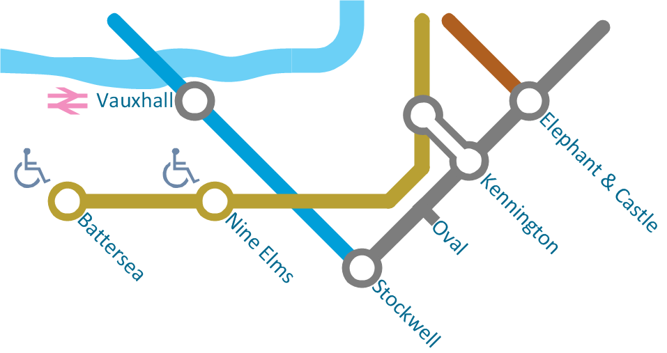
Spatial infographics Design Elements: Continental Map
ConceptDraw PRO is a software for making infographics illustrations. You can work with various components to build really impressive and easy-to-understand infographics design.Map Directions
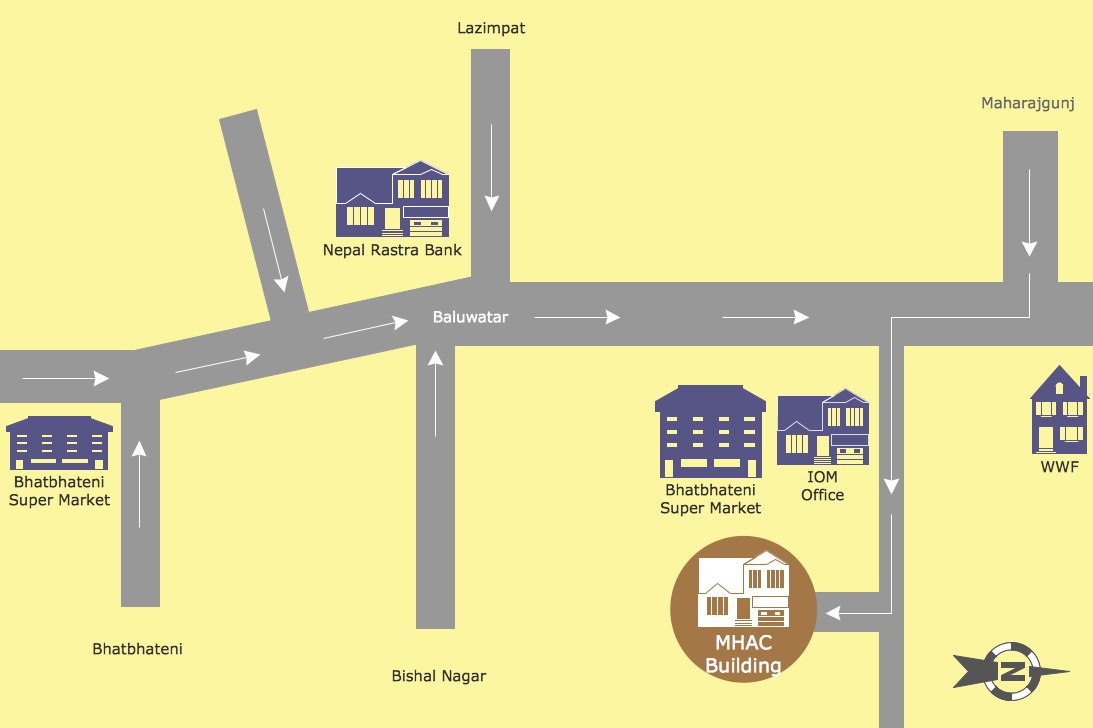
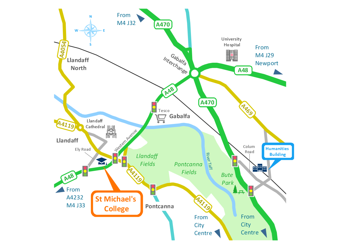
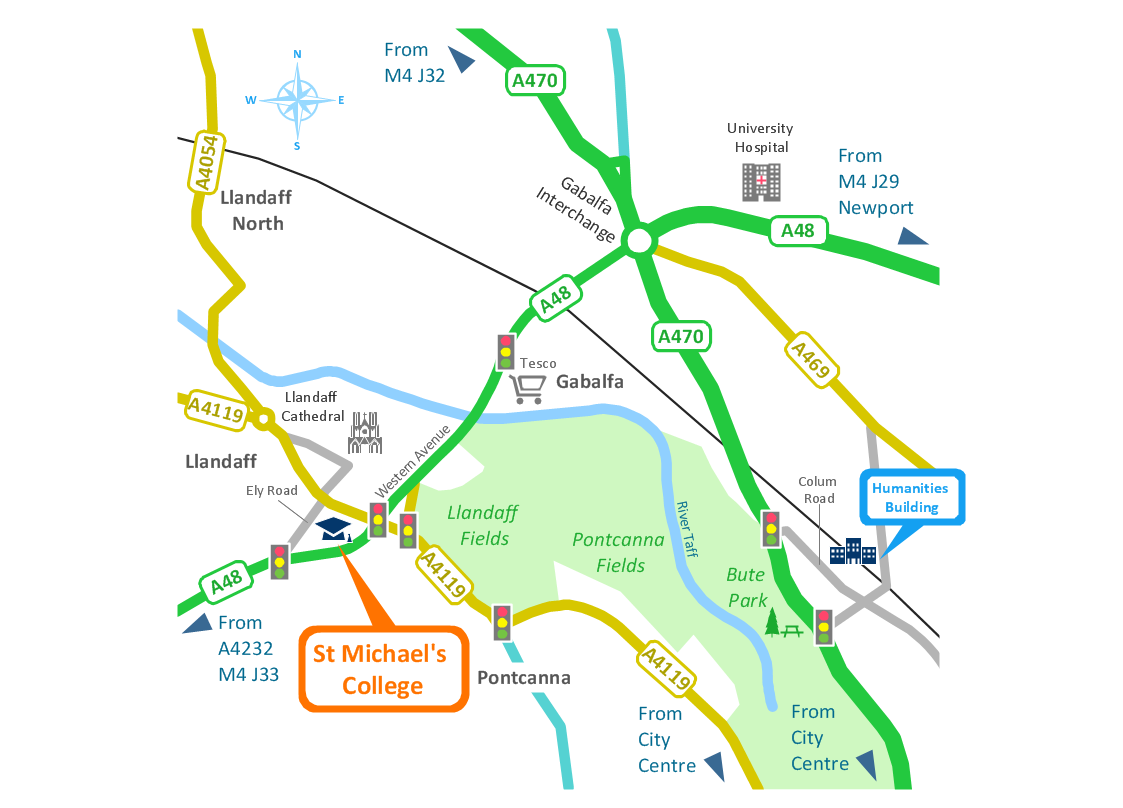
ConceptDraw PRO software extended with Directional Maps Solution from the Maps Area of ConceptDraw Solution Park offers you the set of useful tools for easy drawing map directions, directional maps, road maps, navigation schemes, transit maps of any complexity, etc.Brilliant Examples of Infographics Map, Transport, Road
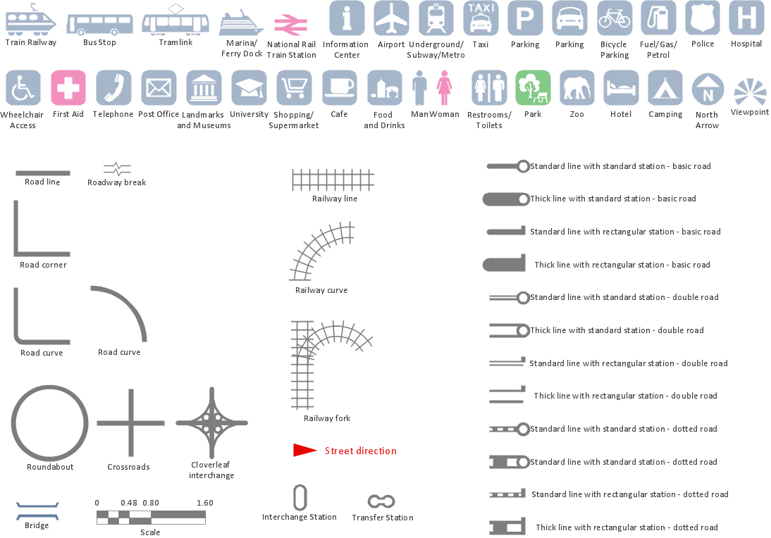
ConceptDraw PRO contains spatial infographics samples, map templates to be filled in, and libraries of vector stencils for main design elements of spatial infographics.Maps and Directions
ConceptDraw PRO diagramming and vector drawing software extended with Directional Maps Solution from the Maps Area of ConceptDraw Solution Park is a powerful maps and directions design software. Let's review the tools of this solution.Map Infographic Maker
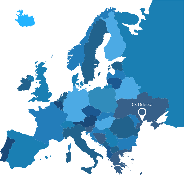
Take inspiration with ConceptDraw to visualise your maps and make eye-catching infographics.Spatial infographics Design Elements: Location Map
Infographic Design Elements for visually present various geographically distributed information.Directions Map
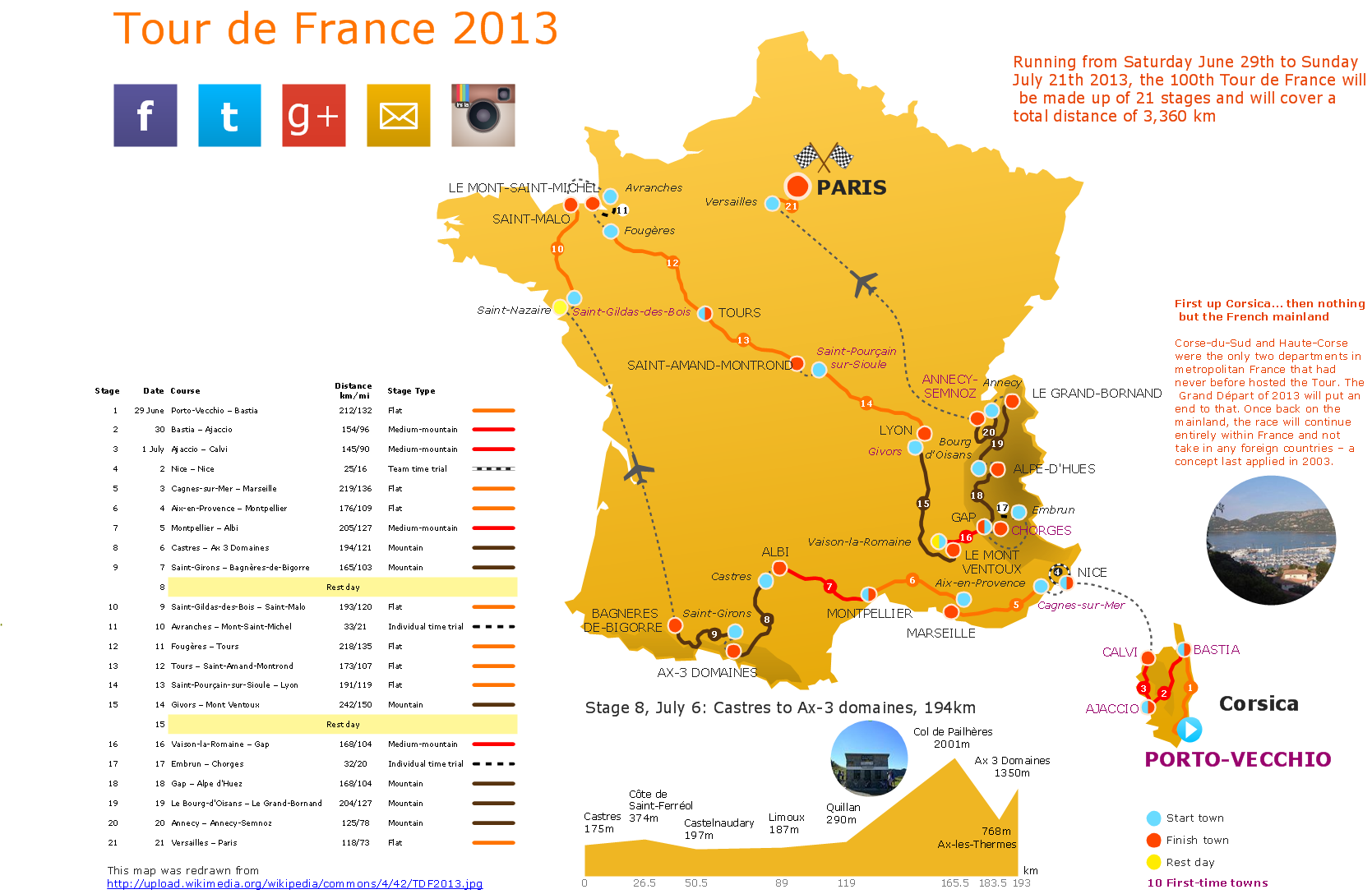
ConceptDraw PRO is a powerful diagramming and vector drawing software. Extended with Directional Maps Solution from the Maps Area of ConceptDraw Solution Park, it became the best software for quick and easy designing Directions Map of any complexity.Spatial infographics Design Elements: Transport Map
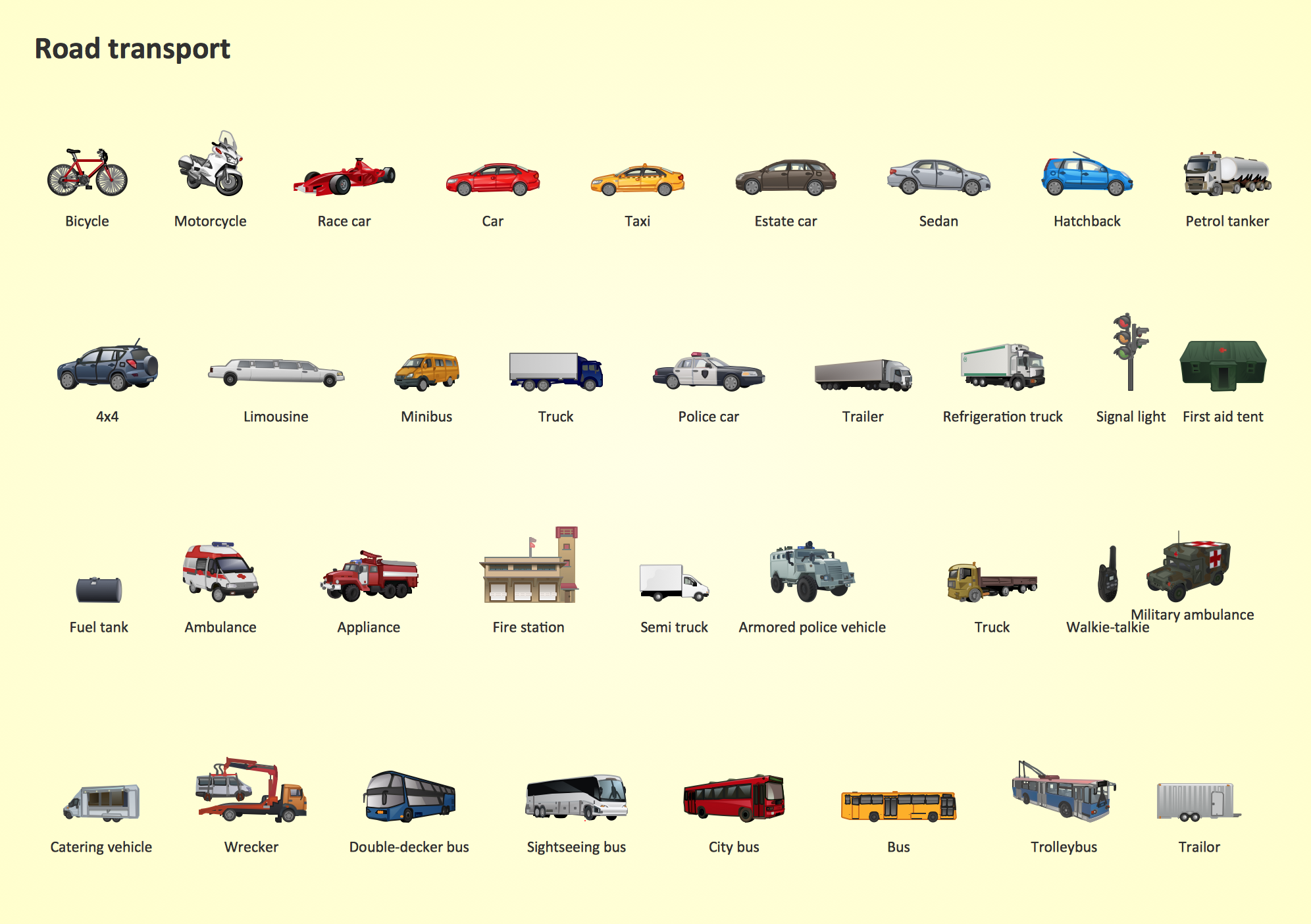
Do you like infographics and data visualization? Creating infographics is super-easy with ConceptDraw.Road Transport - Design Elements
Samples, templates and libraries contain vector clip art for drawing the Road Transport Illustrations.Map Infographic Design
ConceptDraw collection of vector elements for infographics design.Visualization Spatial Data Using Thematic Maps Combined with Infographics
Now anyone can build an infographics from their data using ConceptDraw. Nice and simple, but the features it have are power-packed!Types of Map - Overview
ConceptDraw defines some map types, divided into three categories. Every map type has specific shapes and examples.Superb Examples of Infographic Maps
Great examples of Infographic Maps, they are needed for inspiration.Best Tool for Infographic Construction
ConceptDraw is a best data visualization tool that will allow everyone to create rich infographics and visualizations quickly and easily.Excellent Examples of Infographic Maps
Create Spatial infographics with ConceptDraw using its excellent examples of infographic maps. We hope these can inspire and teach you!- Spatial infographics Design Elements: Transport Map | Road ...
- Concept Maps | Education | What are Infographic Area | Vector ...
- Road Map
- Picture Of Good Road Safe Comunication
- Navigation Road Map Clipart
- Good Road Communication Picture
- Road transport - Vector stencils library | City Road Traffic 2d Picture
- Road Signal Picture
- Road Transport For Example And Picture
- Rail transport - Design elements | Road Transport - Design ...
- Flexible Picture Rail
- Map Software | How to Draw a Natural Landscape | Nature ...
- Pictures Of Examples Of Rail Transport
- Road Transport - Design Elements | 3D pictorial street map ...
- Aerospace Pictures
- Elements Of Computer Images
- Design elements - Location map | How To Draw Building Plans ...
- Directional Map Road Signs
- Transportation Infographics | Road Transport - Design Elements ...
- Directional Maps | Design elements - 3D directional maps | 3D ...

