Export from ConceptDraw DIAGRAM Document to a Graphic File


Geo Map - Europe - Bulgaria

Geo Map — Europe

Map of USA

Amazon Web Services

Geo Map of Americas

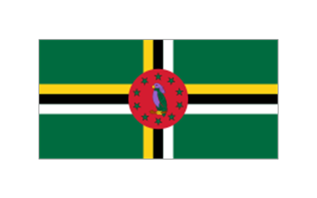
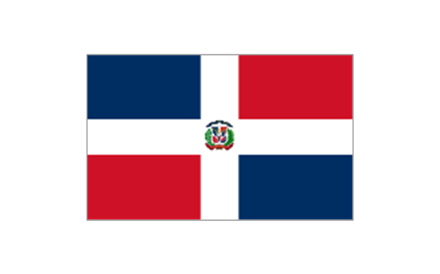
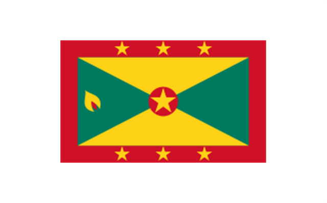
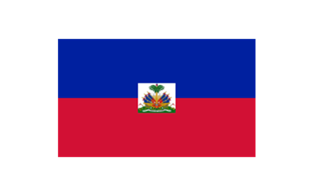
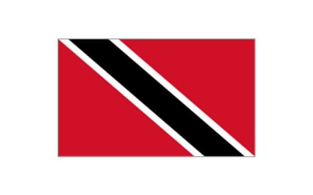
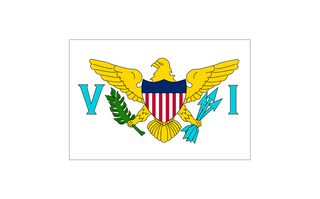
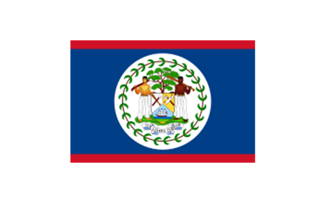
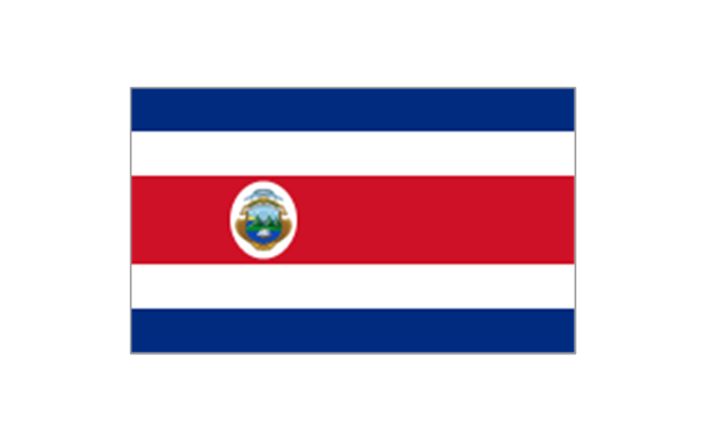
The stencils library "North and Central America flags" contains 35 clipart images of North and Central American countries state flags.
"Flags of North America.
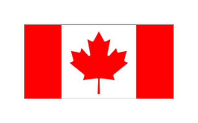
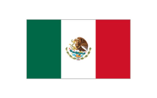
North America: Flag of Canada, Flag of Mexico, Flag of the United States.
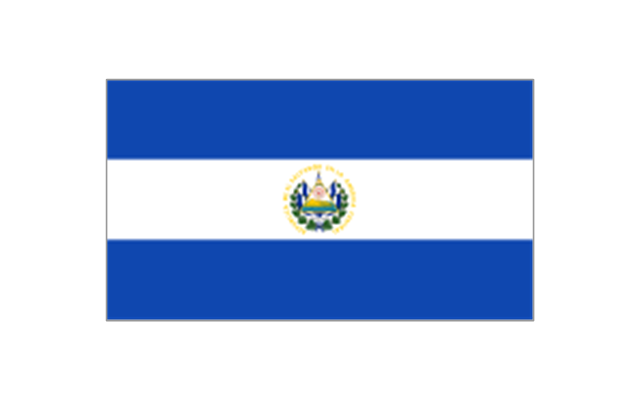
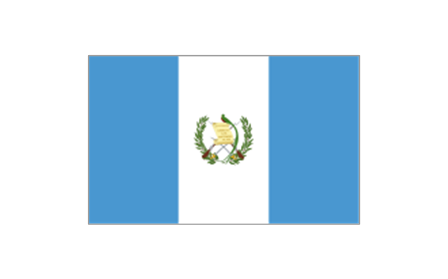
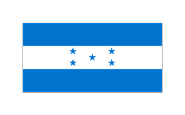
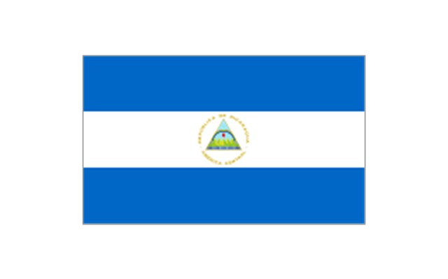
Central America: Flag of Belize, Flag of Costa Rica, Flag of El Salvador, Flag of Guatemala, Flag of Honduras, Flag of Nicaragua, Flag of Panama.
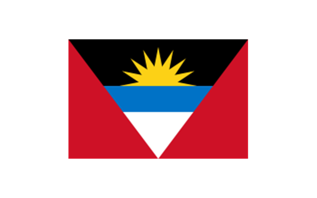
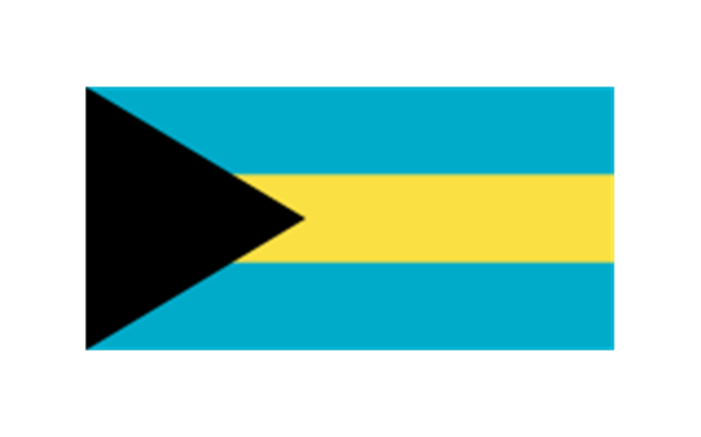
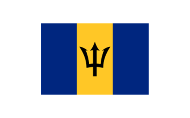
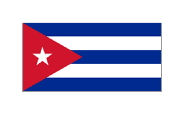
Caribbean: Flag of Anguilla (United Kingdom), Flag of Antigua and Barbuda, Flag of Aruba (Netherlands), Flag of the Bahamas, Flag of Barbados, Flag of Bonaire (Netherlands), Flag of the British Virgin Islands (United Kingdom), Flag of the Cayman Islands (United Kingdom), Flag of Cuba, Flag of Curacao (Netherlands), Flag of Dominica, Flag of the Dominican Republic, Flag of Grenada, Unofficial Flag of Guadeloupe (France), Flag of Haiti, Flag of Jamaica, Unofficial Flag of Martinique (France), Flag of Montserrat (United Kingdom), Unofficial Flag of Navassa Island (United States), Flag of Puerto Rico (United States), Flag of Saba (Netherlands), Unofficial Flag of Saint Barthelemy (France), Flag of Saint Kitts and Nevis, Flag of Saint Lucia, Unofficial Flag of Saint Martin (France), Flag of Saint Vincent and the Grenadines, Flag of Sint Eustatius (Netherlands), Flag of Sint Maarten (Netherlands), Flag of Trinidad and Tobago, Flag of the Turks and Caicos Islands (United Kingdom), Flag of the United States Virgin Islands (United States)." [Flags of North America. Wikipedia]
The clip art example "North and Central America flags - Stencils library" was created using the ConceptDraw PRO diagramming and vector drawing software extended with the Continent Maps solution from the Maps area of ConceptDraw Solution Park.
www.conceptdraw.com/ solution-park/ maps-continent
"Flags of North America.
North America: Flag of Canada, Flag of Mexico, Flag of the United States.
Central America: Flag of Belize, Flag of Costa Rica, Flag of El Salvador, Flag of Guatemala, Flag of Honduras, Flag of Nicaragua, Flag of Panama.
Caribbean: Flag of Anguilla (United Kingdom), Flag of Antigua and Barbuda, Flag of Aruba (Netherlands), Flag of the Bahamas, Flag of Barbados, Flag of Bonaire (Netherlands), Flag of the British Virgin Islands (United Kingdom), Flag of the Cayman Islands (United Kingdom), Flag of Cuba, Flag of Curacao (Netherlands), Flag of Dominica, Flag of the Dominican Republic, Flag of Grenada, Unofficial Flag of Guadeloupe (France), Flag of Haiti, Flag of Jamaica, Unofficial Flag of Martinique (France), Flag of Montserrat (United Kingdom), Unofficial Flag of Navassa Island (United States), Flag of Puerto Rico (United States), Flag of Saba (Netherlands), Unofficial Flag of Saint Barthelemy (France), Flag of Saint Kitts and Nevis, Flag of Saint Lucia, Unofficial Flag of Saint Martin (France), Flag of Saint Vincent and the Grenadines, Flag of Sint Eustatius (Netherlands), Flag of Sint Maarten (Netherlands), Flag of Trinidad and Tobago, Flag of the Turks and Caicos Islands (United Kingdom), Flag of the United States Virgin Islands (United States)." [Flags of North America. Wikipedia]
The clip art example "North and Central America flags - Stencils library" was created using the ConceptDraw PRO diagramming and vector drawing software extended with the Continent Maps solution from the Maps area of ConceptDraw Solution Park.
www.conceptdraw.com/ solution-park/ maps-continent
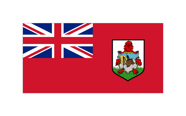
Bermuda
Canada
Greenland (Denmark)
-north-and-central-america-flags---stencils-library.png--diagram-flowchart-example.png)
Mexico
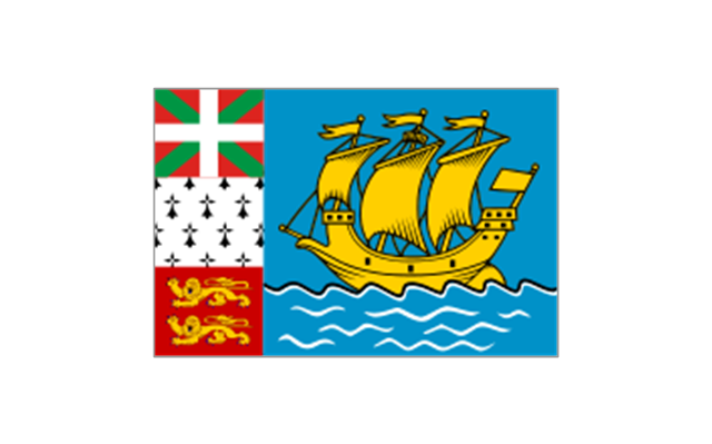
St. Pierre and Miquelon
United States

Anguilla (UK)
-north-and-central-america-flags---stencils-library.png--diagram-flowchart-example.png)
Antigua and Barbuda
Aruba (Netherlands)
-north-and-central-america-flags---stencils-library.png--diagram-flowchart-example.png)
Bahamas
Barbados
Cuba
Dominica
Dominican Republic
Grenada
Guadeloupe (France)
-north-and-central-america-flags---stencils-library.png--diagram-flowchart-example.png)
Haiti
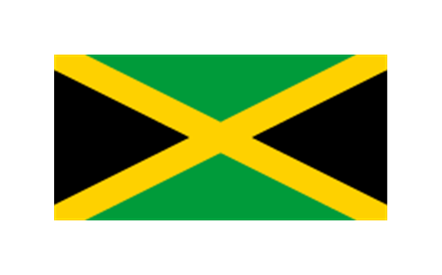
Jamaica
Martinique (France)
-north-and-central-america-flags---stencils-library.png--diagram-flowchart-example.png)
Navassa Island (US)
-north-and-central-america-flags---stencils-library.png--diagram-flowchart-example.png)
Puerto Rico (US)
-north-and-central-america-flags---stencils-library.png--diagram-flowchart-example.png)
Saint Barth??lemy (France)
-north-and-central-america-flags---stencils-library.png--diagram-flowchart-example.png)
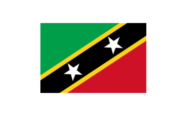
Saint Kitts and Nevis
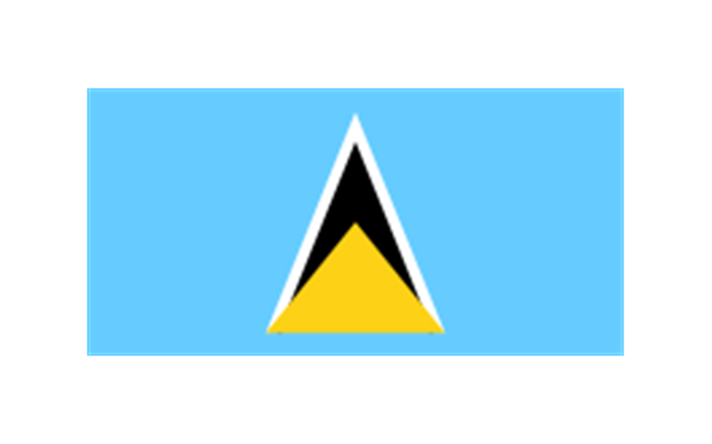
Saint Lucia
Saint Martin (France)
-north-and-central-america-flags---stencils-library.png--diagram-flowchart-example.png)
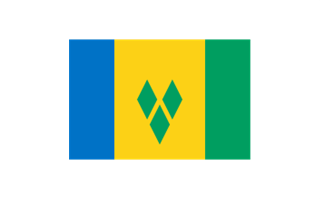
Saint Vincent and the Grenadines
Trinidad and Tobago
United States Virgin Islands
Belize
Costa Rica
El Salvador
Guatemala
Honduras
Nicaragua
Panama
The vector stencils library "Landmarks" contains 69 landmark symbols of buildings, waterways, scale and directional indicators for labeling transportation and directional maps, road and route maps, street and transit maps, locator and tourist maps.
The pictograms example "Landmarks - Vector stencils library" was created using the ConceptDraw PRO diagramming and vector drawing software extended with the Directional Maps solution from the Maps area of ConceptDraw Solution Park.
The pictograms example "Landmarks - Vector stencils library" was created using the ConceptDraw PRO diagramming and vector drawing software extended with the Directional Maps solution from the Maps area of ConceptDraw Solution Park.
Viewpoint

North arrow
North arrow
Building

Building

Town house

Suburban home

Skyscraper

Town hall

Public house

Petrol station

Gas station

Factory

School

Warehouse

Hospital

Fire station

Train station

Condos

Barn

Motel

Convenience store

Shopping centre

City

Church

Cathedral

National tail train station

Train railway

Bus stop

Tramlink

Marina / Ferry dock

Car ferry

Stop light

Airport

Airport

Underground / Subway / Metro

Taxi

Bicycle parking

Parking

Fuel / Gas / Petrol

Police

Hospital

Wheelchair access

First aid

Telephone

Post office

Landmarks and museums

University

Shopping

Refreshments / Public House

Restrooms / Toilets

Park

Zoo

Information center

Stadium 1

Stadium 2

Park

Tree

Fir-tree

Ocean

Lake

River

Angled river

Forked river

Curved river

Curved river

Flexible river

Bridge

Scale

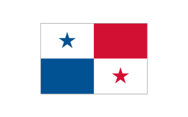
Geo Map - South America - Panama

Interior Design. Office Layout Plan Design Element


Geo Map - Canada

The vector stencils library "Map symbols" contains 10 spatial infographics symbols.
Use these signs and pictograms for drawing road and transit maps in the ConceptDraw PRO diagramming and vector drawing software extended with the Spatial Infographics solution from the area "What is Infographics" of ConceptDraw Solution Park.
Use these signs and pictograms for drawing road and transit maps in the ConceptDraw PRO diagramming and vector drawing software extended with the Spatial Infographics solution from the area "What is Infographics" of ConceptDraw Solution Park.
Windrose

North arrow
North arrow
Callout

Callout

Location

Direction Right

Direction Left

Direction Up

Direction Down

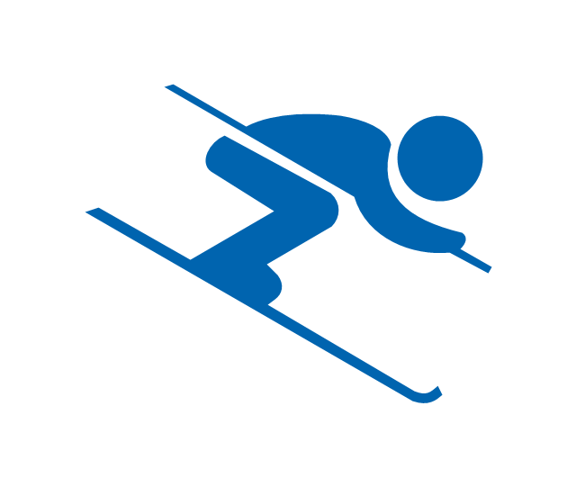
"Alpine skiing is the sport of sliding down snow-covered hills on skis with fixed-heel bindings. It is also commonly known as downhill skiing, although that also incorporates different styles. Alpine skiing can be contrasted with skiing using free-heel bindings; ski mountaineering and nordic skiing – such as cross-country; ski jumping; and Telemark. Alpine skiing is popular wherever the combination of snow, mountain slopes, and a sufficient tourist infrastructure can be built up, including parts of Europe, North America, Australia and New Zealand, the South American Andes, and East Asia.
Alpine skiing began as a club sport 1861 at Kiandra in Australia and a number of similar clubs in North America and the Austrian and Swiss Alps. Today, most alpine skiing occurs at a ski resort with ski lifts that transport skiers up the mountain. The snow is groomed, avalanches are controlled and trees are cut to create trails. Many resorts also include snow making equipment to provide skiing when the weather would otherwise not allow it. Alternatively, alpine skiers may pursue the sport in less controlled environments; this practice is variously referred to as ski touring, backcountry skiing, or extreme skiing.
In competitive alpine skiing races four disciplines exist: slalom, giant slalom, super giant slalom, and downhill. Slalom ski races have courses that require short tight turns, whereas giant-slalom races have courses which are set with more widely spaced turns. Super-giant slalom and downhill have few turns, the courses have gates spaced widely apart and skiers often reach 100 km/ h." [Alpine skiing. Wikipedia]
The vector icon example "Alpine skiing" represents one of 20 symbols from the Winter sports pictograms library for the ConceptDraw PRO diagramming and vector drawing software.
The design elements library Winter sports pictograms is included in the Winter Sports solution from the Sport area of ConceptDraw Solution Park.
Alpine skiing
Geo Map - USA - New York

Geo Map — Europe — Greece

- Alpine skiing - Winter sports pictograms | Slalom Tree Icon Png
- USA Maps | Continent Maps | North Arrow Mark Png
- Architecture Visualization North Symbol Png
- North Arrow Icon Png
- North Arrow Sketch Architect Png
- North Point Symbol Png
- Modern Architectural North Arrow Png
- North Arrow Architecture Png
- Modern North Arrow Png
- North Compass Arrow Png
- North Direction Png For Architecture
- Iran Map Icon Pnf
- Yemen Map Icon Png
- Funny Callouts Png
- Free Vector North Icon
- Viewpoint Icon
- Scale Png
- Iran Map Icon Png
- Ferry Icon Png
- North Arrow Architecture Symbol