The vector stencils library "Geography" contains 14 clipart images of natural landscapes and water features for drawing illustrations.
"A natural landscape is a landscape that is unaffected by human activity. A natural landscape is intact when all living and nonliving elements are free to move and change. The nonliving elements distinguish a natural landscape from a wilderness. A wilderness includes areas within which natural processes operate without human interference, but a wilderness must contain life. As implied, a natural landscape may contain either the living or nonliving or both." [Natural landscape. Wikipedia]
The clip art example "Geography - Vector stencils library" was created using the ConceptDraw PRO diagramming and vector drawing software extended with the Nature solution from the Illustration area of ConceptDraw Solution Park.
www.conceptdraw.com/ solution-park/ illustrations-nature
Ocean

Forest

River

Lake

Waterfall

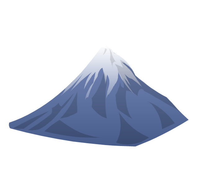
Mountains

Mountain

Ravine

Volcano

Desert

Hills

Iceberg

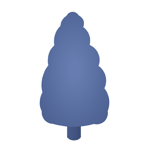
Conifer tree

Tree

Geo Map of Americas

The vector clipart library Geography contains 14 images of geographical features: ocean, forest, river, lake, waterfall, mountains, ravine, volcano, desert, hills, iceberg, trees.
Use the design elements library Geography to draw illustrations with landform images using the ConceptDraw PRO diagramming and vector drawing software.
"A landform in the earth sciences comprises a geomorphological unit, and is largely defined by its surface form and location in the landscape. As part of the terrain a landform is an element of topography. Landform elements also include land such as hills, mountains, plateaus,canyons,valleys, seascape and oceanic waterbody interface features such as bays, peninsulas, seas and so forth, including sub-aqueous terrain features such as mid-ocean ridges, volcanoes,and the great ocean basins." [Landform. Wikipedia]
This landscape illustration example is included in the Nature solution from the Illustration area of ConceptDraw Solution Park.
Vector illustration

Geo Map - USA - Montana

Geo Map - USA - Virginia

Geo Map - USA - Colorado

Geo Map - South America - Ecuador

Beauty in nature Illustrations and Clipart

Geo Map - Europe - Iceland

The vector stencils library "Bushes and trees" contains 57 clipart images of bushes and trees. Use it to create your landscape design and garden plan.
"A shrub is a small to medium sized woody plant. It is distinguished from a tree by its multiple stems and shorter height, usually under 6 m (20 ft) tall. Plants of many species may grow either into shrubs or trees, depending on their growing conditions. Small, low shrubs, generally less than 2 m (6.6 ft) tall, such as lavender, periwinkle and most small garden varieties of roses, are often termed subshrubs or bushes.
An area of cultivated shrubs in a park or a garden is known as a shrubbery. When clipped as topiary, suitable species or varieties of shrubs develop dense foliage and many small leafy branches growing close together. Many shrubs respond well to renewal pruning, in which hard cutting back to a 'stool' results in long new stems known as "canes". Other shrubs respond better to selective pruning to reveal their structure and character.
Shrubs in common garden practice are generally considered broad-leaved plants, though some smaller conifers such as Mountain Pine and Common Juniper are also shrubby in structure. Species that grow into a shrubby habit may be either deciduous or evergreen." [Shrub. Wikipedia]
The bushes clipart example "Design elements - Bushes and trees (bushes)" was created using the ConceptDraw PRO diagramming and vector drawing software extended with the Landscape & Garden solution from the Building Plans area of ConceptDraw Solution Park.
Bushes clipart
.png--diagram-flowchart-example.png)
 Cafe and Restaurant Floor Plans
Restaurants and cafes are popular places for recreation, relaxation, and are the scene for many impressions and memories, so their construction and design requires special attention. Restaurants must to be projected and constructed to be comfortable and e
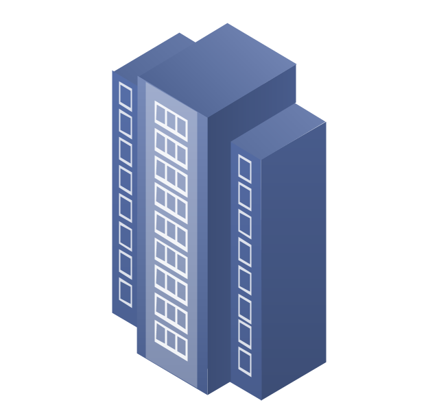
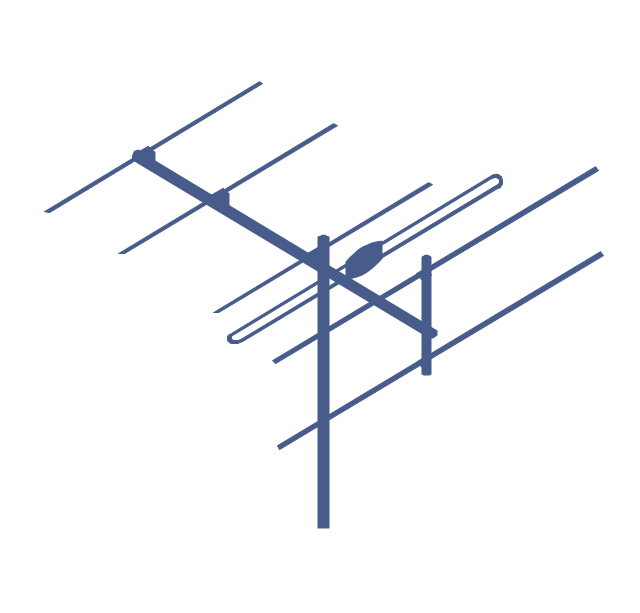
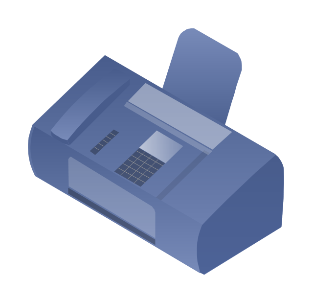
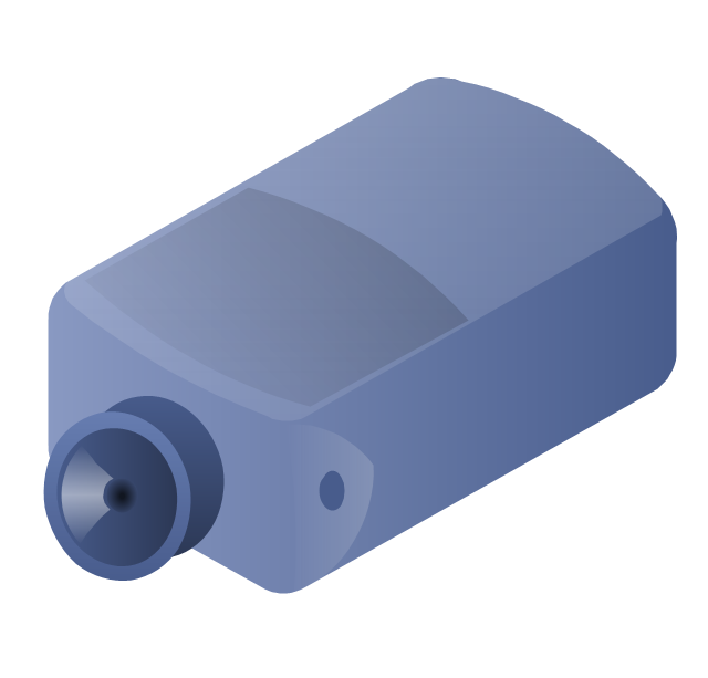
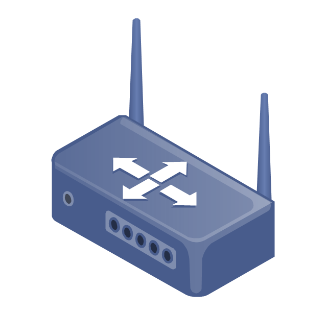
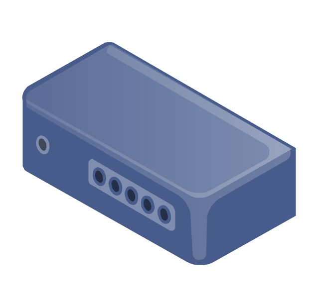
The vector stencils library "Telecommunication networks" contains 32 clipart images of telecommunication network devices and equipment for drawing telecom network diagrams.
"A telecommunications network is a collection of terminal nodes, links and any intermediate nodes which are connected so as to enable telecommunication between the terminals.
The transmission links connect the nodes together. The nodes use circuit switching, message switching or packet switching to pass the signal through the correct links and nodes to reach the correct destination terminal.
Each terminal in the network usually has a unique address so messages or connections can be routed to the correct recipients. The collection of addresses in the network is called the address space." [Telecommunications network. Wikipedia]
The clip art example "Telecommunication networks - Vector stencils library" was created using the ConceptDraw PRO diagramming and vector drawing software extended with the Telecommunication Network Diagrams solution from the Computer and Networks area of ConceptDraw Solution Park.
Internet

Globe

Base station

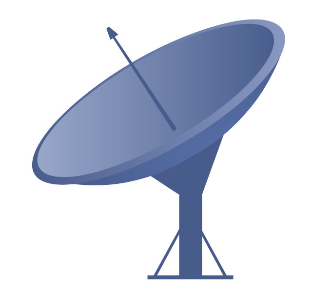
Satellite dish
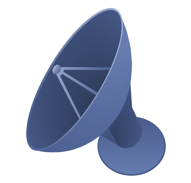
Satellite dish
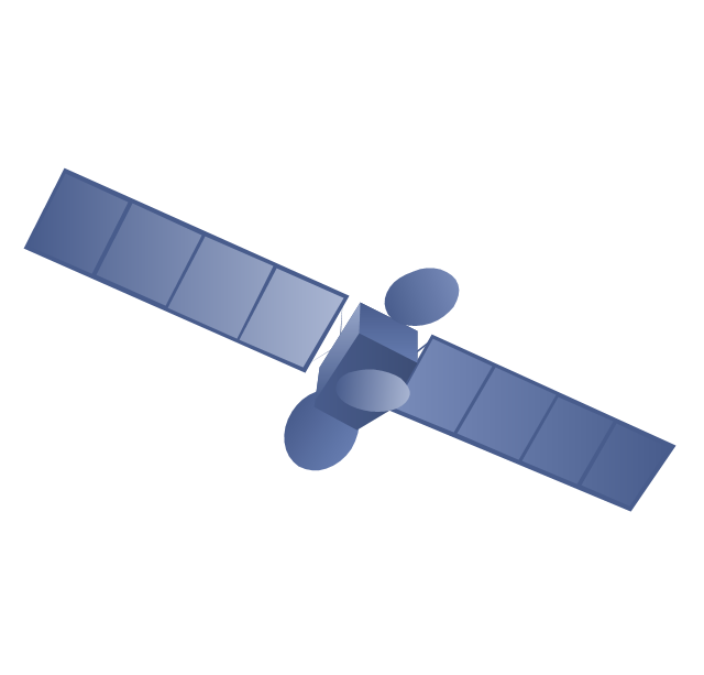
Communications satellite
Wireless cell tower

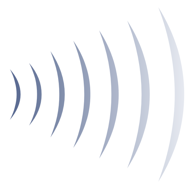
Radio waves

Radio waves
Cellular phone
Server
Laptop computer

Desktop computer

Car

Satellite truck

House

House

Office building
Mountain
Tree

Tree
User

Call-center

Multi-storey
Antenna
Router

IP phone

Fax
Network cell

IP Camera
Wireless router
Networking device
Geo Map - USA - Arkansas

Geo Map - South America - Haiti

Geo Map - South America - Suriname

- Mountains Clipart Png
- Mountain Forest Clipart
- Mountains Hills Forest Deserts
- Green Mountains Clipart
- Hills And Mountains Clipart
- Mountain Hill Clipart Png
- Mountain To River Illustration
- Landforms Mountains Clipart
- Ski lift in the snow capped mountains | Design elements ...
- Mountain Vector Illustration
- Free Mountain Clip Art
- River Stream Desert Clipart
- Image Of Mountain Clipart Without Background Without Transperant
- Clipart Mountains Ocean
- Ski lift in the snow capped mountains | Geography - Vector stencils ...
- Draw A Mountain Valley River Lake
- Drawing Of Mountains Rivers Forests Seas
- Ski lift in the snow capped mountains | Design elements ...
- Iceberg Clipart
- Hills Clipart Png