World Continents Map

7 Continents Map

 Continent Maps
Continent Maps solution extends ConceptDraw DIAGRAM software with templates, samples and libraries of vector stencils for drawing the thematic maps of continents, state maps of USA and Australia.
Map of Continents

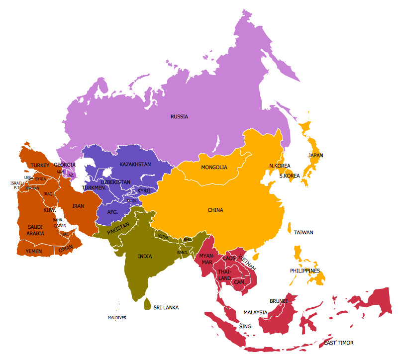
Geo Map - World

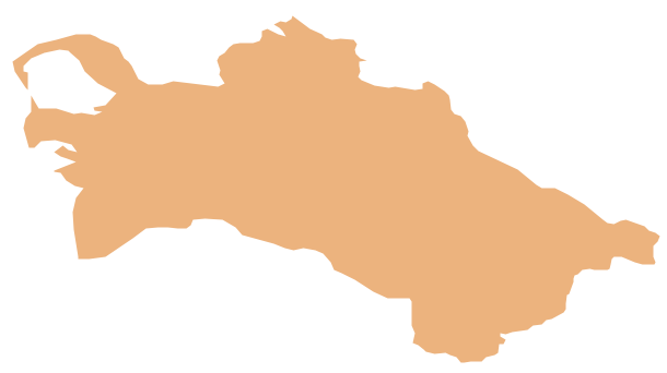
Geo Map - Asia - Turkmenistan
Spatial infographics Design Elements: Continental Map

Continents and Oceans Map

Continent Map
Types of Map - Overview

- World Continents Map | Map of Continents | Continent Maps | Seven ...
- Map of Continents | World Continents Map | Geo Map - Asia ...
- 7 Continents Map | Continent Maps | Informative and Well-Designed ...
- 7 Continents Map | World Continents Map | Continents Map ...
- Draw Seven Continents
- Informative and Well-Designed Infographics | Continent Maps | How ...
- World Continents Map | 7 Continents Map | Continents Map | The ...
- Continent Maps
- Draw And All Seven Continent
- Continent Maps | Bar Graphs | Basic Bar Graphs | Bar Graph On ...