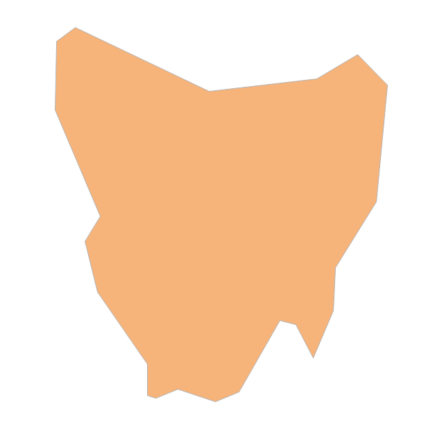
Geo Map - Australia - Tasmania

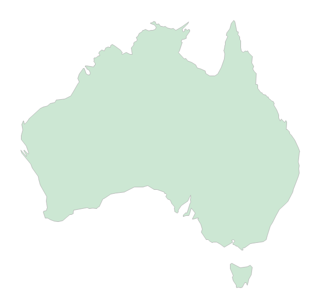
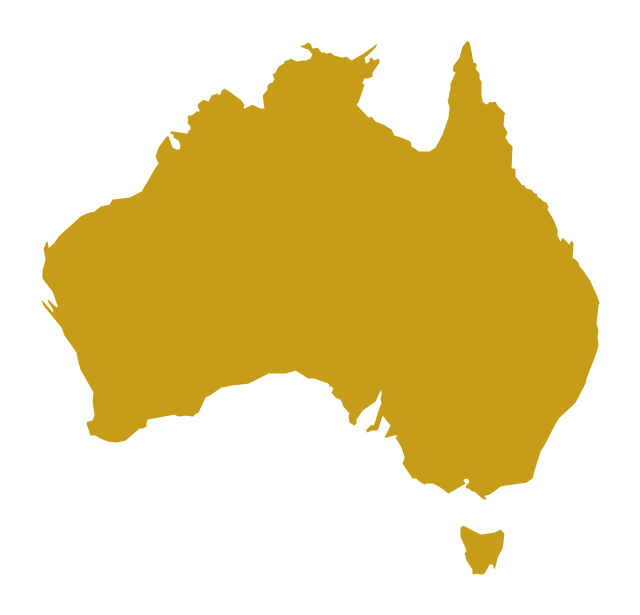
Geo Map - Australia

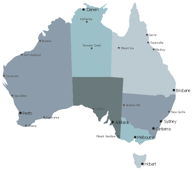
Map of Australia

Australia Map — Tasmania

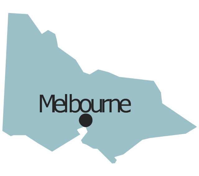
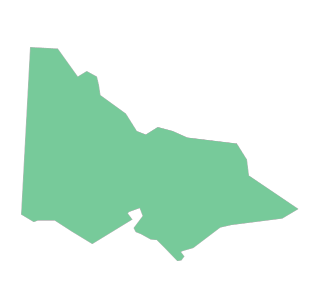
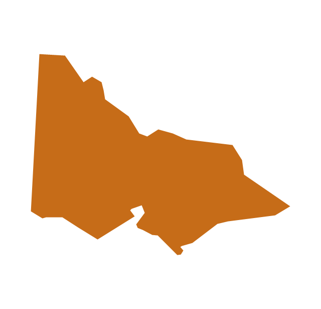
Geo Map - Australia - Victoria

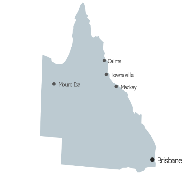
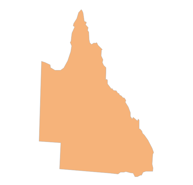
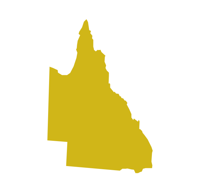
Geo Map - Australia - Queensland

The vector stencils library "Management map Australia" contains 9 map contours of Australia.
Use it to create your management infogram in the ConceptDraw PRO diagramming and vector drawing software.
The state map contours example "Management map Australia - Vector stencils library" is included in the solution "Marketing infographics" from the "Business infographics" area of ConceptDraw Solution Park.
Australia
Australian Capital Territory

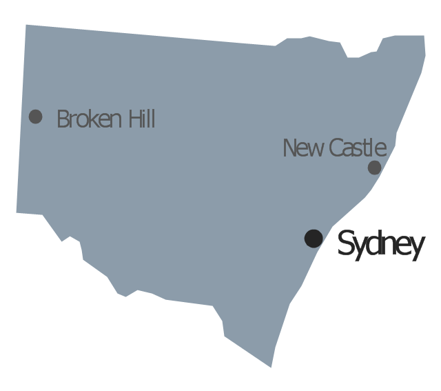
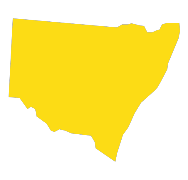
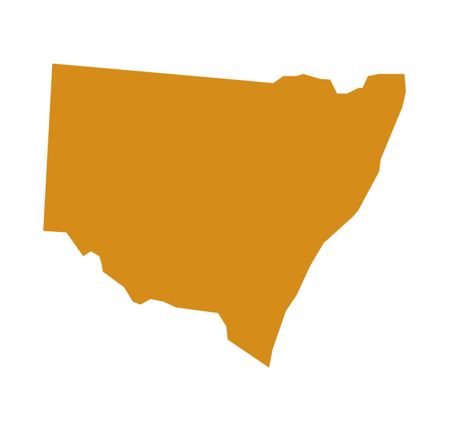
New South Wales
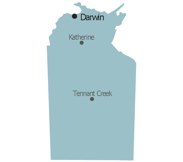
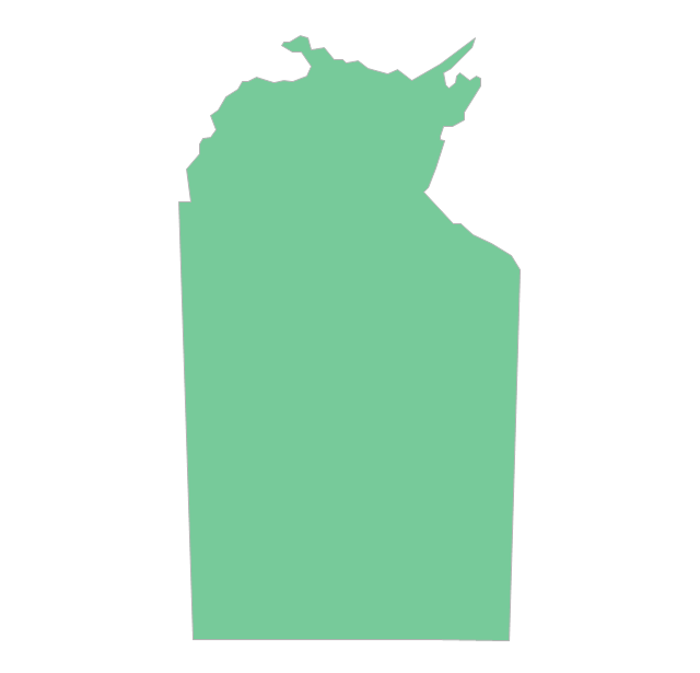
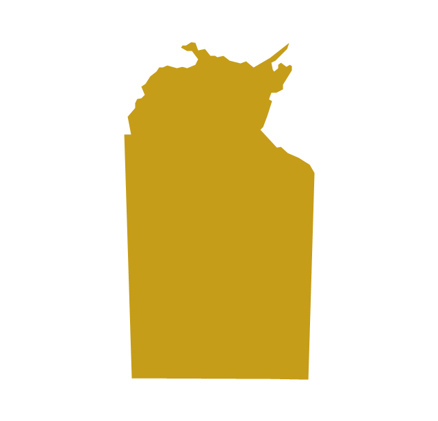
Northern Territory
Queensland
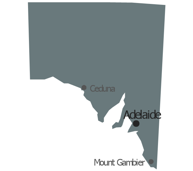
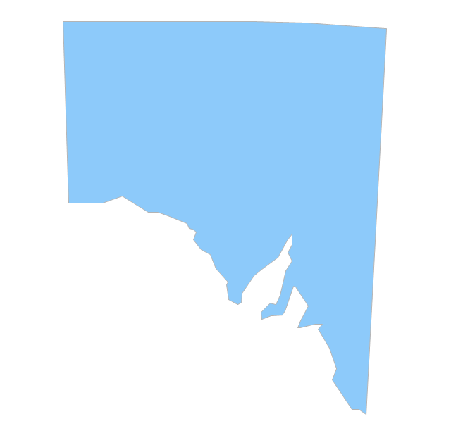
South Australia
Tasmania

Victoria
Western Australia
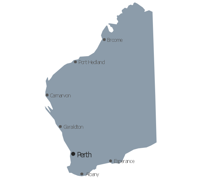
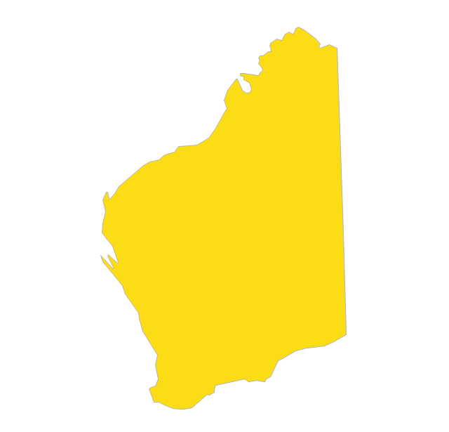
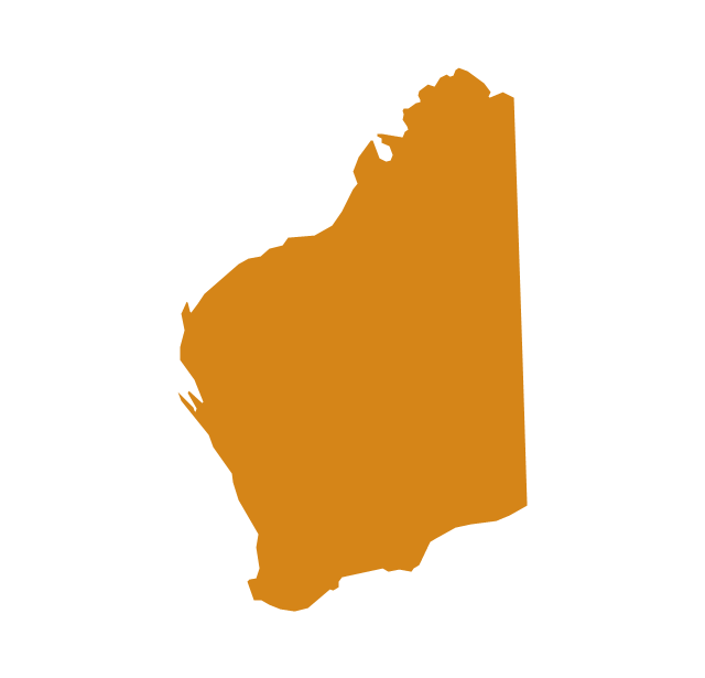
Geo Map - Australia - Western Australia

Australia Map — States and Cities

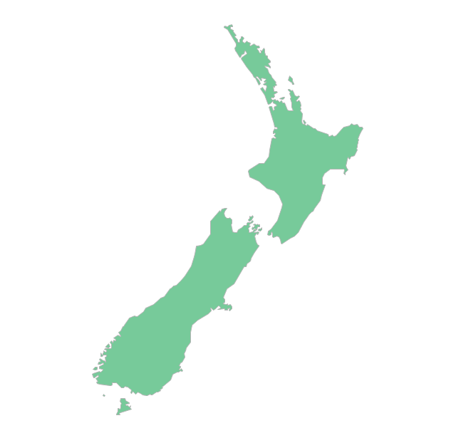
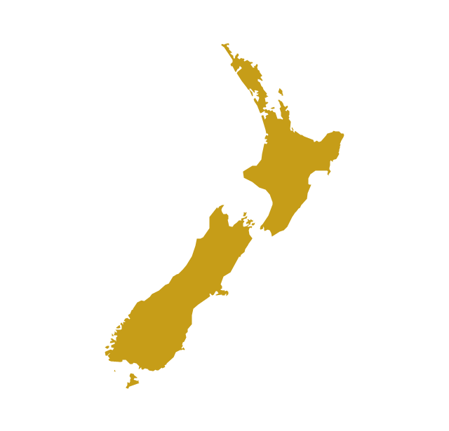
Geo Map — Australia — New Zealand

The vector stencils library "Australia" contains 10 Australian states and territories, and New Zealand map contours for drawing thematic maps of Australia and New Zealand. Use it for visual representation of geospatial information, statistics and quantitative data.
"Australia has six states - New South Wales (NSW), Queensland (QLD), South Australia (SA), Tasmania (TAS), Victoria (VIC) and Western Australia (WA) - and two major mainland territories - the Australian Capital Territory (ACT) and the Northern Territory (NT)." [Australia. Wikipedia]
The map contours example "Australia and New Zealand - Vector stencils library" was created using the ConceptDraw PRO diagramming and vector drawing software extended with the Continent Maps solution from the Maps area of ConceptDraw Solution Park.
Australia
Australia (state)
-australia-and-new-zealand---vector-stencils-library.png--diagram-flowchart-example.png)
New South Wales
Northern Territory
Queensland
South Australia
Tasmania
Victoria
Western Australia
New Zealand
The vector stencils library "Australia and New Zealand" contains 10 contours for drawing thematic maps of Australia and New Zealand.
Use it in your spatial infographics for visual representation of geospatial information, statistics and quantitative data in the ConceptDraw PRO diagramming and vector drawing software extended with the Spatial Infographics solution from the area "What is Infographics" of ConceptDraw Solution Park.
Use it in your spatial infographics for visual representation of geospatial information, statistics and quantitative data in the ConceptDraw PRO diagramming and vector drawing software extended with the Spatial Infographics solution from the area "What is Infographics" of ConceptDraw Solution Park.
Australia
Australia (states)
-australia-and-new-zealand---vector-stencils-library.png--diagram-flowchart-example.png)
New South Wales
Northern Territory
Queensland
South Australia

Tasmania

Victoria
Western Australia
New Zealand
Australia Map — Queensland

Geo Map - Australia - South Australia

Geo Map - Australia - New South Wales

- Geo Map - Australia - Tasmania | Australia and New Zealand ...
- Geo Map - Australia - Tasmania | Australia Map — Tasmania ...
- Australia and New Zealand - Vector stencils library | Geo Map ...
- Australia Map
- Australia and New Zealand - Vector stencils library | Australia and ...
- Geo Map - Australia - Tasmania
- Geo Map - Australia - Queensland | Geo Map - Australia - Tasmania ...
- Queensland To Western Australia Map Vector
- Map Of Australia And New Zeland
- Geo Map - Australia - New Zealand
- Australia Continent Map Countries
- Australia states time zones - Thematic map | Geo Map - Australia ...
- New Zealand Vector Map
- Australia Map Clip Art
- Geo Map - Australia - Nothern Territory | Australia and New Zealand ...
- Geo Map - Australia - New Zealand
- Geo Map - Australia - New Zealand | Map Software | Australia and ...
- Geo Map - Australia - Victoria
- Geo Map - Australia - Nothern Territory | How to Draw Maps of ...
- Australia New Zealand Map Outline