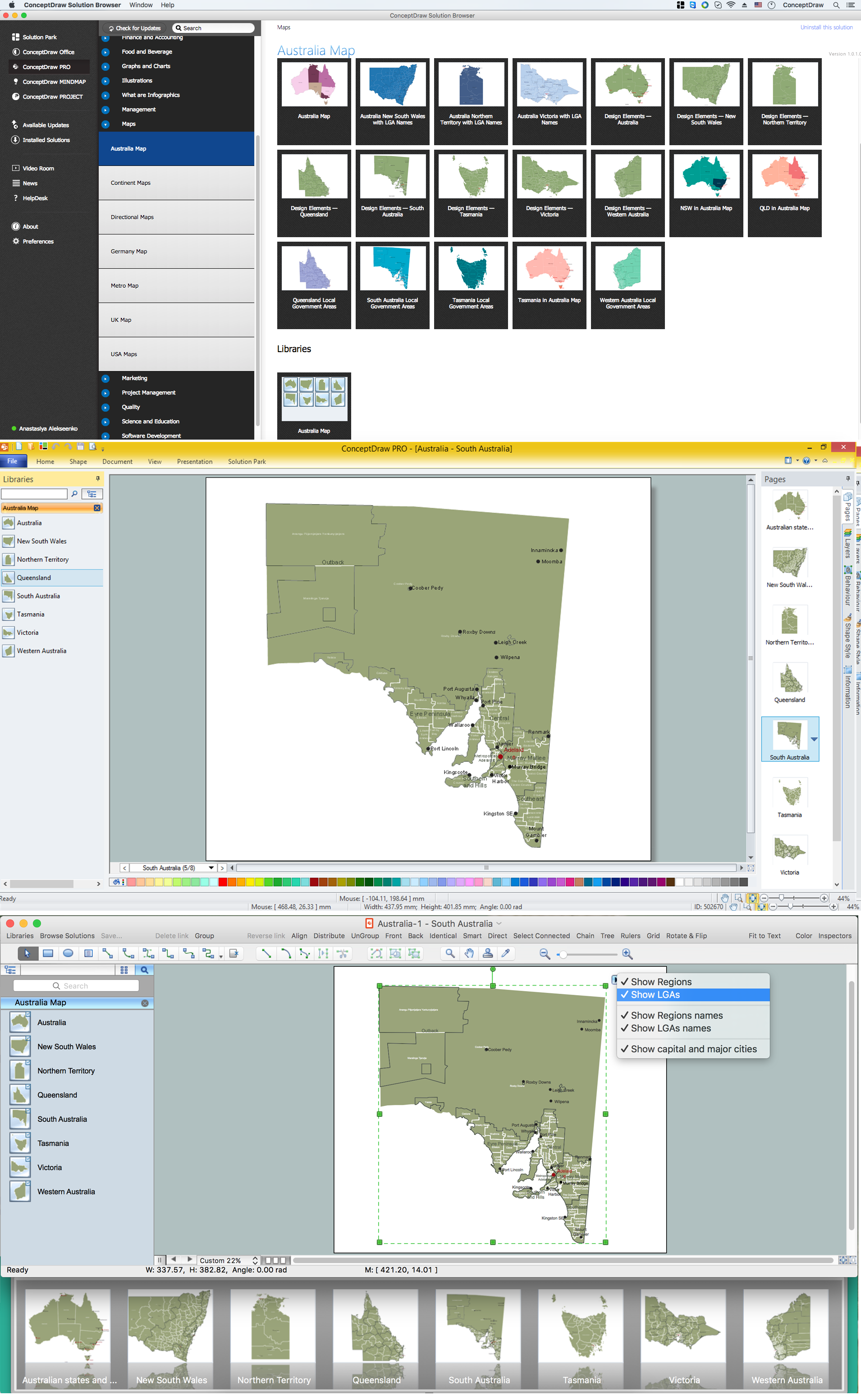
Map of Australia
You want design the map of Australia, maps of Australia states or surround islands, maps of Australia self governing mainland territories or extra external territories? Use the indispensable ConceptDraw DIAGRAM diagramming and vector drawing software extended with unique Australia Map Solution from the Maps Area of ConceptDraw Solution Park.
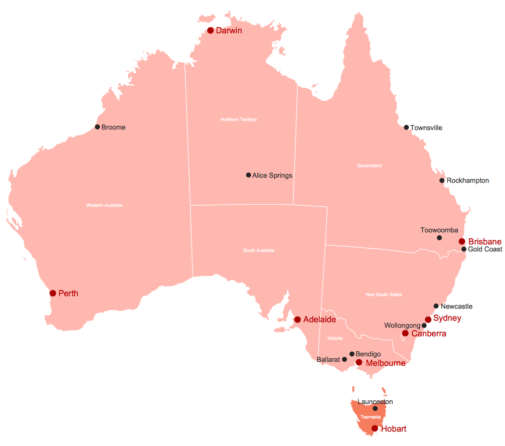
Example 1. Tasmania on Map of Australia
Australia Map Solution from the Maps Area of ConceptDraw Solution Park offers great number of predesigned examples and samples which give you the excellent start for your own professional looking map of Australia, maps of six Australia states, three mainland territories and seven external territories.

Example 2. Western Australia Local Government Areas
Australia Map solution provides also Australia Map library with 8 ready-to-use vector elements. Each of these objects have incredibly useful action menu with possibility to show/hide states and their names, capitals and major cities, regions, LGAs and their names. Note that the list of action possibilities differs according of object.

Example 3. Map of Australia New South Wales with LGA Names
The samples you see on this page were created in ConceptDraw DIAGRAM software using the tools of Australia Map solution. Each of these samples is a professionally designed Map of Australia state. An experienced user spent 10 minutes creating every of these maps, you can find them in ConceptDraw STORE.
Use the Australia Map solution for ConceptDraw DIAGRAM software to design your own map of Australia and maps of Australia states fast, easy and effective.
All source documents are vector graphic documents. They are available for reviewing, modifying, or converting to a variety of formats (PDF file, MS PowerPoint, MS Visio, and many other graphic formats) from the ConceptDraw STORE. The Australia Map Solution is available for all ConceptDraw DIAGRAM or later users.