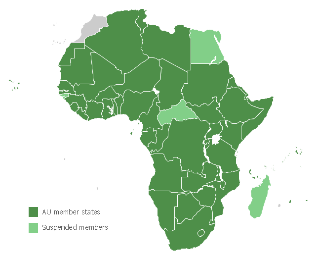
Map of Africa, with African Union member states in dark green and states with suspended membership in light green.
"The African Union (AU) is a union consisting of 54 African states. The only all-African state not in the AU is Morocco.
The most important decisions of the AU are made by the Assembly of the African Union, a semi-annual meeting of the heads of state and government of its member states. The AU's secretariat, the African Union Commission, is based in Addis Ababa, Ethiopia." [African Union. Wikipedia]
This political map example was redesigned from the Wikimedia Commons file: Map of the African Union with Suspended States.svg.
[commons.wikimedia.org/ wiki/ File:Map_ of_ the_ African_ Union_ with_ Suspended_ States.svg]
The example "Map of the African Union with Suspended States" was created using the ConceptDraw PRO diagramming and vector drawing software extended with the Continent Map solution from the Maps area of ConceptDraw Solution Park.
Political map - African Union
Geo Map - Africa - Tanzania

Geo Map - Africa

Geo Map - Africa - Namibia

 Continent Maps
Continent Maps solution extends ConceptDraw PRO software with templates, samples and libraries of vector stencils for drawing the thematic maps of continents, state maps of USA and Australia.
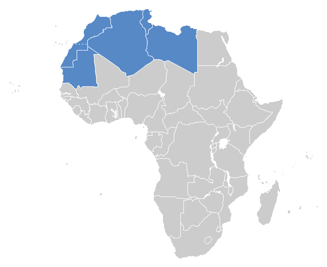
"The Maghreb is usually defined as much or most of the region of Northwest Africa, west of Egypt. The traditional definition as being the region including the Atlas Mountains and the coastal plains of Morocco, Algeria, Tunisia, and Libya, was later superseded, especially since the 1989 formation of the Arab Maghreb Union, by the inclusion of Mauritania and of the disputed territory of Western Sahara (mostly controlled by Morocco)." [Maghreb. Wikipedia]
This Maghreb map example was redesigned using ConceptDraw PRO diagramming and vector drawing software from the Wikimedia Commons file: Maghreb.png.
[commons.wikimedia.org/ wiki/ File:Maghreb.png]
The political map example "Maghreb countries" is included in the Continent Map solution from Maps area of ConceptDraw Solution Park.
Political map - Maghreb countries
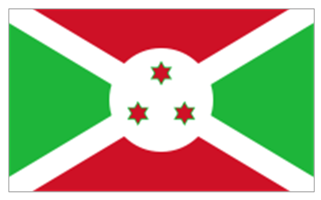
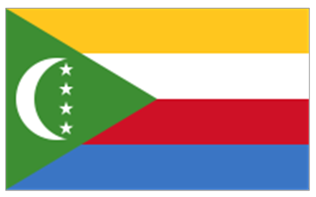
The stencils library "Africa flags" contains 61 clipart images of Africa state flags.
"These are the various flags of Africa.
1. Supernational and international flags:
Flag of the African Union, Flag of the East African Community, Flag of the OPEC, Flag of the Arab League, Flag of the Organisation of the Islamic Conference, Pan-African flag (not in official use).
2. African Great Lakes: Flag of Burundi, Flag of Kenya, Flag of Rwanda, Flag of South Sudan, Flag of Tanzania, Flag of Uganda.
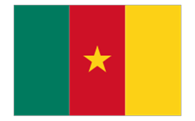
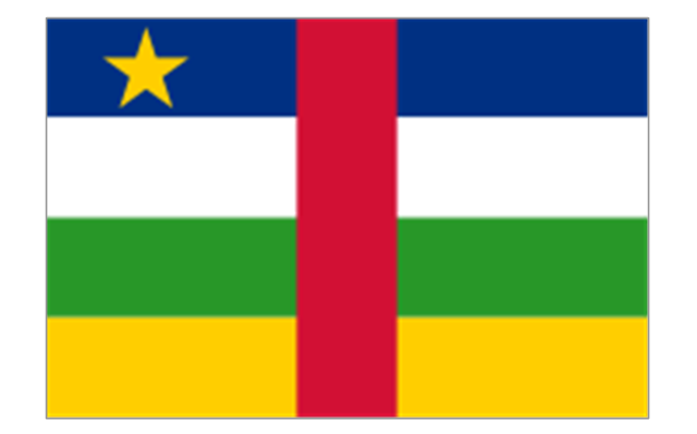
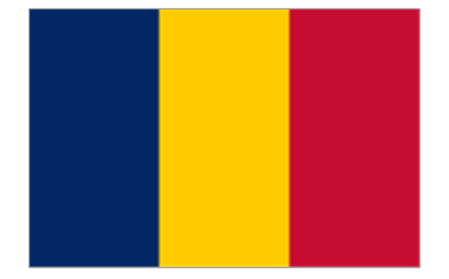
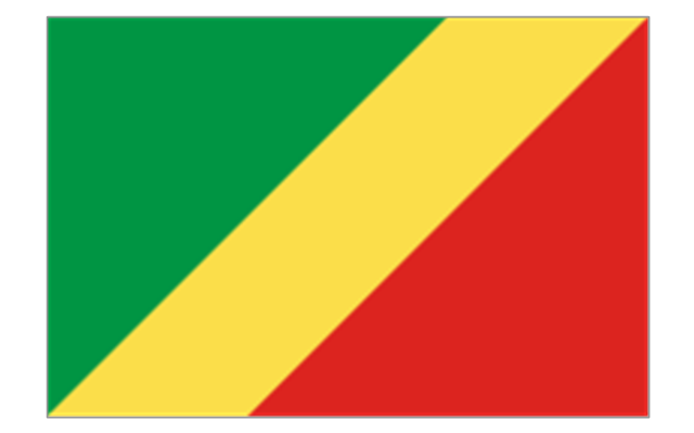
3. Central Africa: Flag of Angola, Flag of Cameroon, Flag of the Central African Republic, Flag of Chad, Flag of the Democratic Republic of the Congo, Flag of the Republic of the Congo, Flag of Equatorial Guinea, Flag of Gabon, Flag of Sao Tome and Principe, Flag of Sudan.
4. Horn of Africa: Flag of Djibouti, Flag of Eritrea, Flag of Ethiopia, Flag of Somalia.
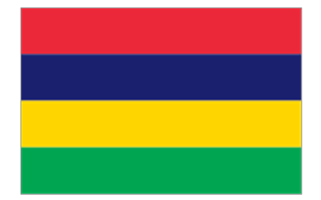
5. Indian Ocean islands: Flag of Comoros, Flag of Madagascar, Flag of Mauritius, Unofficial Flag of Mayotte (France), Flag of Reunion (France), Flag of the Seychelles.
6. North Africa: Flag of Algeria, Flag of the Canary Islands (Spain), Flag of Ceuta (Spain), Flag of Egypt, Flag of Libya, Flag of Madeira (Portugal), Flag of Melilla (Spain), Flag of Morocco, Flag of Tunisia, Flag of the Sahrawi Arab Democratic Republic.
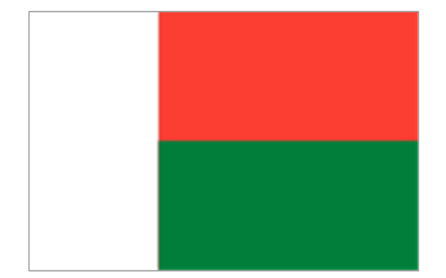
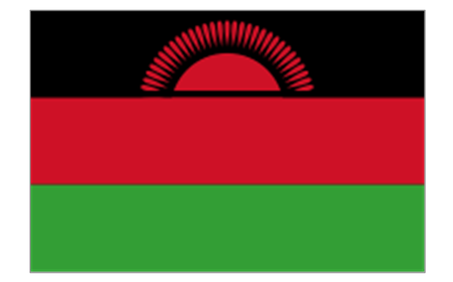
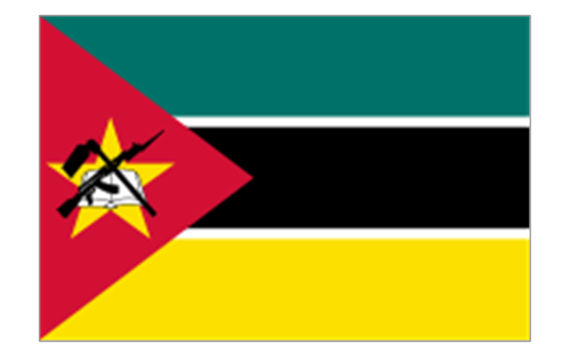
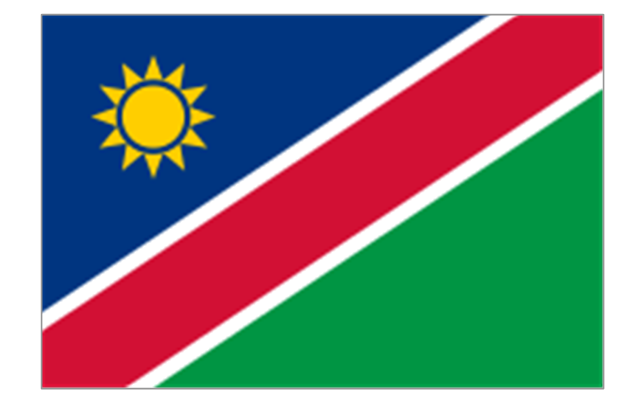
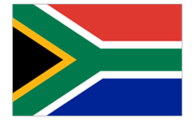
7. Southern Africa: Flag of Botswana, Flag of Lesotho, Flag of Malawi, Flag of Mozambique, Flag of Namibia, Flag of South Africa, Flag of Swaziland, Flag of Zambia, Flag of Zanzibar (Tanzania), Flag of Zimbabwe.
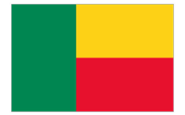
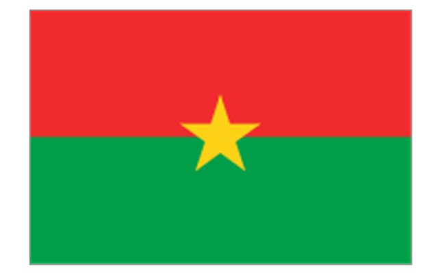
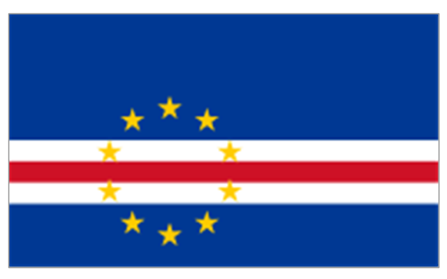
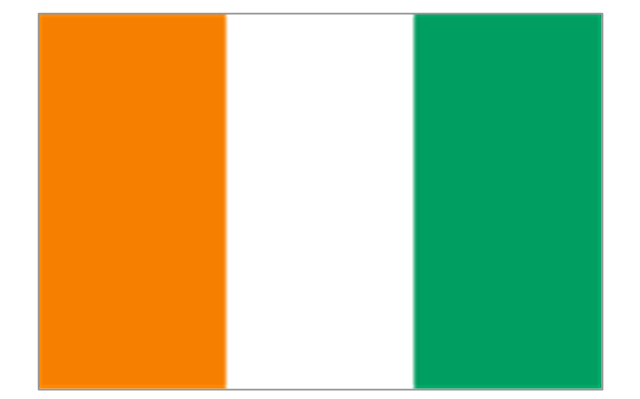
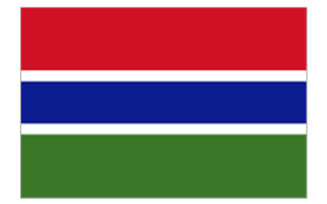
8. West Africa: Flag of Ascension Island (United Kingdom), Flag of Benin, Flag of Burkina Faso, Flag of Cape Verde, Flag of The Gambia, Flag of Ghana, Flag of Guinea, Flag of Guinea-Bissau, Flag of Ivory Coast, Flag of Liberia, Flag of Mali, Flag of Mauritania, Flag of Niger, Flag of Nigeria, Flag of Saint Helena (United Kingdom), Flag of Senegal, Flag of Sierra Leone, Flag of Togo, Flag of Tristan da Cunha (United Kingdom)." [Flags of Africa. Wikipedia]
The clip art example "Africa flags - Stencils library" was created using the ConceptDraw PRO diagramming and vector drawing software extended with the Continent Maps solution from the Maps area of ConceptDraw Solution Park.
"These are the various flags of Africa.
1. Supernational and international flags:
Flag of the African Union, Flag of the East African Community, Flag of the OPEC, Flag of the Arab League, Flag of the Organisation of the Islamic Conference, Pan-African flag (not in official use).
2. African Great Lakes: Flag of Burundi, Flag of Kenya, Flag of Rwanda, Flag of South Sudan, Flag of Tanzania, Flag of Uganda.
3. Central Africa: Flag of Angola, Flag of Cameroon, Flag of the Central African Republic, Flag of Chad, Flag of the Democratic Republic of the Congo, Flag of the Republic of the Congo, Flag of Equatorial Guinea, Flag of Gabon, Flag of Sao Tome and Principe, Flag of Sudan.
4. Horn of Africa: Flag of Djibouti, Flag of Eritrea, Flag of Ethiopia, Flag of Somalia.
5. Indian Ocean islands: Flag of Comoros, Flag of Madagascar, Flag of Mauritius, Unofficial Flag of Mayotte (France), Flag of Reunion (France), Flag of the Seychelles.
6. North Africa: Flag of Algeria, Flag of the Canary Islands (Spain), Flag of Ceuta (Spain), Flag of Egypt, Flag of Libya, Flag of Madeira (Portugal), Flag of Melilla (Spain), Flag of Morocco, Flag of Tunisia, Flag of the Sahrawi Arab Democratic Republic.
7. Southern Africa: Flag of Botswana, Flag of Lesotho, Flag of Malawi, Flag of Mozambique, Flag of Namibia, Flag of South Africa, Flag of Swaziland, Flag of Zambia, Flag of Zanzibar (Tanzania), Flag of Zimbabwe.
8. West Africa: Flag of Ascension Island (United Kingdom), Flag of Benin, Flag of Burkina Faso, Flag of Cape Verde, Flag of The Gambia, Flag of Ghana, Flag of Guinea, Flag of Guinea-Bissau, Flag of Ivory Coast, Flag of Liberia, Flag of Mali, Flag of Mauritania, Flag of Niger, Flag of Nigeria, Flag of Saint Helena (United Kingdom), Flag of Senegal, Flag of Sierra Leone, Flag of Togo, Flag of Tristan da Cunha (United Kingdom)." [Flags of Africa. Wikipedia]
The clip art example "Africa flags - Stencils library" was created using the ConceptDraw PRO diagramming and vector drawing software extended with the Continent Maps solution from the Maps area of ConceptDraw Solution Park.
Burundi
Comoros
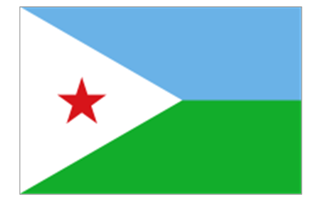
Djibouti
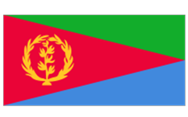
Eritrea
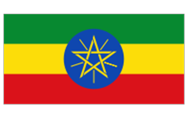
Ethiopia
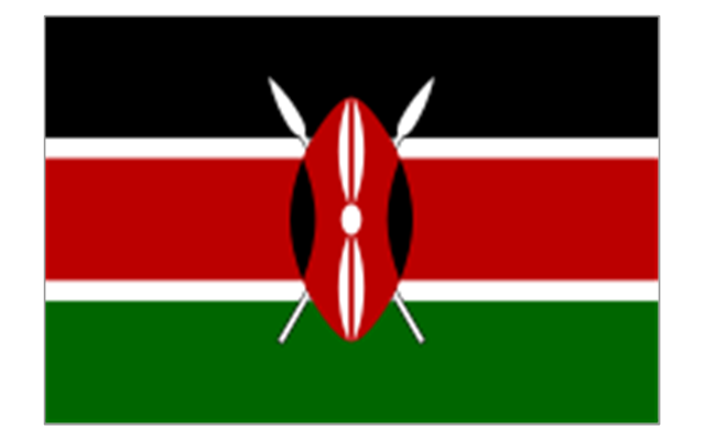
Kenya
Madagascar
Malawi
Mauritius
Mayotte (France)
-africa-flags---stencils-library.png--diagram-flowchart-example.png)
Mozambique
Réunion (France)
-africa-flags---stencils-library.png--diagram-flowchart-example.png)
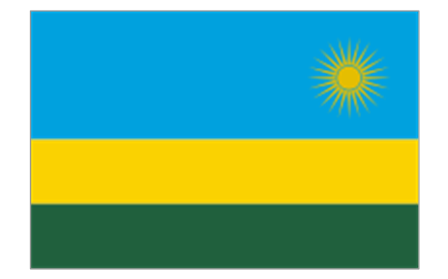
Rwanda
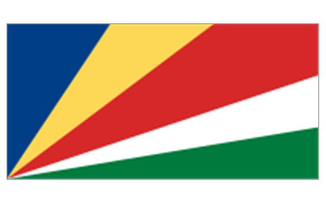
Seychelles
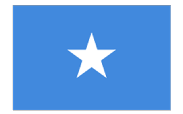
Somalia
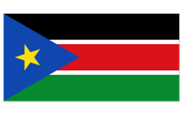
South Sudan
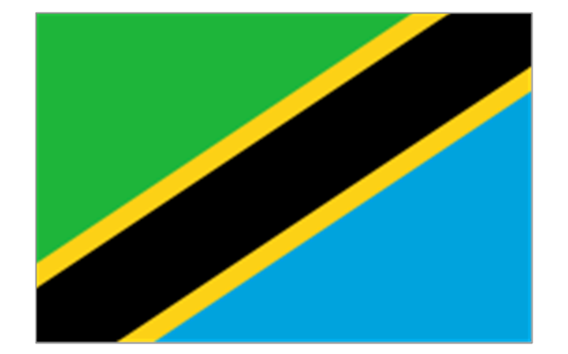
Tanzania
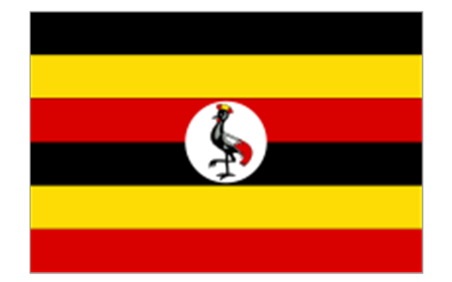
Uganda
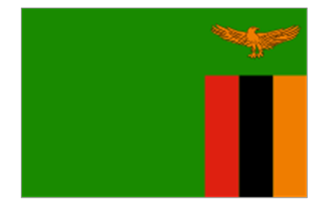
Zambia
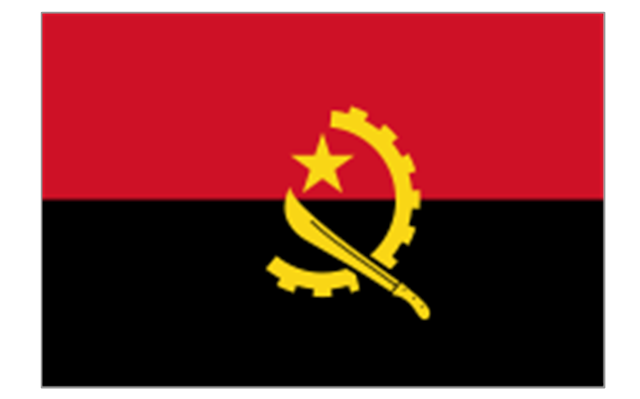
Angola
Cameroon
Central African Republic
Chad
Republic of the Congo
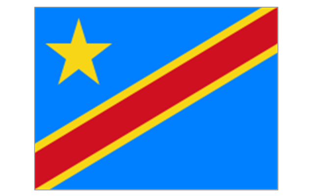
Democratic Republic of the Congo
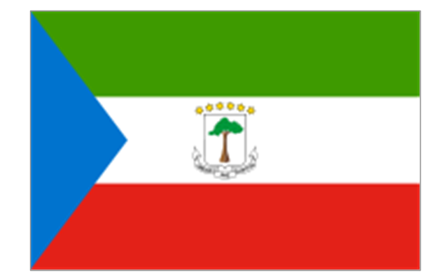
Equatorial Guinea
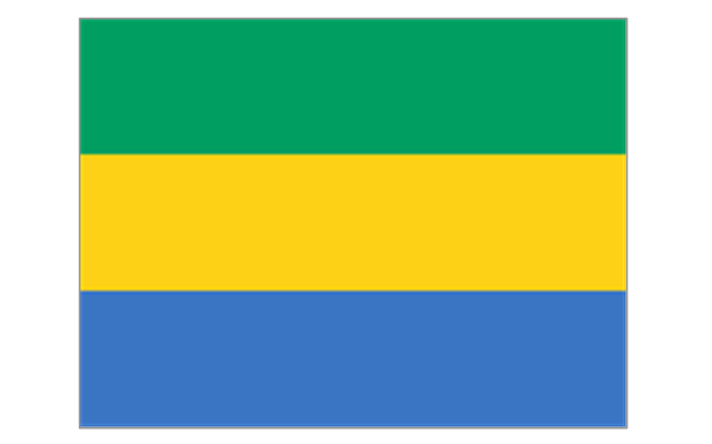
Gabon
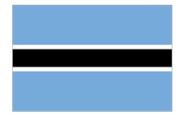
Botswana
Lesotho
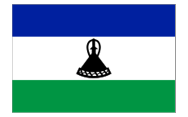
Namibia
South Africa
Benin
Burkina Faso
Cape Verde
Côte d'Ivoire
Gambia
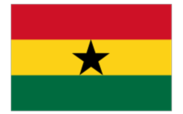
Ghana
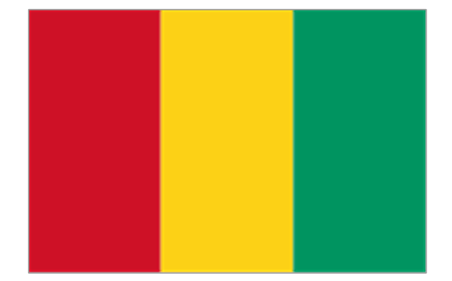
Guinea
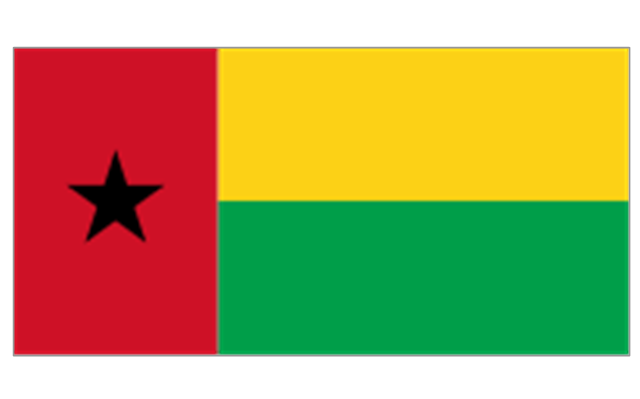
Guinea-Bissau
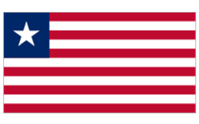
Liberia
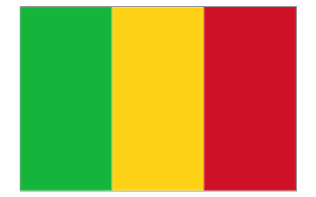
Mali
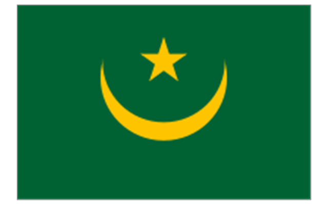
Mauritania
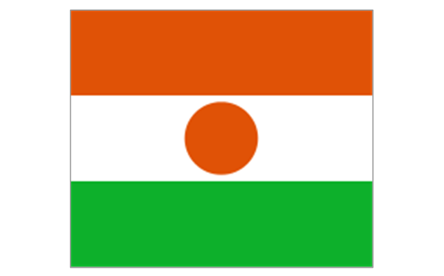
Niger
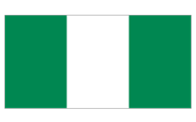
Nigeria
Saint Helena (United Kingdom)
-africa-flags---stencils-library.png--diagram-flowchart-example.png)
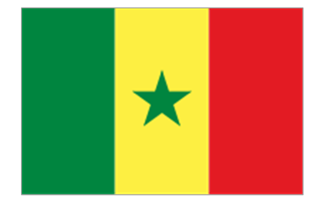
Senegal
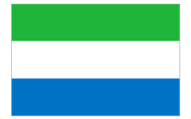
Sierra Leone
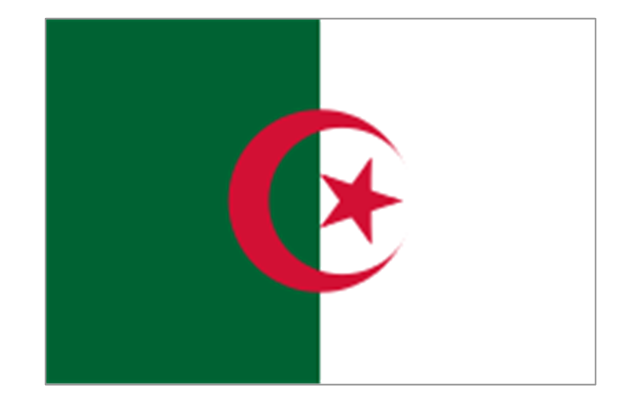
Algeria
Canary Islands (Spain)
-africa-flags---stencils-library.png--diagram-flowchart-example.png)
Ceuta (Spain)
-africa-flags---stencils-library.png--diagram-flowchart-example.png)
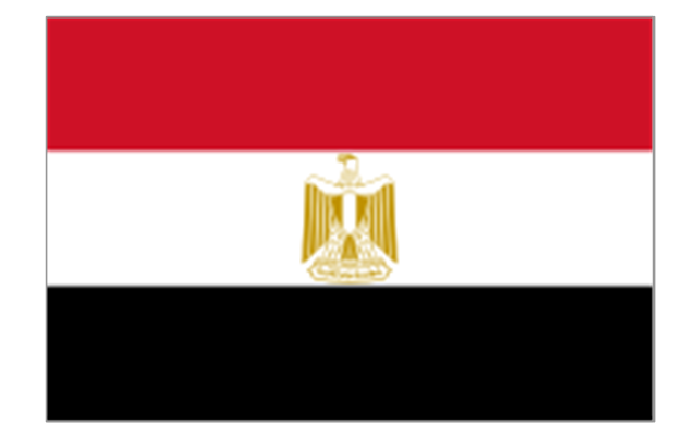
Egypt
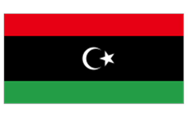
Libya
Madeira (Portugal)
-africa-flags---stencils-library.png--diagram-flowchart-example.png)
Melilla (Spain)
-africa-flags---stencils-library.png--diagram-flowchart-example.png)
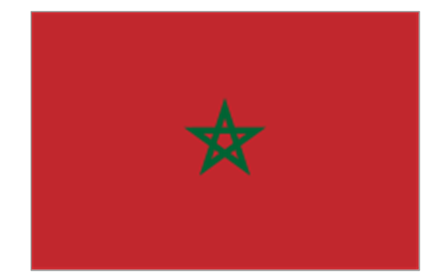
Morocco
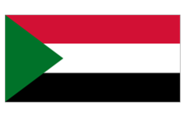
Sudan
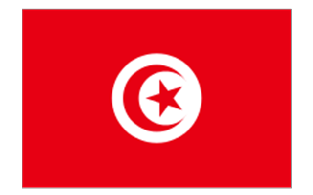
Tunisia
Geo Map - Asia - Myanmar

Geo Map - Europe - Germany

Geo Map - Europe - Romania

Geo Map - Europe - Poland

Geo Map - Canada - Alberta

Geo Map - Europe - Spain

Geo Map - Europe - Croatia

Geo Map - Asia - India

- Map of the African Union with Suspended States | Continent Maps ...
- Geo Map - Africa | Map of the African Union with Suspended States ...
- Map of the African Union with Suspended States
- Geo Map - Africa - Eritrea
- Africa flags - Stencils library | Geo Map - Africa - Namibia | Continent ...
- States Map
- Suspended Light
- Geo Map - United States of America Map | Andean states - Political ...
- Andean states - Political map | Geo Map - United States of America ...
- Africa flags - Stencils library | Geo Map - Africa | Arican States Flag
- Geo Map - Africa - Central African Republic | Africa flags - Stencils ...
- Geo Map - Africa - Eritrea | Africa flags - Stencils library | Africa flags ...
- Geo Map - USA - Illinois | East Africa - Political map | Geo Map - USA ...
- Africa flags - Stencils library | Flags - Stencils library | Geo Map ...
- Geo Map - Africa - Djibouti | Africa flags - Stencils library | Africa ...
- Geo Map - Africa - Tanzania | East Africa - Political map | Africa flags ...
- Geo Map - Africa - Egypt | Egypt timeline of communication ...
- Learn how to create a current state value stream map | Geo Map ...
- Geo Map - Africa - Ghana
- Geo Map - Africa | East Africa - Political map | Africa flags - Stencils ...