HelpDesk
How to Draw Maps of Australia

 Germany Map
The Germany Map solution contains collection of samples, templates and scalable vector stencil graphic maps, representing map of Germany and all 16 states of Germany. Use the Germany Map solution from ConceptDraw Solution Park as the base for various them
HelpDesk
How to Create a Map Depicting the United Kingdom Counties and Regions

Geo Map — United States of America Map

HelpDesk
How to Create a Map of Germany

Map of USA

"Alphabetical list of subregions in the United Nations geoscheme for Europe.
Eastern Europe: Belarus, Bulgaria, Czech Republic, Hungary, Moldova, Poland, Romania, Russia, Slovakia, Ukraine.
Northern Europe: Åland Islands, Denmark, Estonia, Faroe Islands, Finland, Guernsey, Iceland, Ireland, Isle of Man, Jersey, Latvia, Lithuania, Norway, Svalbard and Jan Mayen, Sweden, United Kingdom.
Southern Europe: Albania, Andorra, Bosnia and Herzegovina, Croatia, Gibraltar, Greece, Italy, Malta, Montenegro, Portugal, Macedonia, San Marino, Serbia, Slovenia, Spain, Vatican City.
Western Europe: Austria, Belgium, France, Germany, Liechtenstein, Luxembourg, Monaco, Netherlands, Switzerland." [United Nations geoscheme for Europe. Wikipedia]
The example "Political map of Europe" illustrated with European state flags was created using the ConceptDraw PRO diagramming and vector drawing software extended with the Continent Maps solution from the Maps area of ConceptDraw Solution Park.
Political map - Europe

Geo Map of Americas

Map of Continents

Map of Germany — Saarland State

Map of Germany

Map of USA States

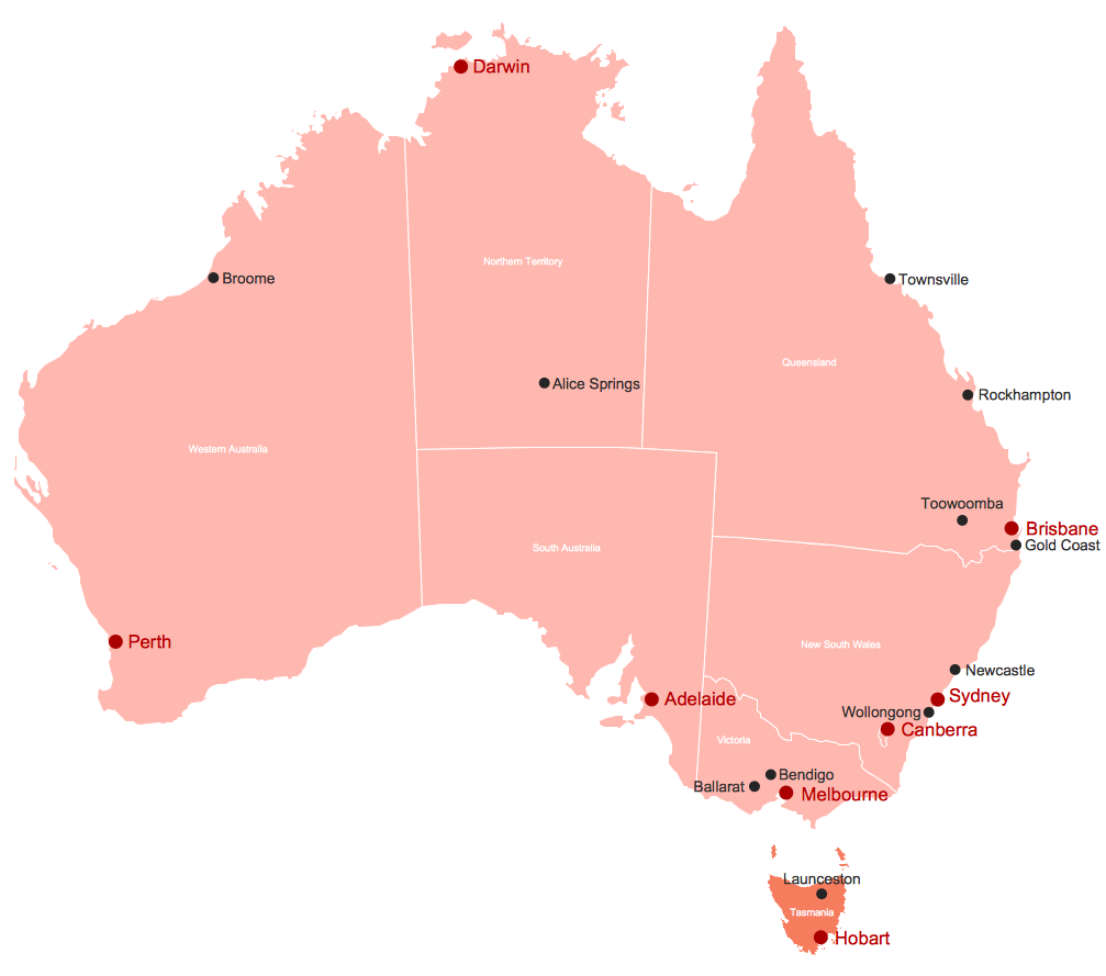
Map of Australia
Map of UK

Map of England

- Political Map Of Spain
- Political map of Europe
- Continent Maps | How to Draw a Map of North America Using ...
- Geo Map of Americas
- Vector Map of Germany | MTA Subway Map | Value Stream Mapping ...
- 7 Continents Map
- Geo Map - United States of America Map | USA Maps | Map of USA ...
- Map Of Europe
- Concept Map Of Marketing
- How to Draw a Map of North America Using ConceptDraw PRO ...
- Geo Map - South America Continent | How to Draw a Map of North ...
- Continent Maps | Central Asia - Political map | Political map of Asia ...
- USA Maps | Geo Map - United States of America Map | Map of USA ...
- Continent Maps | Geo Map - South America Continent | Continent ...
- | | Geo Map - Europe - Belarus | Maps Of Countries
- Geo Map - Australia
- Map Of America With States
- Political map of Europe | Geo Map - Europe - United Kingdom | Map ...
- Map of median household income in Australia | Map of median ...
- Map of Germany | 7 Continents Map | USA Map States | Large Map ...